|
Snowbank Mountain is the highpoint of the West Mountains, not far from Cascade Idaho. The summit is adorned with some FAA radar equipment, and a couple small buildings. You can drive your car there in the summer, once the snowbanks melt of course. We elected to do this one as a sporting 10-mile snowshoe climb. We threw in the nearby Collier Peak to make it even more sporting.
After a 90-minute drive to Cascade Reservoir, our search for a trailhead began. Thanks to some help from Erik’s GPS phone, we found a plowed public road that got us through the private property and on our way up the mountain. We parked near the start of Doriann Drive, and then followed various roads and eventually followed the string of power lines up Willow Creek. Tom did most of the trail-breaking (a common theme for the day) on the way to Willow Lake. From there, we made a careful crossing of the outlet stream and began bushwhacking our way up the northeast face of Collier Peak.
Staying dry was a problem since the snow kept falling, and we were winding our way through snowy brush along the way. As we got higher, the brush got thinner and the sun at least tried to burn through the fog. It was a neat scene, as we made our way through the forest of snow-covered trees. Once on the summit of Collier Peak, the wind picked up so we headed for cover and changed out of some of our wet gear. There was some discussion about turning back at this point, but we soldiered on down to the saddle above Shirts Lake, then up the ridge.
Visibility was pretty limited as we headed towards Snowbank, and the winds were howling. It gave the feel of a big arctic adventure, even though we were only just over 8000 feet in elevation. It was good to reach the summit, but with sideways blowing snow, it was even better to start heading back down. Our tracks were halfway filled with snow as we retraced our steps back down the ridge.
When we got to be due south of Shirts Lake, we decided to descend into the valley instead of re-climbing Collier Peak. Splattski lead the way down. The upper portion of the valley was very cool, with some impressive looking cliffs engulfed in fog and tons of new falling snow. As we got lower, the brush got thicker and the pace got slower. Plenty of willows and deadfall made for some creative route-finding along the way. It was a welcome sign to find the power lines and snow-covered road above Willow Lake. All that was left was to follow our tracks back to the car.
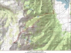
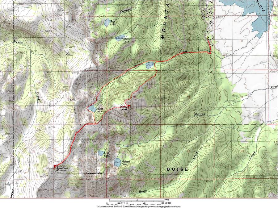
Map of our route, up the ridge and down the valley. About 10 miles and 4200' gain round trip.
|
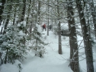
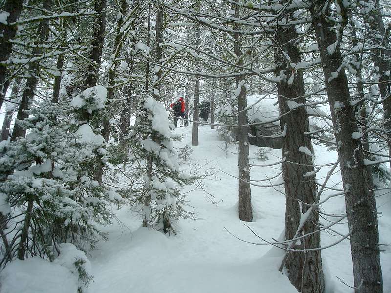
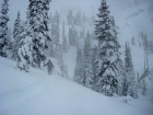
Bushwhacking our way up, above Willow Lake.
|
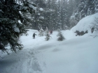
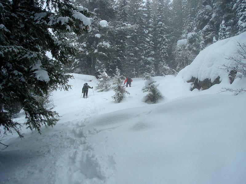
About halfway up Collier Peak.
|
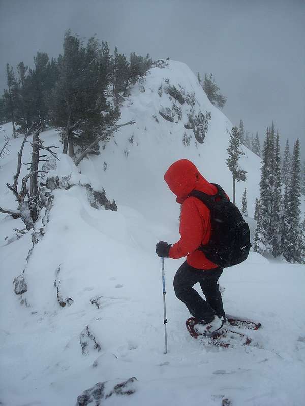
Nearing the summit of Collier Peak.
|

Leaving Collier's summit.
|

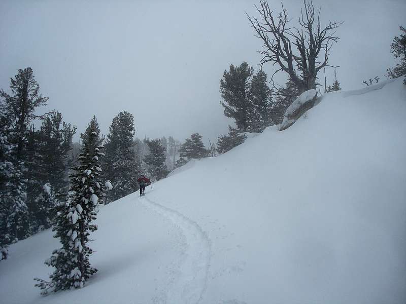
Rounding a bend on the way to Snowbank Mountain
|
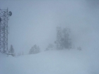
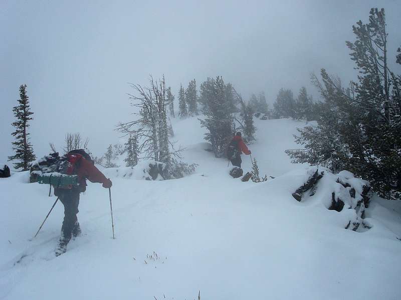
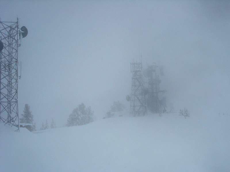
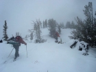
Low visibility on the summit of Snowbank Mountain.
|
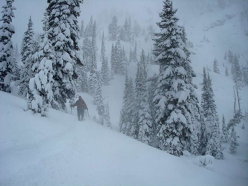
Descending towards Shirts Lake.
|
|