|
Hutton Peak and Fiddler Benchmark are located in the Danskin Mountain, just east of Boise. We were looking for a snowshoe option close to home, and Splattski came up with the idea to do these peaks from the Willow Creed trailhead, only a 45-minute drive from home. We decided on a nice loop with great ridgeline views. I met Matt, Erik, and John at the usual spot at 7am, and then we made the drive to Blacks Creek Road and the Willow Creek dirt bike trailhead. It was brisk 9 degrees below zero at the start of the hike!
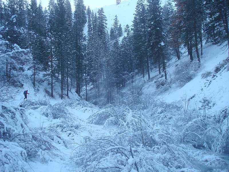
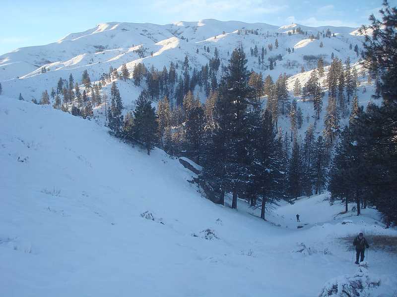
There was a good trail along Willow Creek; unfortunately it criss-crossed the lightly frozen creek a few times. So we had easy travel when the trail was on our side of the creek, but steep side-hilling when the trail was on the other side. This made for some painful snowshoeing, and we eventually opted to head for the ridge after about a mile or so. Fortunately the snow was pretty firm, and we made steady progress in gaining a couple thousand feet of elevation on our way up to the ridge. For the most part, we just followed the ridgelet just to the north of Hutton Creek.
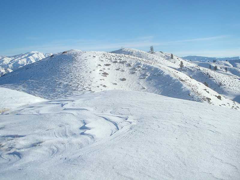
Once on the ridge, the views were great, and we made our way over numerous false summits before eventually reaching the summit of Hutton Peak (nicknamed for nearby Hutton Creek). We were ready for lunch, but the blowing wind was just too cold, so we kept going until we found a sheltered spot from the wind. The views from the ridge were great, with wrinkly Danskin terrain all around us. We continued on toward Fiddler Benchmark, with occasional snowdrifts to deal with, and numerous ups and downs along the way. From the summit we had a good view of Little Fiddler, which is one of the more attractive peaks in the area.
After a quick snack, it was time to head back. We ended up going down the south ridge, which fed us into the Fornham Creek drainage. After descending to about 4100’, we tried to maintain our elevation and began curling back to the west for a while before eventually reaching Willow Creek. The sun was now starting to get low in the sky, and we figured we still had about four more miles of hiking to do. We hoped to make good time along the trail, but it was well guarded in places by willows and thorn bushes. There was one section where we had to get down on all fours and crawl in order to find the path of least resistance.
We eventually got back to the steep side-hilling section from earlier in the day. It was a bit of an ordeal, but we managed to get across the toughest part just before dark. John led us the last half mile back to the trail by headlamp. I was glad to not have to stop and dig mine out of the pack, since the temp had dropped back below zero again. We were all looking forward to a warm drive back to town. Unfortunately, one of the windows in my car decided to stick open a couple inches. Just a wee bit chilly I would say. All in all, a great adventure though. Sunny skies and great views, made the 10-hour day well worth the effort.
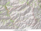
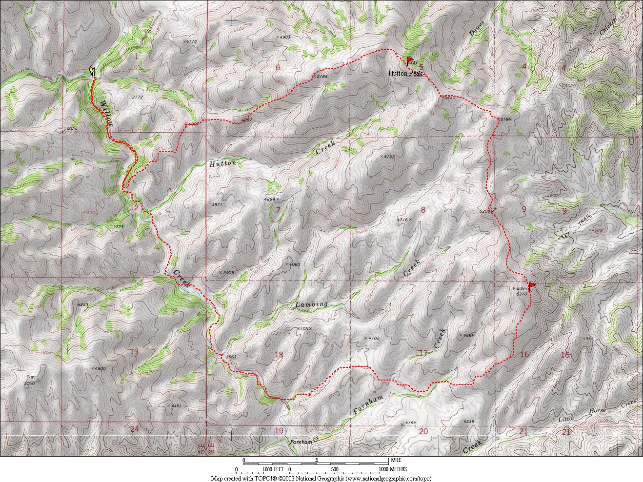
Map or our route, just over 12 miles and 4200' gain.
|
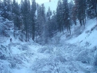
Headed up the frozen Willow Creek drainage.
|
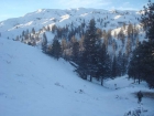
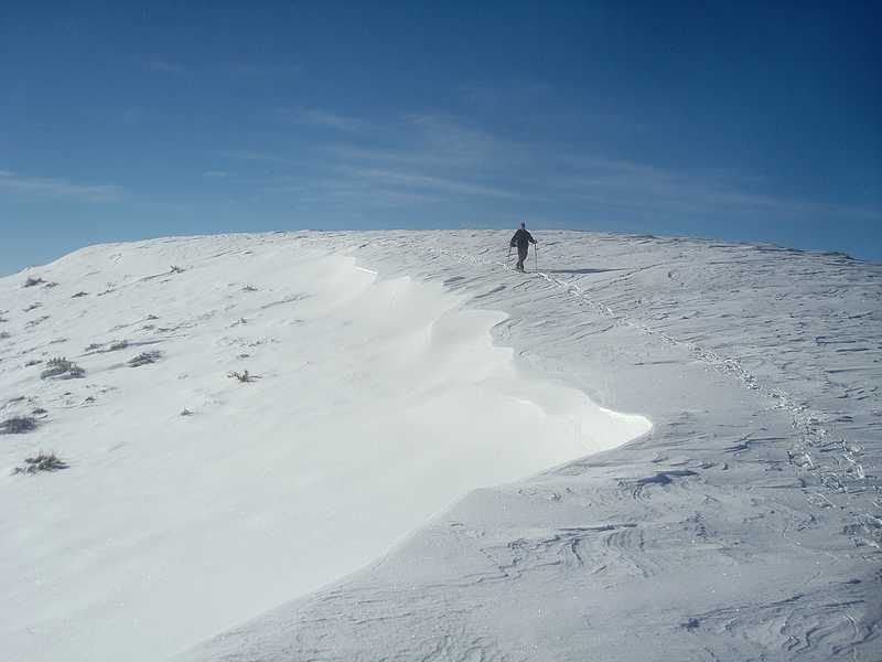
Making our way up to towards the ridge.
|
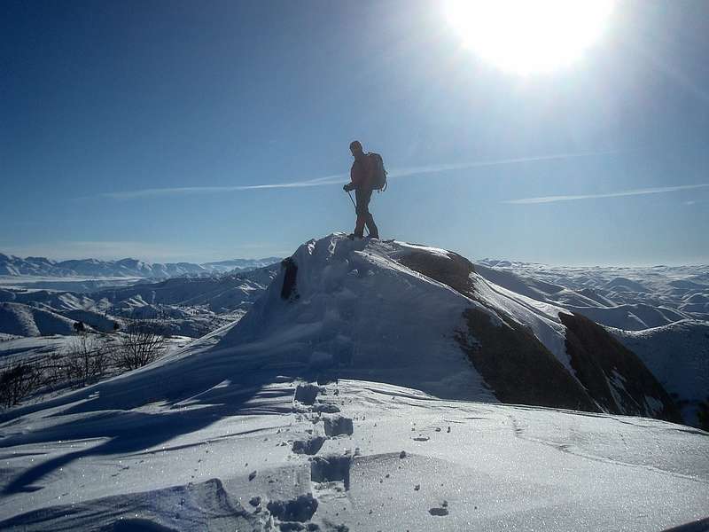
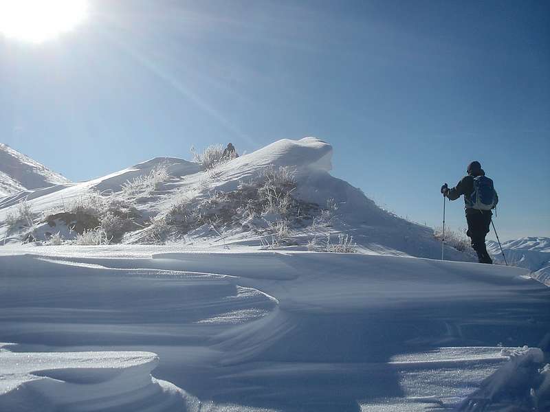
Matt during our cold sunny day.
|
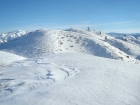
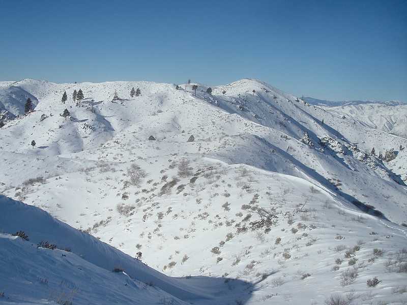
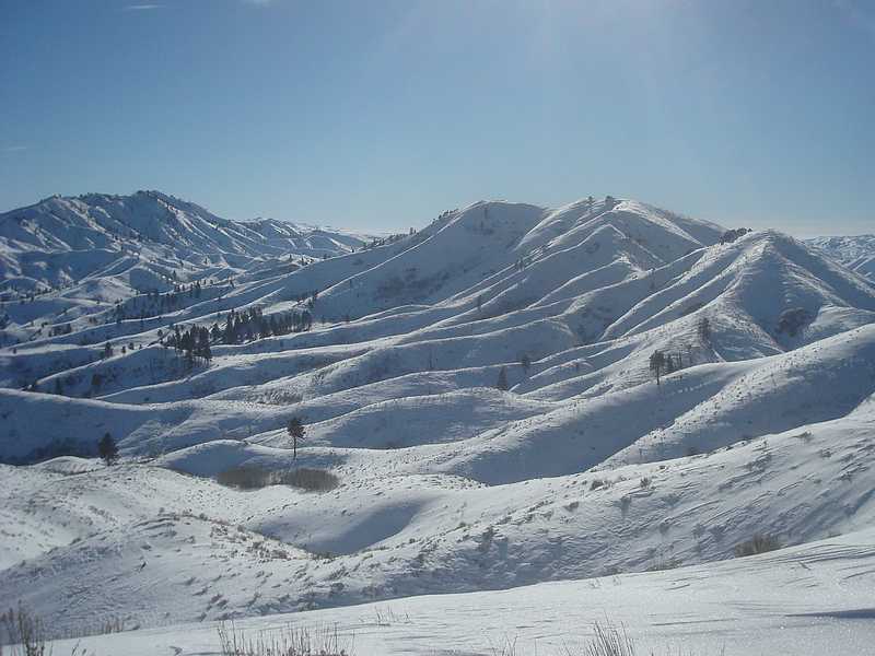
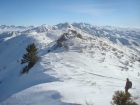
Several false summits before we reach Hutton.
|

Mount Heinen and Arrowrock.
|

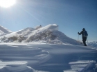
Still heading towards Hutton.
|
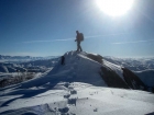
John on the summit of Hutton Peak.
|
From the ridge, looking back on Hutton.
|
Looking up towards Fiddler BM, with Little Fiddler on the left.
|
Windblown features along the ridge.
|
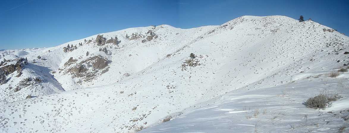
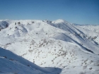
Nearing the summit of The Fiddler.
|

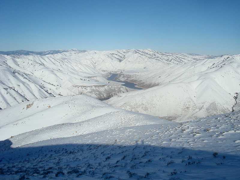
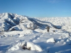
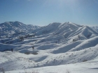
Looking west across the wrinkly Danskins. The ridge in the distance goes from Three Point Mountain to Kepros Peak.
|

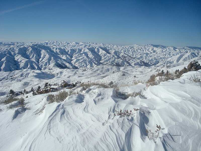
Panoramic view from the Fiddler descent.
|

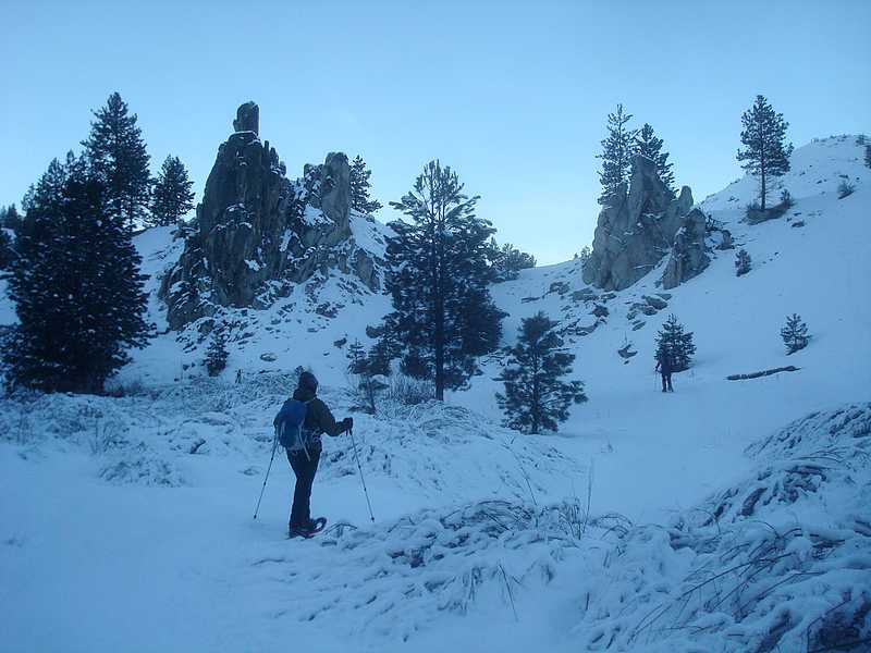
Rock formations on Willow Creek, on our way out.
|
|