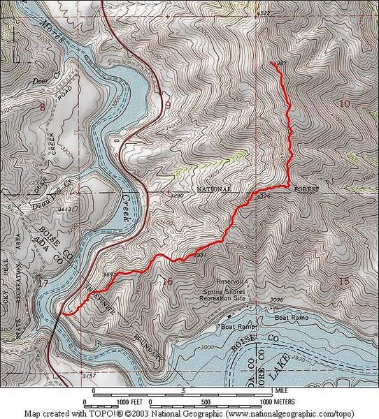
Cervidae Peak isn't the tallest mountain around, but it gets quite a few visitors since its close to Boise and provides a good workout. Most people climb it from the south, starting near the Spring Shores Marina. But for my first climb of the peak, I decided to start at the Mores Creek "high bridge" on highway 21, and follow the ridge up to the summit. This route make for more gain and loss as you go up and down over the various points along the way. Its a total of around 5.5 miles and 2400' of elevation gain round trip. It also gives you more opportunities to spot deer and elk. During my afternoon hike to the summit, I saw at least 20 deer in five different groups. This peak is a great option for the spring time.
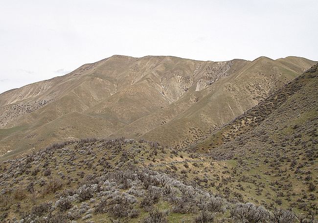
A look at Cervidae early in the hike, from near point 3697'.
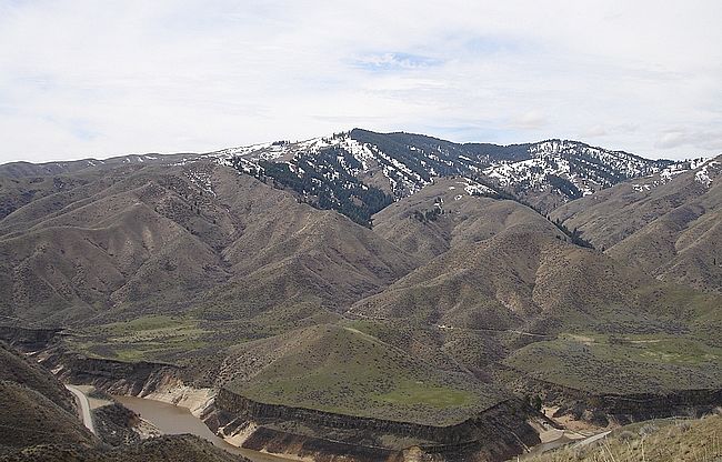
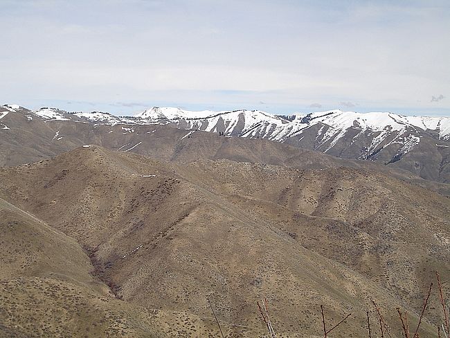
Looking towards the north side of Lucky Peak from the slopes of Cervidae Peak.
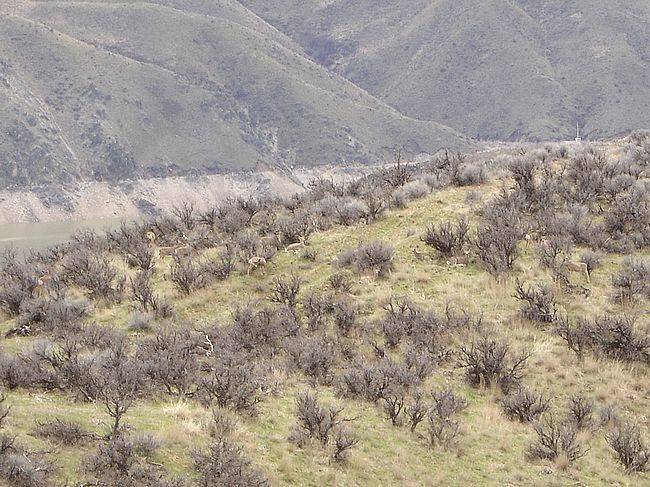
This is one of several groups of deer I saw during the hike.
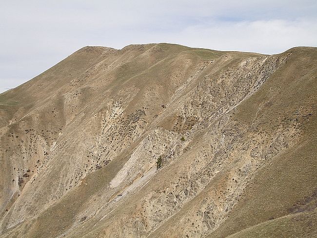
Here is the steep west side of Cervidae Peak.
A view to the east from the summit.
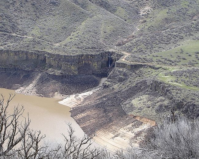
The spring run-off made this waterfall, flowing into Lucky Peak reservoir.
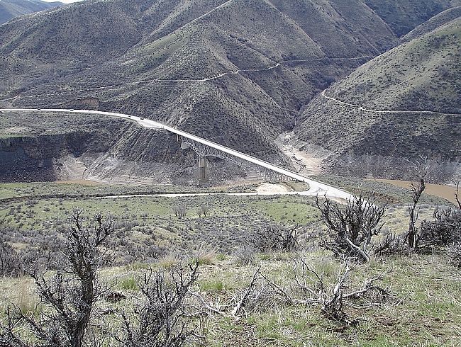
Looking towards the bridge on my way back down.
This is the route starting from the Mores Creek high bridge.
IdahoAlpineZone is unofficially sponsored by Skippy Peanut Butter.