|
White Cap Peak is located in eastern Idaho’s rugged Lost River Range. To spot it from the highway north of Mackay, look for Leatherman Pass (the lowest point on the Lost River front), and White Cap is the peak just to the left. The mountain gets its name because of an abundance of quartzite type rock that makes up its summit block. Plus, its not quite as steep as some of the other peaks in the area, so its upper slopes tend to hold snow a little later into the summer months.
Plans had come together quickly after Splattski sent me an email late in the week. I was a bit skeptical based on the weather forecast and possible November snow levels, so we had fall-back plans just in case. After getting to John’s house a little late, we left Boise around 4:30am and made the four-hour drive to the Sawmill Gulch trailhead near Coyote Spring. We had a pretty good view of the peak from below, and opted to leave the snowshoes at the car since the snow coverage looked pretty sparse.
The first mile and a half follows a steep and rocky road, and then we picked up the trail after leaving the road where it takes a hard left. The trail climbs up to the right, and it was pretty easy to follow with all of the leaves off the underbrush. We continued along and made good pace even with the ground being covered in snow from about 9000’ on up. After about an hour and half, we stopped just below Sawmill Pass for our first break. While taking in a quick snack, we decided to head up a gully to the northeast. Thanks to a few strategically timed coughs (courtesy of a cold I’d been fighting), John took pity on me and broke trail for most of this section until we gained the ridge at about 10900’.
Once on the ridge, the wind picked up a bit, and so did the elevation induced fatigue. We used the snow to our advantage to avoid loose scree, and made our way around the shoulder of the ridge by veering to the west. The rest of the climb was uneventful, and we took in great views as we climbed the last 500 feet, reaching the summit at about 12:30. Once on the summit, the wind was howling nicely. We sampled the views for a while, then had a quick snack before the cold convinced us to descend.
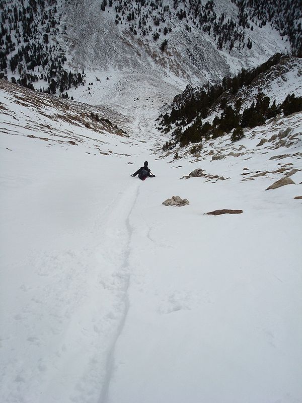
We’d been keeping an eye on the weather throughout the day, and could see thunder boomers forming to the southwest, but it never caught up with us. The descent was easy going. John even glissaded a bit down the gully while I plunge stepped. The hike down was uneventful, and we were feeling good about the day. We’d definitely “stolen one” by climbing a high peak like White Cap during a narrow weather window in November. Thanks to great conditions, it had taken us only 7 hours to cover just over seven miles and 4600 feet of elevation gain. It had been a great day!
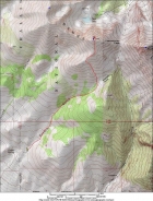
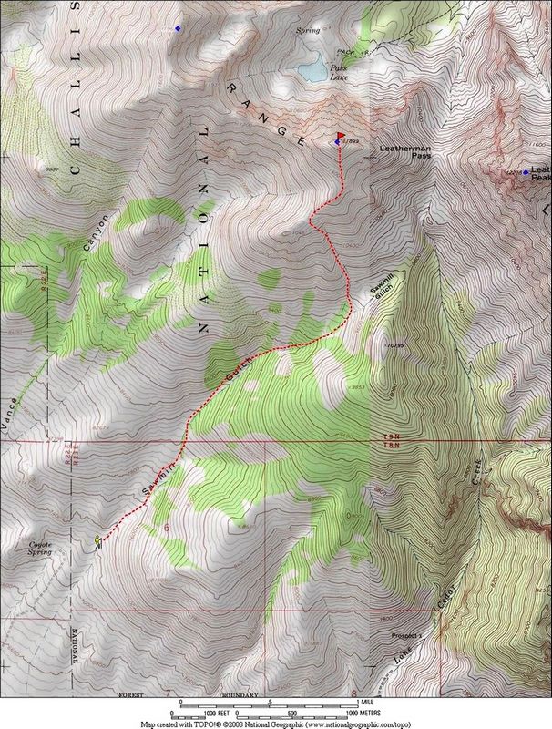
Map of the route, 7 miles and 4500' elevation gain.
|
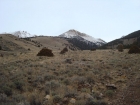
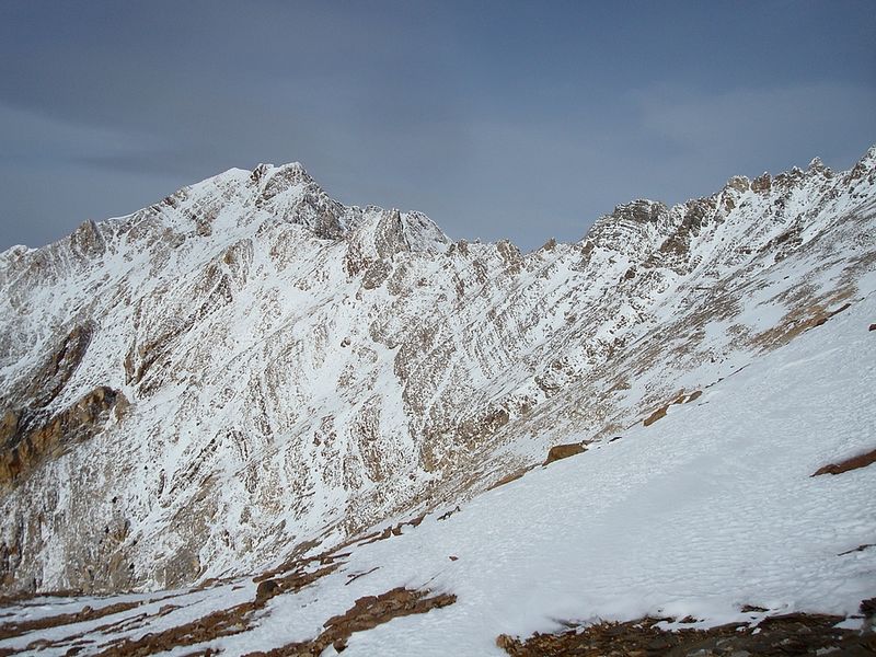
A view of White Cap peak, early in the hike.
|
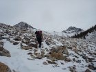
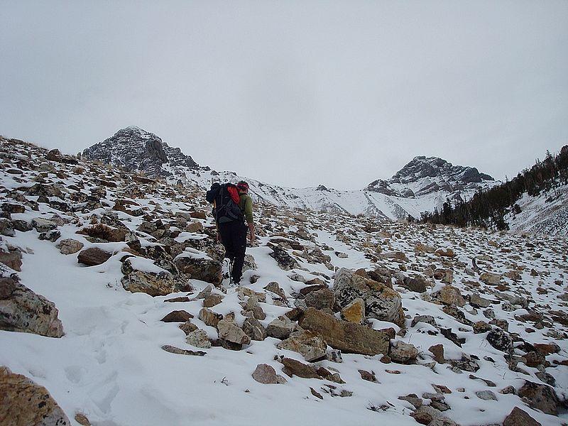
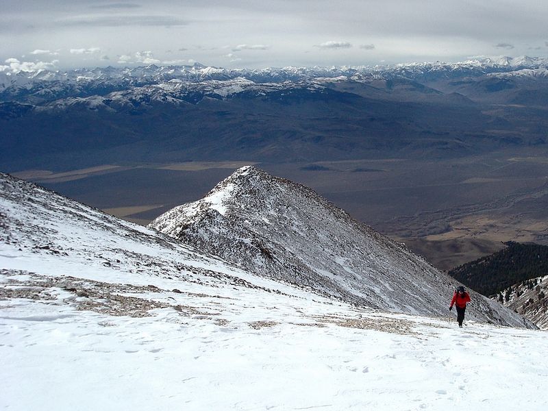
John nearing Sawmill Pass, Leatherman and Badrock in the background.
|
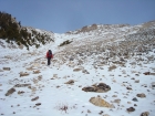
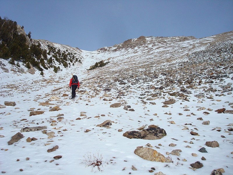
John making his way up the gully.
|
Badrock Peak and Mount Church from about half-way up the gully.
|

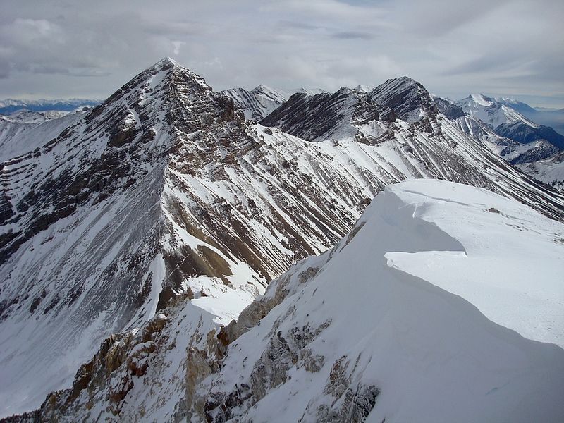
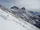
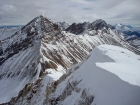
The gnarly ridge from White Cap to Peak 11967'.
|
John climbing, with the Pioneers and Boulders in the background.
|

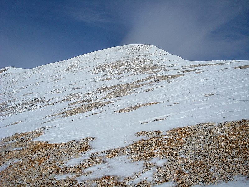
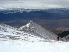
The final approach to the summit.
|
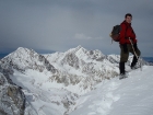
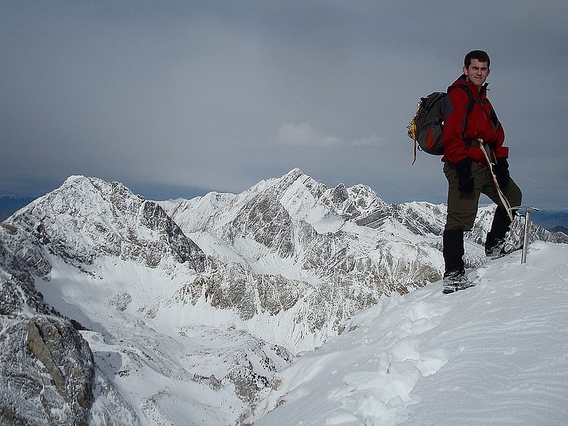
Me on the summit, with Mount Idaho and Mount Borah in the background.
|

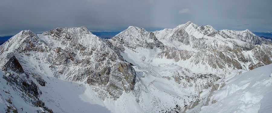
Summit view including Peak 11967', Mount Idaho, and Mount Borah.
|
Leatherman, Badrock, and Church. Already some good sized cornices forming on the west ridge.
|

John glissading down the gully.
|
|