|
Cucamonga Peak is located in the San Gabriel Mountains of southern California. It’s a distinctive peak that really grabs your attention when looking up at it from the city of Ontario, where my good friend Matthew lives. He and the peak had been eying each other for quite some time. Matthew told me that the mountain was calling him, and the he must climb it. I was all too familiar with this type of calling, and happily agreed to fly down and join him for the climb.
The standard route up through Icehouse Canyon is a strenuous 12-mile round trip hike that gains over 4000 of elevation along the way. After a short 15-minute drive to the trailhead, we were on the move by about 7:30. The lower portion of the trail climbs gently alongside a beautiful creek that cascades over boulder in various places. We made a good steady pace, enjoying the scenery along the way. After a couple of miles, the trail got a little steeper, and switchbacks took us up a hillside dotted with a variety of trees including ponderosa pines and cedars. There was also patchy vegetation, but not enough to block off the great views of the canyon below. After about two hours we reached Icehouse Saddle, which is the turnaround point for many hikers.
After a short rest at Icehouse saddle, we continued along the undulating trail around Bighorn Peak to the saddle below Cucamonga Peak. We could see quite a bit of snow on the north side of Cucamonga, but it didn’t look like enough to keep a couple of burly mountaineers like us from reaching the summit (or so we told ourselves). We had been making decent time all day, but at the Cucamonga saddle, I told Matthew that our pace would slow down quite a bit on the rest of the climb since the trail was much steeper for the final section. There was only about a mile or so left, but still about 1200 feet of climbing to do. Our pace did indeed get slower from this point on, and numerous snowfield crossings added to the challenge, but we forged on in-spite of Matthew claiming he was “one pathetic looser” for going so slow. I actually thought he was doing pretty well considering this was the first time he’d been out on a trail in several years.
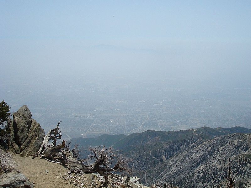
We forged on towards the summit, occasionally loosing the trail because of all the snow. Eventually, we reached the ridge west of the summit. It was beautiful country with a few short but thick trees and minimal underbrush. With the summit in sight, we made the final push to the top where we were rewarded with some great views of the inland empire, almost 8000 feet below us. We were both happy with our accomplishment, and it was especially satisfying for Matthew, who had been looking forward to that moment for quite some time. We spent about an hour on top of the peak, eating lunch and taking in the views. The hike down was scenic and uneventful, and we made it back to the car by about 3:30. Cucamonga Peak and the surrounding area are very nice, and I was amazed that such great scenery could be found so close to such a densely populated area. It had been a great day. I very enjoyed the experience, and sharing it with a good friend.
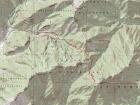
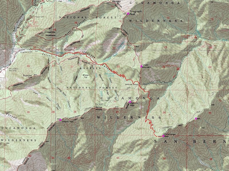
Overview map of the Icehouse Canyon route, about 12 miles and just over 4000' elevation gain.
|

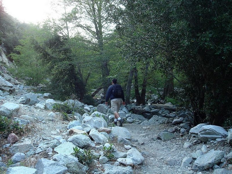
Matthew early in the hike.
|
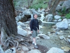
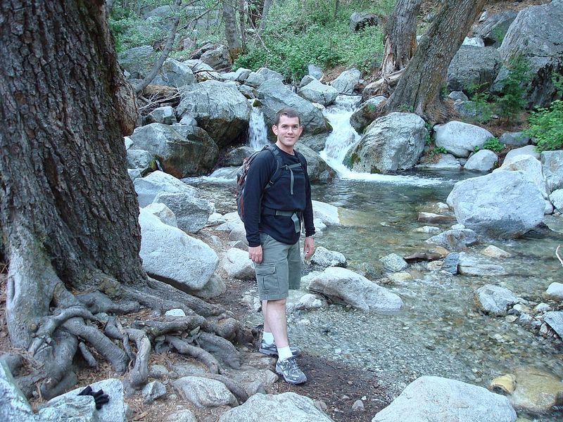
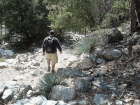
Dave next to the creek.
|
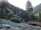
Looking up towards Icehouse saddle.
|
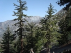
A view of Mount Baldy.
|
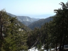
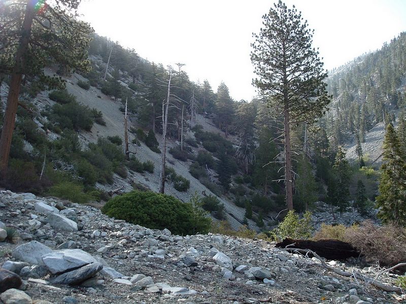
Icehouse Canyon from the trail.
|
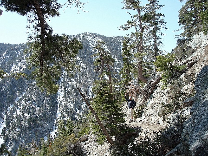
Matthew on the trail after Icehouse Saddle, Cucamonga Peak behind him.
|
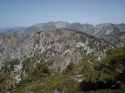
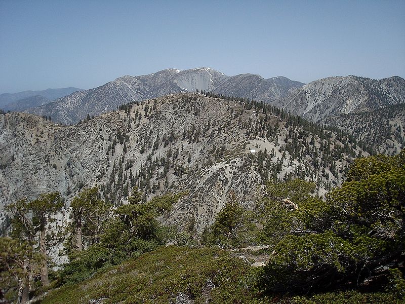
Another shot of Mount Baldy, with Bighorn Peak below in the foreground.
|

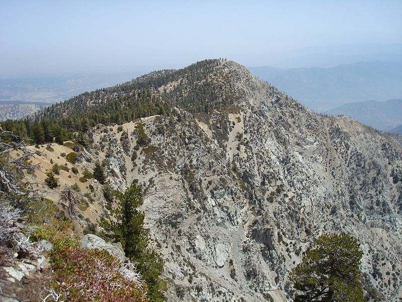
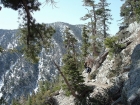
Etiwanda Peak (to the northeast) from Cucamonga Peak.
|
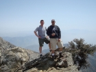
Hero shot on the summit of Cucamonga Peak.
|

Looking down on Ontario CA and the sprawling Inland Empire, about 8000' below us.
|
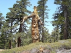
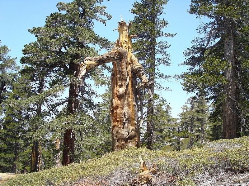
A gnarly old tree near the summit.
|
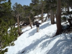
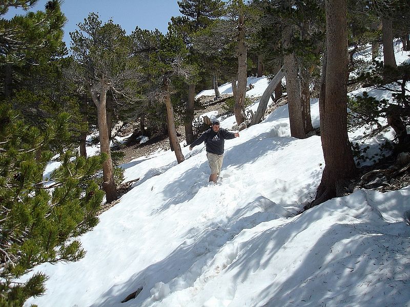
Matthew plowing through one of the many snowfields we crossed.
|
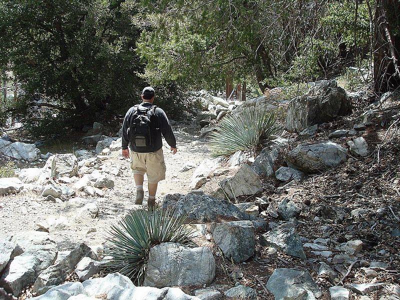
Passing some Yucca plants on the way back to the trailhead.
|
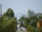
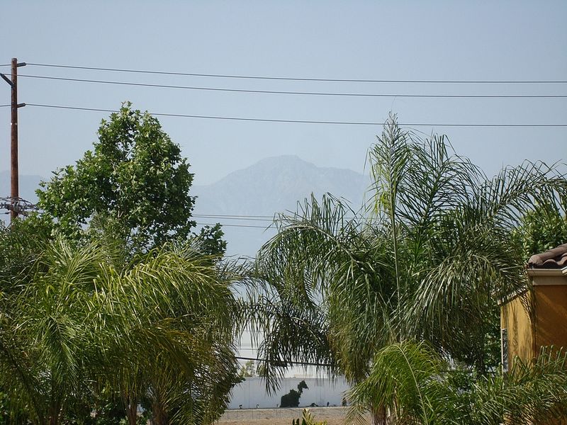
Cucamonga Peak from Matthew's apartment. Mission accomplished.
|
|