|
Kepros Mountain is located in the Danskin Mountains of southwest Idaho, which are a subrange of the Boise Mountains. Kepros is a great springtime destination to get out and stretch your legs on a fairly mellow hike. Kepros is climbed fairly often since it is one of the “Grand Slam Peaks” found near Boise. (The others are Heinen, Cervidae, and Lucky Peak.)
I had some major cabin fever, and took advantage of some slow time at work to take a day off. I ended up hiking out to Kepros in spite of a not so great weather forecast. After a quick 30-minute drive to the Blacks Creek trailhead (unmarked), I hit the trail in the fog. The trail was steep at first, but leveled out quite a bit once I got to the ridge. Visibility was pretty minimal, and I had to backtrack a couple times to get back to the right trail, which eventually met up with a jeep trail that leads to Kepros. Fortunately the fog lifted and I had some good views of the surrounding mountains. The route follows the road for the most part, but I was able to shave of some ups/downs by using side trails that skirt around the edges of various knobs along the way. The summit itself was anticlimactic, but did offer up some good views in all directions.
On the way back I spotted a couple different groups of deer along the way. I’d been making good time and decide to also climb Three Point Mountain since I was so close. On the way up Three Point, the clouds opened up on me and let loose with some pretty strong hail. Fortunately it died out before I got to the highpoint on the southernmost summit. From there I headed cross-country to the northeast back to the car. It felt good to get out and do some hiking, in spite of the weather. I suspect this would be a great hike in May when the hillsides have greened up and the wildflowers are in bloom.
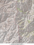
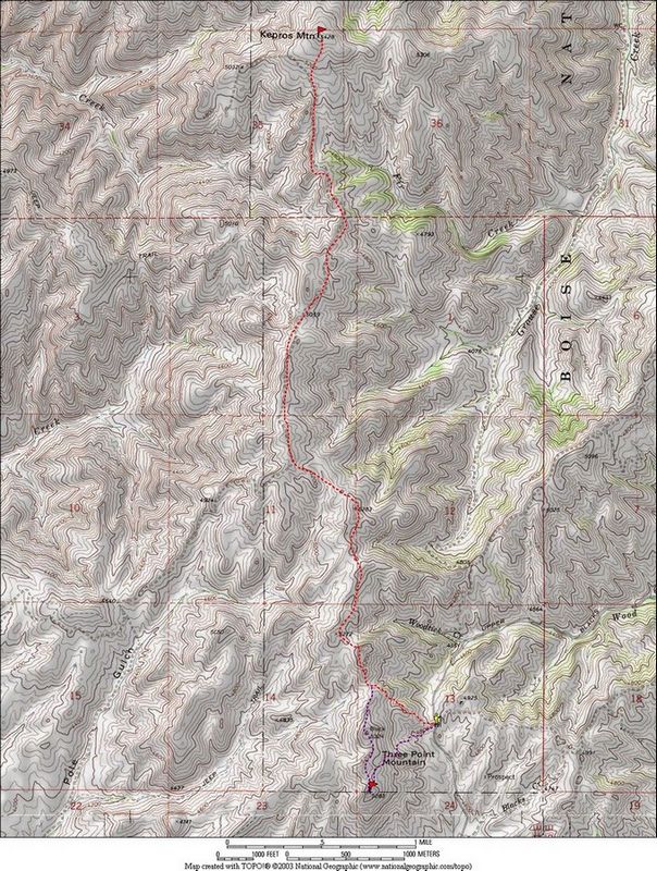
Map of the route, about 12 miles round trip.
|
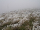
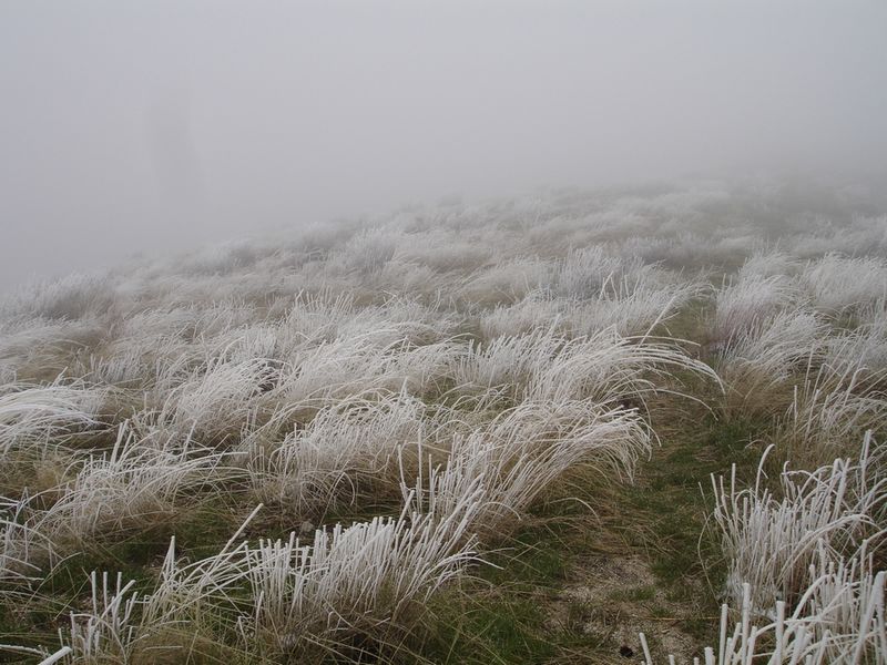
Frozen grass on the ridge just north of Three Point Mountain.
|
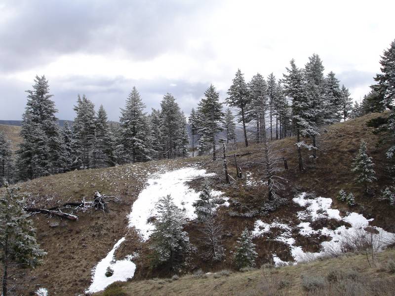
Some woods I passed through along the way, thanks to a side trail.
|
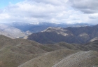
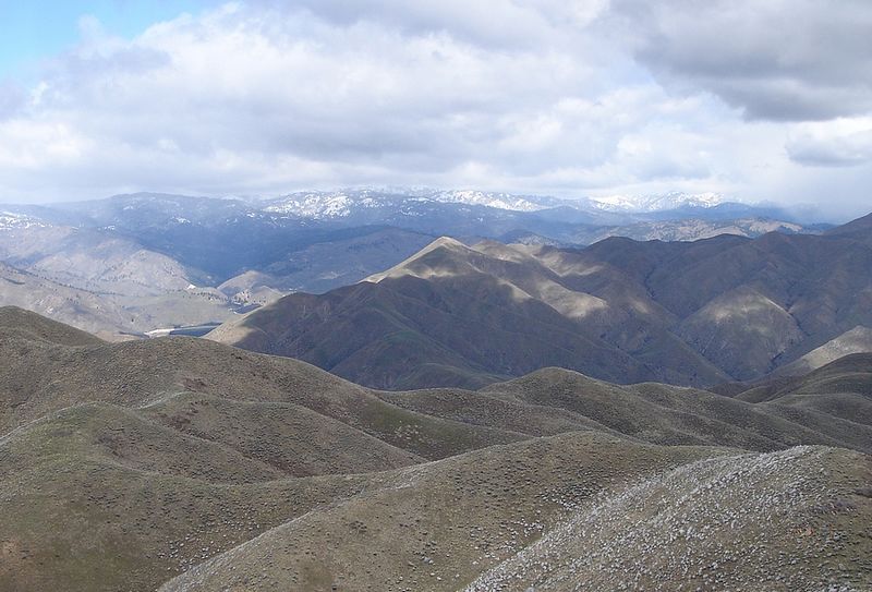
Cervidae Peak in the foreground, Schaffer Butte behind. Taken from the summit of Kepros.
|
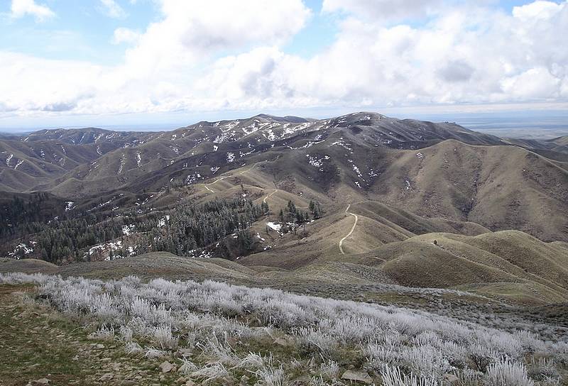
The view back along the ridge to Three Point from the summit of Kepros.
|
Kepros Mountain and some of the very few trees encountered along the way.
|
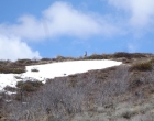
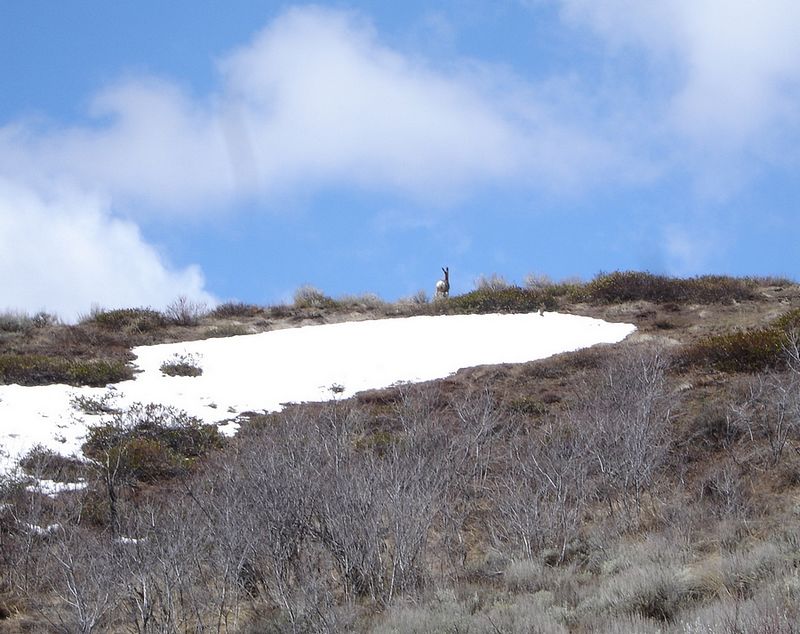
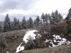
A deer crossing through some lingering April snow on my way back.
|

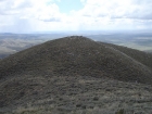
Looking back at the summit of Kepros.
|
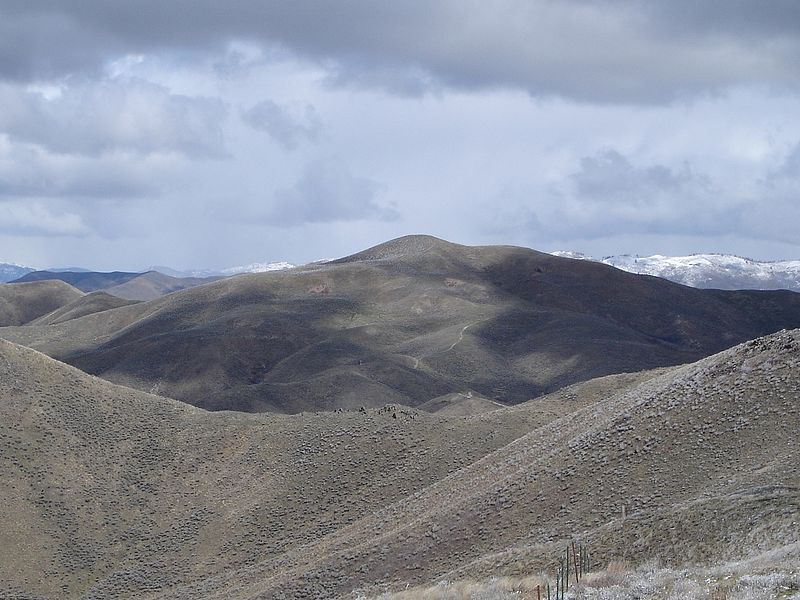
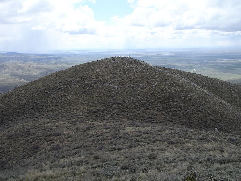
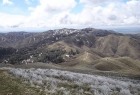
Another view of Kepros.
|
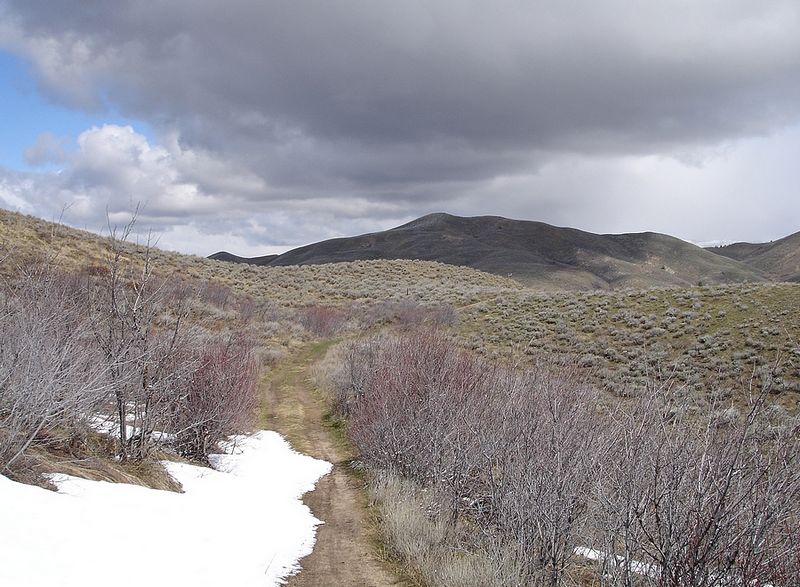
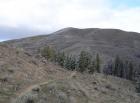
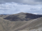
Three Point Mountain as seen from the north.
|
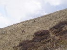
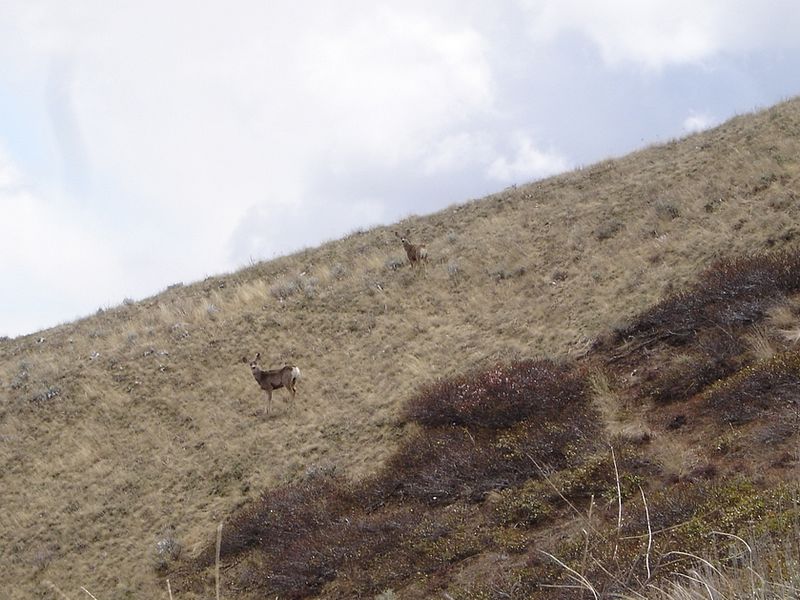
A couple deer on the north side of Three Point's north point.
|
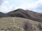
The southernmost point on Three Point Mountain.
|
|
 |
IdahoAlpineZone is unofficially sponsored by Skippy Peanut Butter.