|
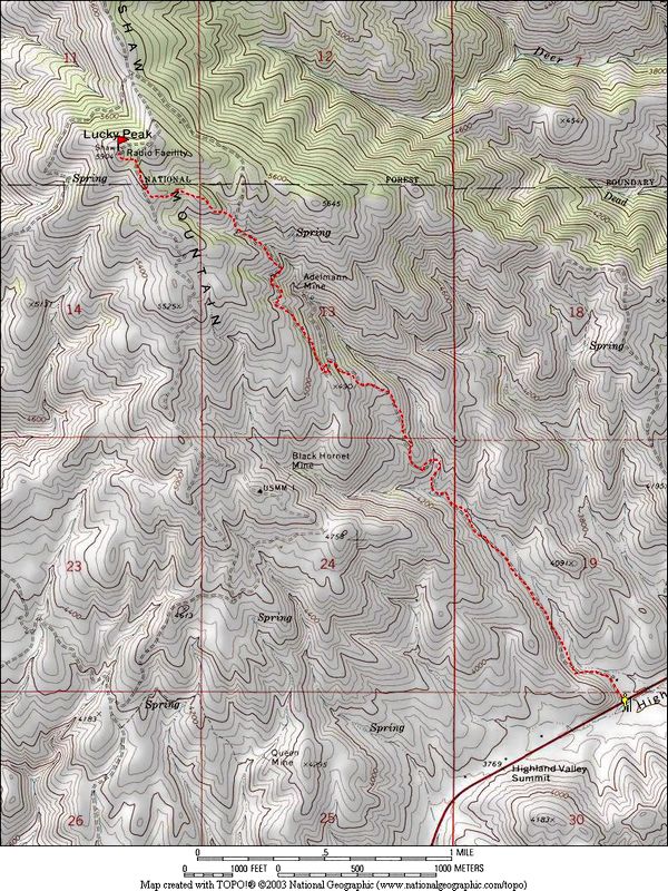
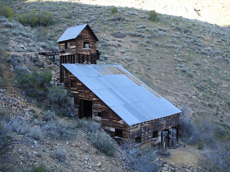
Lucky Peak, also called Shaw Mountain, is located very close to Boise and is a popular destination for hikers, runners, and mountain bikers. There are numerous route options, but I chose a north-side approach since I prefer the “woodsy” feel. The start of the hike is the Fish and Game office on highway 21, just north of highland valley summit. From there, there is an old road that climbs past the old Adelmann Mine area on the way to the summit.
I bailed out of work a little early to take advantage of this nice spring afternoon and made it to the trailhead by around 5pm. The road leading up past the mine area is closed to motorized traffic, so it’s pretty trail-like. I followed the road for about 3 miles, and then went up a neat looking draw above the mine area to get off the beaten path. Soon I met up with the Highland Valley road and followed it to the summit. There’s a communication tower on top and the views down into the valley are pretty cool.
On the way back down, I decided to circle around to the west through some trees then cross-country through some brush to get back to the Adelmann road. I jogged most of the way down and was back to the car by around 8pm.
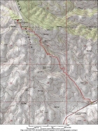
Map of the route, about 9 miles round trip and 2300' gain.
|
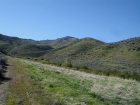
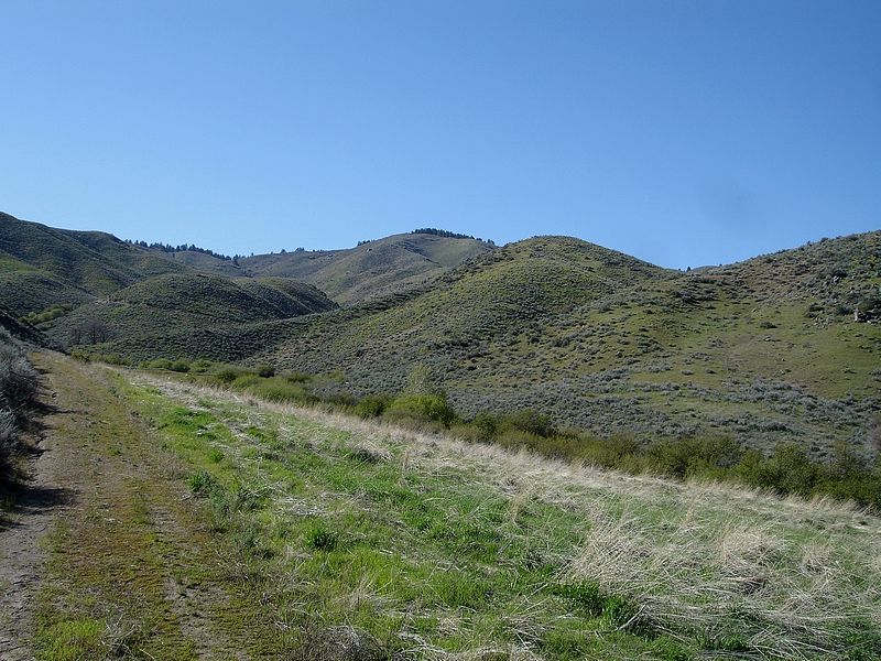
A view of the north side of Lucky Peak, not far from the start of the hike.
|
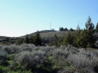
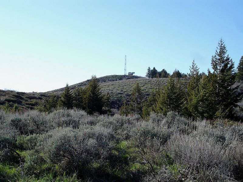
Lucky Peak's summit area.
|
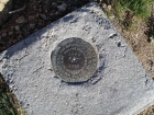
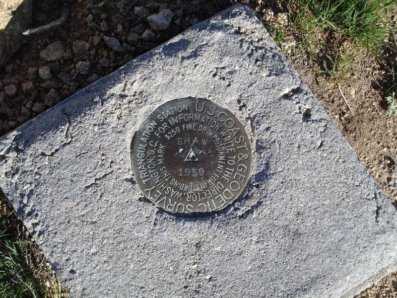
The summit benchmark from 1959.
|

The main Adelmann Mine building.
|
|
 |
IdahoAlpineZone is unofficially sponsored by Skippy Peanut Butter.