|
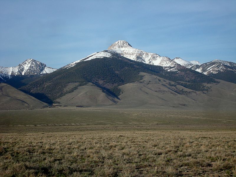
Bell Mountain is located in the Lemhi Mountains of eastern Idaho. It’s the second highest peak in the Lemhi’s behind Diamond Peak, and is just as easy to spot from the highway since it sticks up off the crest like a giant bell. Some peaks are very attractive from certain angles, but not as attractive from others. Not so of Bell, which is an eye catcher when viewed from any angle.
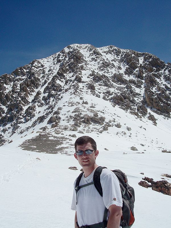
Michael and I left Boise at 3pm Saturday afternoon, and met up with Brandon in Howe for the caravan up the Little Lost River valley. George, John, and Pat had driven in on Friday to do another climb on Saturday, and by 8pm we had made it to their camp at the head of Basinger Canyon. The six of us were to going to climb Bell on Sunday, but the others had a bigger day than expected climbing Big Creek and Flatiron on Saturday, so they opted out of “the big one” and decided to sleep in. Michael, Brandon, and I piled in the truck at 6am and were able to drive up the road almost 2 miles before parking. To me, it was surprisingly light when we hit the trial at 6:30, and we probably could have started an hour earlier with the eastern Idaho sunrise time.
We headed southeast up the timbered slopes, and made decent time since there was minimal underbrush and not too much snow down low. Our hope was to avoid snow for as long as possible since there were record high temps forecasted, and we didn’t want to be post-holing all day long. We lucked out and were able to climb a partially wind blown sub-ridge for quite a while before reaching the snow. The route ended up putting us on Bell’s west ridge just east of Pt 10201’. The snow up high was surprisingly firm up high thanks to some recent thaw/freeze cycles and we made our way along the ridge with just a couple obstacles. The first was a block on the ridge that we side-hilled around to the south, then another steep section where we put on the crampons, and climbed some snow just north of some cliffs.
 Bell’s summit block was in view most of the way along the ridge, and the closer we got the more optimistic we became about finding a way up. From the base of the face, we began climbing some pretty steep snow (maybe 5-10 degrees steeper than the Super Gully), but had no difficulties. A few hundred feet below the summit, we had a decision to make. We could either traverse out into one of the gullies on the face, or climb the snow/rock rib on the left side of the face. The gully made us nervous since it was getting quite a bit of sun by this point, and we could see evidence of wet slide avalanches from the day before. Michael suggested staying in the rock since it seemed pretty stable. I went up the first section that was pretty tricky. The holds were solid, but it was steep and the crampons made it challenging. The others weren’t as comfortable in the mixed conditions, and opted to stop at that point. I decided to continue up the ridge since I was past the crux, and ended up making it to the summit about 15 minutes later at just before 11:30. Bell’s summit block was in view most of the way along the ridge, and the closer we got the more optimistic we became about finding a way up. From the base of the face, we began climbing some pretty steep snow (maybe 5-10 degrees steeper than the Super Gully), but had no difficulties. A few hundred feet below the summit, we had a decision to make. We could either traverse out into one of the gullies on the face, or climb the snow/rock rib on the left side of the face. The gully made us nervous since it was getting quite a bit of sun by this point, and we could see evidence of wet slide avalanches from the day before. Michael suggested staying in the rock since it seemed pretty stable. I went up the first section that was pretty tricky. The holds were solid, but it was steep and the crampons made it challenging. The others weren’t as comfortable in the mixed conditions, and opted to stop at that point. I decided to continue up the ridge since I was past the crux, and ended up making it to the summit about 15 minutes later at just before 11:30.
The summit views were great, but I only stayed long enough to sign the register and head down before the snow got any softer. The down-climb was a little un-nerving in places. I wanted to detour around the crux, which forced me onto some very steep snow. I took it slow, facing the mountain with my axe plunged deep into the snow as I toe kicked one step at a time. Eventually I made it back to Brandon and Michael at the base of the face, and we high tailed it down the ridge to get past the two tricky spots before conditions got worse. Fortunately for us, we didn’t have any issues along the way. The post-holing was minimal on the way down, so we made good time in getting back to the truck by 3:30. It was a gorgeous day in the mountains. The scenery was great, the company was great, and the only big bummer was that only one of us made the summit. I doubt we would have had problems if not for the super high temperatures this weekend, and I have a strong feeling that those guys will be back to climb Bell again in the no so distant future.

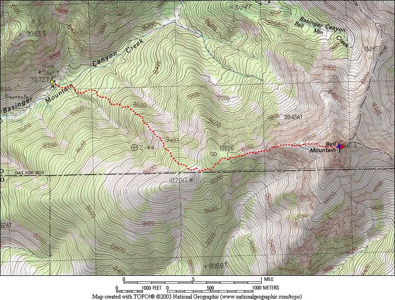
Map of our route, 6 miles round trip with 4000' gain.
|
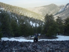
Bell Mountain from the Little Lost River Valley.
|
Climbing the lower slopes early on.
|
Some of the first snow we encountered.
|

Michael crossing some rocks on our way to the west ridge.
|

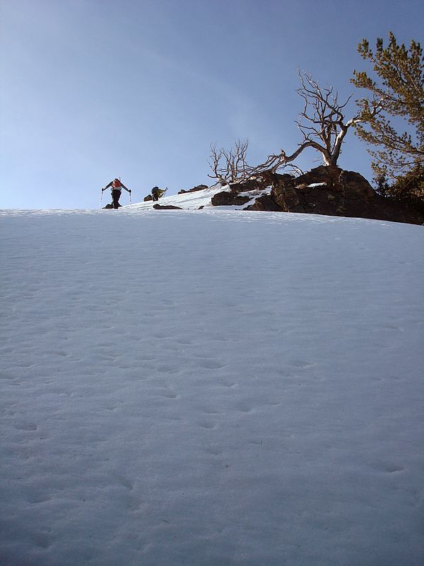
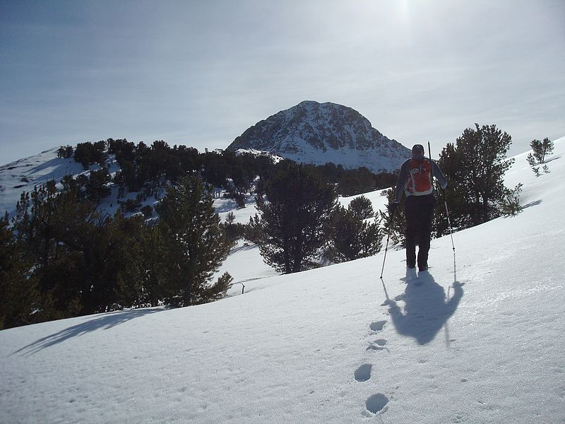
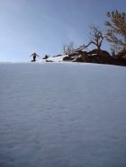
Brandon heading towards the saddle.
|
Brandon checking out the view of Borah in the background.
|
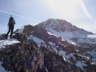
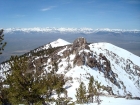
Michael on the west ridge with Bell's summit block in view.
|
Michael and some rock outcroppings on the west ridge.
|

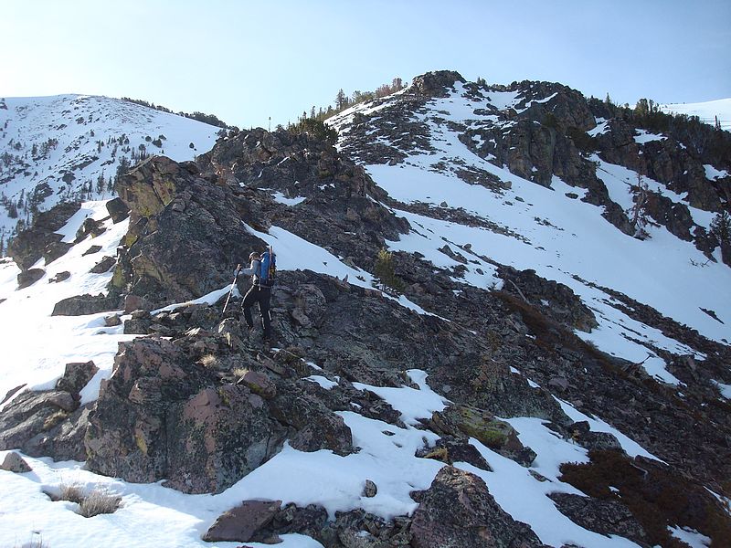
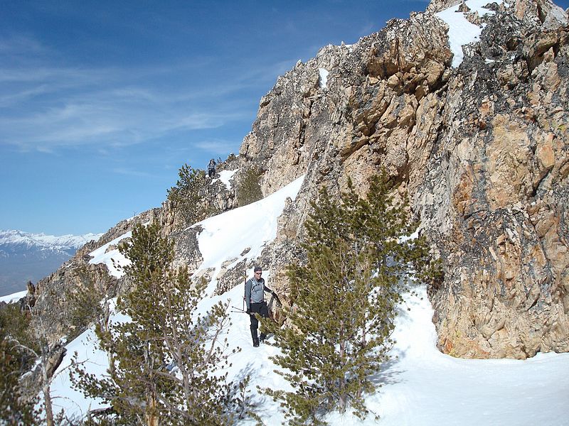
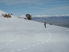
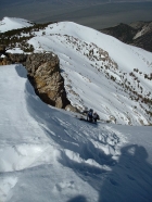
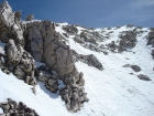
Side-hilling around the first obstacle on the west ridge.
|
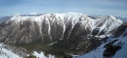
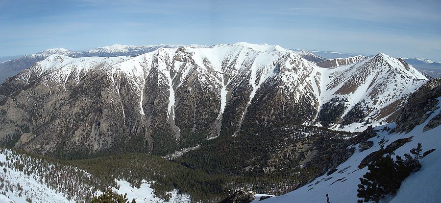
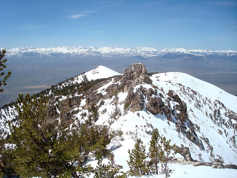
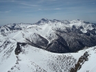
The view north into the upper portion of Basinger Canyon. The three peaks that make up this impressive crest are "Medusa" (10533'), "The Knoll" (10490') and "Umpleby Peak" (10713').
|
Snow climbing past the second obstacle on the ridge.
|
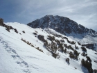
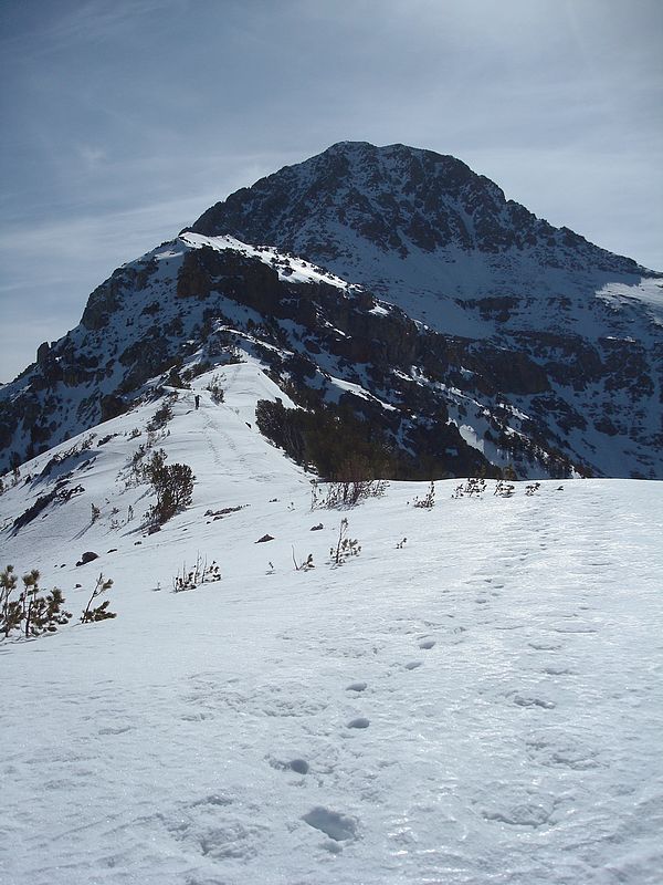
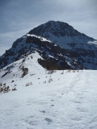
Looking up towards the summit block.
|
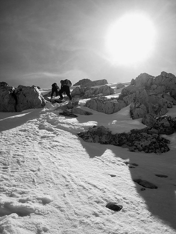
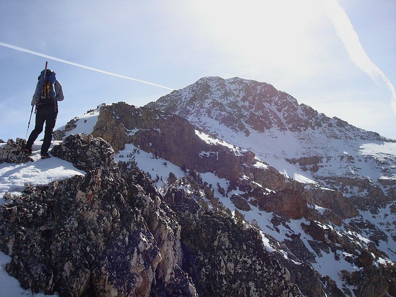
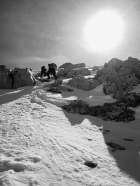
Michael and Brandon doing some steep climbing at the base of the summit block.
|
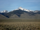
A view of Diamond Peak from the summit of Bell Mountain.
|
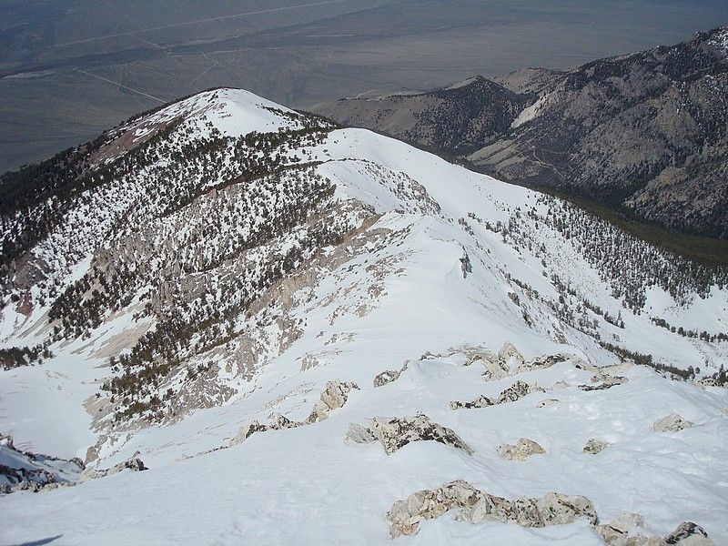
Looking back down the west ridge from the summit.
|
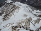
One of the west face gullies from the left most rib.
|
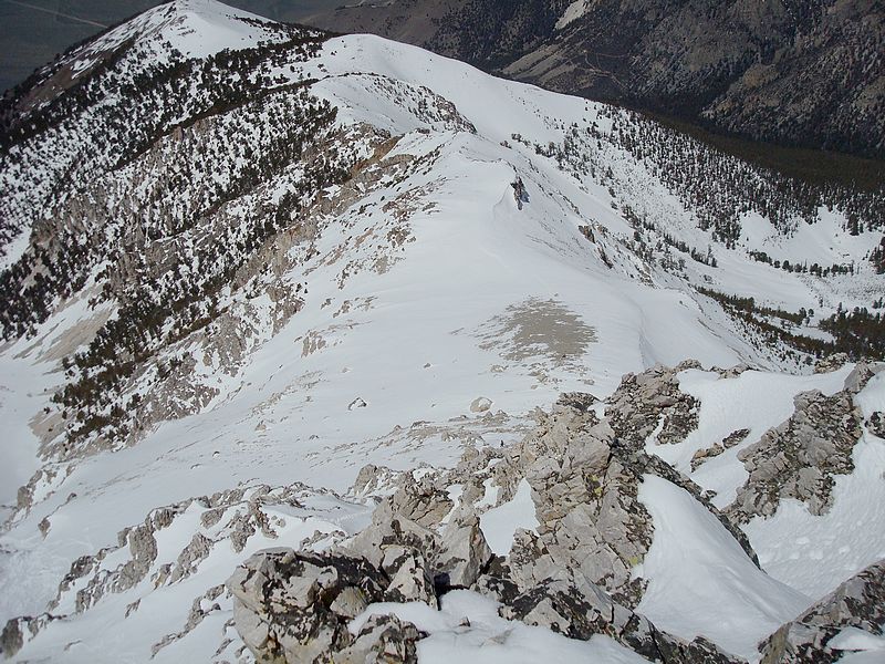
Another view down the ridge during the descent.
|

Dave at the base of the summit block.
|
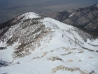
The east side of the Lost River Range from the west ridge.
|
|