|
Kelly Mountain is located in central Idaho’s Smoky Mountains, just east of Hailey. It’s the southernmost peak in the range and has great views of other surrounding mountains. The trailhead is located on Croy Creek Road at Red Elephant Gulch. The road is plowed is kept open year round to the trailhead, so Kelly is reachable in winter when conditions are safe. Splattski and I snuck out on a Thursday and made it to the trailhead by 8am. John had been eyeing the map and came up with a nice loop option, all we’d need was good snow conditions and it would be doable.
From the trailhead, we went about a hundred yards on the snowmobile trail, and then started climbing the south ridge of the peak. The snow was nice and firm, and we made great time for the first 1400’ walking on top of the crust. At Point 7099’ we started breaking through and put on our snowshoes. The weather was good, and we were feeling great. We even saw a herd of about 20 elk up in front of us. The south ridge was relentless though. No obstacles and not overly steep, just long… The four miles and 3100’ of gain to the summit ended up taking almost 3 hours. But the summit views were fantastic, with great views of the Pioneers, Boulders, Smokies, Soldiers, and the Camas Prairie to the south.
After a snack break on the summit (our only real pause of the day) we decided to go for the loop option to get back to the trailhead. It seemed like full-on winter while on the northeast ridge of the peak, instead of mid April. There were lots of good-sized cornices and quite a bit of powder in places. It was a very pretty setting, even though our pace wasn’t exactly lightning fast because of all the ups and downs. After an hour and a half on the ridge, we began the descent down towards Peak 7536’. It was nice to have some easy downhill catch my breath after trying to keep up with John all day, but that was over soon as we make the 400’ climb up to the top of Peak 7536’. We didn’t stay there long, and forged on ahead down the ridge after checking out the views of the day’s route. The snow was patchy, so John opted to stay in snowshoes while I went without. This worked for a while, but I eventually gave in and put them on after we reached the road that descended out of Red Elephant Gulch.
After seven and a half hours, we finally got back to the car. I was pretty tired (11 miles on snowshoes and 4500’ of gain has that effect on me), but we were happy with the day. John had come up with a great route, the weather held, and views were plentiful.
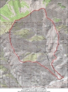
Overview map of our route, we went clockwise. Over 11 miles and nearly 4500' total elevation gain.
|
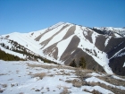
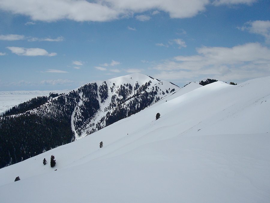
Kelly Mountain from the southeast, taken from Pt 7099'.
|
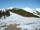
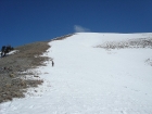
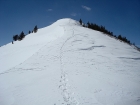
John turning the corner on the south ridge. We put on our snowshoes shortly after this.
|
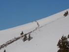
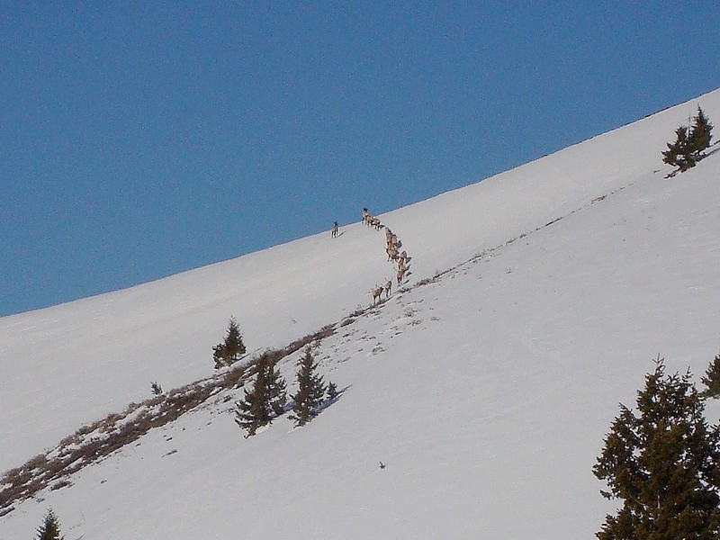
Close-up of a herd of elk who were breaking trail for us.
|

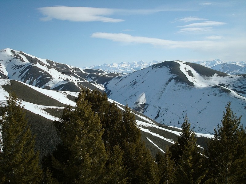
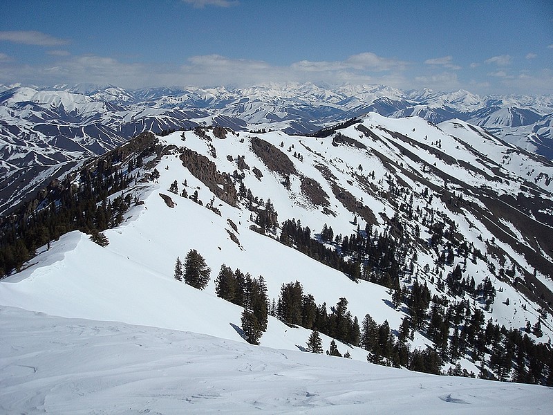
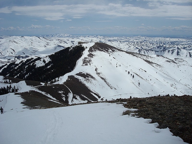
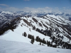
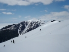
Pioneers Mountains in the distance, looking across Peak 7536' and Red Elephant Gulch.
|
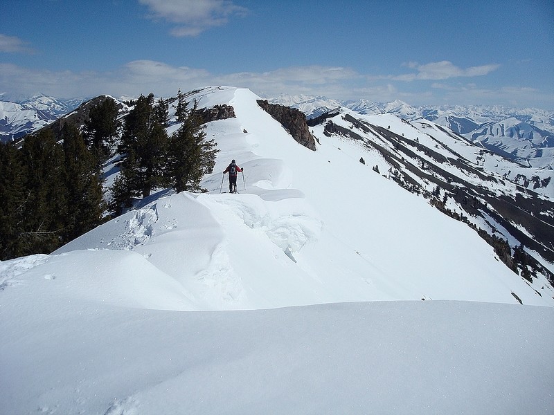
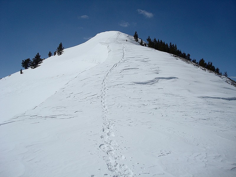
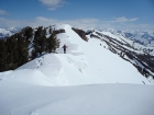
John on the final stretch to the summit.
|
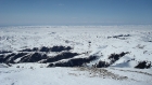
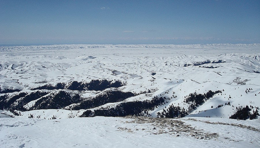
The Camas Prairie southwest from the summit, still covered in snow.
|
A view of the northeast ridge of Kelly Mountain.
|
John crossing over some good sized cornices on the northeast ridge.
|
Looking back up at our descent route.
|

Kelly Mountain as seen from one of the bumps on the northeast ridge.
|
Another shot of Kelly Mountain just before leaving the ridge.
|
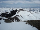
Looking down on Peak 7536', our last obstacle.
|

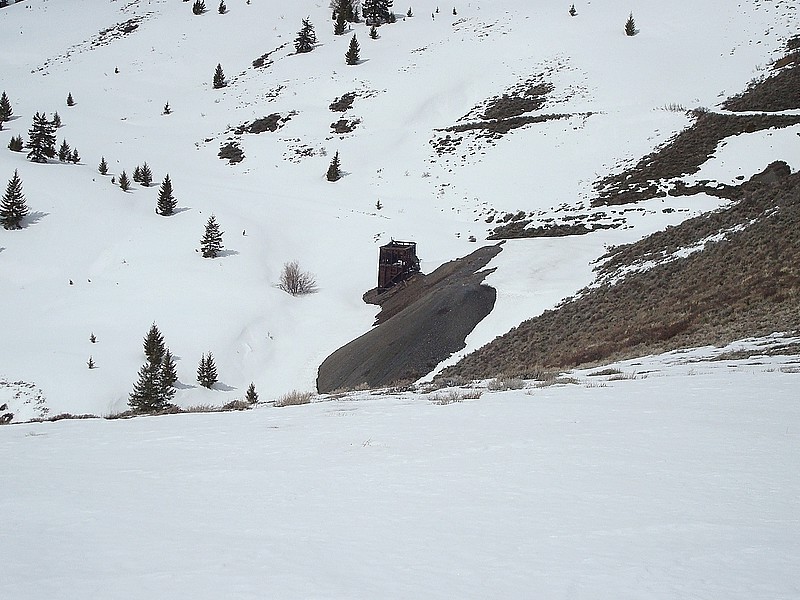
The remains of a mine building.
|
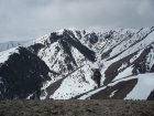
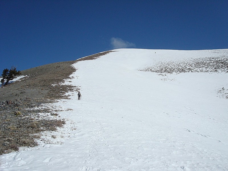
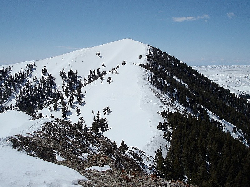
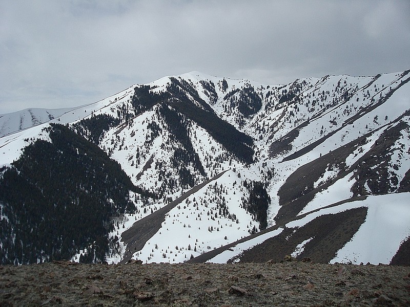
Kelly Mountain from Peak 7536'.
|
|