|
Council Mountain is located in the West Mountains of central Idaho. The West Mountains form the divide between the Weiser River Valley (Council, Cambridge, etc) and Long Valley (McCall, Donnelly, Cascade, etc). Council Mountain is on the west side of the range, and is one of the more impressive peaks in the group. It can be approached from a number of different directions. Today we chose to drive to Donnelly, then over No Business Saddle to the northeast side of the peak.
John and Julie kindly agreed to an early start so that I could be home in time for some honey do's. We were on the trail before 8am, and it was already t-shirt weather. The access road was gated to motorized traffic about a mile from our planned trailhead. This made the hike a little longer, but the hiking was pleasant since the road hadn't been driven on for several years. About a mile into the hike, we spotted a "trail" sign that lead us off the road and up the hillside. The forest was fairly think down low, but the trail was well maintained and easy to follow, even as it crossed old logging roads in a couple places. Higher up, we started getting above tree line along the ridge north of Granite Basin. From here, we had great views of Council Mountain and the impressive north face of "Granite Basin Peak" (Peak 7859'). There were an abundance of wildflowers along the way, and Julie and I stopped often to check them out while John waited mostly patiently.
Once we got north of the peak, we elected to stay trail that followed the ridge instead of dropping down into Granite Basin. This worked out well, and we were rewarded with great views to the west of the Seven Devils and the Wallowas. Soon enough, we crossed over Point 7923', which had the remains of an old lookout, and then descended to the saddle northwest of Council Mountain. The trail continued on and we followed it until we were due west of the summit before heading cross-country up to the highpoint. The views from the summit were excellent and we took an extended lunch to take in the scenery. The snow hadn't been gone long, and the surrounding mountains were covered with greenery and wildflowers. I might still be sitting there if not for those honey do's waiting back at home.
Next, we descended the northeast ridge down a couple of easy class 3 sections. Julie waited at the saddle while John and I make a quick side-trip over to "Granite Basin Peak" that we'd be eyeing earlier. On the way back we spotted a couple deer in the basin to the south, and some recent bear scat and tracks in the snow just below the ridge. Wildlife is definitely abundant in the area. We saw even more game tracks in the trail on the way out as we hiked along the path that circles the head of Granite Basin and leads back up to the ridge. We had taken a leisurely pace up to this point with all the wildflower inspection, but we were running a little behind schedule and went a bit faster on the hike back to the car.
Wildflowers were a theme for the day, and I think we saw more variety on this outing than possibly any other hike I've ever taken. Flowers we were able to identify included: Indian Paintbrush, Trillium, Phlox, Larkspur, Arrowleaf Balsamroot, Lupine, Sticky Geranium, Dogtooth Violet (Avalanche Lilly), Scarlet Gilia, Forget-me-not, Mountain Peone, Shooting Star, Blue Bell, Penstomen, Water Leaf, Wild Onion, Buttercups, Firespikes, We finished the day thoroughly impressed with the area and rewarded ourselves with ice cream bars in Donnelly. It was a great hike in a new area. Highly recommended for anyone looking for a good hiking trail with some great views.
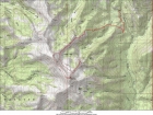
Map of our route, 13 miles round trip.
|
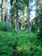
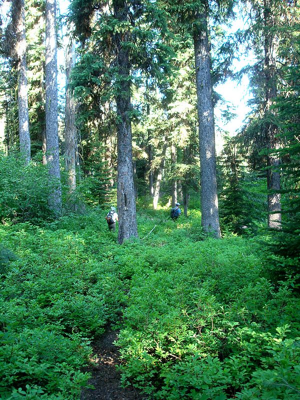
The trail winding through trees early on.
|
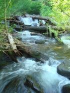
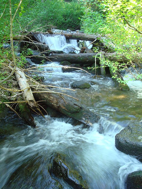
Looking up Granite Creek.
|
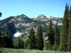
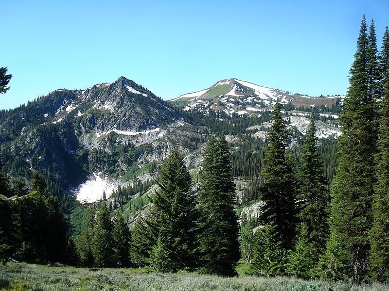
One of the first unobstructed views of Council Mountain.
|
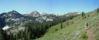
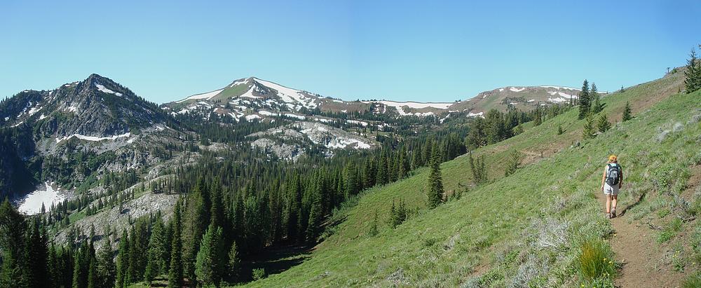
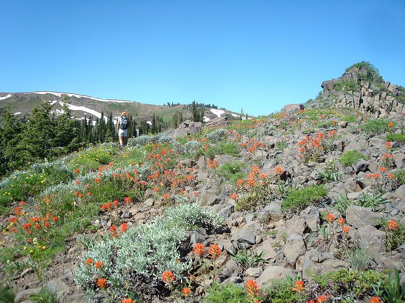
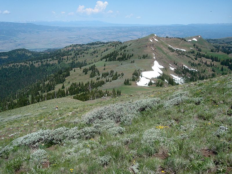
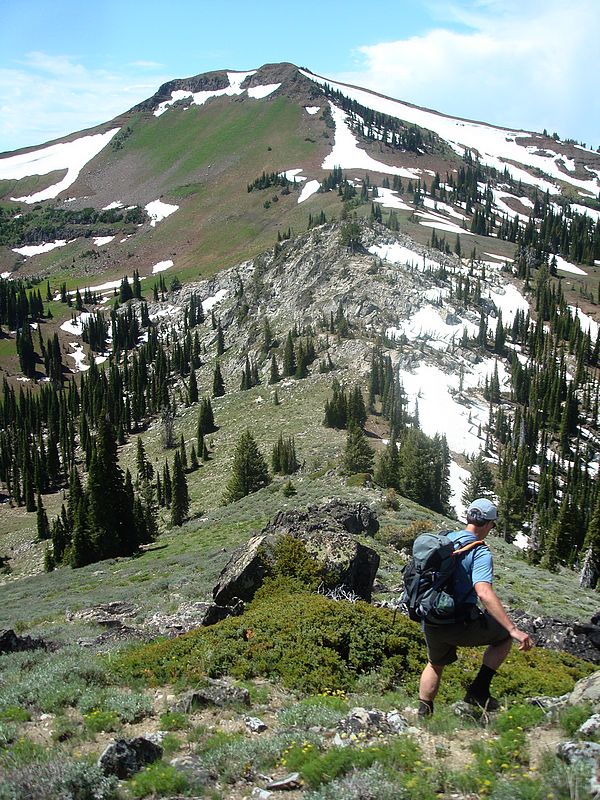
Wide angle shot of the trail, Council Mountain, and Granite Basin.
|

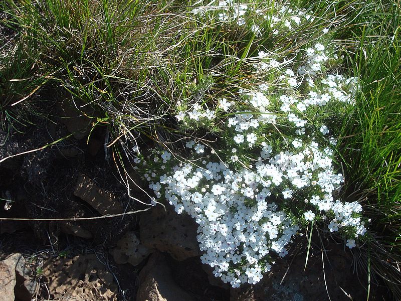
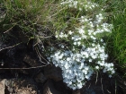
Wildflowers along the trail.
|
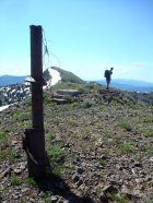
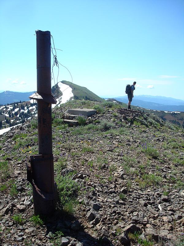
John standing on the old lookout foundation on Pt 7923'.
|
View along the northwest ridge towards Council Mountain.
|
Phlox growing beside the trail.
|
Julie nearing the summit of Council Mountain.
|
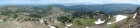
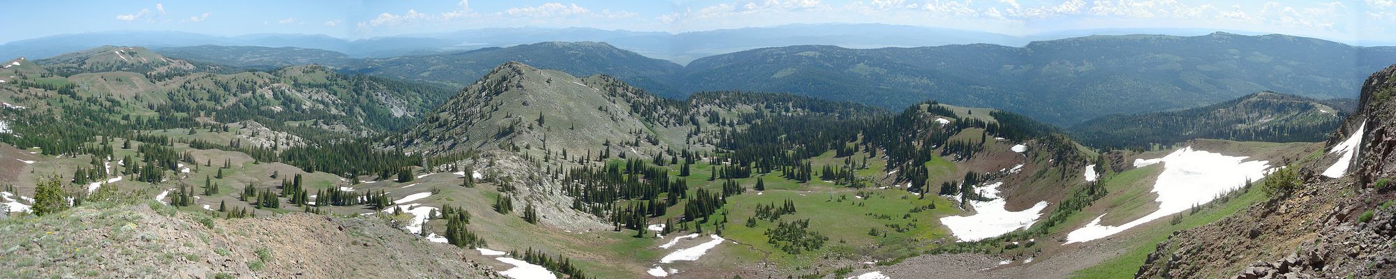
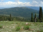
Council Mountain summit view spanning from north to east.
|
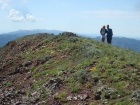
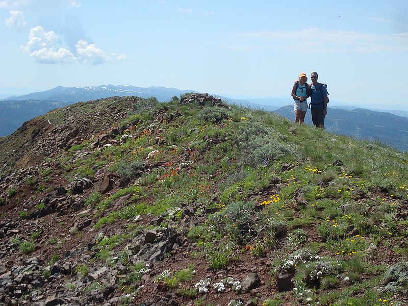
Julie and John on the summit.
|
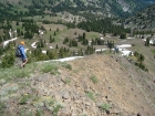
Beginning our descent down the northeast ridge.
|
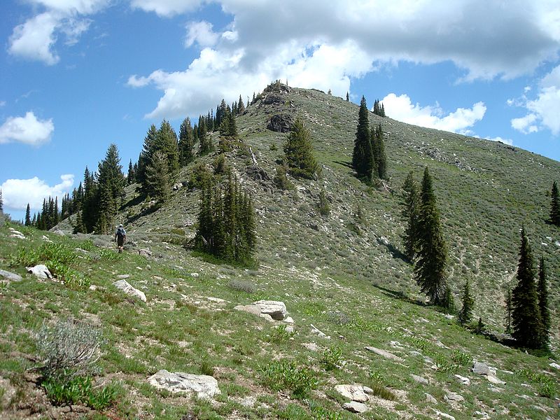
John climbing towards "Granite Basin Peak".
|

John leaving "Granite Basin Peak" with Council Mountain in the background.
|
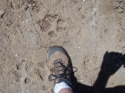
Tracks in the mud in Granite Basin, you decide what they are…
|
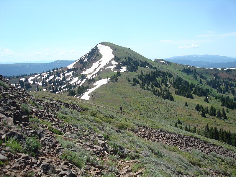
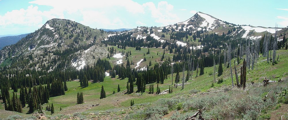
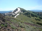
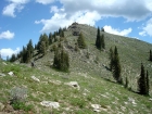
"Granite Basin Peak" and Council Mountain from the north.
|

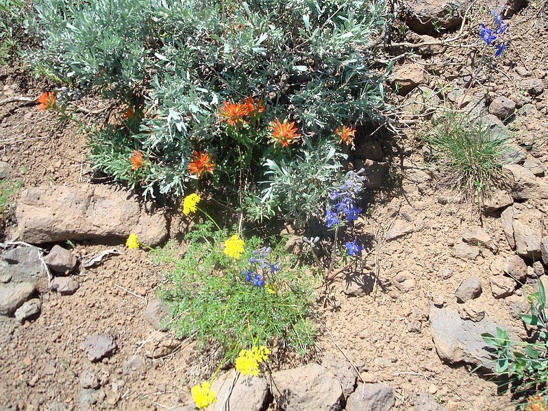
Wildflowers next to the trail (Paintbrush, Larkspur, and ?).
|
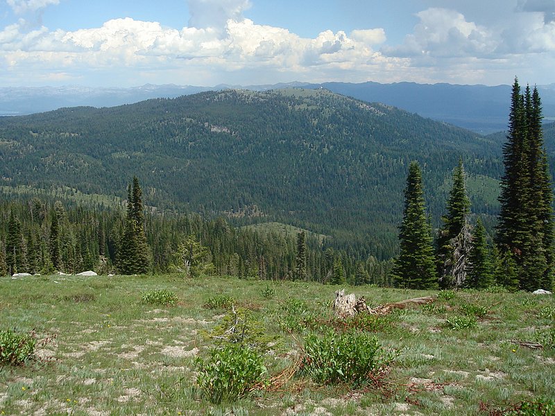
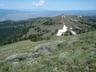
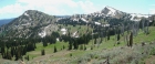
A view of No Business Mountain, with the Lick Creek Range in the background.
|
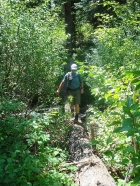
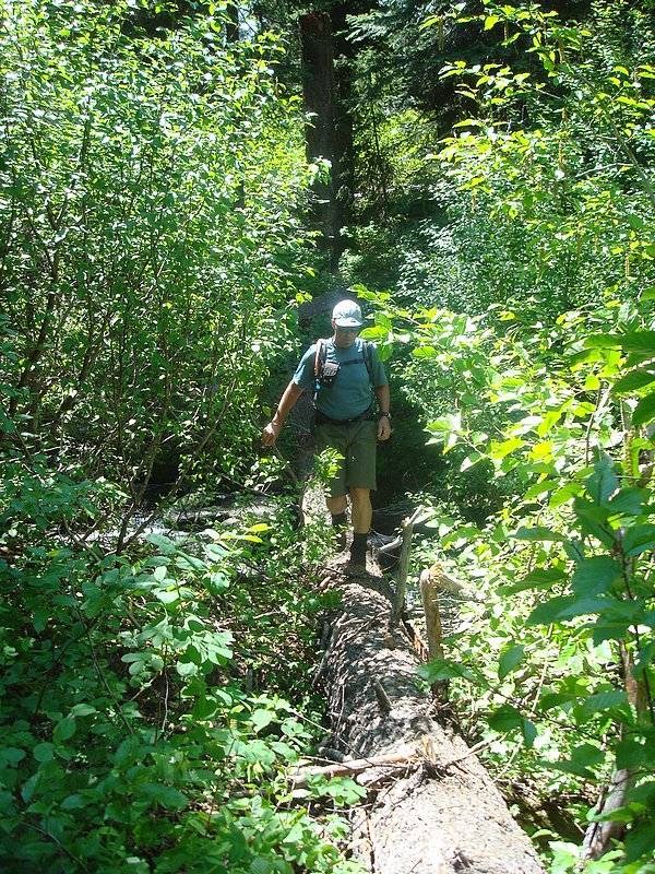
John crossing Granite Creek on our way back out.
|
|