|
Pollock Mountain is technically part of the Seven Devils, but is located far to the south of the main summits. The surrounding terrain more closely resembles the section of Salmon River Mountains on the other side of highway 95 to the east. My family and I were having a weekend getaway to the Johnson Cabin in New Meadows, and I was looking around in Google Earth and SummitPost for a nearby peak to climb. Pollock Mountain looked just about right.
I hopped to get back to the cabin by around 10am for some quality time with the family, so I got up early and was on my way by 6am. When I reached the lower trailhead on Smokey Boulder Road, it was still pretty dark and I didn't have a light, so I opted to drive on up to the upper trailhead at Chokecherry Flat. This probably didn't save me any travel time since the last portion of the road is rough and slow going, but at least it was light when I got the to parking spot.
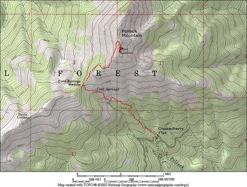
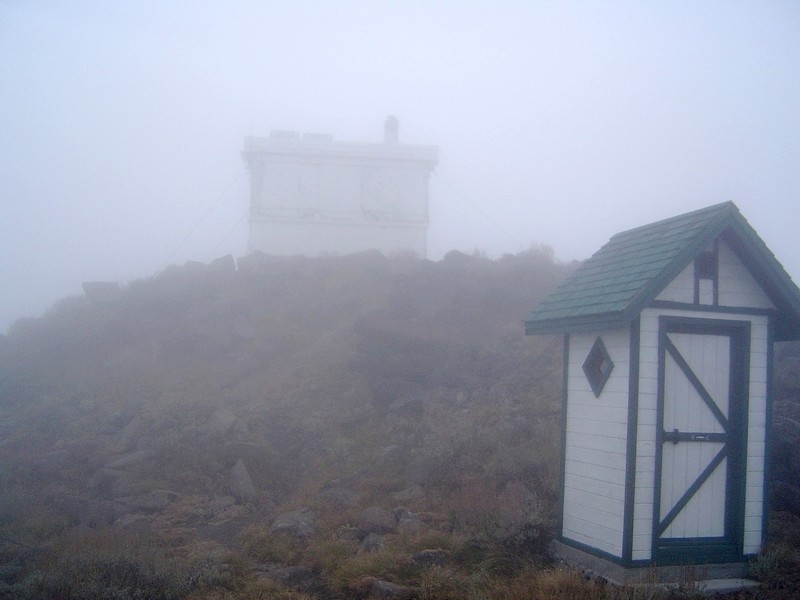
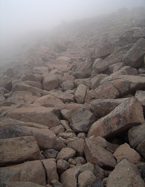
From the trailhead, the trail was easy to follow with the first mile winding through old growth forest and some of the larger fir trees I've seen. The next mile to Cold Springs saddle was more open with sunrise views of the New Meadows Valley and Granite Peak to the East. I scared up a grouse and a couple deer in this area. The trail is somewhat less distinct in the last stretch from the saddle to the summit, but still very easy to follow. Fog started setting in at around 7500' as the trail made its way through some neat Basalt boulders on the way to the top. The summit itself was anti-climactic since the lookout was closed for the year and fog limited visibility to around 50'. Still a nice hike though. I'd left Chokecherry Flat at just after 7 am, and make it to the summit by around 8:15. Poked around up there for 15 minutes then made a brisk 45 minute jaunt back to the truck.
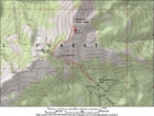
Overview map of the route.
|

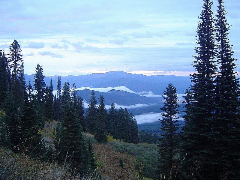
Just before sunrise, view towards Granite Mountain.
|
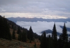
Another sunrise shot, this one taken from Cold Springs. That fog would join me at the summit.
|
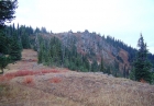
Looking up the ridge to the northeast of Cold Springs Saddle.
|
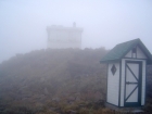
A foggy view of the summit buildings.
|
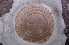
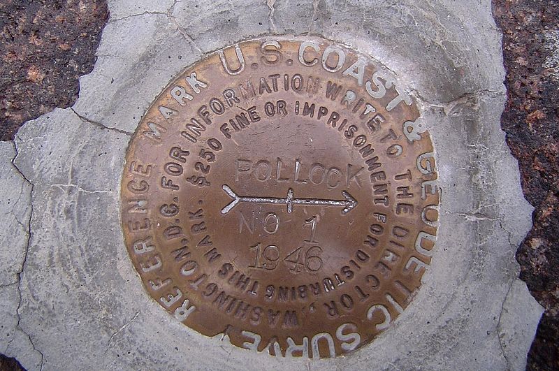
Summit benchmark dated 1958.
|
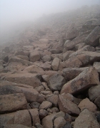
A look at the basalt portion of the trail.
|
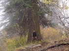
Me standing in front of a large fir tree next to the trail.
|
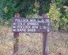
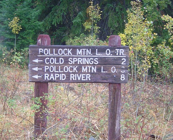
Sign at the Chokecherry Flat trailhead.
|
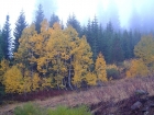
Fall colors near the trailhead.
|
|
 |
IdahoAlpineZone is unofficially sponsored by Skippy Peanut Butter.