|
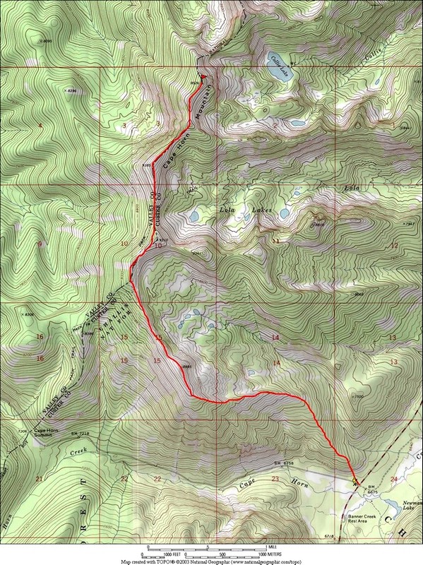
Cape Horn Mountain is located near the southeastern edge of the Salmon River Mountains, not far from the northern Sawtooths. It has over 2500 feet of prominence (which puts it in Idaho’s top 50). What that means to me is that it has pretty commanding views. There are a couple different trail options for reaching the summit during summer, but our plan was for a long snowshoe ridge walk following a route that Splattski came up with.
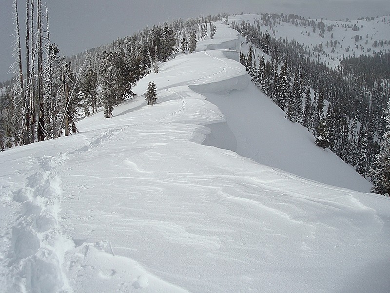
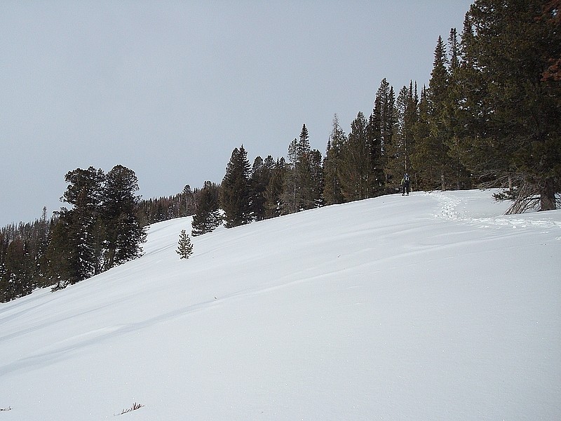
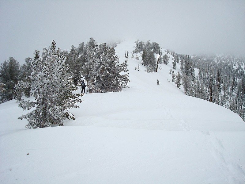
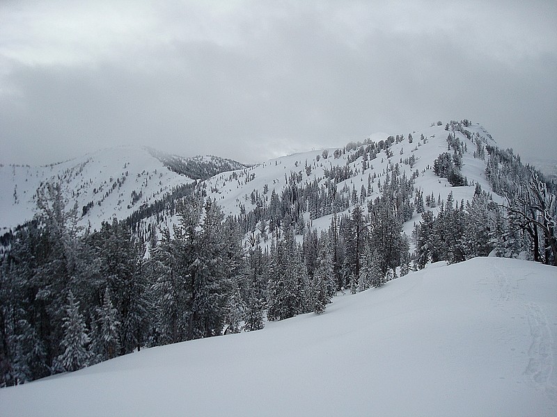
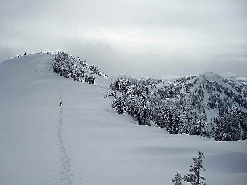
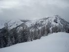
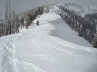
John and I hit the trail at around 8:15am from the snowmobile parking lot north of Banner Summit. The beginning of the climb was a good workout on some fairly steep slopes, but fortunately there was only 6-9 inches of powder to lessen the effort. Soon enough we happened upon some partially covered ski tracks. Woo Hoo! This sped our progress quite a bit, but it still took us about 3 hours to reach point 8995’, on the shoulder of the ridge. From here it was a series of ups and downs along the route to the summit, with three more sizeable points to cross before we got there. There were lots of cool looking cornices along the way, but a view of the summit was elusive due to cloud cover.
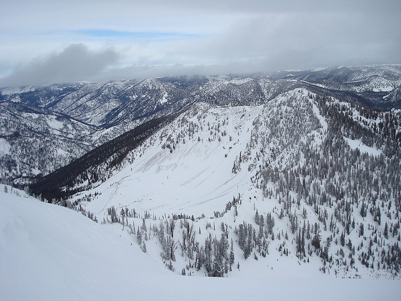
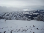
We got to what we thought was the summit after 2 more hours and found a tall cairn, but the next bump on the ridge seemed little taller, so we wandered on a litter farther to the actual highpoint. The clouds had thinned quite a bit by this point, so we had good views of Bear Valley to the west, the Frank Church Wilderness to the North, with the Stanley Valley to the east with the White Clouds in the background. We stayed for a little while but not too long since we still had some work ahead of us to get across all the points on the ridge before getting back to the car.
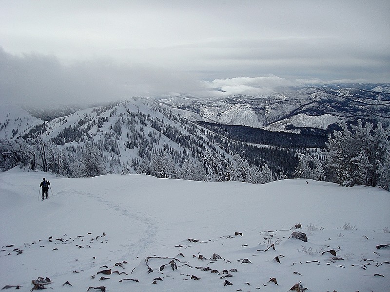
The hike out definitely tapped our energy levels, but we were kept entertained by the views and checking out the various snow formations along the way. We made good time though, especially after passing the “its all downhill from here” point, and made it back to the car with a time of 8 hours total. Overall, just under 11 miles and 3500’ of total elevation gain round trip. Not too shabby.
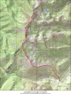
Map of our route. |

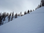
John making his way up the lower slopes. |

Heading up the ridge into the fog. |
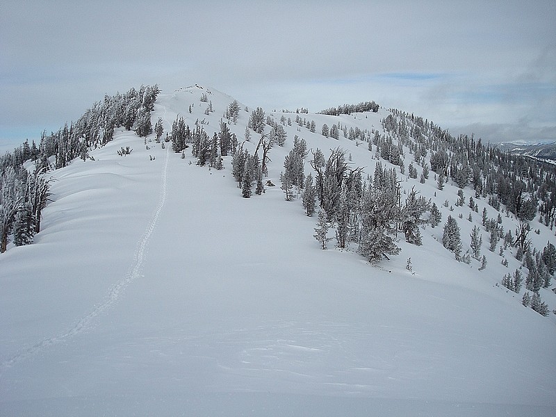
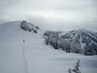
Looking back on our route, only a couple more false summits to go. |

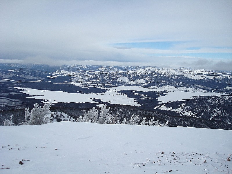
The view north from the summit, into the Frank Church Wilderness. |
John leaving the summit, with Bull Trout Point off to the right, just behind the clouds. |

Bear Valley from near the summit. |
Lots of ups and downs ahead of us on the return trip. |
Looking back up at the summit from the last saddle. |
These were some of the more impressive cornices on the ridge. |
John heading down from the ridge. |

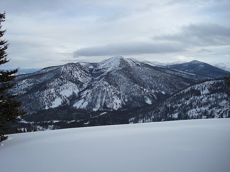
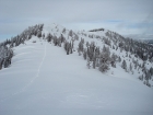
A good view of Copper Mountain during our descent. |
|