|
Mount Harrison is located in the Albion Range, just south of Burley and right next to the Pomerelle ski area. There’s a paved road to the summit for checking out the views during fair weather months, but in winter it’s a fairly easy snowshoe hike. After a three-hour drive from Boise, Matt and I made it to the Pomerelle parking lot just before 10am. The lot attendant was confused that we were choosing to snowshoe today. “Why aren’t you going to ski Pomerelle?” he said in disbelief. But off we went in spite of him.
It was pretty foggy, but navigation was made easy by the various road-signs that made the snowbound road hard to miss. The grade was gentle, and we made good time down low. Higher up we had to break trail a bit when the snowmobile tracks we’d been following headed down to Lake Cleveland. This slowed our pace a bit, and we elected to stop for a lunch break before making the final summit push. At about 8900’, the road disappeared under snowdrifts, so we headed up into the fog. With the wind howling and fog cutting down visibility to about 30 feet, it felt like we were out in the arctic or something.
We reached the summit at about 2pm, with the wind howling. We took a little time to explore the frozen lookout building, then started heading back down. The snow had blown over our tracks from the ascent, but we were able to follow a fence line back to the road. Soon, the fog began to clear and we were finally able to take in some views. We took a leisurely pace the rest of the way down, stopping often to watch snowmobilers climbing the nearby hillsides.
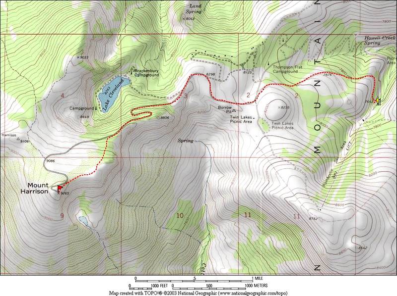
Map of our route. About 9 miles round trip and 1700' elevation gain.
|

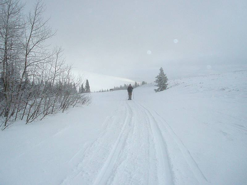
Matt snowshoeing early in the hike.
|
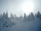
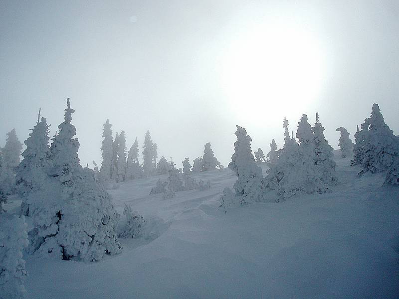
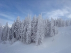
Snowy trees up on the ridge.
|
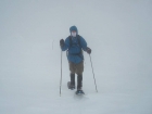
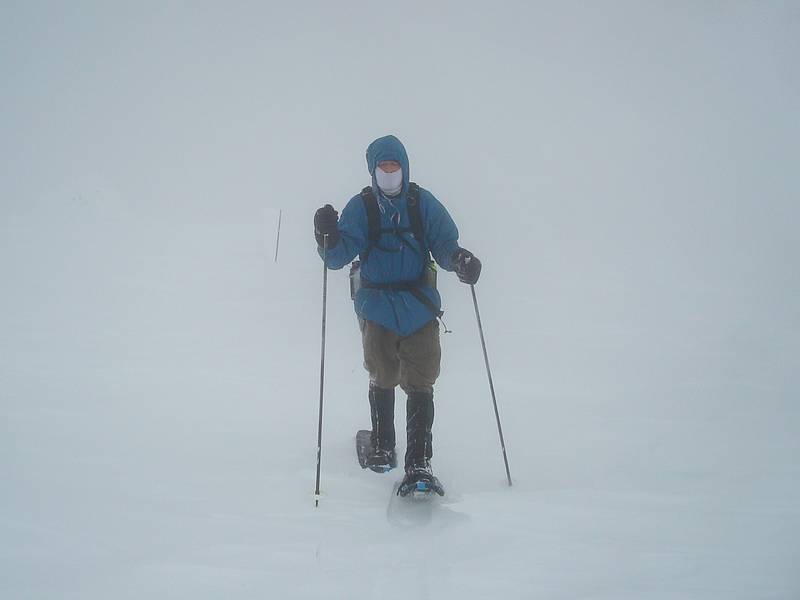
Nearing the summit in the fog and wind.
|
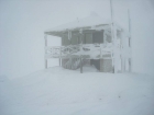
Frozen lookout building on the summit of Mount Harrison.
|
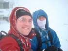
Summit photo of Dave and Matt, splattski style.
|
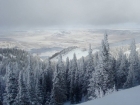
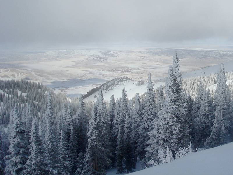
The fog began to clear a bit on the way down.
|
Finally some blue sky to end the day with.
|
|
 |
IdahoAlpineZone is unofficially sponsored by Skippy Peanut Butter.