|
Grape Mountain is located in the Boise Mountains of southwest Idaho. Late spring is probably the best time to visit thanks to an abundance of wildflowers. Later in the year may be too hot, and there is limited shade. There are a number of ways to get to the summit, including a soon to be overgrown road that winds its way to the top.
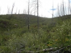
After a 90+ minute drive up the south fork of the Boise River, my wife and I hit the trail at about 2pm. It took me a while to get my bearings since the road (closed to motorized traffic) isn’t accurately reflected on the topo map. It was an unseasonably cool and breezy day, which was probably a good thing since most of the area had been burned in a forest fire back in the 90’s. Once on our way, it wasn’t long before we came across a bull elk that bounded down the hill to get away from us. The road headed southeast and away from the peak for about a mile or so before switching back to the west. It was easy going and we made pretty good time other than occasional stops to check out the Western Tanagers that were hanging out in nearly every patch of chokecherry bushes that the road passed through.
As we got higher up the road, the wildflowers become more and more abundant, with a bunch of different varieties in bloom. As we neared the saddle on the ridge, we saw some more elk and could also hear some bovine in the distance, and passed a dozen of them at around 5200’. Thankfully the area isn’t heavily grazed. Soon after, we opted to head up a gully cross-country since the summit appeared to be in site. Unfortunately, it ended up being a false summit, and we waded through some buck brush for a while before dropping back down to the road for our final hike up to the true summit. On the summit we found a repeater building, a register, and some pretty great views. We didn’t stay long since the wind was picking up, and then started wandering back down. A highlight on the way back was seeing a fox bounding through the grass. We made good time along the road, and then headed cross-country down a mostly open ridge to get back to the car. It was a good chance for me to give my wife some light bushwhacking training on the way down, before getting back to the car just after 5:30.
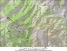
Map of our route. About 7 miles and 1600' elevation gain round trip. Ascent in red, descent in blue.
|
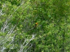
Close up of one of the numerous Western Tanagers we saw along the way.
|
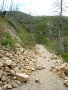
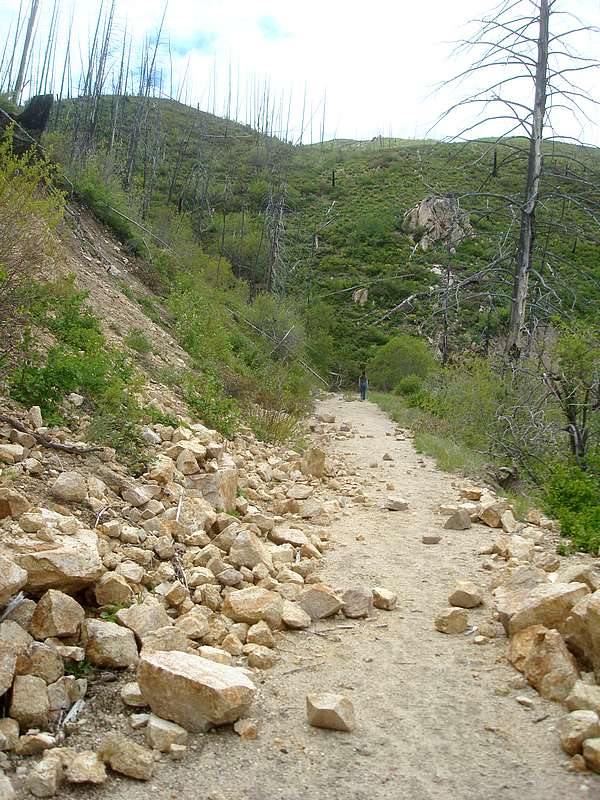
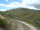
The road has been closed to motorized traffic for several years.
|
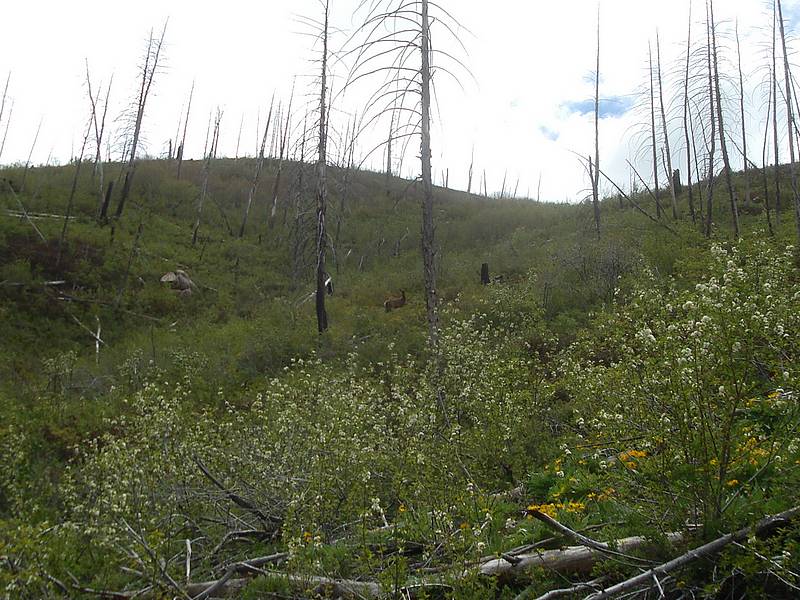
Elk not far above us.
|
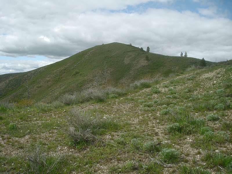
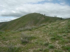
View of the southeastern false summit of Grape Mountain.
|
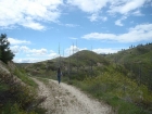
Hiking along the road, nearing the saddle.
|
Lots of wildflowers along the way.
|
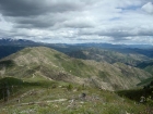
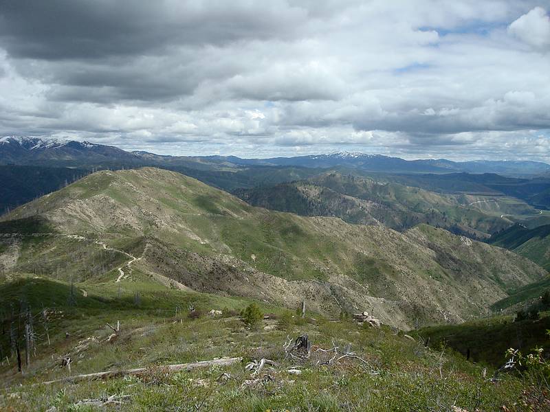
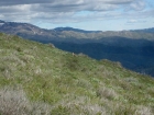
The view to the southeast.
|

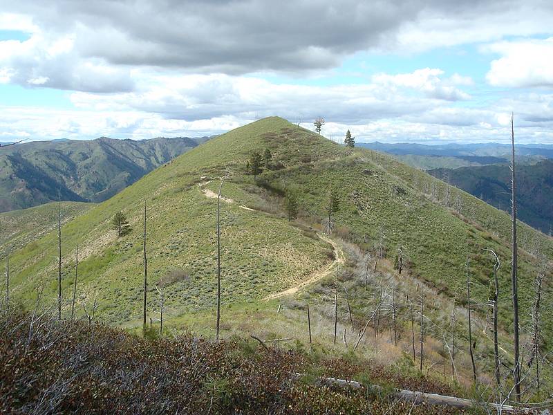
A look at the summit from the false summit.
|

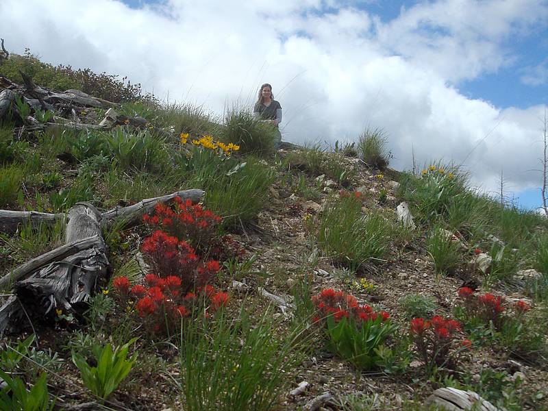
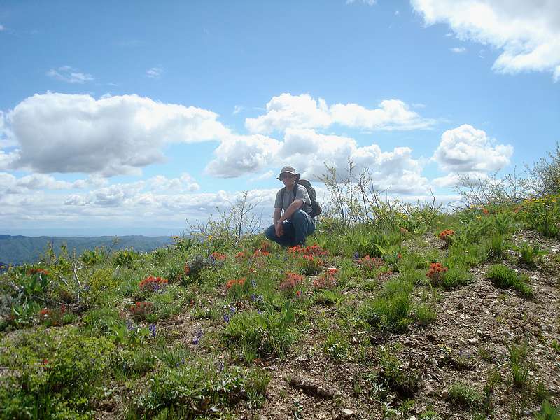
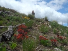
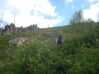
Me in the flowers.
|
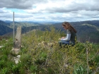
My wife checking out the summit register.
|
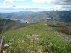
Communication building near the summit.
|
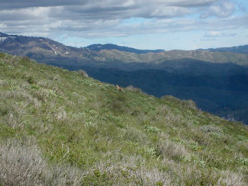
A fox doing the hipity-hop out in front of us.
|
Looking back up at the summit.
|
Teaching my wife how to bushwhack.
|
|