|
Big Creek Peak & Flatiron Mountain
The Lemhi Range in eastern Idaho has been described as the least well known significant mountain range in the lower 48 states. The northern section of the range is wild, rugged, remote, and is anchored by Big Creek Peak, which is the northernmost 11000-foot tall peak in Idaho, and its 11er neighbor Flatiron Mountain. Since the Lemhis are in the snow shadow of other ranges to the west, it can be a great option to get early season access to the high country.
A few of us had been discussing Big Creek Peak for a few years, and plans were finally set. We made the roughly 5-hour drive from Boise on Friday night, up through the Little Lost River Valley, and set up camp at Big Creek Campground. Alex and Steve arrived first, then me and John F, and finally Michael and Splattski. With rain in the forecast for Saturday afternoon, and hopes to get up the snow before it softened too much, we set a 5am alarm to get an early start.
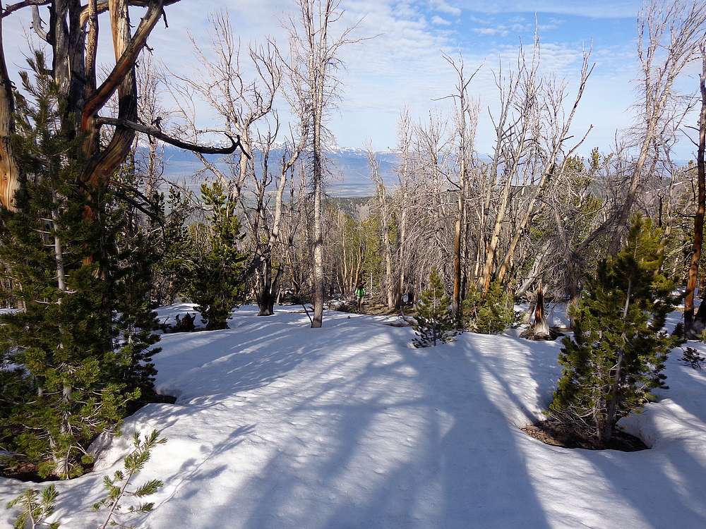
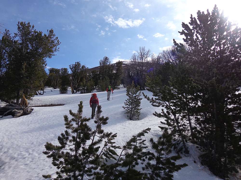
By 6am it was plenty light to hike without headlamps, and we made our way up the North Fork Big Creek Trail for about a mile, before hanging a right on the faint game trail described on Victor’s Summitpost page. The trail climbed steeply, but at least there was no bushwhacking on our way up to the low saddle north of Pt 7613’. From here, we headed northeast up the ridge. It was easy going, and not too steep, and we climbed steadily until hitting snow around 8700’. The snow was firm in some place, and unsupportive in others.
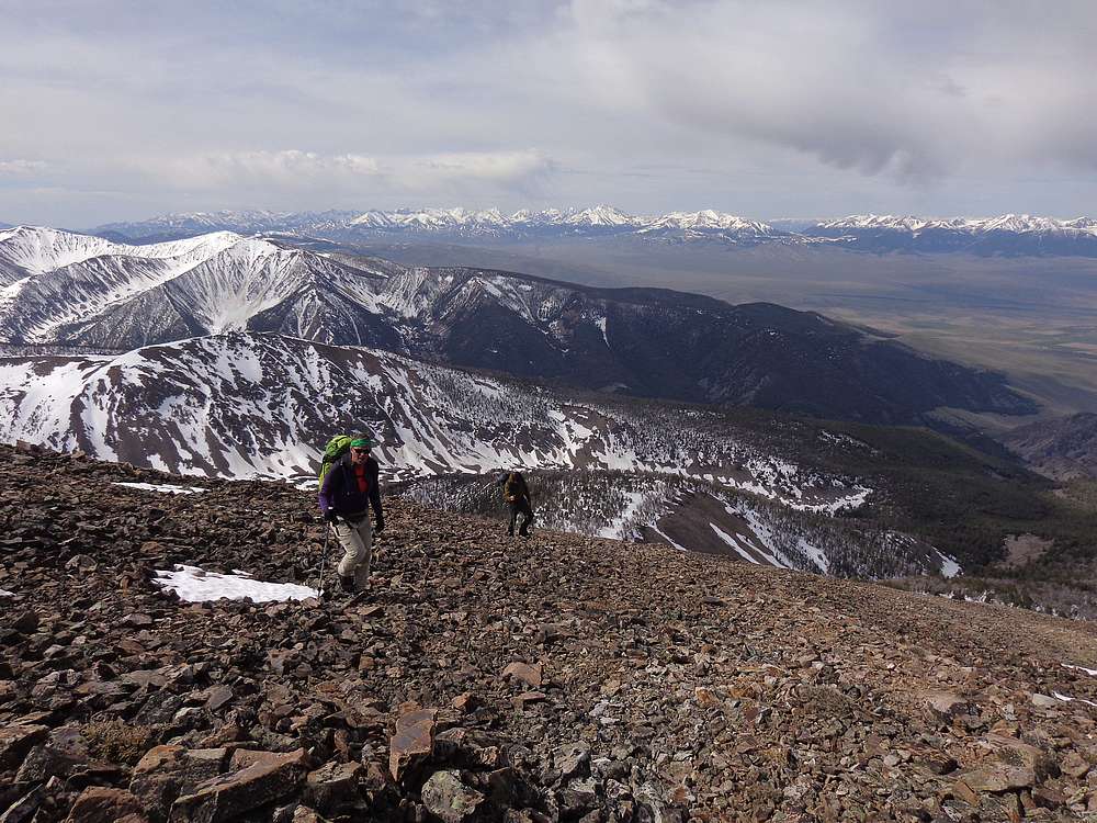
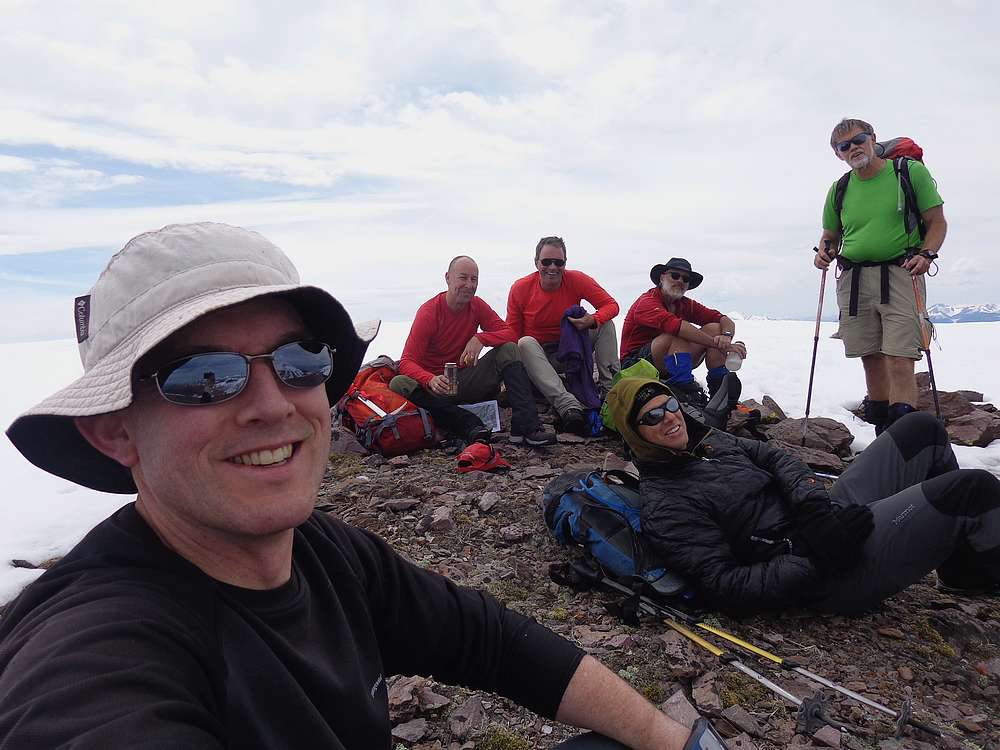
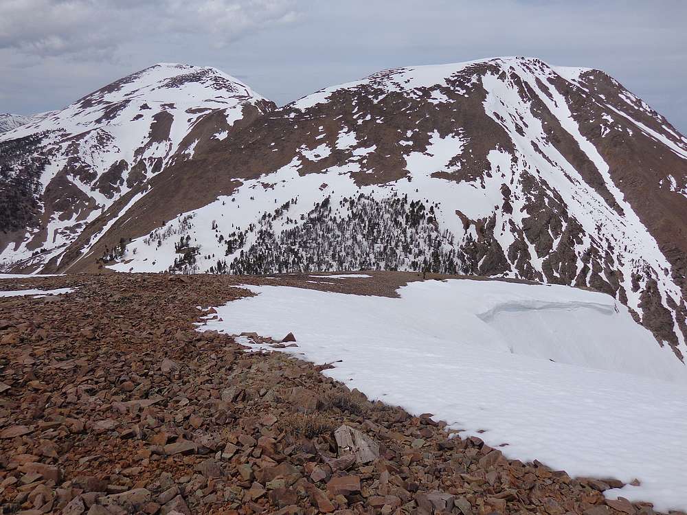
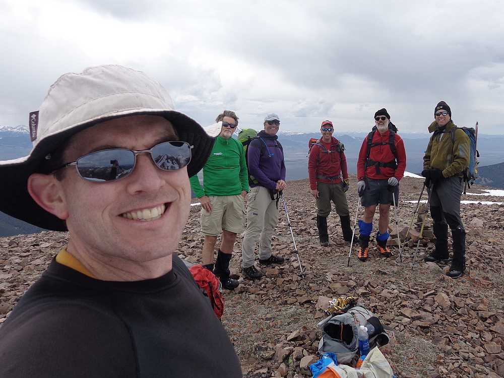
By the time we got above tree-line, the snow was in good shape as the summit of Big Creek Peak finally came into view. The open slopes on the way to the summit were a mixture of snow and talus, and we did our best to choose the path of least resistance. It was tiring, and the early season elevation wasn’t helping our lung power either. But soon enough we were standing on the summit, soaking in the views. The Lost River Range to the west was very impressive, as well as the Lemhi Range all around us. We did our best to figure out what nearby peaks we were seeing.
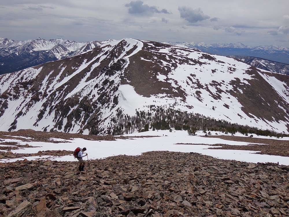
After a bit of a wait for all of the group to arrive on the summit of Big Creek Peak, we decided the weather was holding, and we were all in to continue on toward Flatiron Mountain to the southeast. We angled down to the flat shelf to the south, and then down to the saddle between the two peaks. Or next task was getting up the northwest ridge of Flatiron Mountain. It was only about 500 feet of elevation gain, but really tapped our reserves after all the climbing we’d already done. Once we made it up the ridge, we wandered across the big flat summit area out to the highpoint to the east.
We had a good view of Big Creek Peak from Flatiron Mountain. It was more impressive from this angle. We hung out on the summit for a while eating lunch and feeling good about our second 11er of the day. But soon enough it was time to get moving. The weather was still holding, but we weren’t sure for how long. We had hopes of adding a third peak as well, Peak 10571’ (“Smoke Screen Peak”). But regardless, we needed to head south, so down we went.
Some of the best post-holing of the day was as we neared the saddle south of Flatiron Mountain. After getting past this section, we took a break to discuss next steps. Naturally, I wanted to summit the third peak. Also, the valley wasn’t quite steep enough to glissade, so with some hesitation, we all decided to climb “Smoke Screen” (Apparently it was so smoky from forest fires when Rick Baugher climbed it, that he couldn’t see anything.) Part of the argument for climbing the peak was that its west ridge would be easier to descend than if we were to head down from the saddle.
So up we went, and after another 500’ of talus climbing, we were on the summit of Smoke Screen Peak, our third summit of the day. But we didn’t linger long, as the weather looked a little ominous, and none of us were in the mood to get soaked.
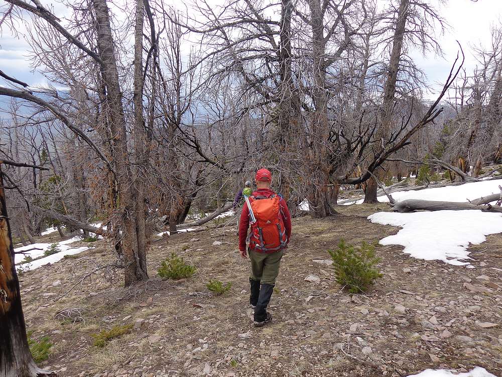
The descent ridge worked pretty well until we got down below tree-line, where we got back into snow again. The snow was soft but patchy, so we took a winding path to try and connect the dots of bare ground. After ongoing discussion, we eventually decided to head northwest’ish and connect back to our up-trail. This may have added a mile or so to our day, but at least we would get back on familiar ground.
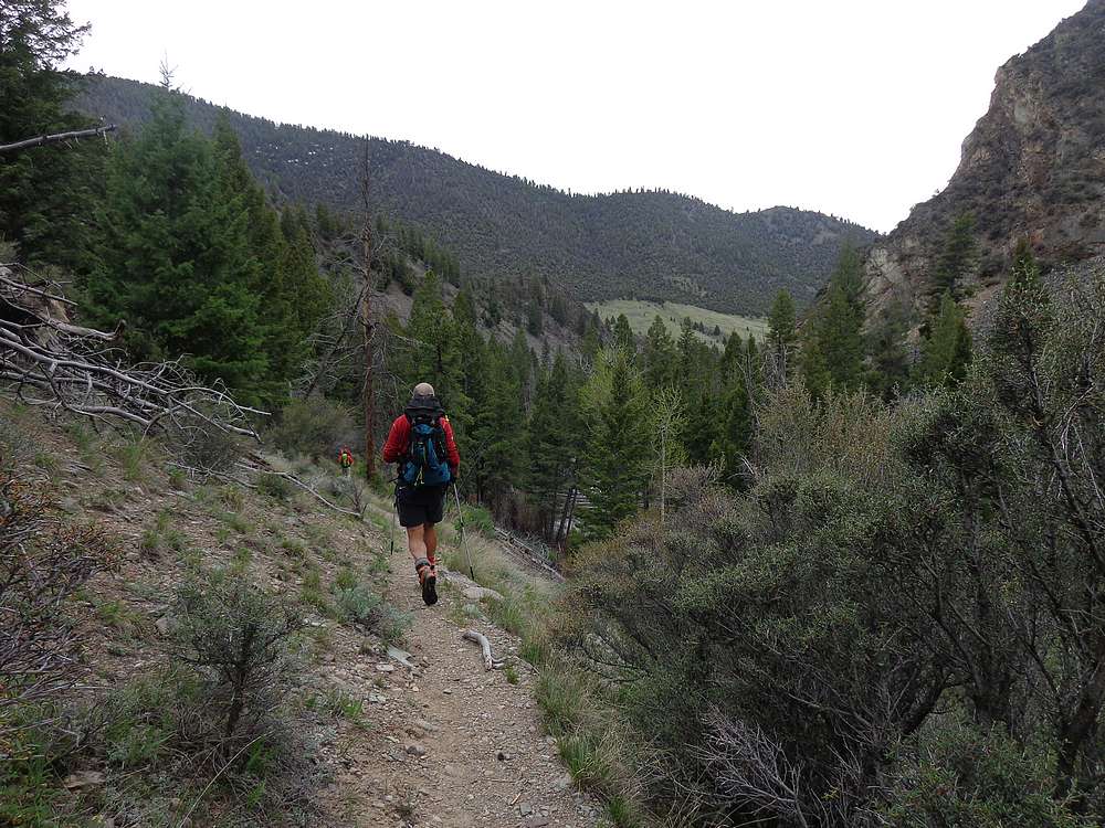
Once back on the ridge from earlier, we just retraced out path back to the low saddle, down Victor’s Trail, and then finally down to Big Creek for a mostly flat hike back to the trailhead. We arrived there at 6:15pm, after just over 12 hours of hiking. And somehow it had never rained, in spite of a 70% forecasted chance. We’d covered over 12 miles and 6000’ of elevation gain. What a day! It was really cool to explore some new terrain with a great group of guys. It had been an excellent adventure.

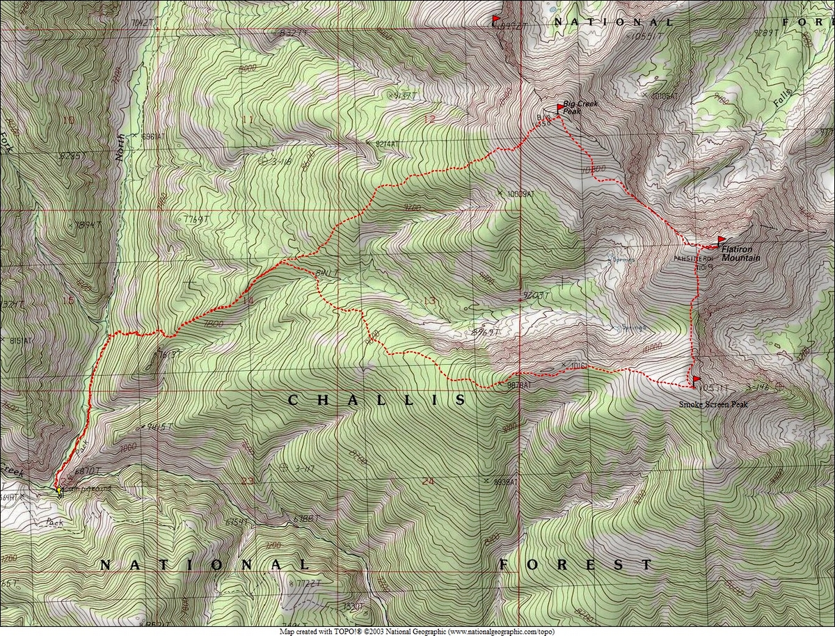
Map of the route, just over 12 miles and 6000' elevation gain round trip. We went clockwise. |
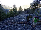
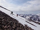
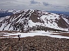
Making our way up the ridge. |
The snow was firm in some places… |
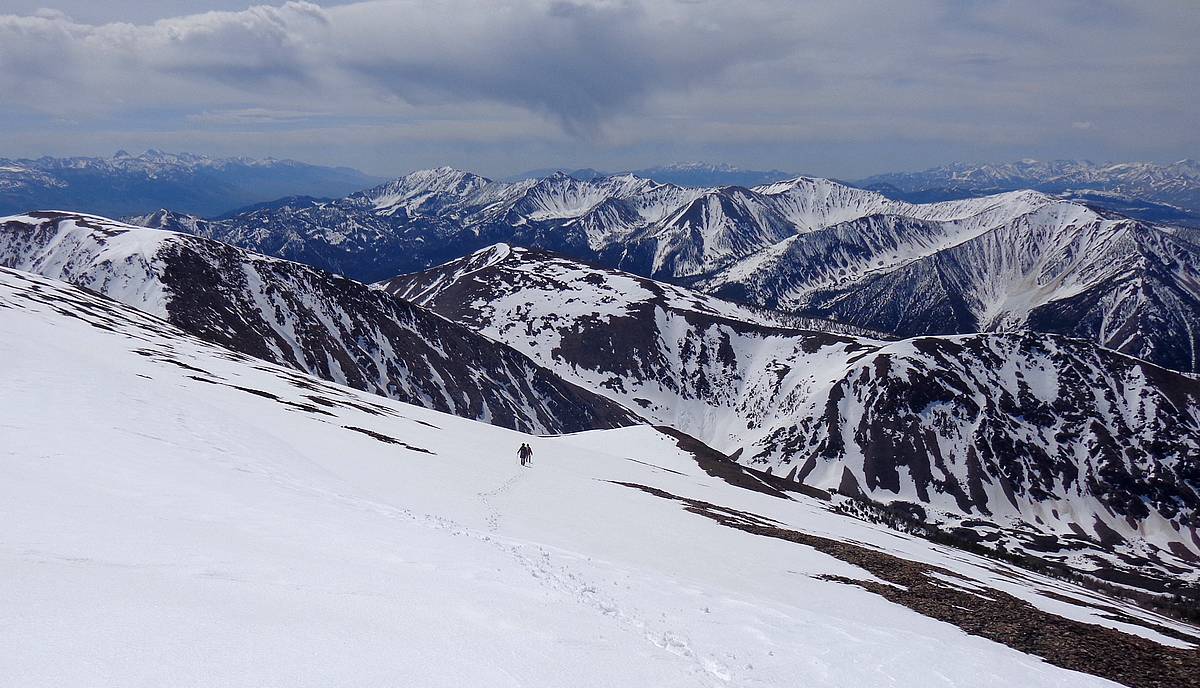
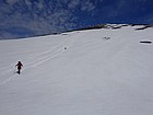
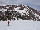
The summit of Big Creek Peak finally coming into view. |
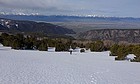
Getting above the trees, Lost River Range in the background. |
Let's take a breather, the air is thin at 11,000'. |

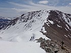
Nearing the summit of Big Creek Peak. |

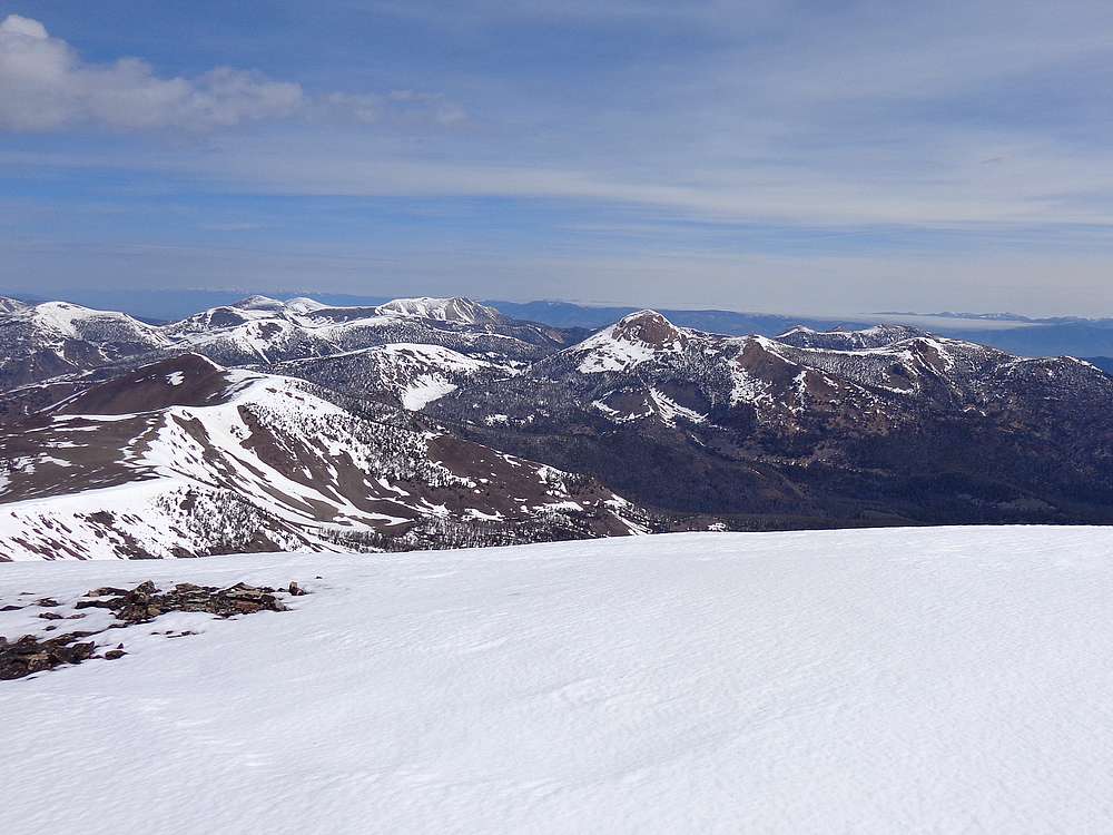
Yellow Peak and the Northern Lemhis from Big Creek Peak. |

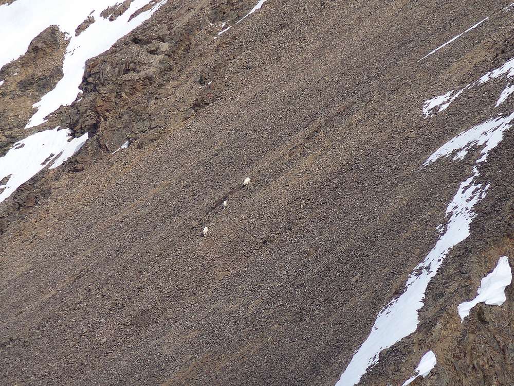
Zoomed in shot of mountain goats on the ridge to the north. |
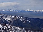
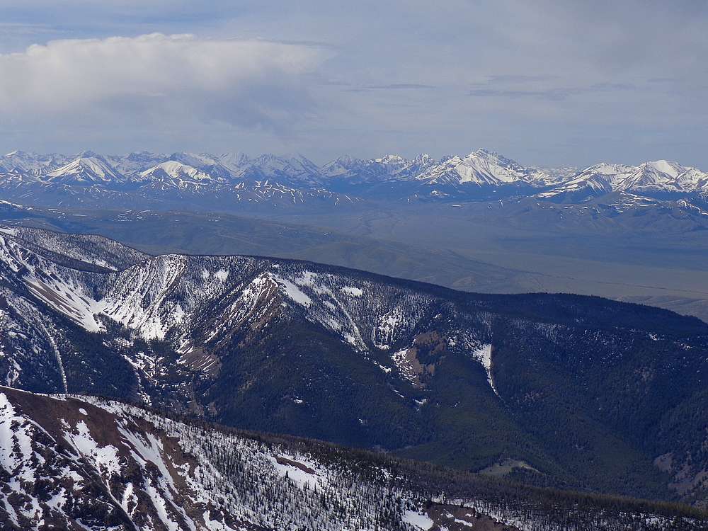
Good view of the east side of the Lost River Range, zoomed in. |

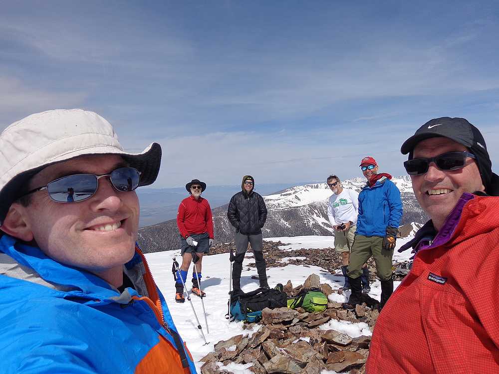
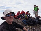
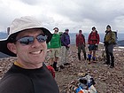
Group shot on the summit of Big Creek Peak. |
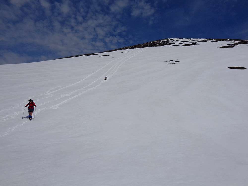
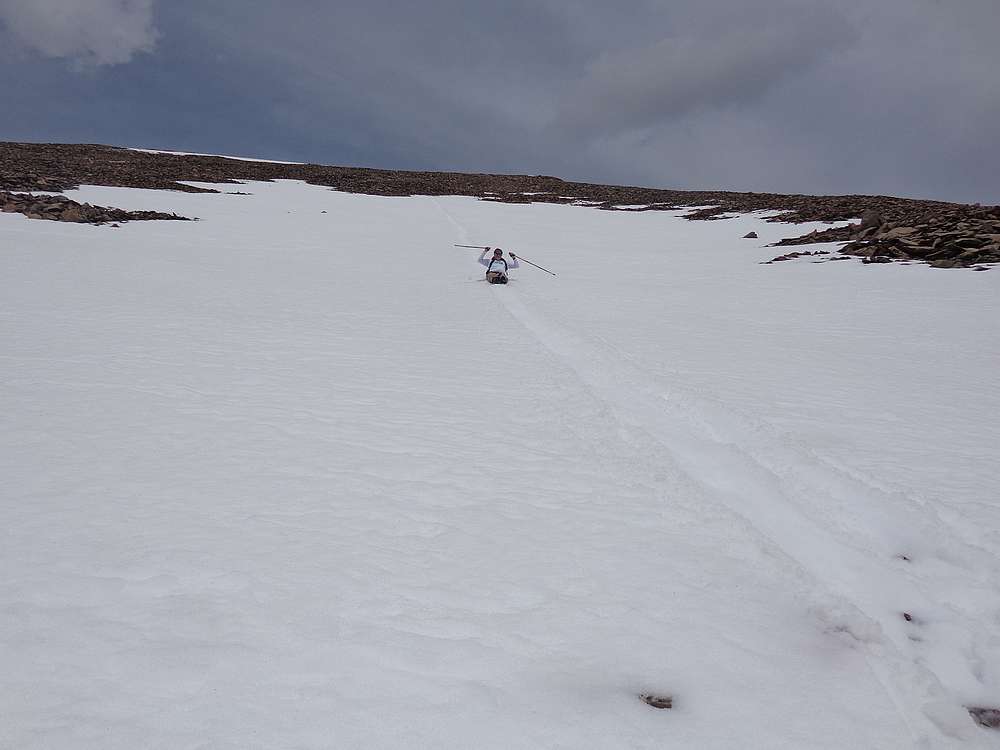
Longest glissade of the day! |
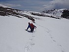
One John postholing, the other crawling on all fours. |
At the saddle between Big Creek Peak and Flatiron Mountain. |
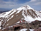
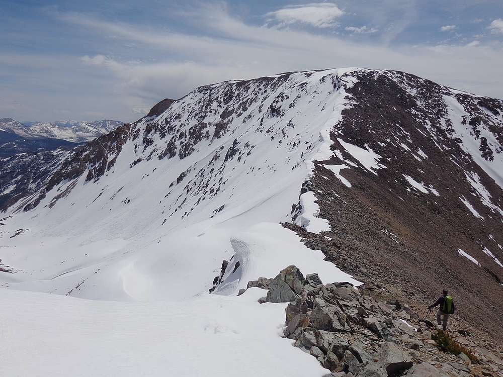
Looking back on Big Creek Peak from the saddle to the south. |
Flatiron Mountain summit shot. |
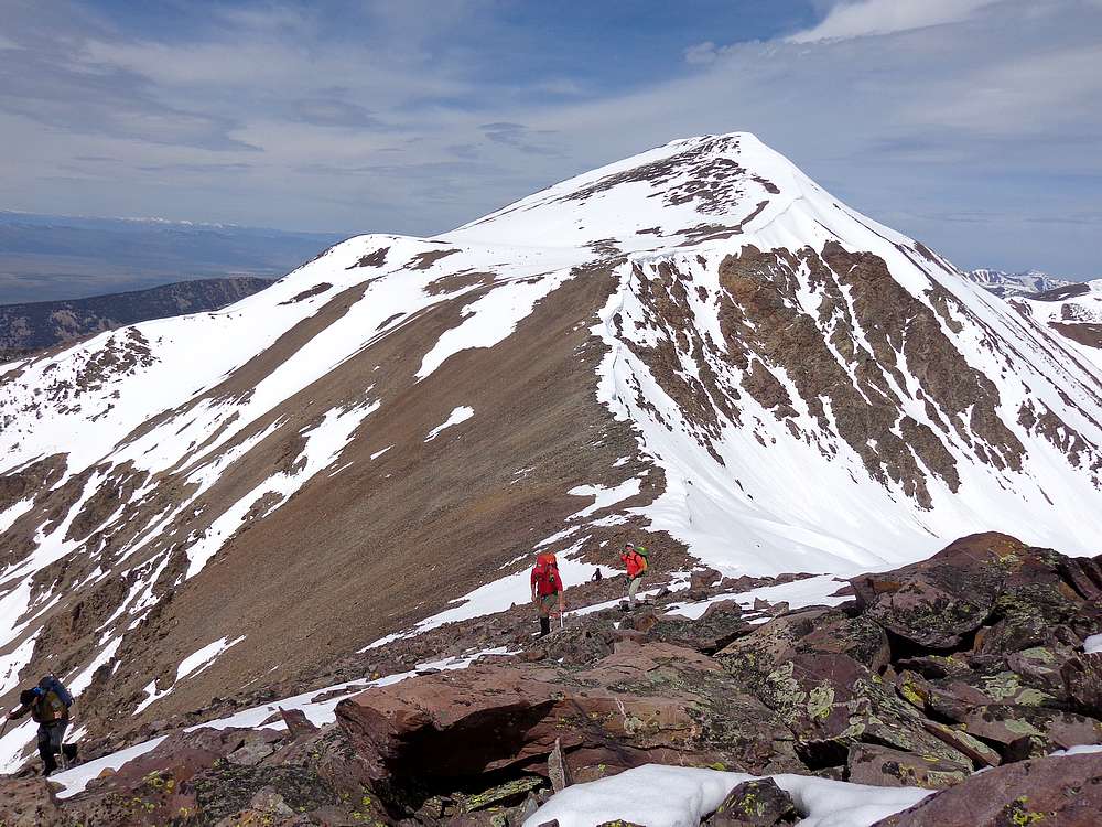
Descending from Flatiron Mountain, on our way south to Smoke Screen Peak (10571'.) |

Steve getting in a good glissade. |
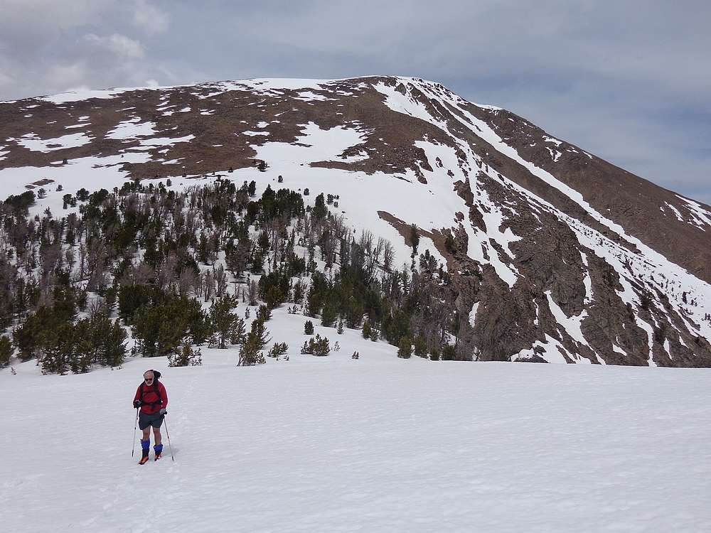
Alex crossing a snowfield below Flatiron Mountain. |
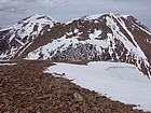
View looking back north at Big Creek Peak and Flatiron Mountain from Smoke Screen Peak. |
Summit shot on Smoke Screen Peak (10571'). |
Descending the west ridge from Smoke Screen Peak. |
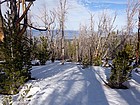
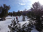
Back down into the trees. |
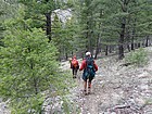
Heading down Victor's Trail. |

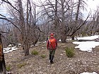
Almost back to the Big Creek trailhead. |
 |
|