|
Ryan Peak
Elevation 11,714'
An Excellent Autumn Adventure to the highest peak in the Boulder Mountains
October 11, 2016
43.9023°N / 114.4094°W
Ryan Peak is the highest summit in the Boulder Mountains, not far north of Ketchum Idaho. The Boulders are known for big rugged peaks, and notoriously loose and lousy rock. Ryan Peak typifies both of those characteristics, but its status as a range highpoint ensures it still sees plenty of visitors in spite of the challenges.
I’d been wanting to climb Ryan Peak for quite a while, and when I learned JJ was also interested, we started working on picking a day to go climb it. With a nice October weather window about to close, we skipped work on a Tuesday for a climb up the south ridge from the West Pass trailhead.
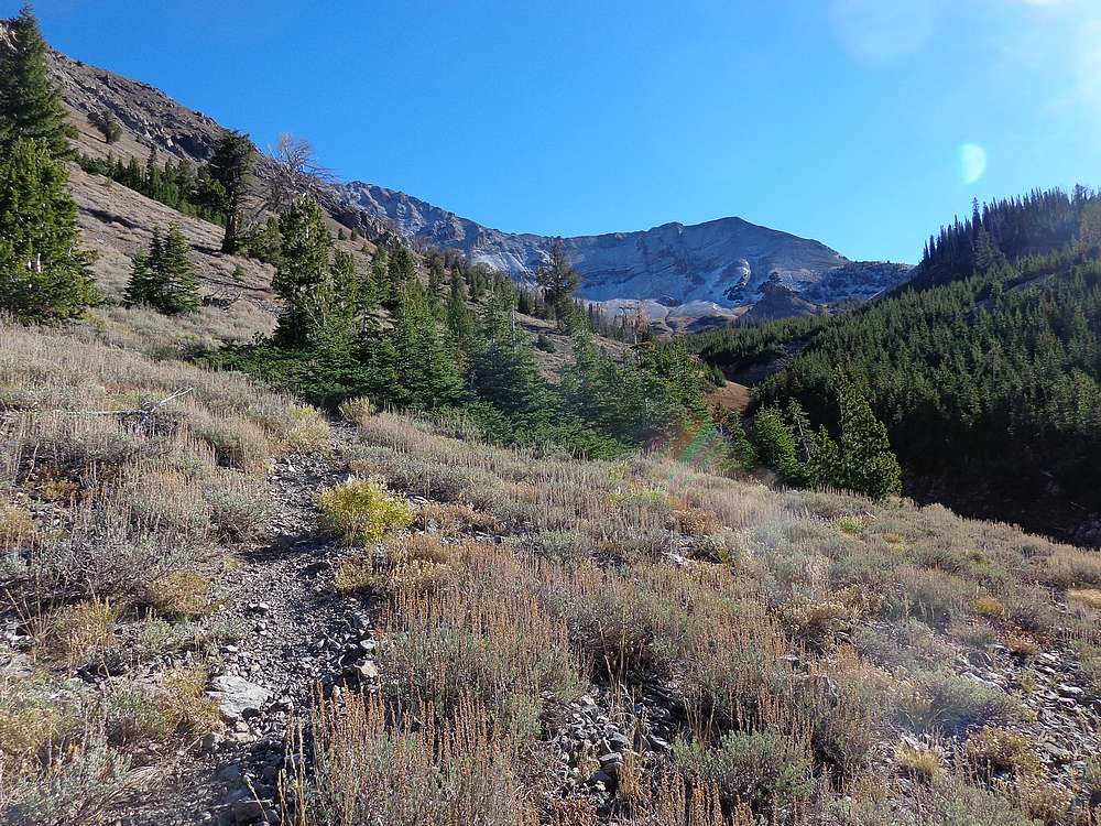
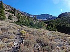
After a 3-hour drive from Boise, we hit the trail at a little before 9:30. It was a beautiful fall morning, and the weather was looking excellent. The trail initially “undulates” (which means some uphill to deal with on the way back) for a while along the hillside, and then settles in for some easy hiking next to the North Fork Big Wood River. But the easy hiking came to an abrupt end when we reached the trail junction where we headed uphill northeast towards West Pass. From there, the trail is well maintained, but plenty steep as we forged our way up the valley.
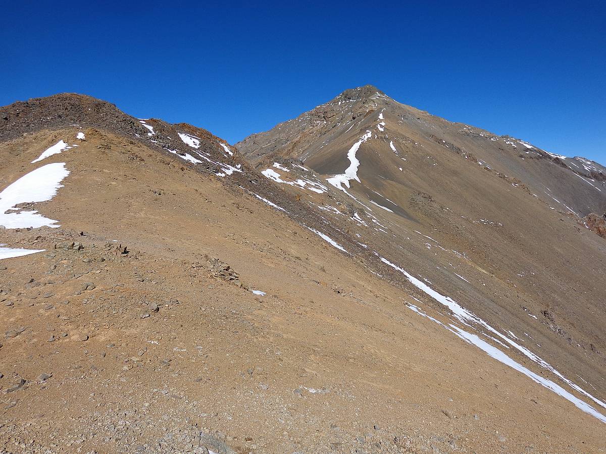
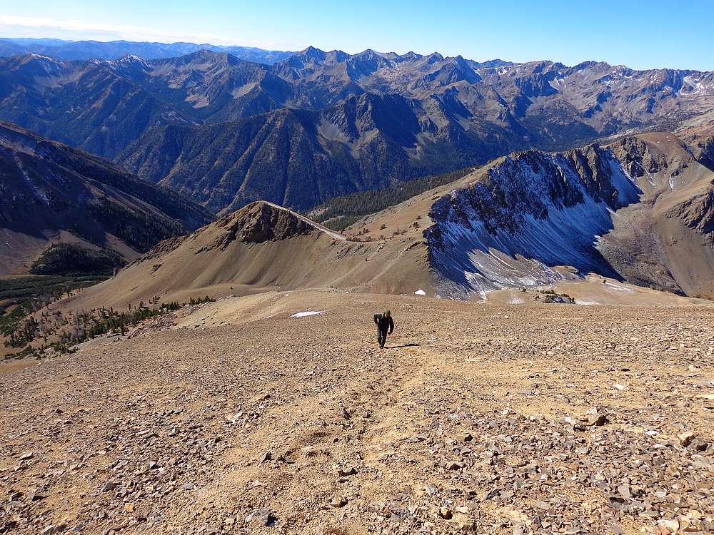
It took us about 2.5 hours to cover the 4.5 miles of trail to reach West Pass. We decided to stop for a lunch break here, and enjoyed the views on an amazing autumn day. But soon enough it was time to leave the trail and start making our way up the dreaded talus. The first 500’ of climbing from the saddle was probably the most challenging section. It was loose rock, but honestly not as bad as I’d expected. Higher up it was sandy, but a decent climbers trail made travel pretty manageable.
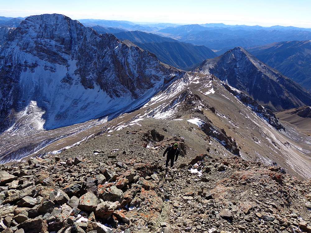
Once at the point due south of Ryan, we had a good view looking up at the summit. It was here that the wind picked up quite a bit, so we bundled up and headed north up the ridge. We made steady progress in spite of the wind, and arrived at the summit without incident.
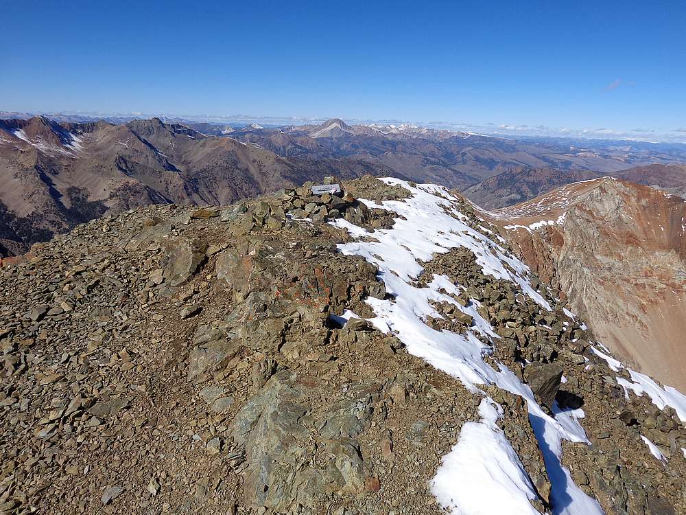
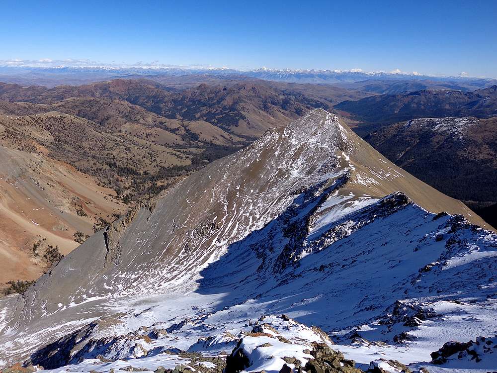
Ryan Peak is positioned for some great views of all the surrounding mountain ranges. The crisp autumn air allowed for some very clear views of the Sawtooths in the distance. We could also see the White Clouds (Castle Peak), Salmon River Mountains, Lost River Range (Mount Borah), the Pioneers, and of course the rugged Boulder Mountains all around us. I was very impressed by the views, and we stayed to check out the scenery even as the wind tried to chill us to the bone.
After signing our names in the busy summit register, it was time to head down. One nice thing about climbing peaks in the Boulders is that the loose scree makes for a quick decent. We made fast time plunge-stepping back down to West Pass, where we stopped for a snack. From there, it was just a trail hike back to the car. Although the steep trail did do a number on our knees.
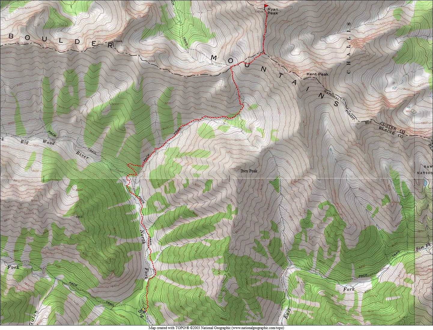
It had been an excellent day in the mountains. Fantastic scenery, perfect weather, and a great climbing partner. That’s a combination that tough to beat. Round trip was just over 11 miles, 5200’ elevation gain in 7.5 hours.
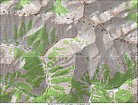
Map of our route, about 11 miles and 5200' elevation gain round trip. |
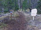
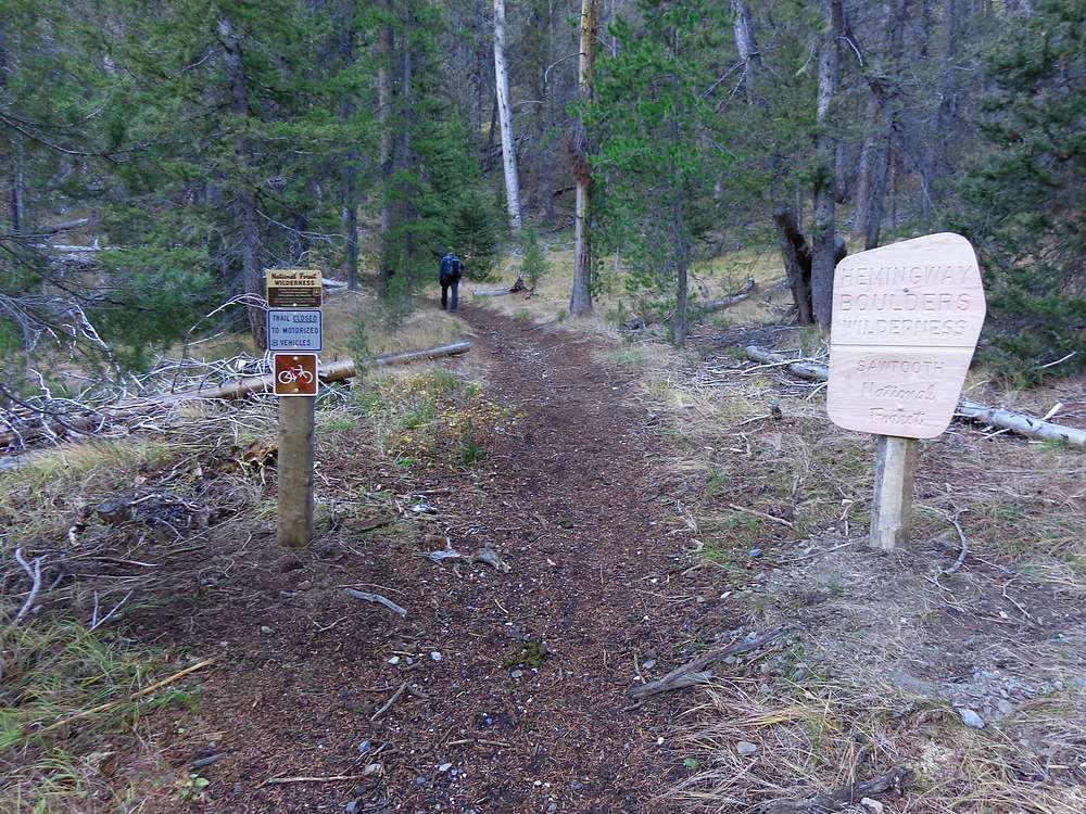
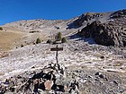
Brand new Hemingway Boulders Wilderness Area sign near the trailhead. |
On our way up the trail, Kent Peak in the distance. |

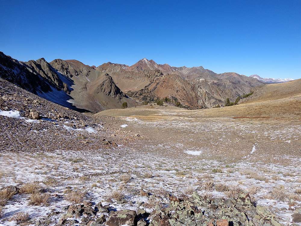
View of Glassford Peak from West Pass. |
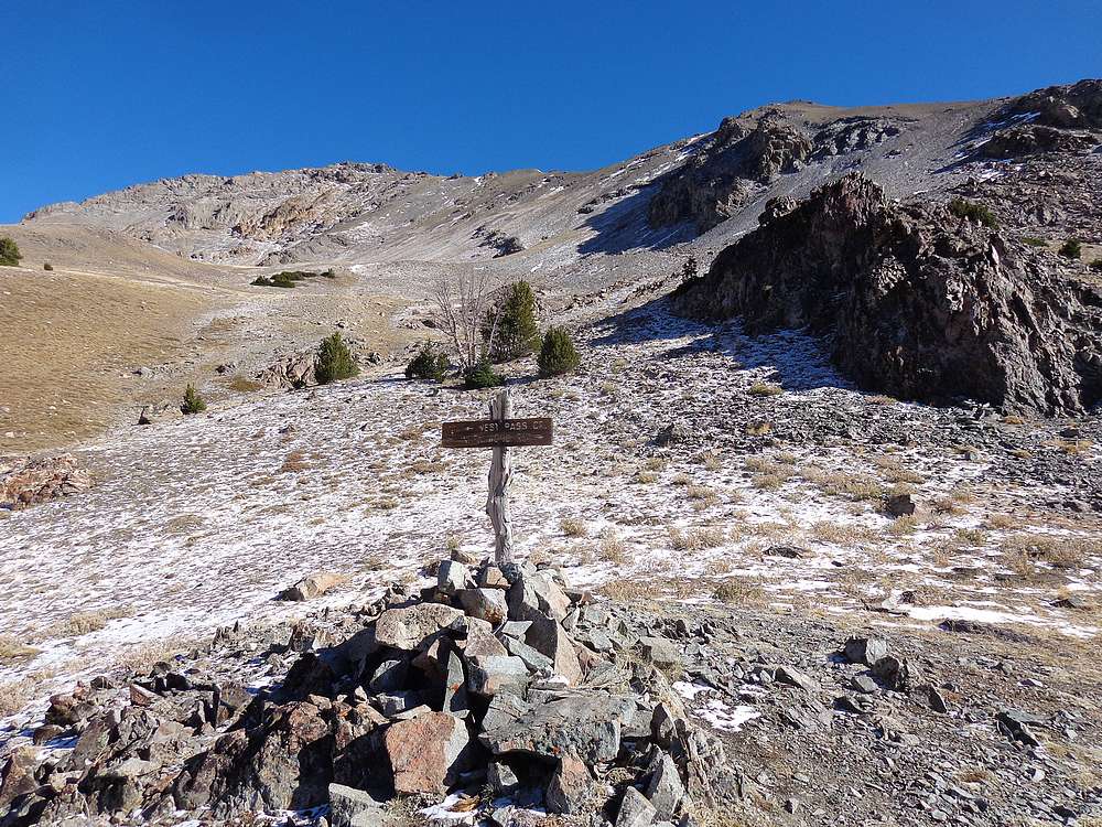
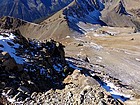
About to leave the trail at West Pass and head up Ryan Peak. |
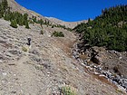
Just a little bit of scrambling. |

Plenty of talus and gravel to deal with. |
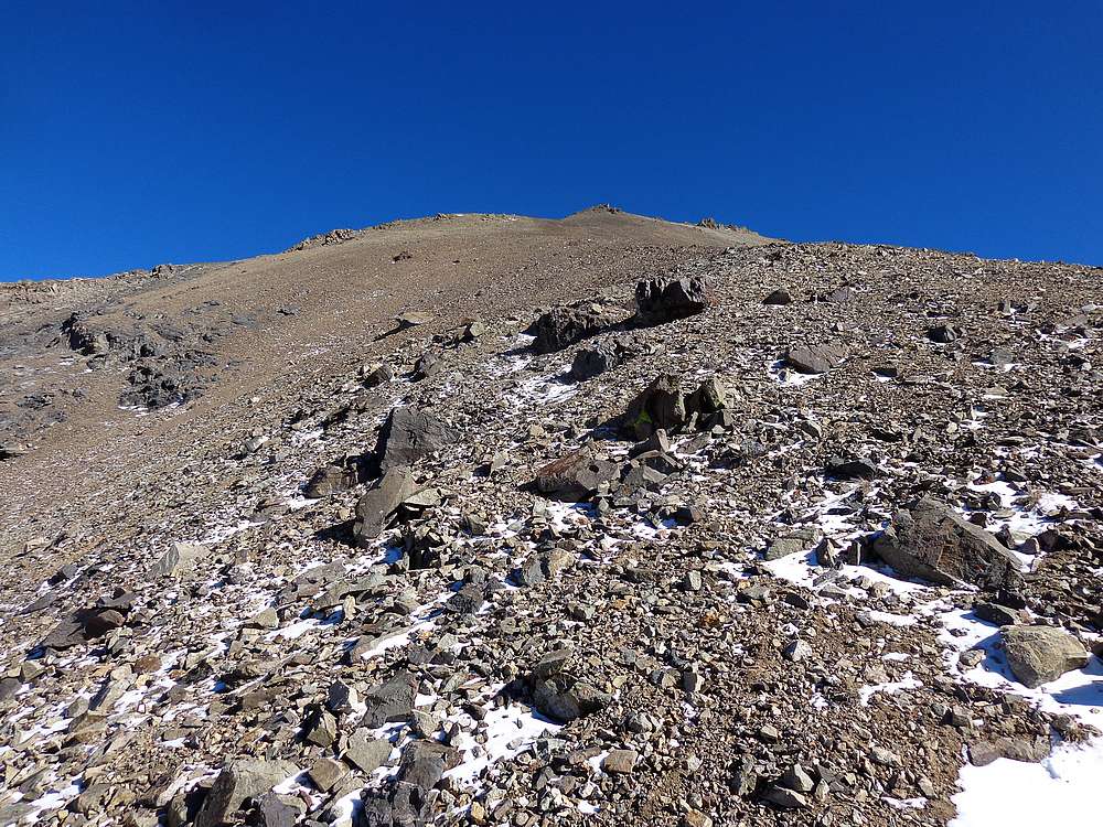
Making our way up the sandy slopes. |

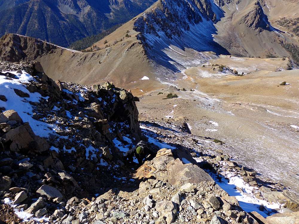
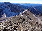
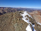
South Ridge of Ryan Peak. |
Headed up the ridge, north face of Kent Peak behind us. |
Castle Peak from the summit of Ryan Peak. |
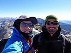
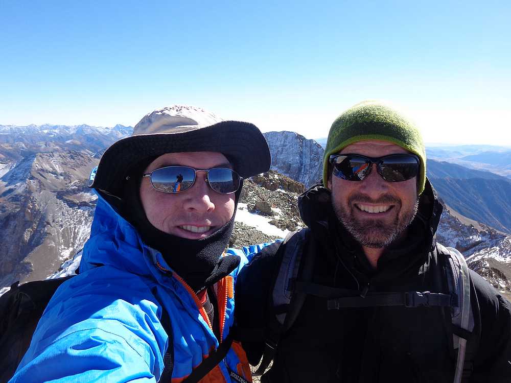
Splattski style shot on the summit of Ryan Peak. |
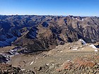
Mount Borah in the distance from Ryan Peak. |
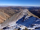
Looking into the heart of the Boulder Mountains from Ryan Peak. |
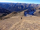
Hiking back down on a sunny Fall afternoon. |
 |
|