|
Cuddy Mountain
Cuddy Mountain is the highest peak in a small mountain range in western Idaho that is fittingly named the Cuddy Mountains. It’s also the highpoint of Washington County, and its 3207’ of prominence is the 25th most in Idaho. The peak itself is not particularly impressive, but it does offer up some great views of the Wallowa’s, Seven Devils, and other nearby mountain ranges.
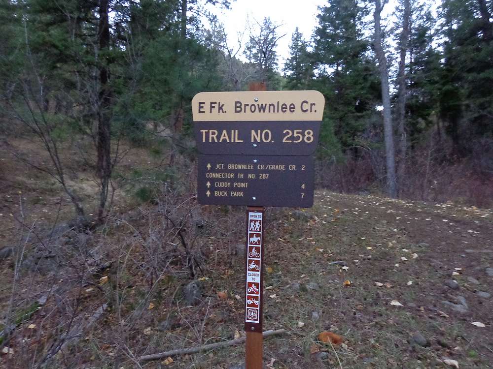
JJ the range highpoint climber invited me to join him for a climb of Cuddy Mountain on a beautiful sunny November day. We made the 2+ hour drive from Boise to the East Brownlee Creek Trailhead near Cambridge, and were hiking just after the sun came up at 8am.
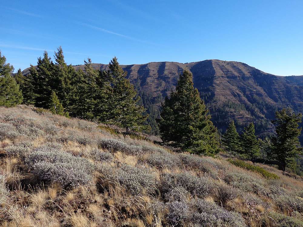
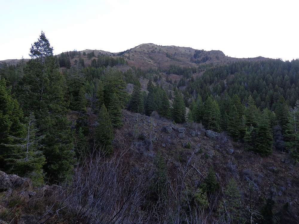
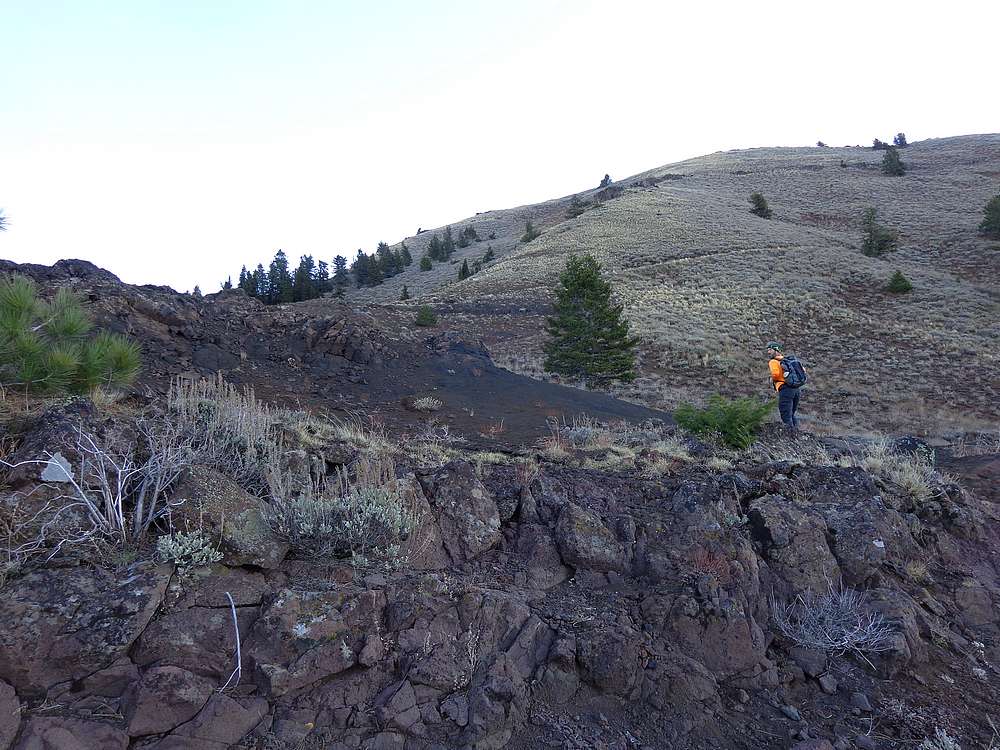
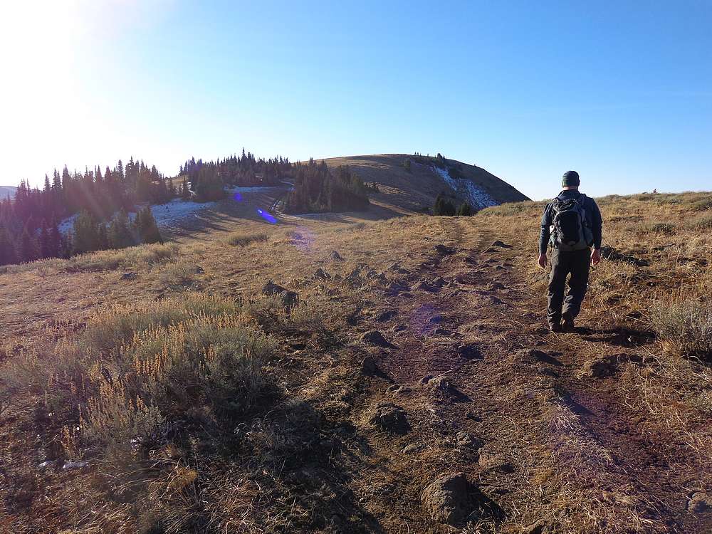
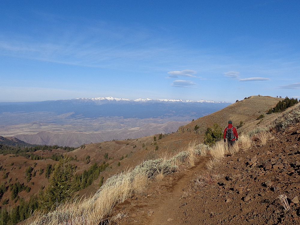
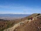
The first mile or so of fairly steep hiking is on an old logging road, which later thins down to a nice single track trail. After about 2 miles, we hung a right at a fork at a trail, and continued on to a saddle just west of Cuddy Point. The trail is mostly up and out of the trees from this point on, with great views. The trail then hung a U-turn back to the south, followed by a bit more trail hiking, and then we met a rocky jeep road coming from the east that we followed most of the way to the summit.
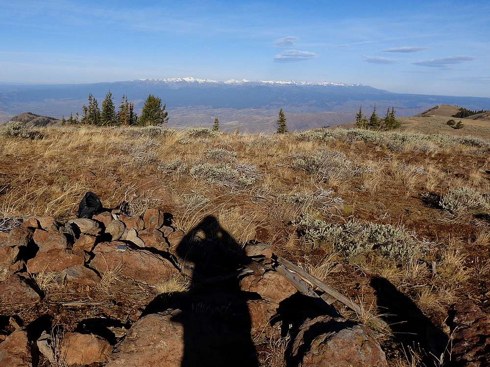
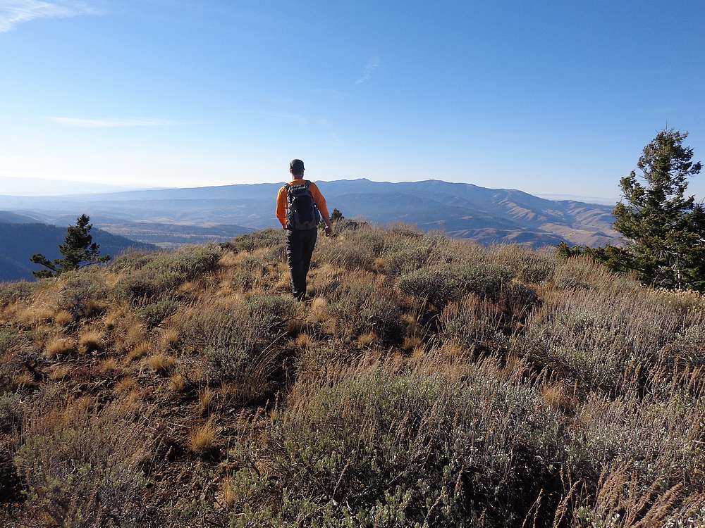
The summit of Cuddy Mountain is rounded and open terrain. Not the most exciting finish to the four mile climb, but some great views. We stopped for a lunch break, and soaked in the scenery. The November wind was chilly, but the skies were blue and sunny.
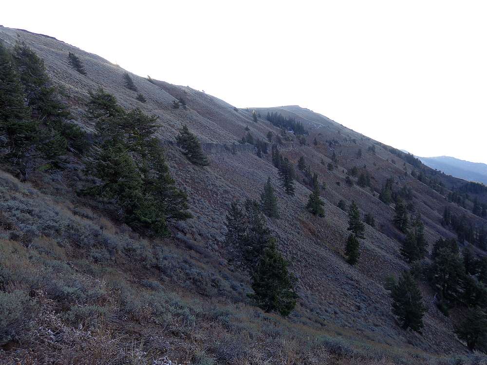
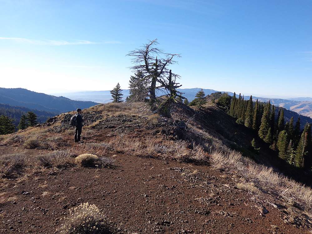
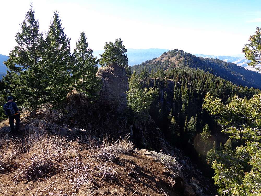
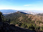
After backtracking to the upper saddle, we took a cross-country detour to Peak 7092’ (“West Cuddy Mountain”). The nice ridgewalk was arguably the highlight of the day, and culminated with some more great views. From the summit of “West Cuddy Mountain”, we descended south to a trail that eventually met up with our ascent trail at the earlier mentioned fork. All that was left was a quick hike back to the trailhead.
Cuddy Mountain isn’t the most exciting peak, but the weather and the views made for an enjoyable day. Definitely great to be out hiking in November too. Round trip was just under 10 miles and 3600’ elevation gain in just under 5 hours. (If only doing Cuddy, the trip is more like 8 miles and 3000’ gain.)
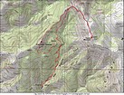
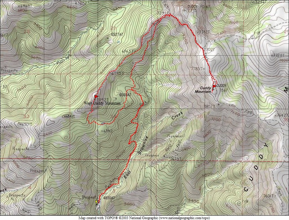
Map of our route, about 10 miles and 3600' elevation gain round trip. |
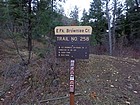
Brownlee Creek Trailhead. |
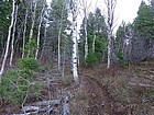
Aspens early in the hike. |
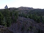
First view of Cuddy Mountain. |
Nearing the saddle west of Cuddy Point. |

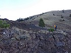
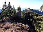
Looking back south on Cuddy Mountain. |
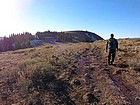
Final stretch to the summit. |
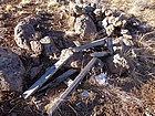
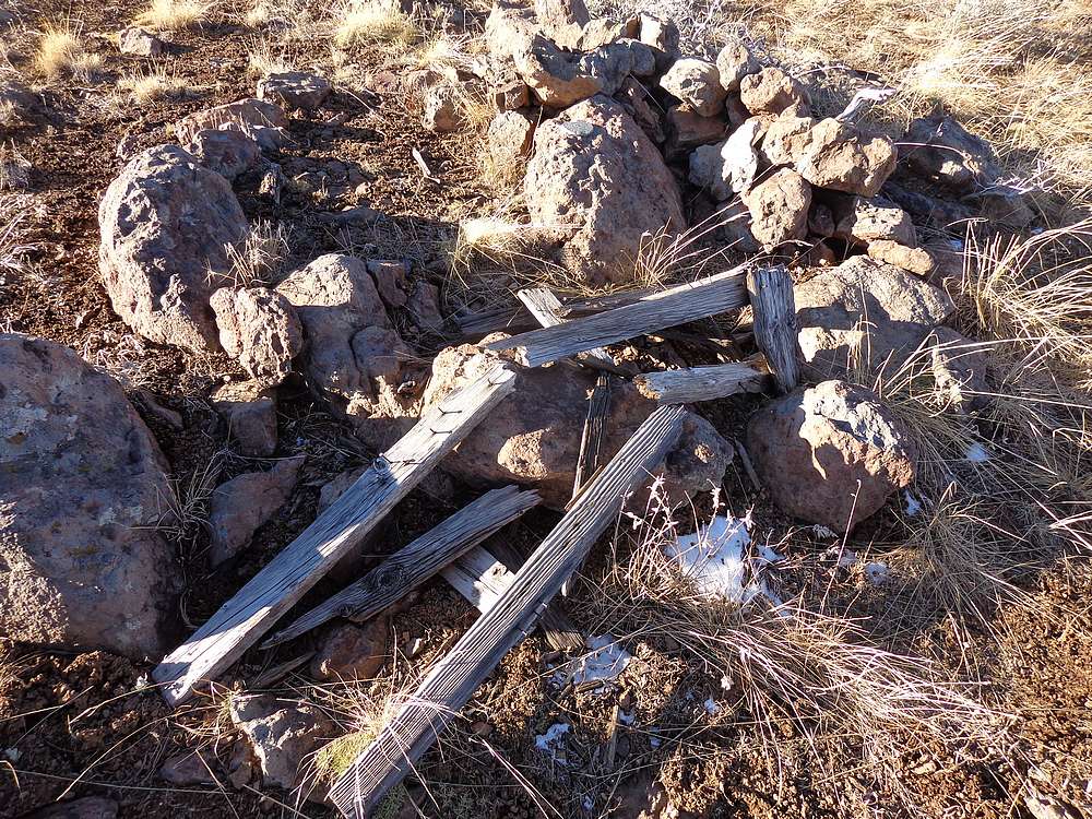
Old triangulation station on the summit of Cuddy Mountain. |
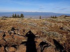
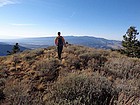
View of the Wallowa's in Oregon. |
Headed back down. |
West Cuddy Mountain from the northeast. |
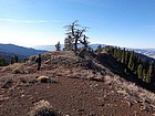
Dead snag on the ridge. |
Fun section of ridge walking. |
Nearing the summit of West Cuddy Mountain. |
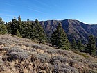
Cuddy Mountain from West Cuddy Mountain. |
 |
|