|
Daggett Points
There are two peaks in the area of land enclosed by Daggett Creek, Clear Creek, Grimes Creek, and Mores Creek. The higher of the two I’ve nicknamed “Upper Daggett Point” (Peak 5140’) and the second is “Daggett Point” (Peak 4954’). This is a pretty mountain setting not far north from Boise, but there is quite a bit of private land nearby, so it is recommended to study land ownership maps in advance and get permission to cross private land if needed.
After an hour drive from Boise, I parked at Clear Creek Summit and hit the trail. I’d visited “Upper Daggett Point” previously, so my main objective this time was “Daggett Point”. I followed the trail for the first mile or so, then left the trail and headed cross country when it dropped to ~4600’.
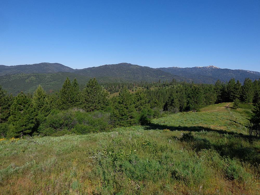
The next mile was an adventure, with plenty of side-hilling and bush whacking. There were occasional game trails, so it could have been worse. I was happy to pick up an overgrown jeep trail at the saddle, and was able to follow it all the way to Daggett Point. It was a beautiful morning with nice views from the ridge and several green meadows along the way. The summit itself was mostly open, and I enjoyed a snack there before heading back.
On the way back, I was able to find better ways around some of the worst bushwhacking sections, but it was still a relief to finally reach my original approach trail. I was running ahead of schedule, and decided to make a quick side trip for a return visit to “Upper Daggett Point”.
I followed a lightly used ATV trail south toward the peak, and it got me to within a third of a mile of the highpoint. But that last third of a mile was super brushy, with only occasional breaks in the thicket. The going was slow, but I eventually reached the unimpressive summit. Not too many people would make their way here voluntarily, let alone twice.
After another light snack, I powered through the brush back down to the trail, and then back to the car. All in all, a great morning in the mountains. Round trip was about 8 miles and 1900’ elevation gain in 4.5 hours.
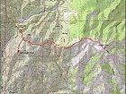
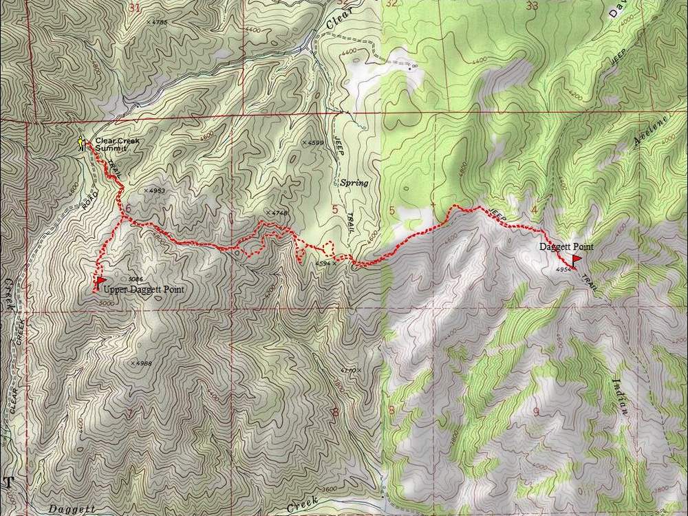
Map of my route, 8 miles and 1900' gain round trip. |

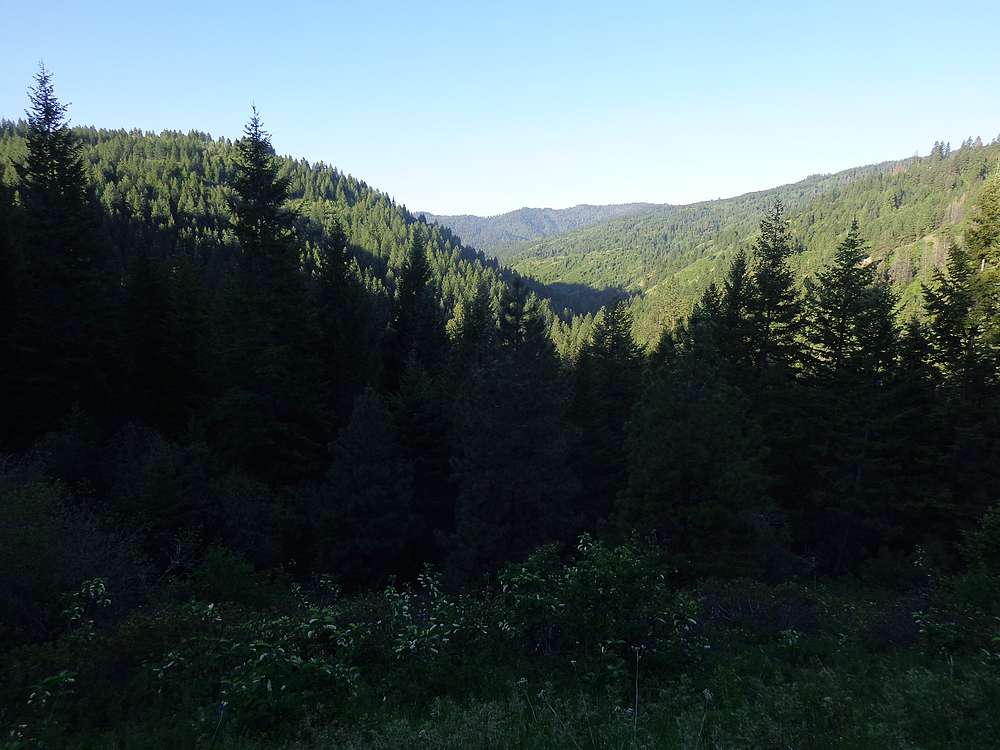
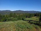
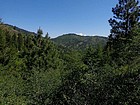
Good views from the start. |
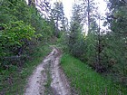
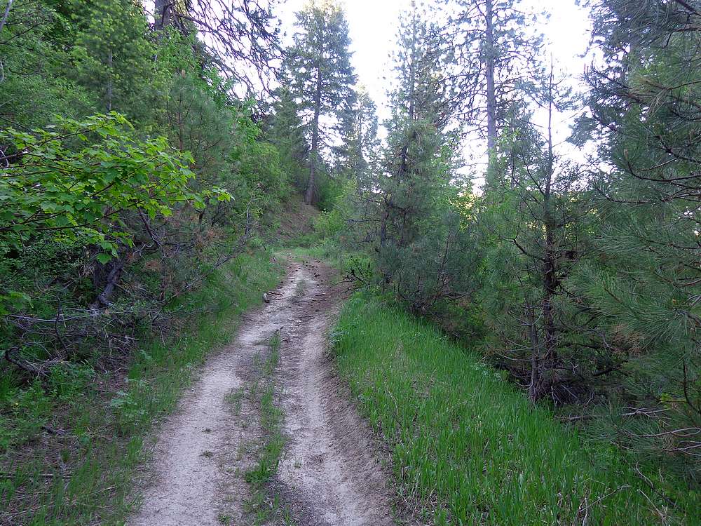
Early trail view. |
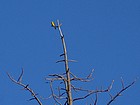
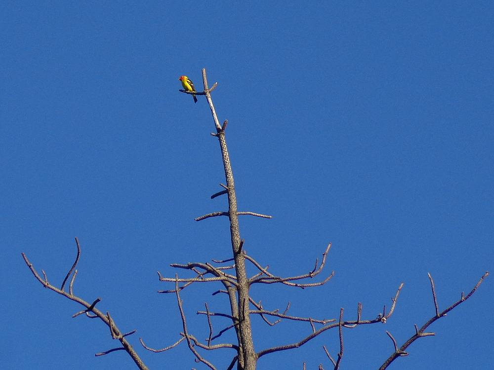
Tanager in a dead snag. |
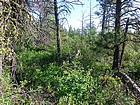
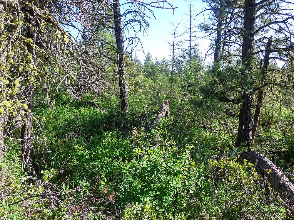
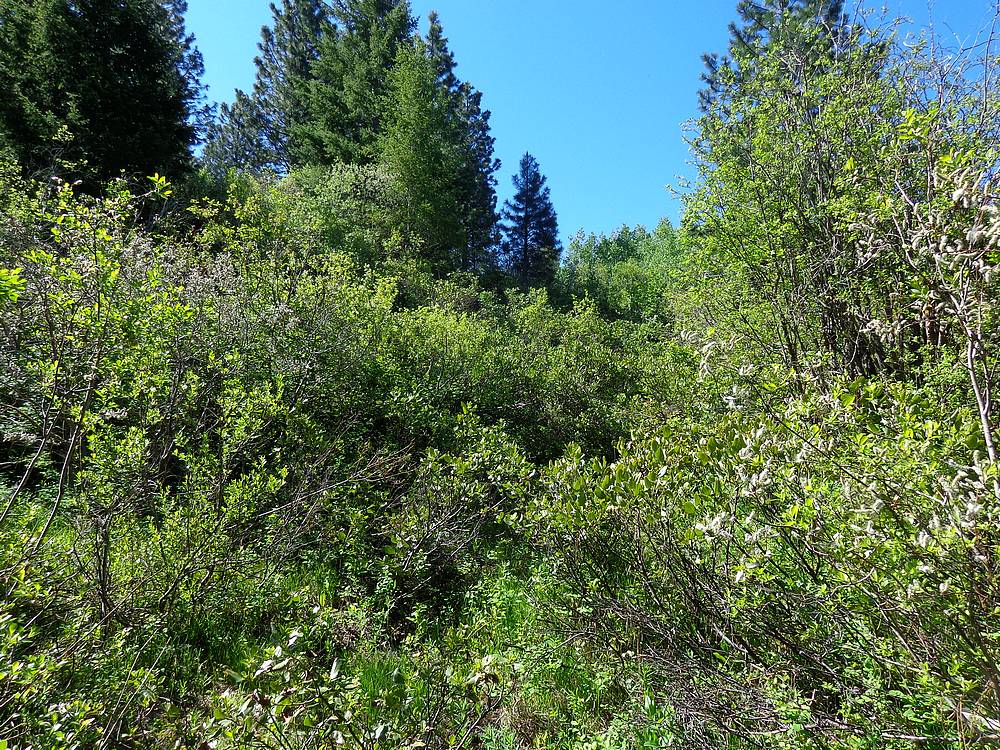
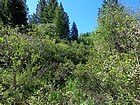
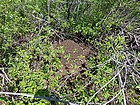
Typical conditions during the bushwhack. |
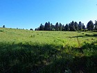
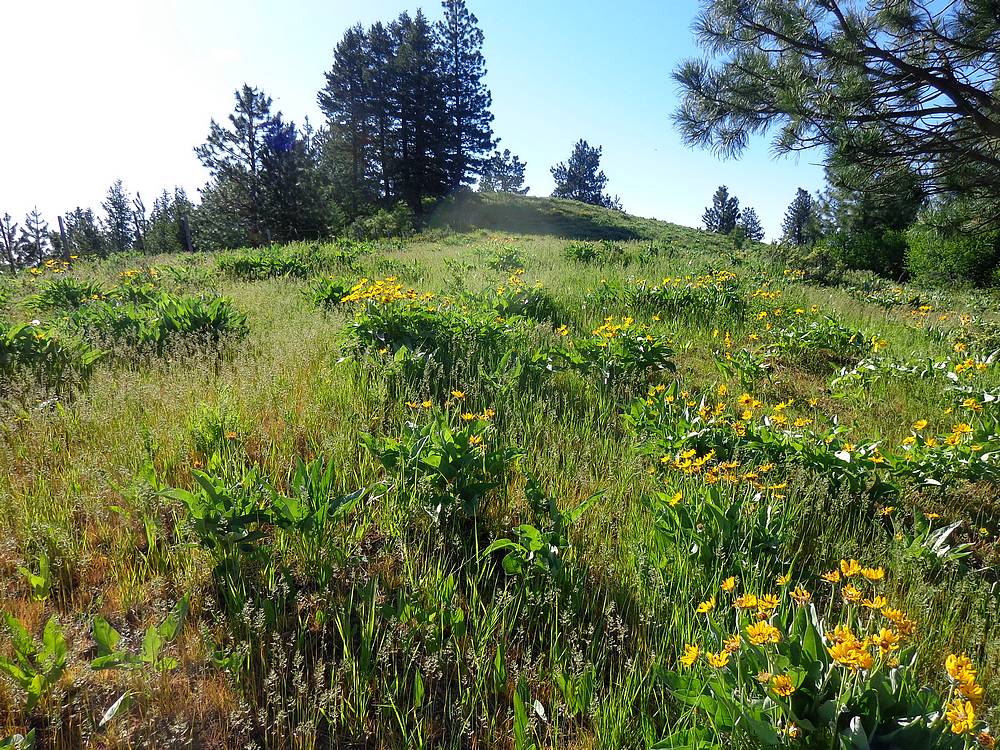
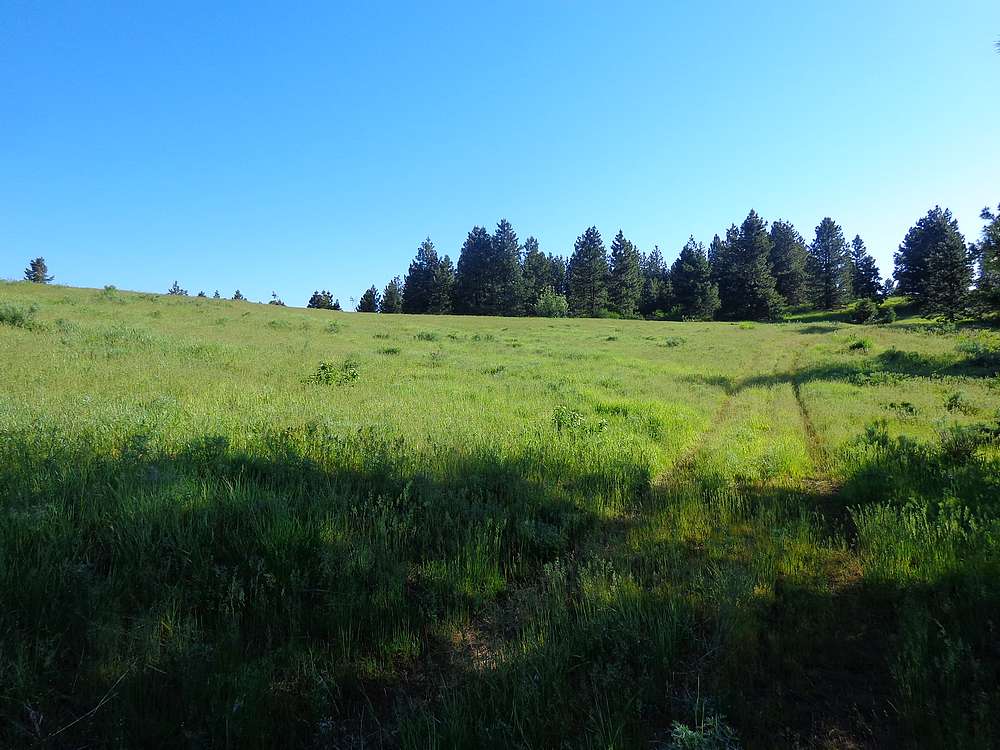
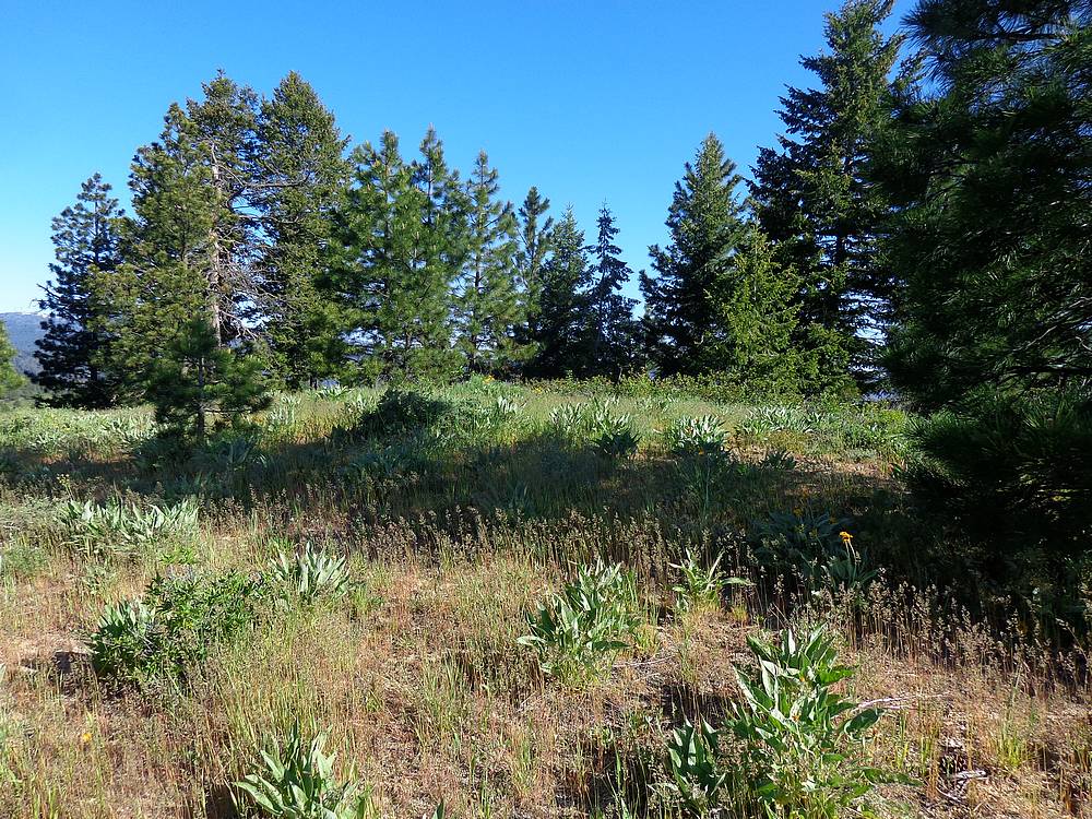
Pretty open meadow on the way up. |
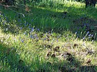
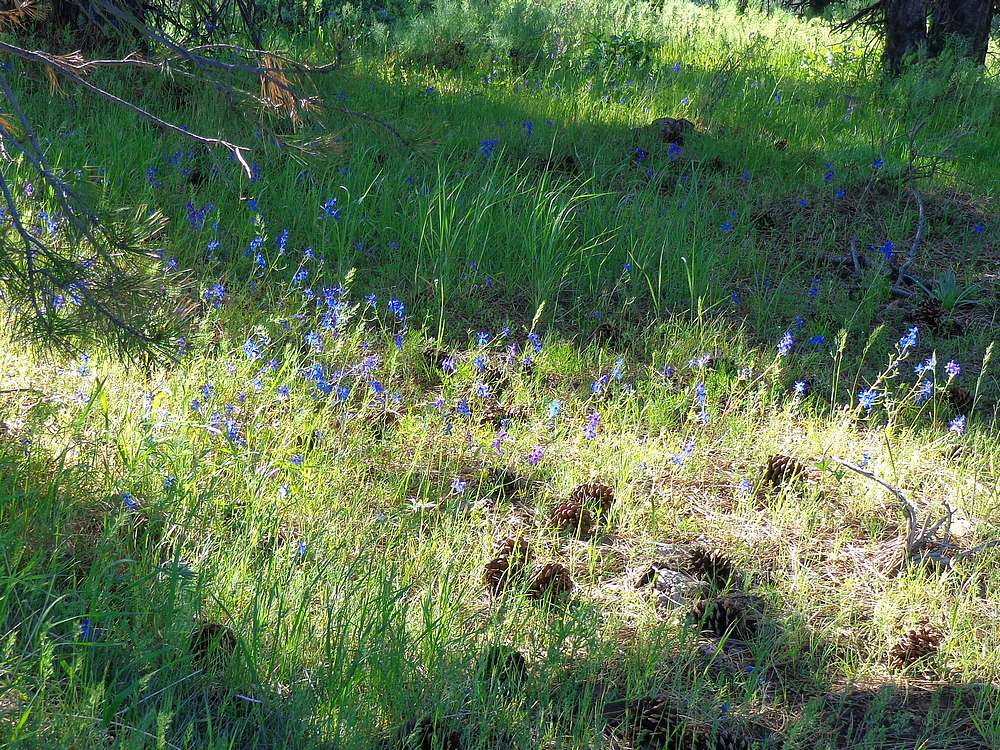
Wildflowers. |
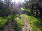
Easy trail the last mile or so. |

View toward the summit of Daggett Point. |

Daggett Point summit. |
Boise Peak, Gardiner Peak, and Schaffer Butte from Daggett Point. |
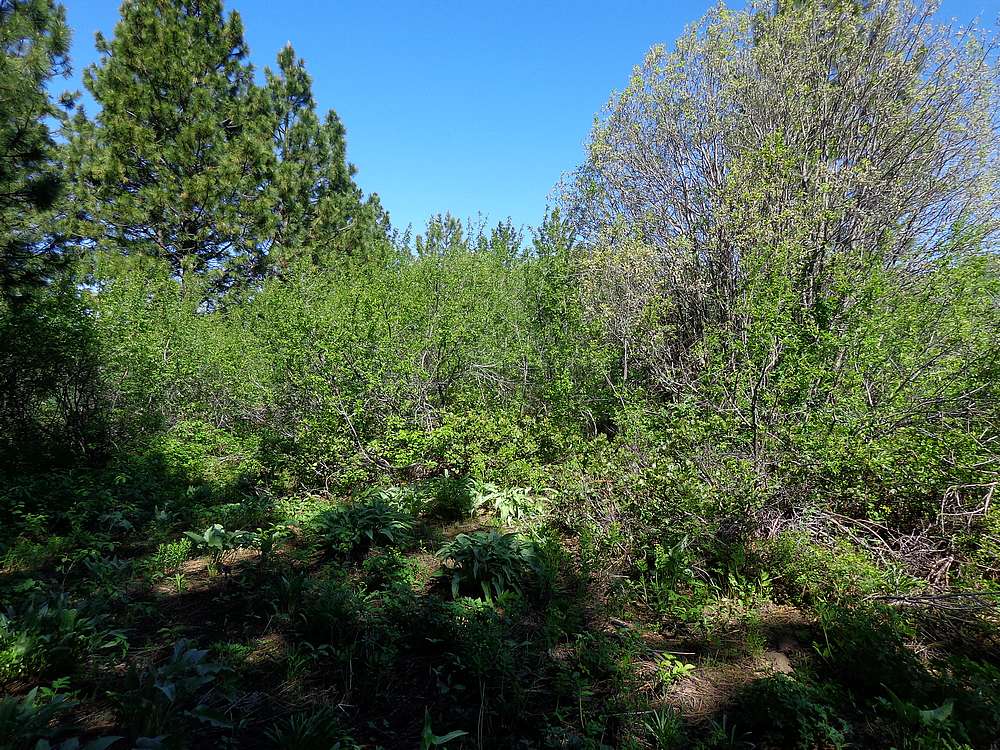
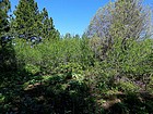
Start of the bushwhack below Upper Daggett Point. |
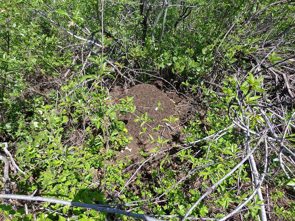
Upper Daggett Point summit area. |
Summit marker on Upper Daggett Point. I didn't look for a register. |
Final view of Daggett Point from Crooked Summit during the drive home. |
|
|
|