|
Oxford Peak
Elevation 9282'
Oxford Peak is located in southeast Idaho, and is the tallest Mountain in the Bannock Range. It is also the highpoint of Oneida County. It also happens to be the 10th most prominent peak in Idaho, with over 4000 feet of prominence. This makes for some great views of the surrounding areas. The most common route is via a 4WD drive to Davis Basin, and then a long hike up the southern ridge. Views are great along the way, but the trail is open to ATV’s and cattle, so don’t go there expecting a wilderness experience.
Michael and I had headed to southeast Idaho to avoid bad weather elsewhere. Yesterday we climbed both Mount Baird and Mount Glory. Oxford Peak was Michael’s suggestion for today. I was only vaguely familiar with it, but after some quick research, it looked like a great option since we were in the area.
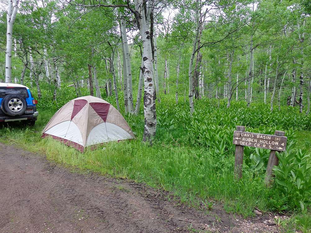
After a long day Friday, we made the drive up to Davis Basin. The drive took longer than expected, and finding a campsite in the dark wasn’t easy, but we eventually found a spot and had the tent up by just after midnight during a break in the rain.
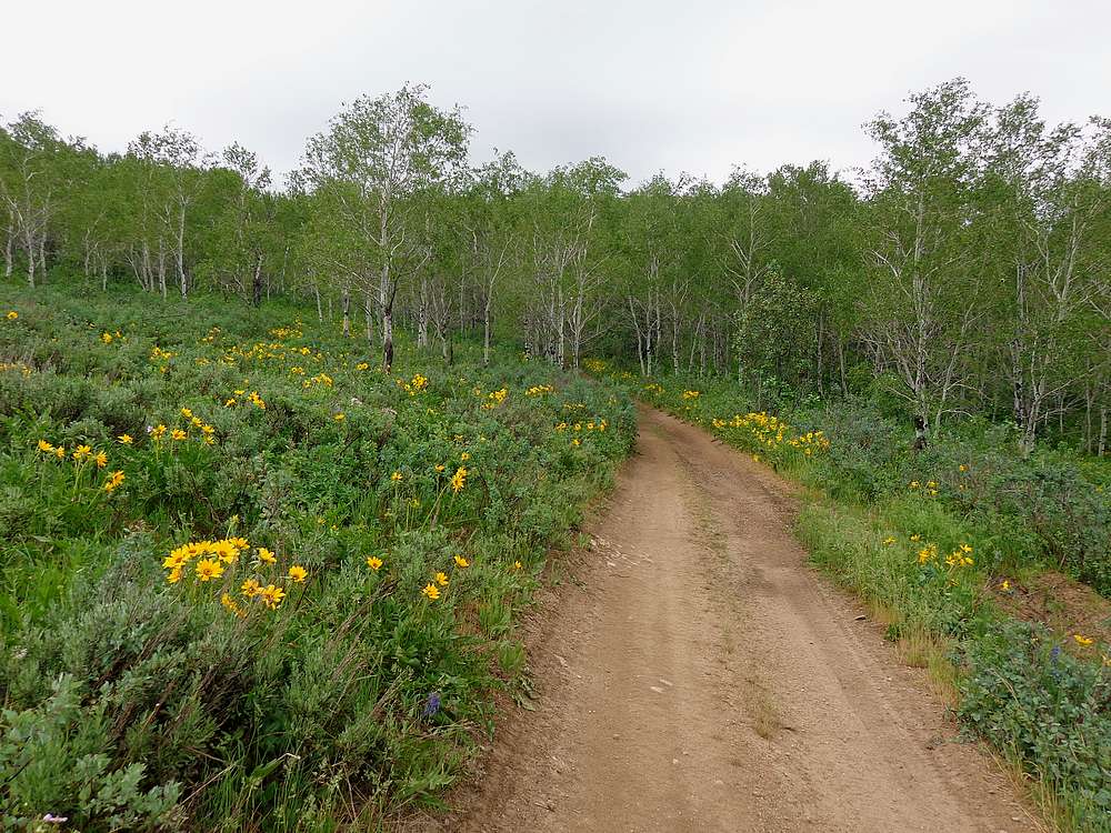
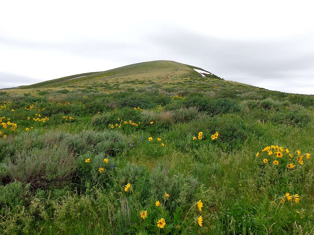
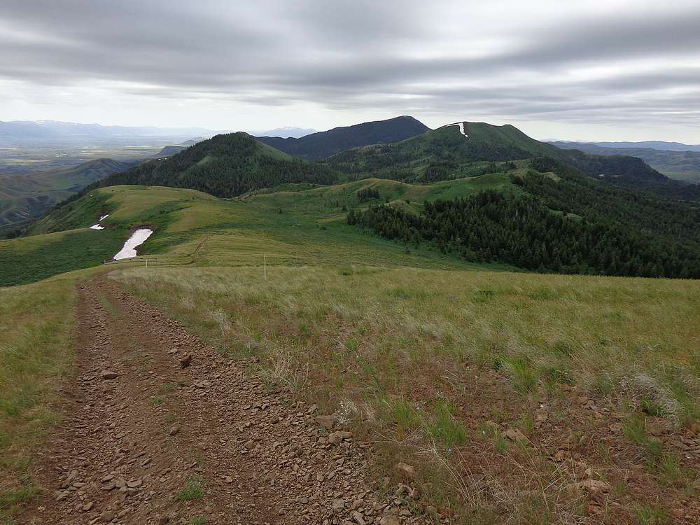
The next morning, we hit the trail under overcast skies. The “trail” was an ATV road that headed north toward Oxford Peak. In June, the grass was green and the wildflowers were blooming. We made steady progress, passing over several false summits before reaching the highpoint of Oxford Ridge (Peak 8735’) after about 3.5 miles of hiking.
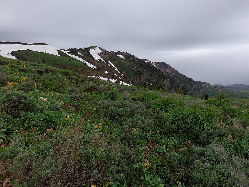
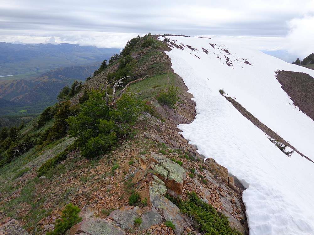
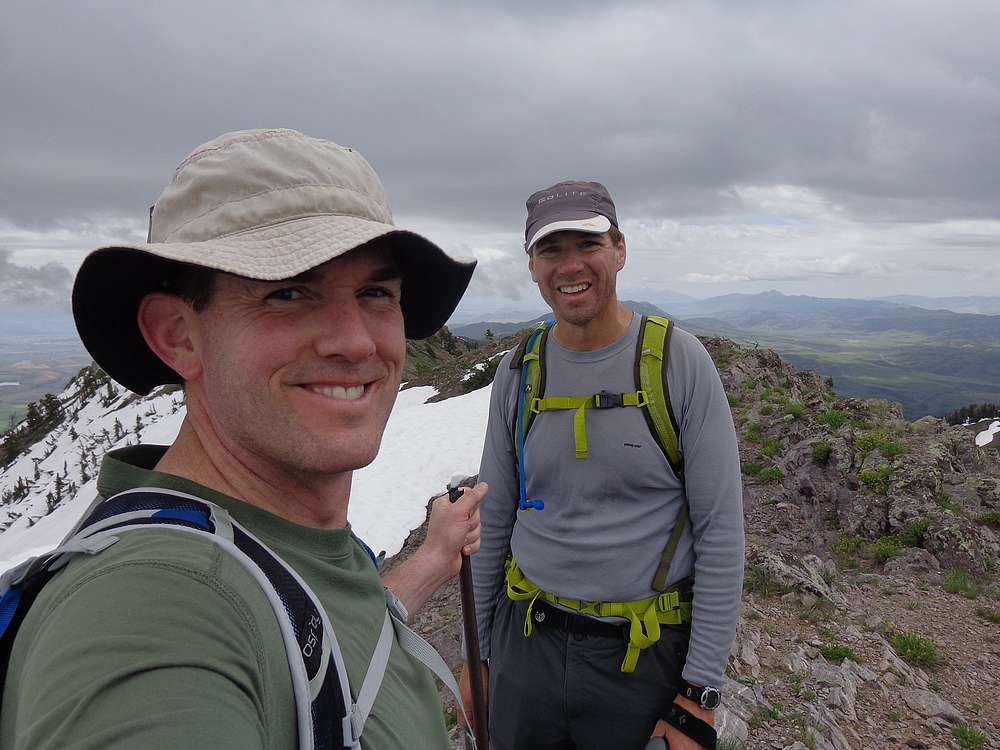
After crossing the Oxford Ridge highpoint, we dropped down to a saddle, and tried skirting around some lingering snowfields before beginning resuming the uphill hiking. We weren’t setting any land speed records on our fatigued legs, but the trail made for easy hiking, and soon enough we arrived at the summit of Oxford Peak. The south summit appears to be ever so slightly higher, with a large cairn and register box on the north summit.
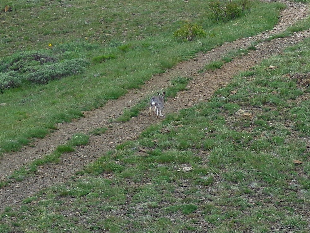
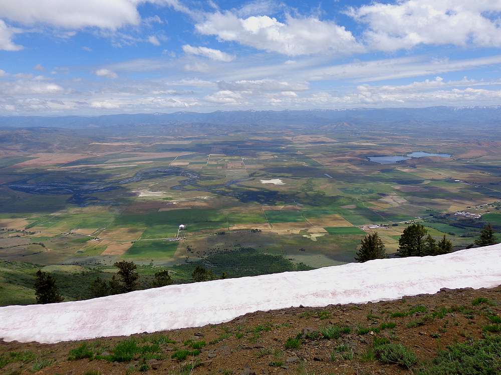
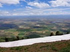
The summit provided some excellent views as we enjoyed a bite to eat before heading back. On the way down, we met another peak bagger (rare to have company on most Idaho mountain), and then quite a few folks on ATV’s and motorbikes later on. We also saw the biggest rabbit I’d ever seen!
We hike the last couple miles with the other hiker, and shared stories about mutual peaks we’d climbed. He and Michael had a shared interest in prominence peaks, and I enjoyed listening to them swapping advice.
Soon enough, we made it back to the car in Davis Basin and broke camp before making the long drive back to Boise. Stats for the hike were 2 peaks, 12.8 miles, 3800’ elevation gain in 6.5 hours of hiking. Oxford Peak was a nice hike in a new area, which is always a pleasure.
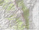
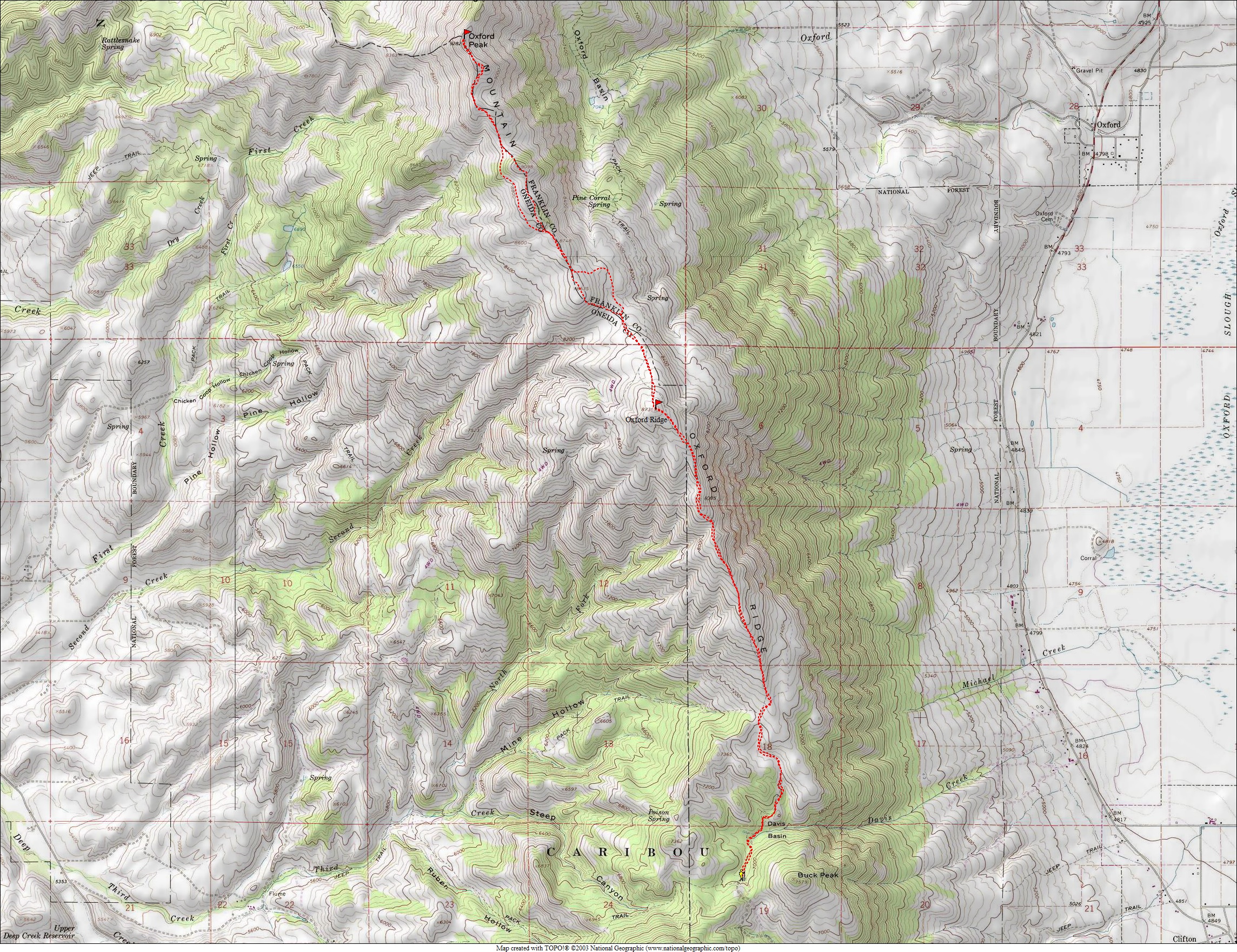
Map of our route, 13 miles and 3800' gain round trip. |
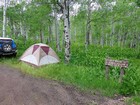
Trailhead camping at Davis Basin. |
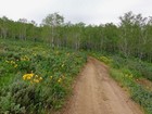
Start of the hike. |
Typical terrain along the way. |
Looing back south toward Davis Basin. |
Heading up Oxford Ridge. |
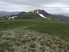
Oxford Peak to the north from Oxford Ridge. |
Cliffs on the east side of Oxford Peak. |
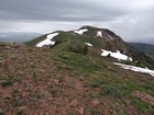
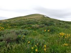
Oxford Peak coming into view. |
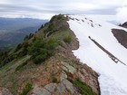
Trail section from the south summit to the north summit. |
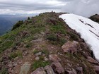
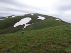
Nearing the north summit on Oxford Peak. |
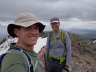
Oxford Peak summit shot. |
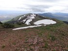
View south of the ground we would cover on the way back. |
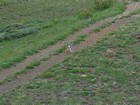
Huge rabbit! |
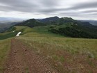
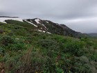
View east from Oxford Ridge during the hike back. |
|
|
|