|
Snowslide Peak
Elevation 8522'
Snowslide Peak is located in the Lick Creak Range, in central Idaho not far from McCall. It is one of several mountains in the area that are accessible from Lick Creek Road. The Lick Creek Range is the largest of the Salmon River sub ranges, and is home to good hiking, scrambling, and scenery. Snowslide Peak provides all of these.
I decided to play hooky from work, and Splattski was nice enough to invite me up to his stomping grounds. Our original plan was Sawtooth Peak, but icy roads and a fallen tree compelled us to stop short. Splattski knows his way around the area, and suggested Snowslide Peak via Golden Lake. I think he’s climbed this peak at least 10 times, so obviously one of his favorites.
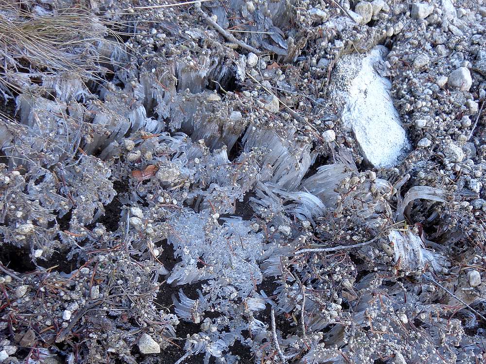
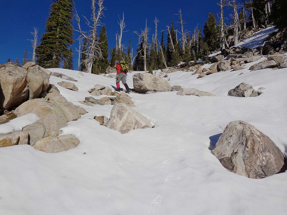
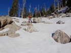
We hiked the road for a half mile, and then an overgrown road for a bit longer. Soon enough it was time to head steeply uphill via a “trail” that generally follows along the north side of the Golden Lake outlet stream. It was a cold morning, and there was a ton of ice on the rocks along the faint trail. The ice looked neat, but made for some tricky climbing in places. Fortunately, John’s dog Ruby was a good guide.
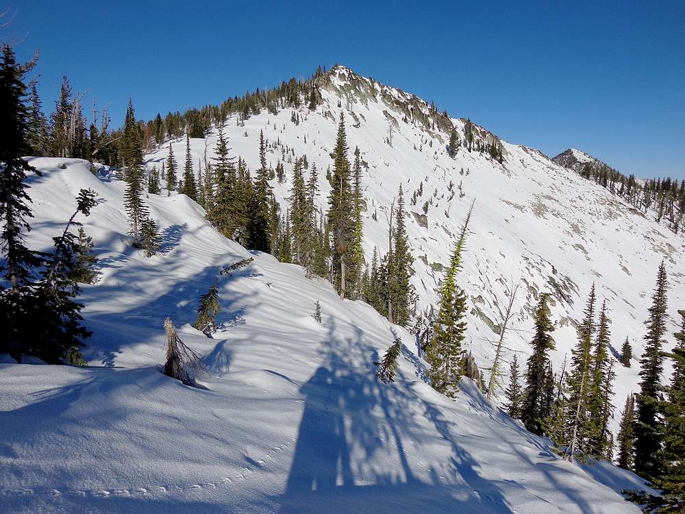
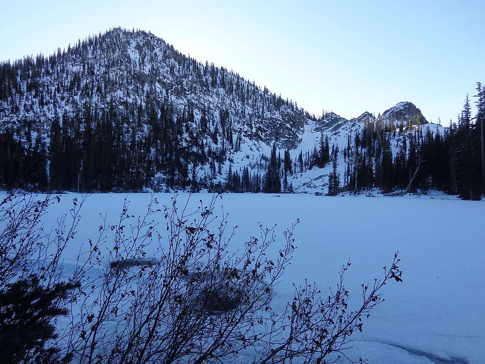
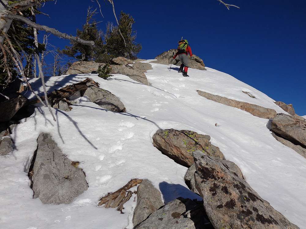
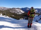
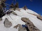
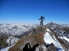
After about 2000’ of vertical, we arrived at Golden Lake. The frozen lake was very pretty, but we didn’t linger long before heading upward. A little higher up, John put on his crampons, Ruby’s were built in, but I went without. The snow was very firm, but I still had pretty good traction. It wasn’t long before we reached the ridge and great views down on Maki Lake. The ridge had cornices starting to form, but was straightforward, with just a couple scramble sections. We made it to the summit without issue. But there are some cliffs, so John kept Ruby on a leash.
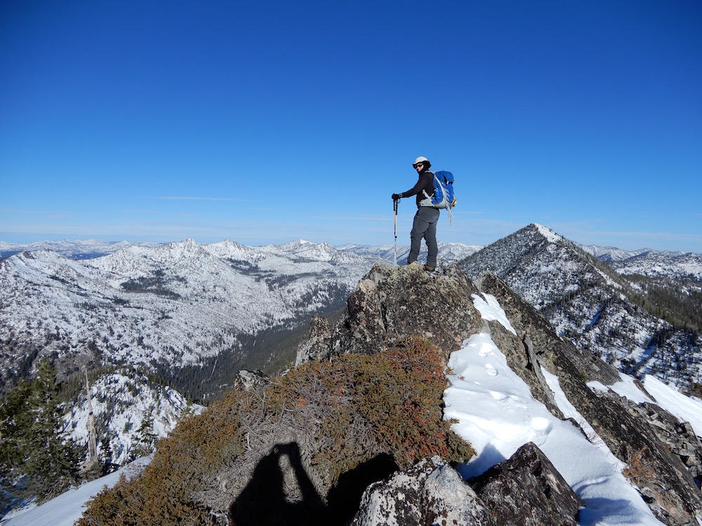
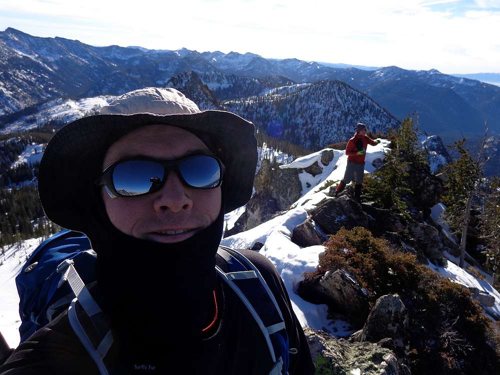
The summit of Snowslide Peak gave us some great views. I couldn’t get over how clear the air was on this cold early-winter day. The views were crisp and clear, and it felt like we could almost reach out and touch the surrounding mountains. We decided to bundle up and enjoy our lunch on the summit. Eventually, we decided to head back down, retracing our path back to the truck.
Round trip was just over 5 miles, 3000’ elevation gain, in 5 hours. A great day in the mountains with my good friend John. I need to play hooky from work more often!
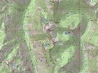
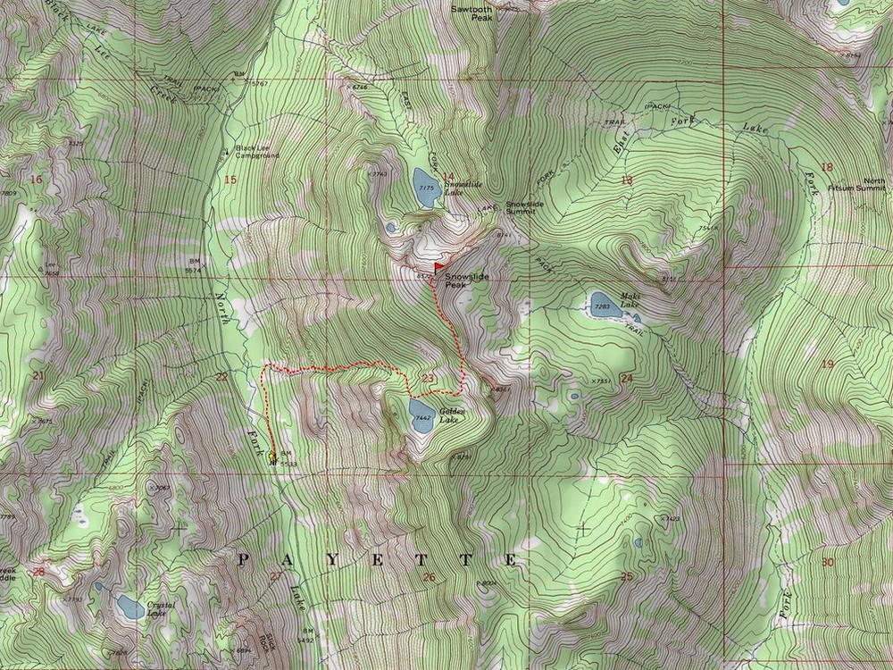
Map of the route, 5 miles and 3000' gain round trip. |
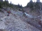
Steep hiking to reach Golden Lake. |
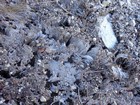
Hoar frost growing up under sand and pebbles on the trail. |
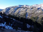
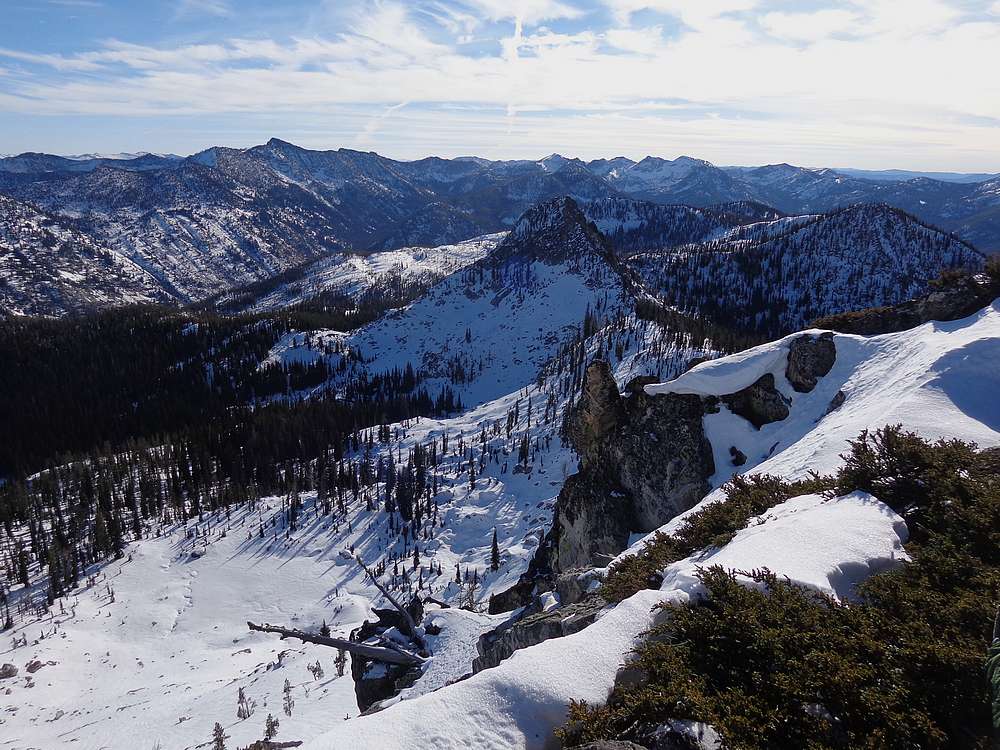
Good view of Slickrock to the southwest. |
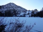
Golden Lake frozen over. |
Climbing toward the ridge. |
Maki Lake from the ridge. |
Making our way up. |

First open view of Snowslide Peak from the south. |
Dave on the summit of Snowslide Peak. Splattski photo. |
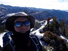
John and I on the summit of Snowslide Peak. |

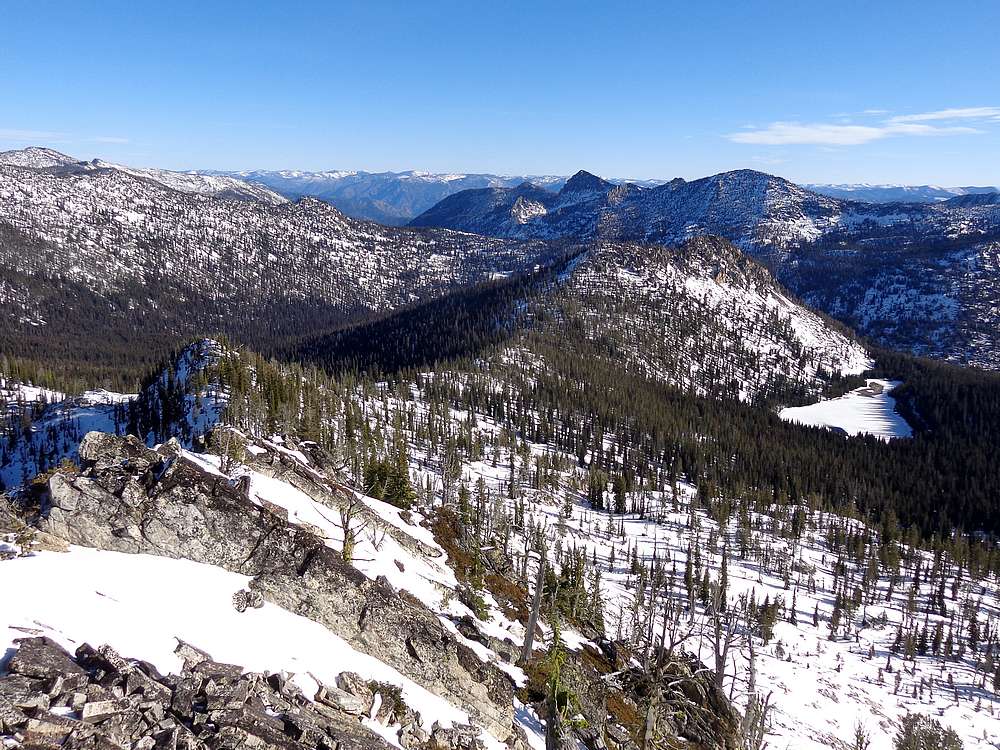
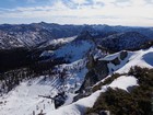
Snowslide Peak summit view of Fitsum Peak to the east. |
Looking down on Snowslide Lake to the north. |
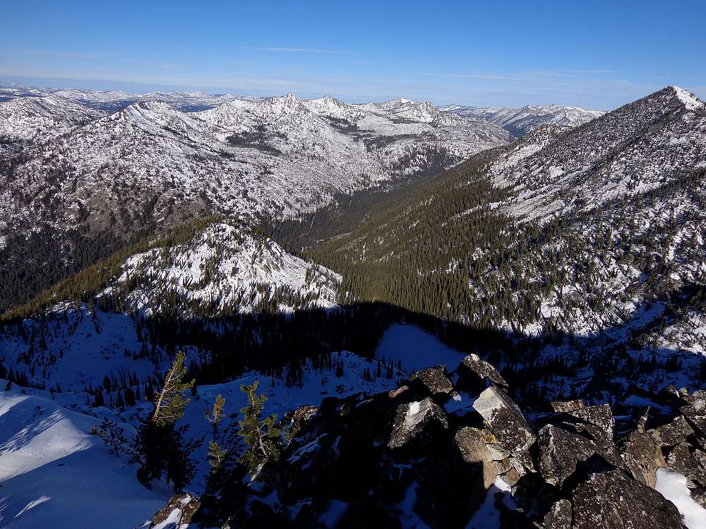
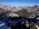
Summit view looking south. |
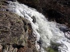
Partially frozen creek on the way down, |
|
|
|