|
Grays Peak and Torreys Peak
An excellent adventure climbing two Colorado 14ers in December
Grays Peak and Torreys Peak are a pair of 14,000 foot tall mountains located in Colorado’s Front Range. The two peaks are joined by a fairly short connecting ridge, so they are often combined into the same outing. Only an hour’s drive from Denver, these two 14ers are likely the most climbed mountains in the state. But just because these peaks are popular, doesn’t mean they’re easy. They aren’t technically challenging, but most will find the hike pretty strenuous.
I was on a work trip to Denver and took advantage of the opportunity to see family in the area the night before, and then planned to tackle Grays and Torreys the next day. Then suddenly the forecast that had been predicting clear skies, started mentioning up to 12” of snow accumulation the night before. What!?!? But fortunately when I checked the nearest SNOTEL site at 5am the morning of the climb, only two inches had fallen. So I decided to stick with plan A and it was game on!
Based on conditions I’d read, I expected to have to start down at the I70 trailhead, 3 miles below the summer trailhead at Stevens Gulch. But when I got off the freeway, the road looked like it was worth a try. (I’d scored a 4WD pickup thanks to a rental car snafu that had worked in my favor.) No one had driven in the fresh snow yet, but it looked like it would be worth a shot. And after driving 2 miles up the road, I was feeling great, having shaved a total of 4 miles off what was going to be a strenuous day.
I hiked the first mile on the snow-covered road, then made it to the trailhead and across the bridge. There were no tracks on the trail yet, so I would have the normally busy trail to myself today. I’d read that the trail was snow-covered but well-traveled prior to the new snow. I was able to stay on the trail for the most part as I headed up the valley. Higher up, snowdrifts made it a little more challenging to stay on route, but it was open country so I was not worried.
The peaks came into view in the upper valley. I lost the trail for a while, then found my error and regained the trail just in time to start making my way up the north slopes of Grays Peak. There was some side-hilling at around 13k where crampons would have been nice, but not bad conditions overall. Higher up I lost the trail again, and decided to just head for Gray’s east ridge. I felt strong for the most part, but was definitely feeling the altitude, so the final 500’ of gain was slow going. It had taken me 4 hours to reach the summit, not bad considering the conditions.
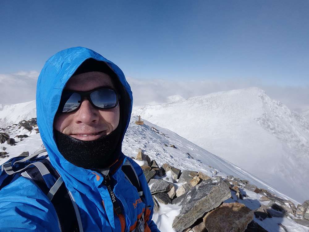
I was greeted on the summit of Grays Peak by blue skies and a steady breeze. With temps in the single digits, I didn’t linger long before heading north toward Torreys Peak. Descending the north ridge of Grays was straightforward, but the winds really started picking up as I neared the saddle. I forged slowly onward from there, up the south slopes of Torreys Peak. Between the altitude and fatigue setting in, I felt like I was moving slowly.
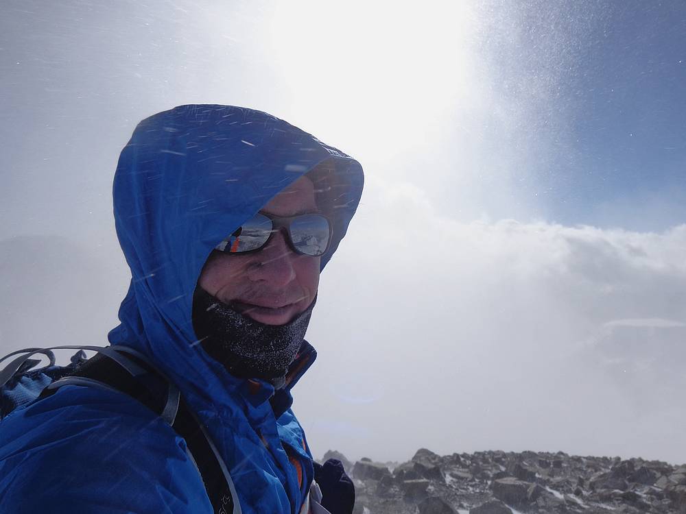
By the time I made it to the summit of Torreys Peak, the skies were still blue, but the wind was really howling. I would guesstimate steady winds of 20 mph, with gusts much stronger. But I was well clothed, and didn’t feel too cold unless I faced the wind.
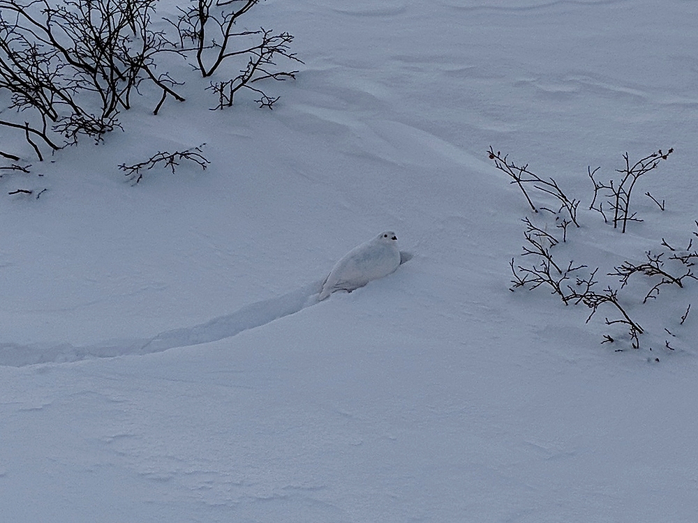
Once the novelty wore off getting blasted by the wind and swirling snow, I decided to head back down. Soon enough I was back at the saddle, and then making my way across the north slopes of Grays until I regained the main trail. From then on, I kept moving at a steady pace back to the car. The only stop on the way down was for some birdwatching to check out a rare White Tailed Ptarmigan that hopped across the trail in front of me.
Round trip was just over 10 miles and 4000’ elevation gain in just under 8 hours. I was super excited about the successful adventure. Climbing two Colorado 14ers in December, and having the two mountains to myself, was an unexpected treat.
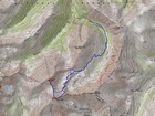
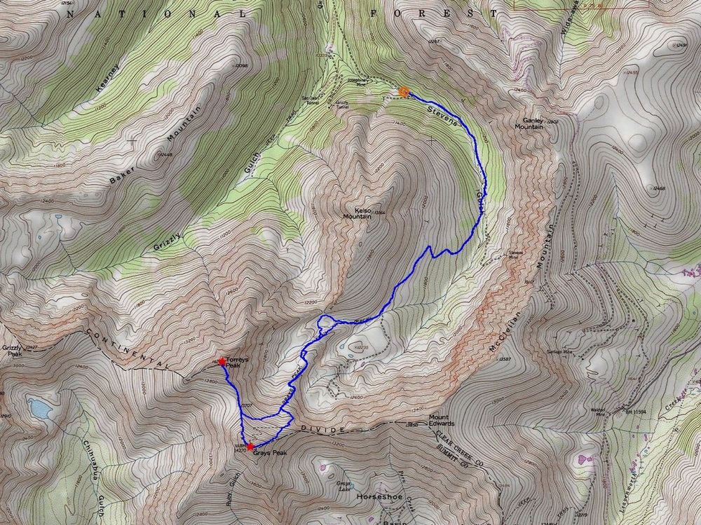
Map of the route, just over 10 miles and 4000' gain round trip. |
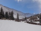
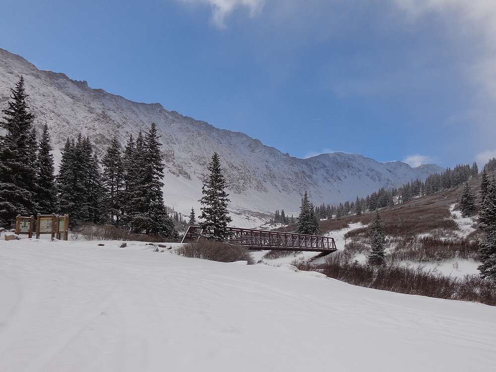
Stevens Gulch trailhead, after a mile of snowy road hiking. |
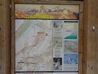
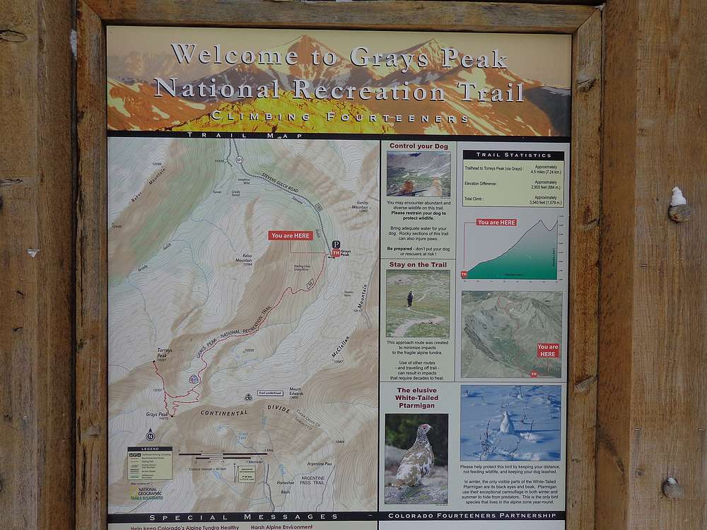
Stevens Gulch trailhead sign. |
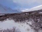
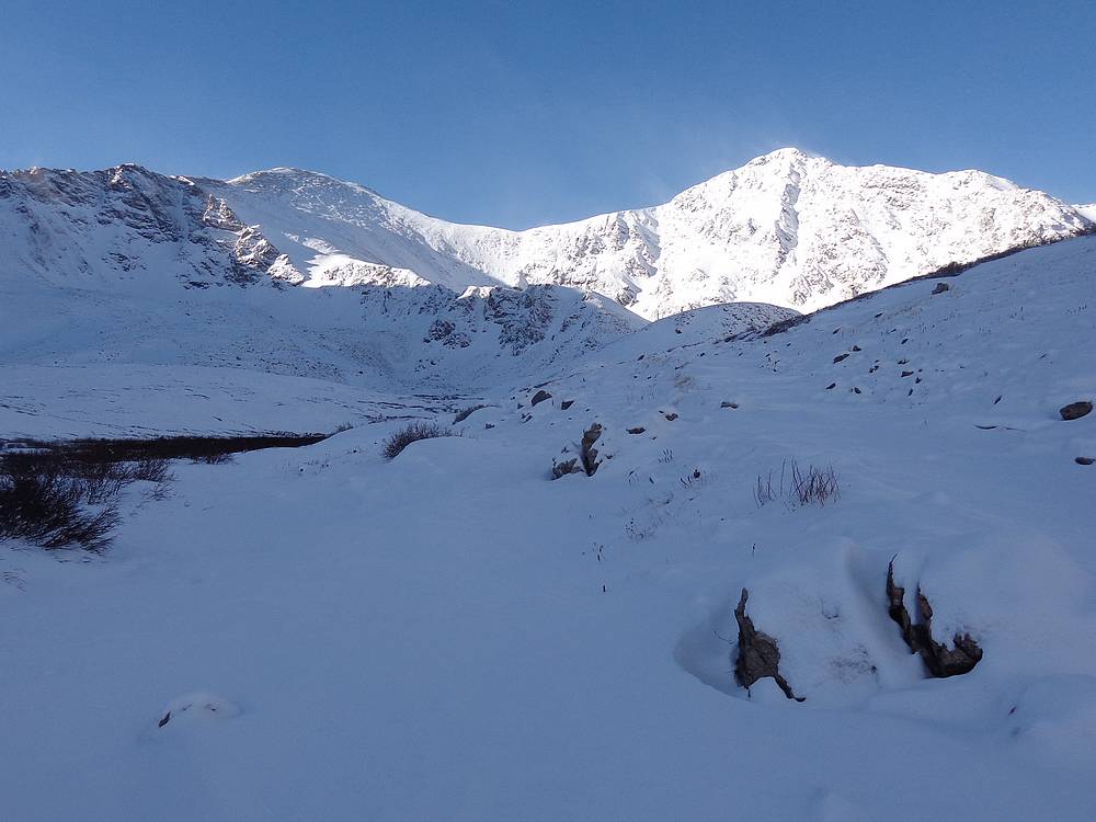
First good view of Grays and Torreys. |
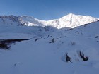
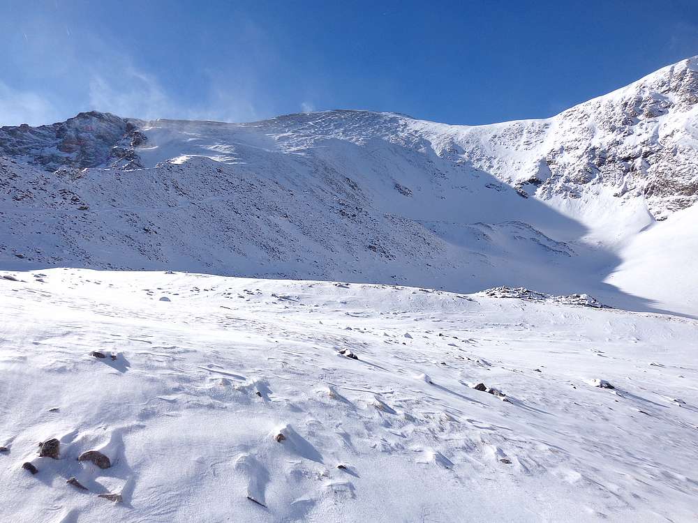
Grays Peak and Torreys Peak covered in fresh snow. |

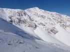
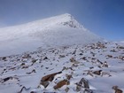
North slopes of Grays Peak. |
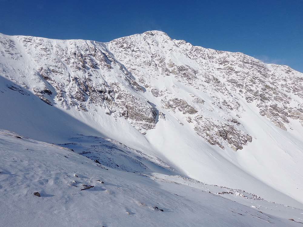
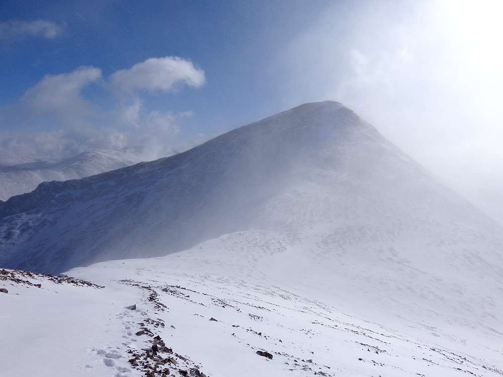
Impressive east face of Torreys Peak. |
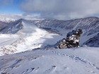
View back down Stevens Gulch from the north slopes of Grays Peak. |

Torreys Peak from the north slopes of Grays Peak. |
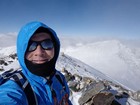
Grays Peak summit shot. |
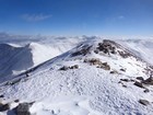
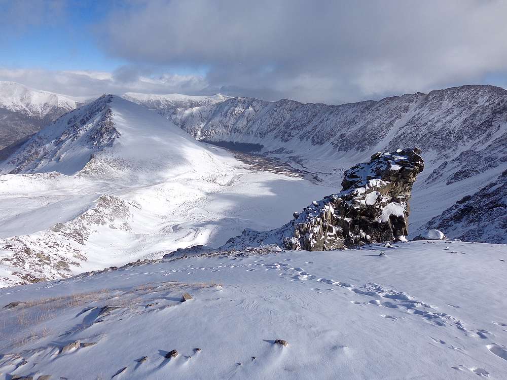
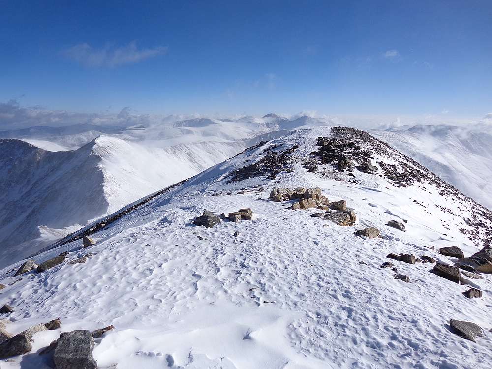
Leaving the summit of Grays Peak, Mount Edwards on the left. |
Looking back on Grays Peak from the south slopes of Torreys Peak. |
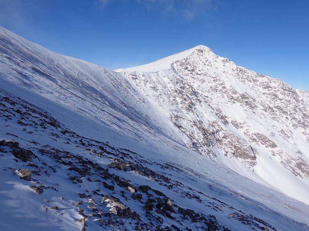
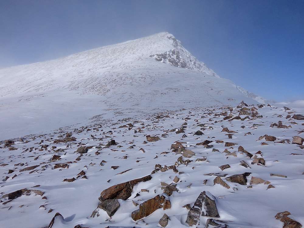
View up the south slopes of Torreys Peak. |
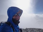
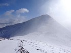
Getting blasted by snow on the summit of Torreys Peak. |
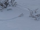
White Tailed Ptarmigan near the trail during the hike down. |
|
|
|