|
Smoky Mountain
Elevation 7580'
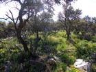
Smoky Mountain is located in southcentral Idaho’s Albion Range, just east of the City of Rocks National Reserve, near the town of Almo, not far from the Utah border. In spite of 1400’ of prominence, and great summit views, Smoky Mountain probably isn’t climbed very often. Its flanks are well guarded by thick stands of juniper and mountain mahogany, which makes for an approach hike that is somewhat unappealing. That being said, winding through the brush is an interesting adventure all on its own, and the views from the top are rewarding.
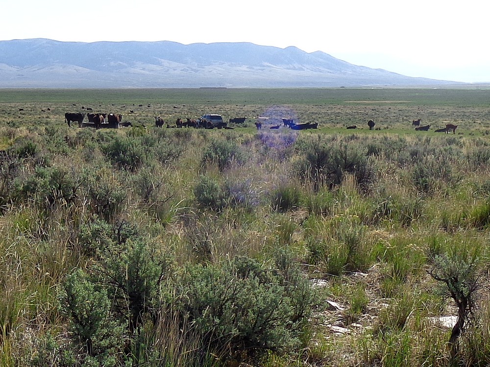
My wife and I were visiting Almo and the City of Rocks on an anniversary getaway. I woke up early, and wanted to hike up a peak nearby so I could be back in time for breakfast. Smoky Mountain was les than 10 minutes from where we were staying. I drove south until I was due east of the summit, then parked at a cow watering trough not far from the road.
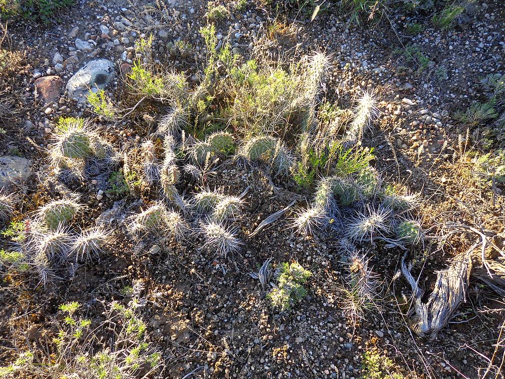
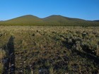
After a brief hike through the sagebrush, I entered the forest and began winding my way through the brush, looking for the path of least resistance. The unique vegetation included prickly pear cactus amongst other things, so I had to watch my step. The views finally started opening up a bit around 7000’, and it wasn’t long before I was standing on the summit.
The views from the summit were very nice. I snapped a few photos and then picked a bouquet of wildflowers for my wife before heading back down. I took a different route for the descent, and headed down the south ridge. I was looking for a little variety and maybe some relief from the brush. On the bright side, I did get some variety. But the brush was actually thicker. As it turned out, the descent took almost as long as the climb up.
With limited views to get my bearings on the way down, I set my sights on a saddle on a distant ridge to keep my trajectory straight, and was able to navigate back to the car, where I was greeted by a herd of cows hoping for breakfast. Round trip was about 5.5 miles, 2400’ elevation gain, in just under 3 hours.
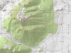
Map of the route, just over 5 miles and 2400' gain round trip. I went counter-clockwise. |
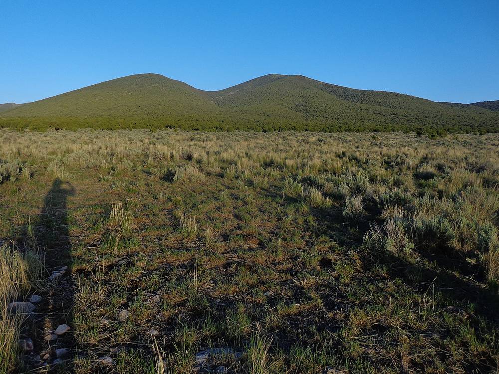
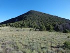
Smoky Mountain (right) at start of hike. |
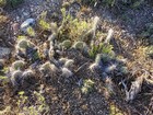
Cactus was abundant, watch your step. |
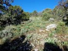
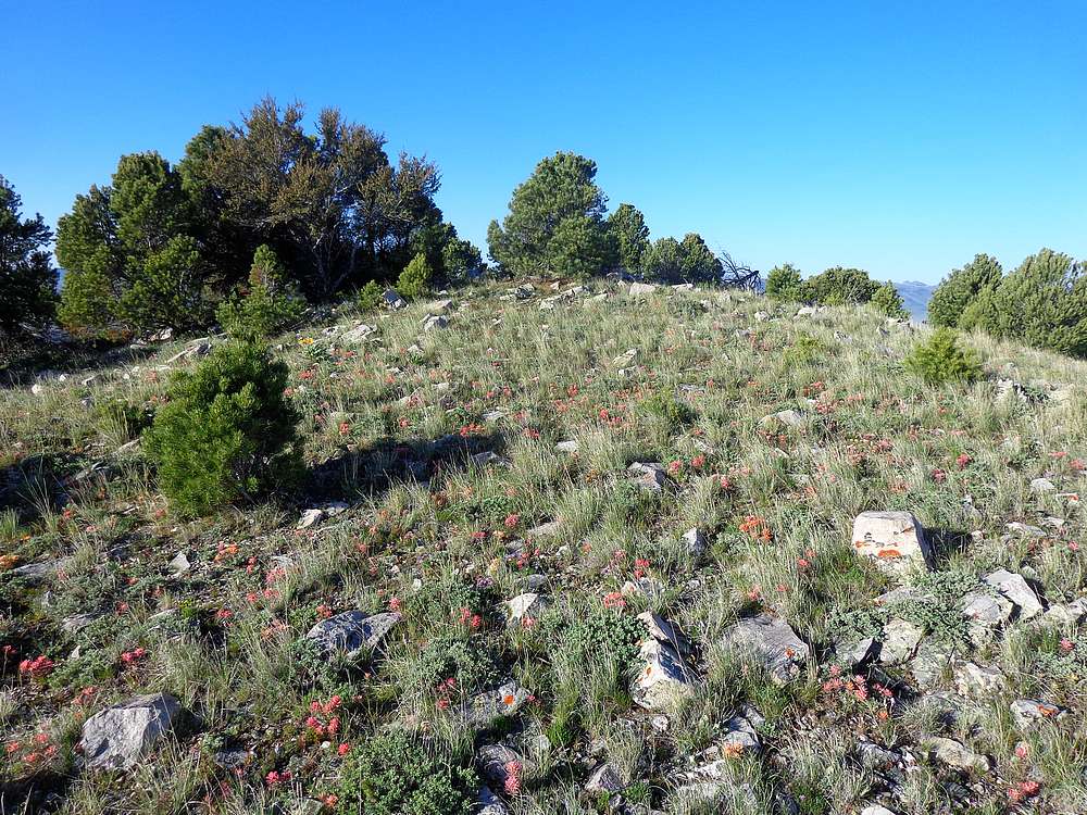
Rare break in the shrubbery action on the way up. |
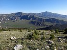
City of Rocks, Graham Peak, and Cache Peak from Smoky Mountain. |

Smoky Mountain summit area. |
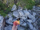
Summit cairn and wildflower bouquet for my wife. |
Looking back on Smoky Mountain from the saddle to the south. |
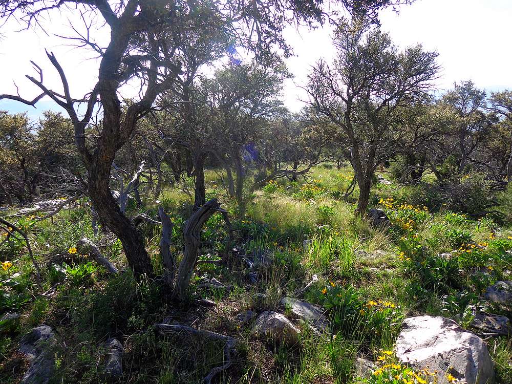
Shrubbery starting to thin during the hike down. |
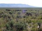
Greeting party back at the car. |
|
|
|