|
Cache Peak
A great hike to the highpoint of the Albion Range
Cache Peak is the highpoint of southern Idaho’s Albion Range, and is the highest peak in Idaho south of the Snake River. It’s a prominent mountain, visible from a long distance in many directions, which makes it pretty enticing to climb. And its prominence of over 4000’ feet provides for some amazing views in all directions. Combining Cache with nearby Mount Independence makes for a great day.
I left Boise at 6am, and was on my feet and hiking by just after 9:30am. The last couple miles to the west side trailhead at the end of NF road 562 requires a high clearance vehicle, and I was able to get to within a mile of the trailhead before getting stopped by snow.
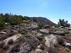
It was a beautiful cool June morning. After a quick hike down the road to the summer trailhead, the trail took me up the hill toward the saddle between Cache and Independence. At some point I lost the trail, but just continued on a direct line toward Cache. I zigzagged through some low sagebrush, then through some trees, dodging slushy snowfields, before finally doing a little boulder hopping leading up the highpoint.
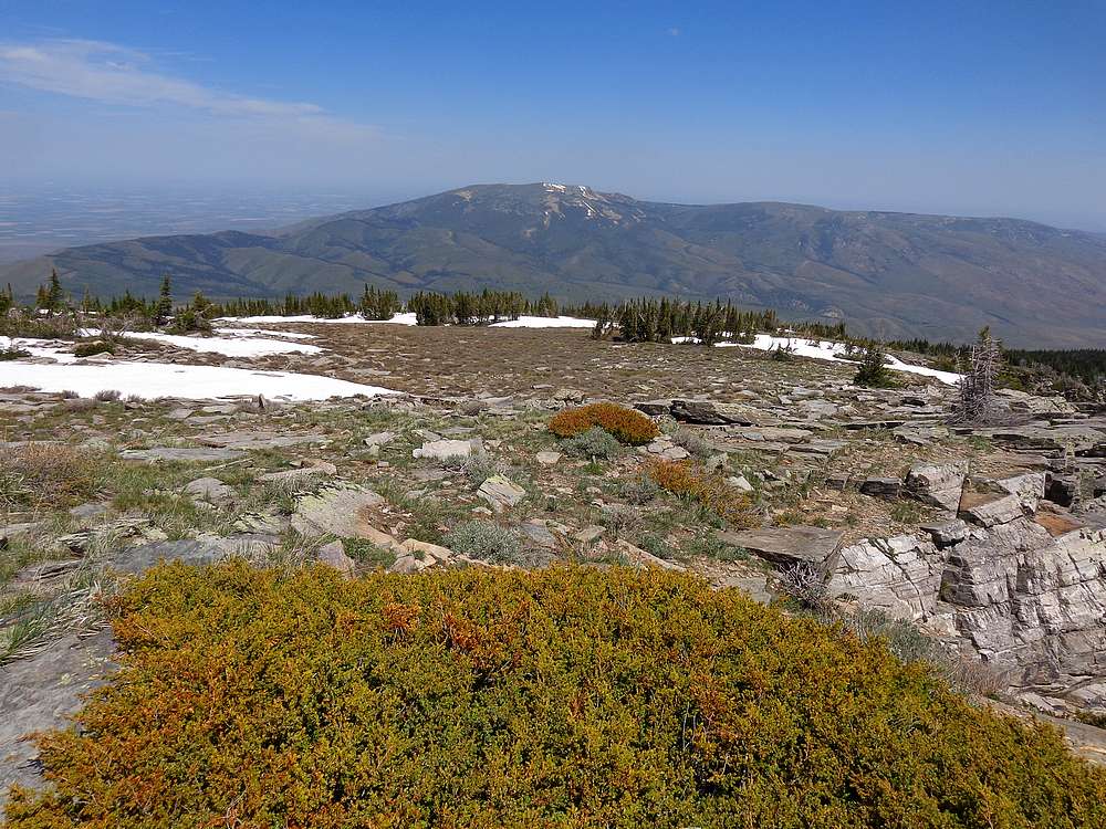
The summit of Cache Peak offers some commanding views of Castle Rocks State Park and City of Rocks National Reserve. Plus the distant views were pretty outstanding as well. After signing the summit register and snapping some photos, it was time to head toward the next objective for the morning, Mount Independence.
My descent from Cache Peak was slow going, mainly due to trying to find firm snow and in order to avoid filling my boots with slush. Results were mixed, and I was glad to finally reach the saddle between the two peaks. Fortunately the snow along the south ridge leading to Independence was much firmer, and I was able to walk on top of the snow and make good time all the way up.
Surprisingly, there were two other people on the summit of Mount Independence, a couple from British Columbia taking a break from climbing in the City of Rocks. They were nice folks, and we chatted while enjoying the views and having a bite to eat. PB&J’s always taste so good while sitting on top of a mountain. But soon enough, I had to say goodbye and head down.
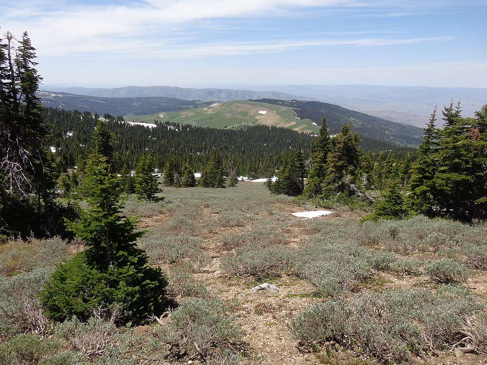
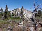
The descent from Independence went quick, and I headed south from the saddle before eventually finding the trail and following it back to the trailhead. After hiking back up the road the where I parked, I decided to hike a little further to tag the top of nearby Peak 8858’ (I’ll nickname it “Cache View Peak”). It wasn’t far from the road, but offered some great views of Cache and Independence. From there I just looped back to the car.
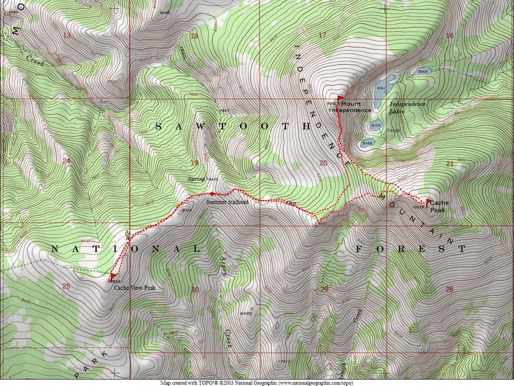
It was a great morning in the mountains, exploring new terrain. Round trip for the 3 peaks was just under 8 miles and 2600’ elevation gain in 4 hours. Next up, a short drive and then a hike to Graham Peak.
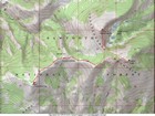
Map of the route, just under 8 miles and 2600' gain round trip. I went counter clockwise. |
Independence and Cache from near the start of the hike. |
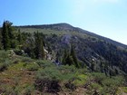
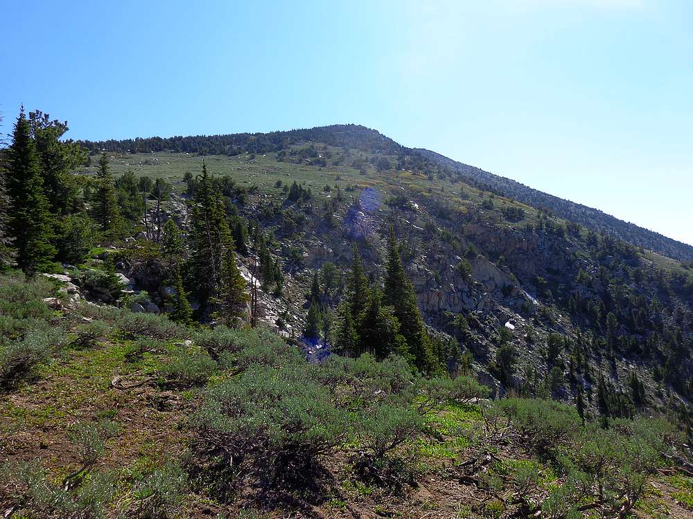
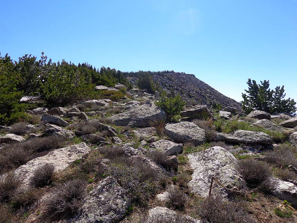
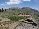
Cache Peak west ridge approach. |
Summit of Cache Peak coming into view. |
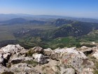
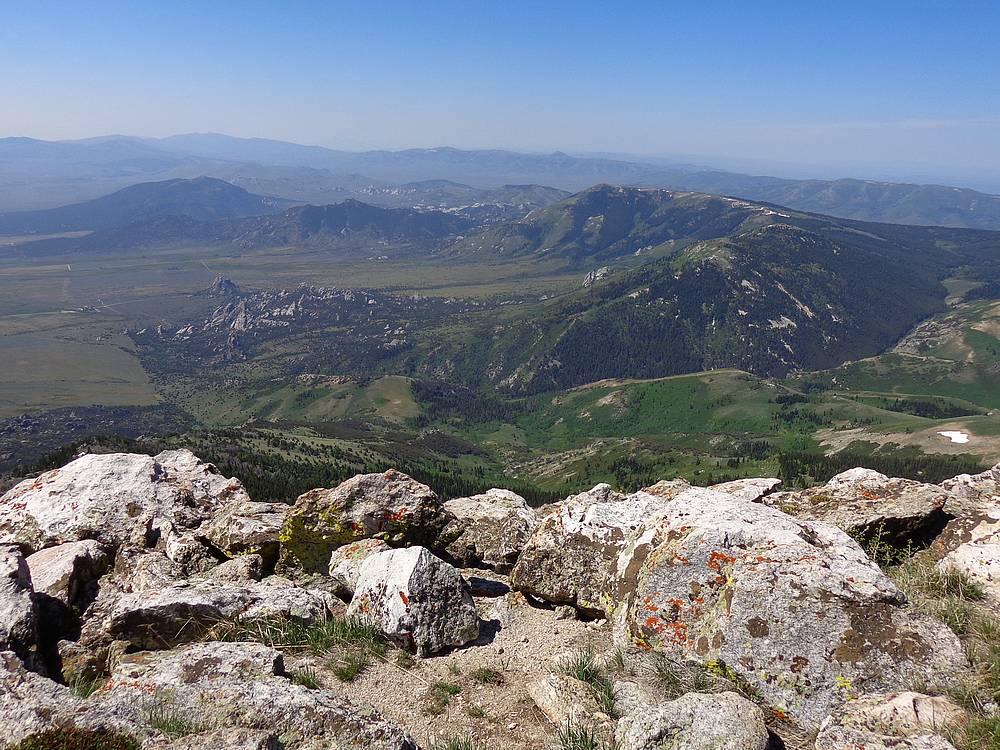
View of Castle Rocks and City of Rocks from Cache Peak. |
Mount Independence from near the saddle between the two peaks. |
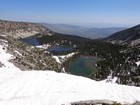
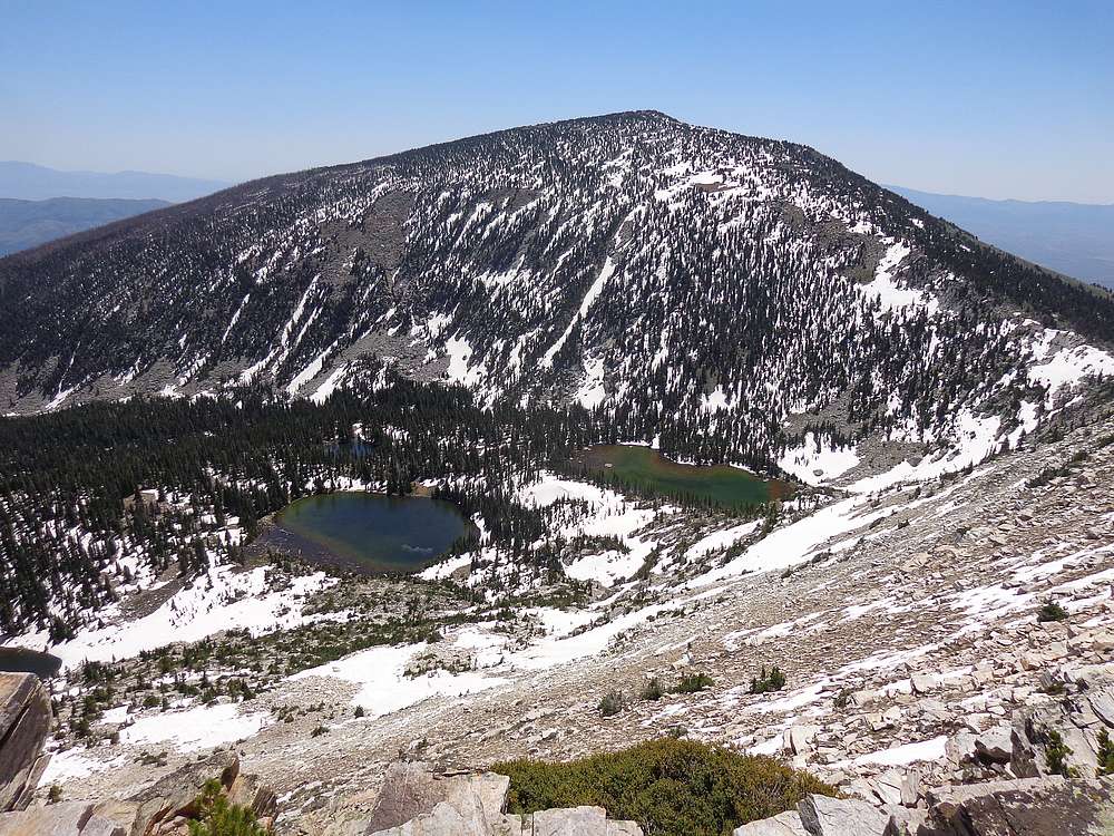
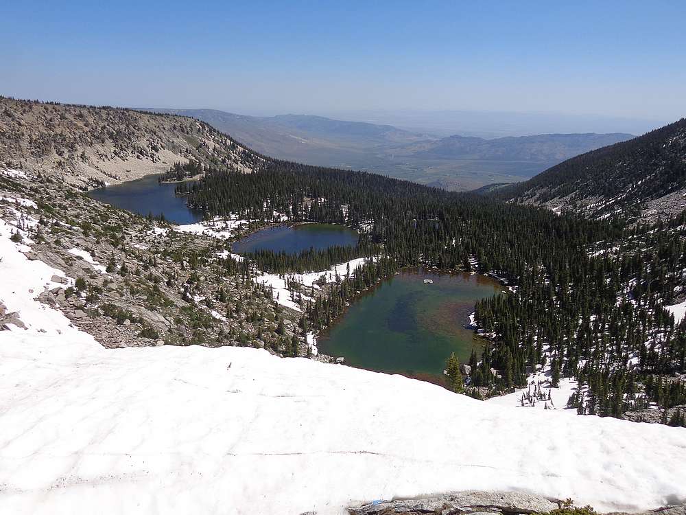
Looking down on Independence Lakes from the saddle. |
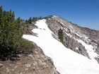
South ridge of Mount Independence. |
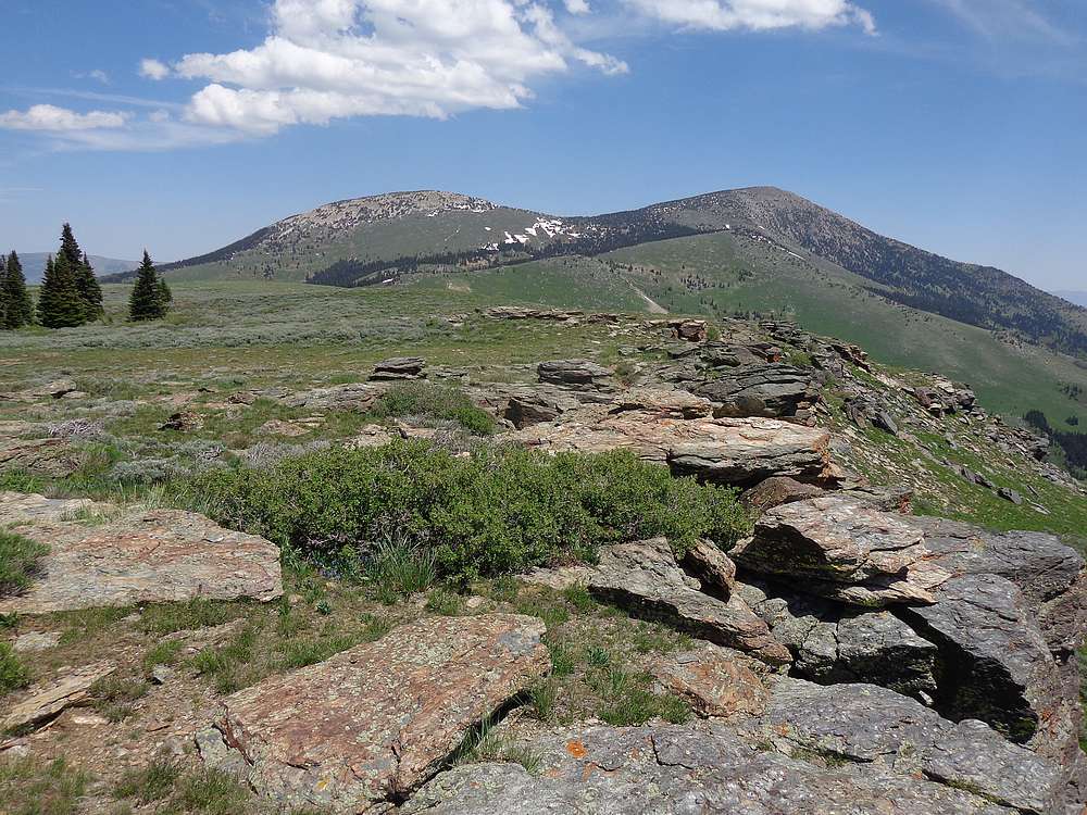
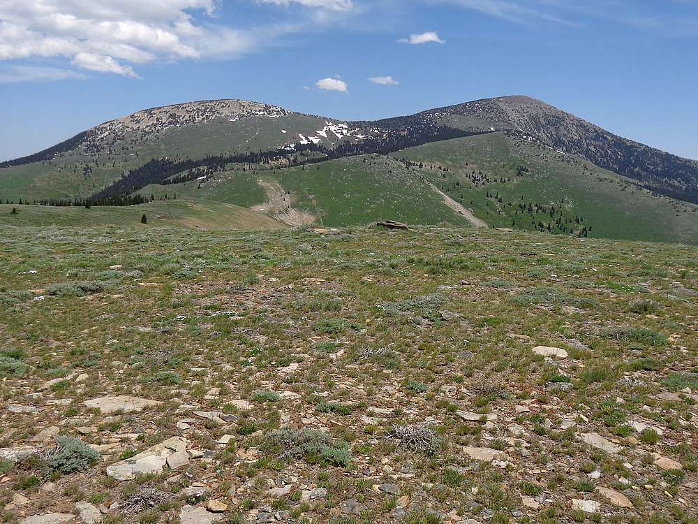
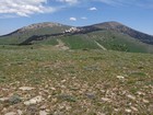
Mount Harrison from Mount Independence. |
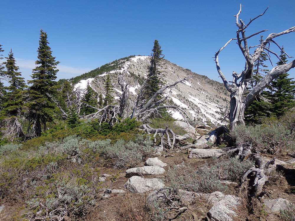
North face of Cache Peak above Independence Lakes. |

View back toward the trailhead. |
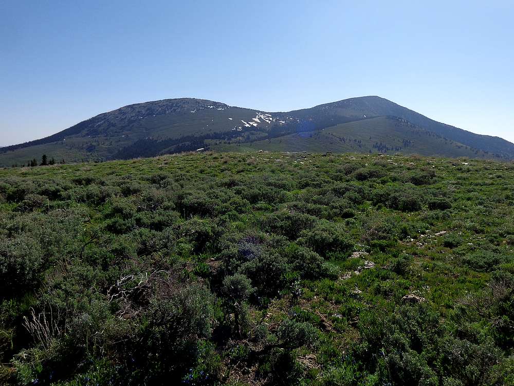
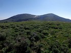
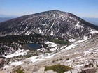
Independence and Cache from "Cache View Peak". |

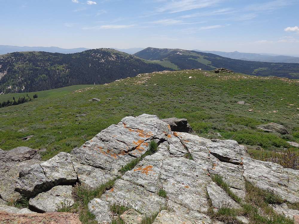
Graham Peak to the south, from "Cache View Peak". |
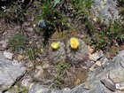
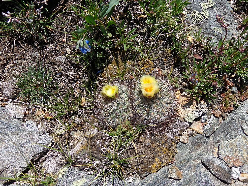
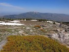
Prickly Pear cactus in bloom. |
A final view of Independence and Cache. |
|
|
|