|
Crazy Peak
Elevation 11,209'
Aptly named Crazy Peak is located in the Crazy Mountains of southcentral Montana. Crazy Peak is the highpoint of the range, and is the most “topographically prominent” mountain in all of Montana. That means it stands up really tall compared to its surroundings. The peak is crazy peak and rugged, and definitely a worthy mountain climbing destination. Most approach from the north, we tackled a lesser used route up the southeast ridge.
After a nice hike up Hollowtop Mountain, Crazy Peak was the next objective in our “Michael’s Awesome Peaks” road trip. Michael, John, and I did some adventurous driving to try and make our way the base on the southwest ridge, where the 4WD road crosses a saddle at 6900’. I’ll spare you the details, but don’t go via Swamp Creek... Eventually we made it, and just in time to get situated and do some stargazing as we drifted off to sleep.
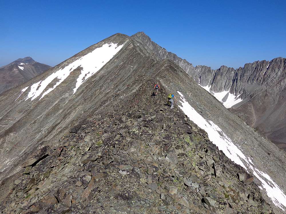
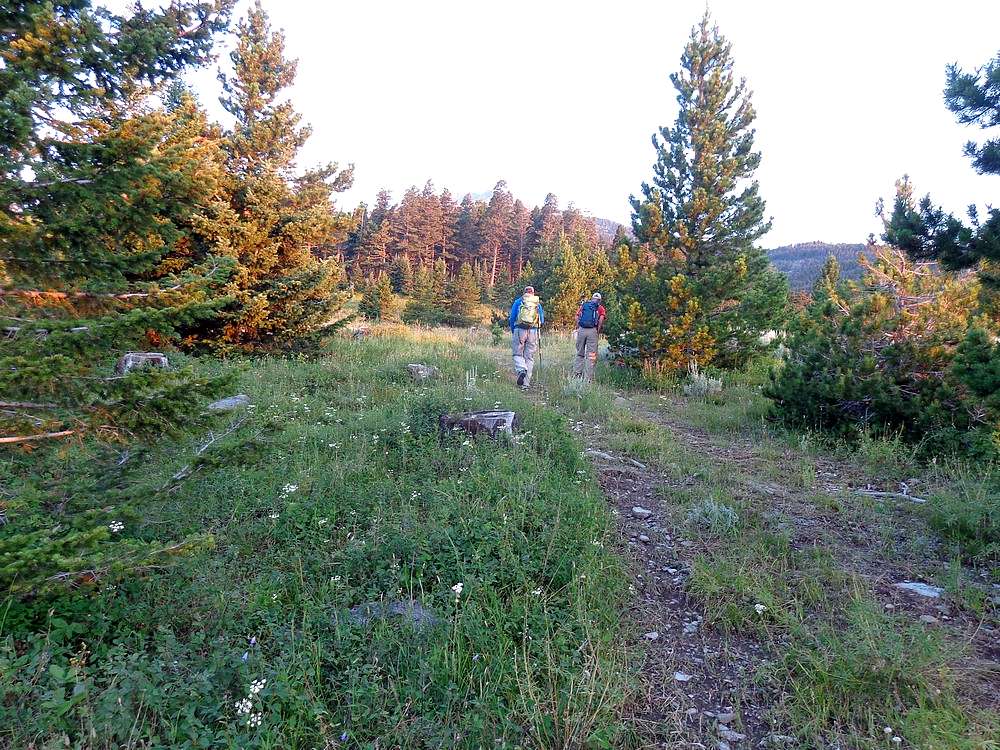
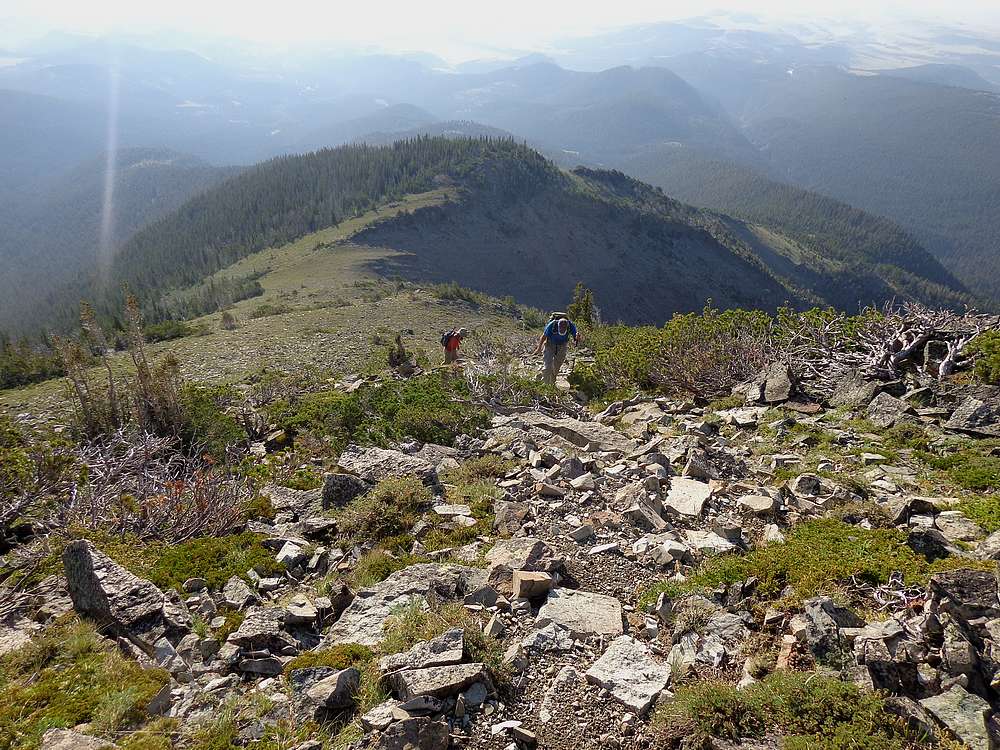
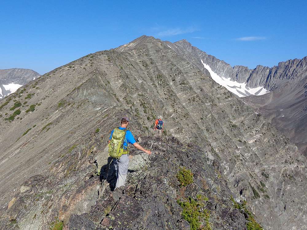
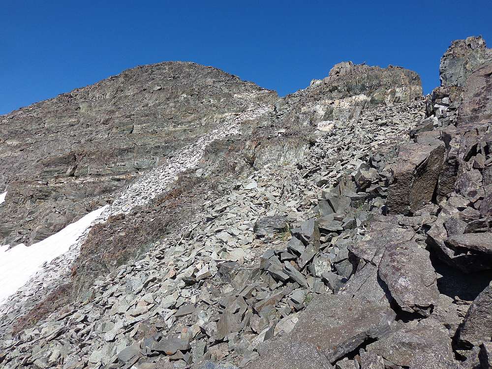
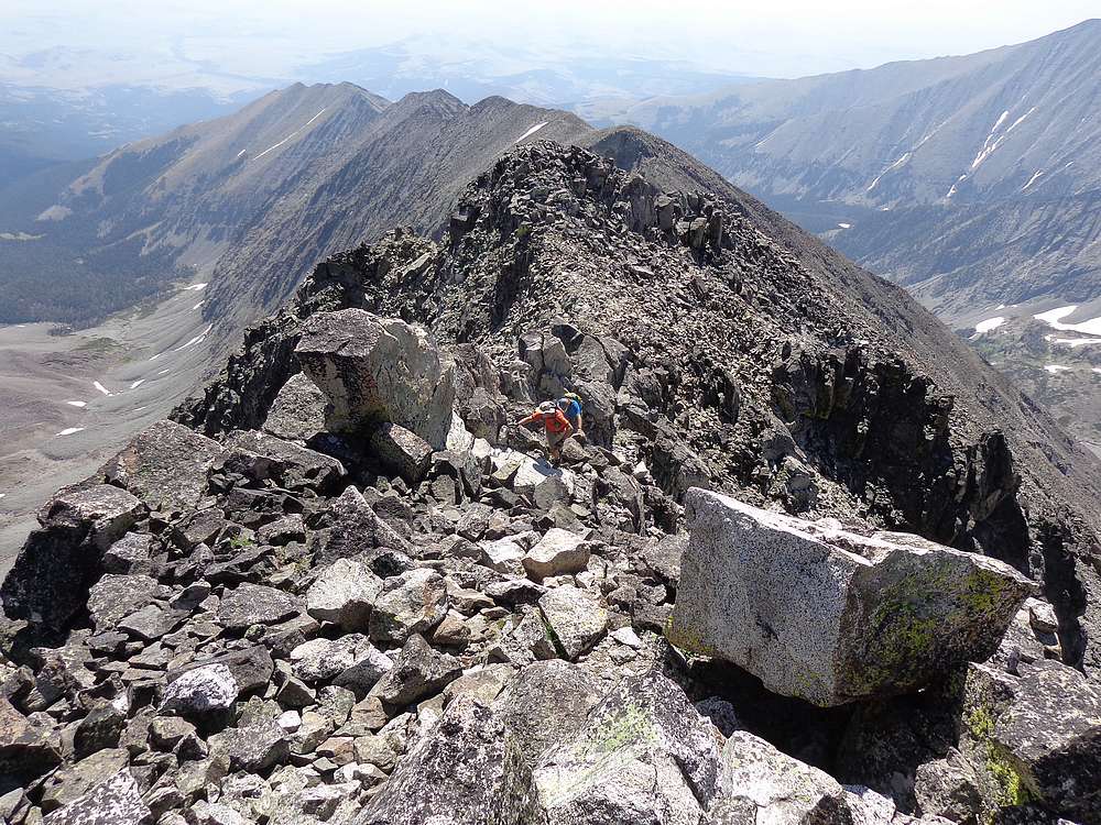
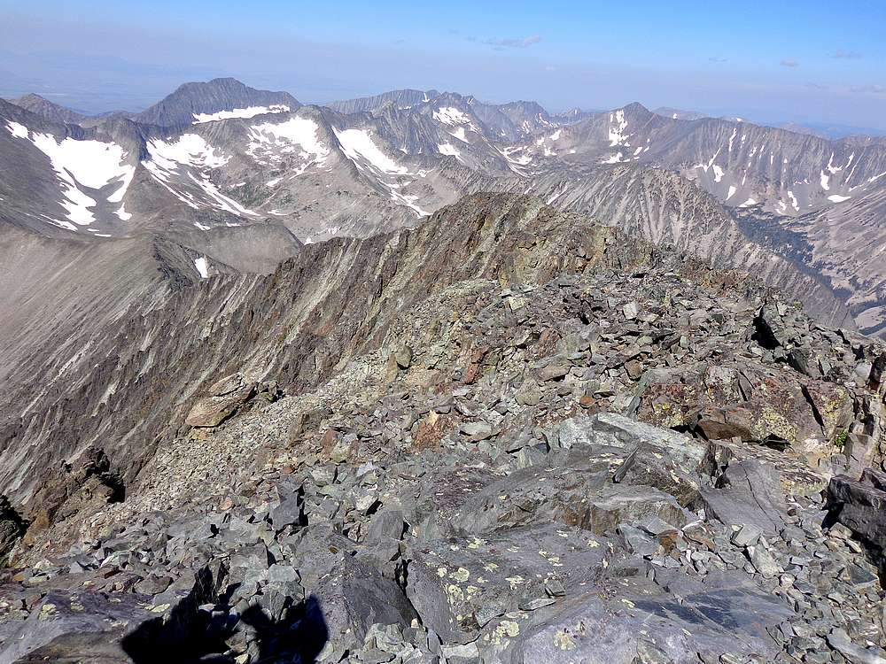
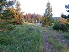
We hit the (cow) trail a little after 6am, and started making our way up through the trees. The views opened up by the time we reached the shelf at 7600’, and then even more once above Pt 8448’. From here we could see the summit in the distance, and there was a lot of ridge left to cover. We just kept grinding our way upward, with occasional undulations. Along the way, we paused briefly to check out a couple mountain goats above us. The higher we got, the more pronounced the ridge became, with some great scrambling and a few exposed sections along the way. But nothing harder than class 3.
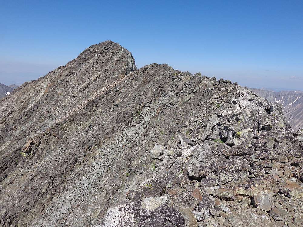
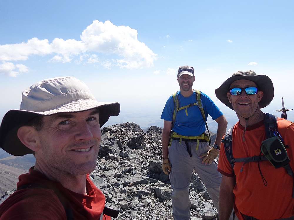
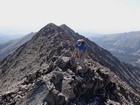
As we neared the summit, we had been having a great time on the awesome route, but there was a final section ahead that looked pretty spicy. We just kept moving up, and finally arrive at the summit. Wow, what a route! We enjoyed some lunch on the summit while taking in the views. Talk about crazy steep terrain…
But we couldn’t stay too long, since the only way back down would be to carefully retrace the ridge route back down. This took a long time, and our dogs were barking by the time we finally got back to the truck.
The southeast ridge had been a great route. Tons of sustained scrambling, amazing scenery, and perfect weather. Hard to beat. Round trip was just over 9 miles, 4600’ elevation gain, in 10 hours. Crazy! Next up, a hot shower in Worland Wyoming, gateway to Cloud Peak.
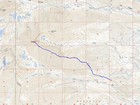
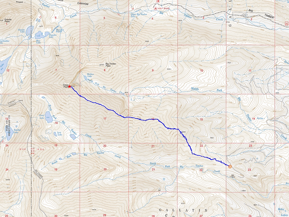
Map of the route, 9 miles and 4600' gain round trip. |
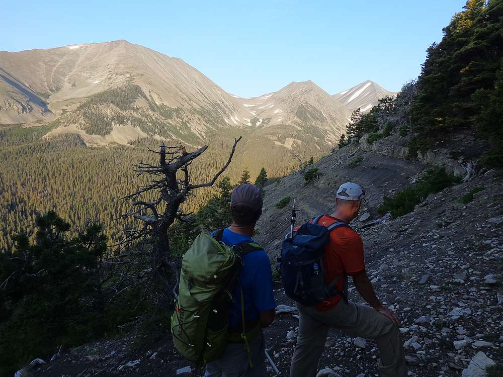
Start of the hike, at 6900' on the southeast ridge. |

Good view of the Crazies from low on the ridge. |
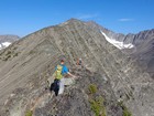
Heading up the lower portion of the ridge. |
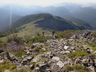
Lots more ridge between us and the summit! |
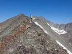
Looking back on the ground covered so far. |
On our way up the ridge. |
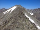
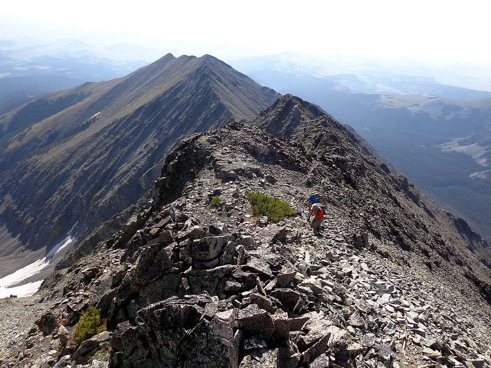
This ridge keeps going and going. |
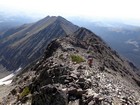
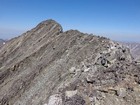
Staying on top of the ridge worked best most of the time. |

Occasional loose rock, but not bad. |
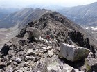
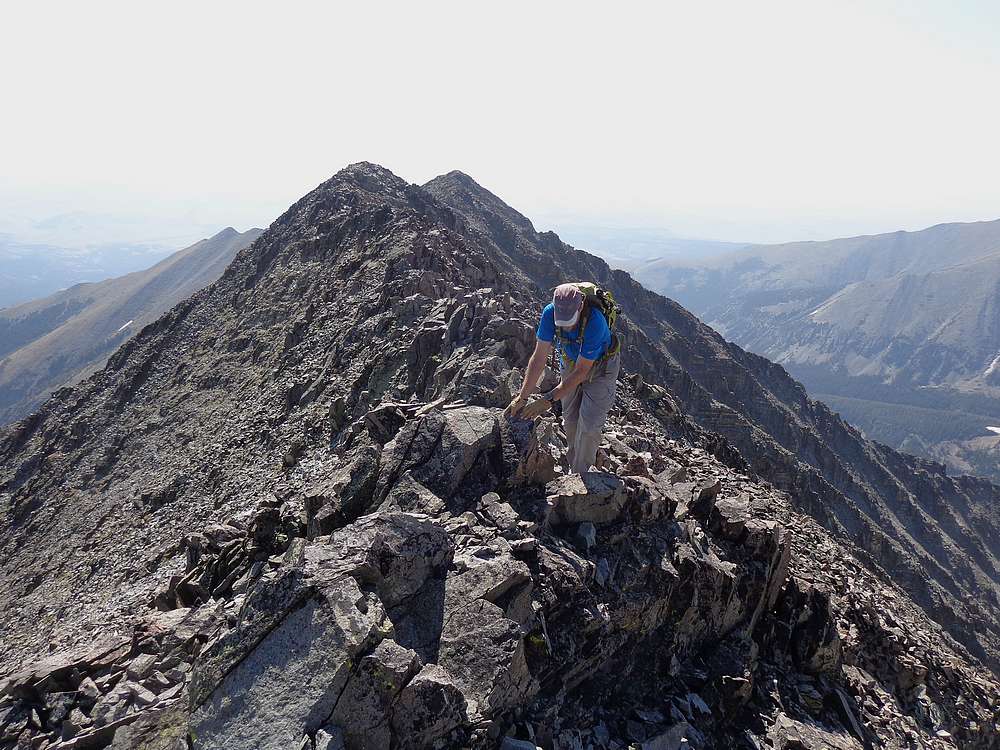
Still making our way up. We've covered a lot of ridge… |
Final crux section to the summit. |
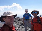
Crazy Peak summit shot, feeling good. |
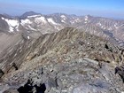
Crazy Mountains from the summit of Crazy Peak. |
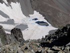
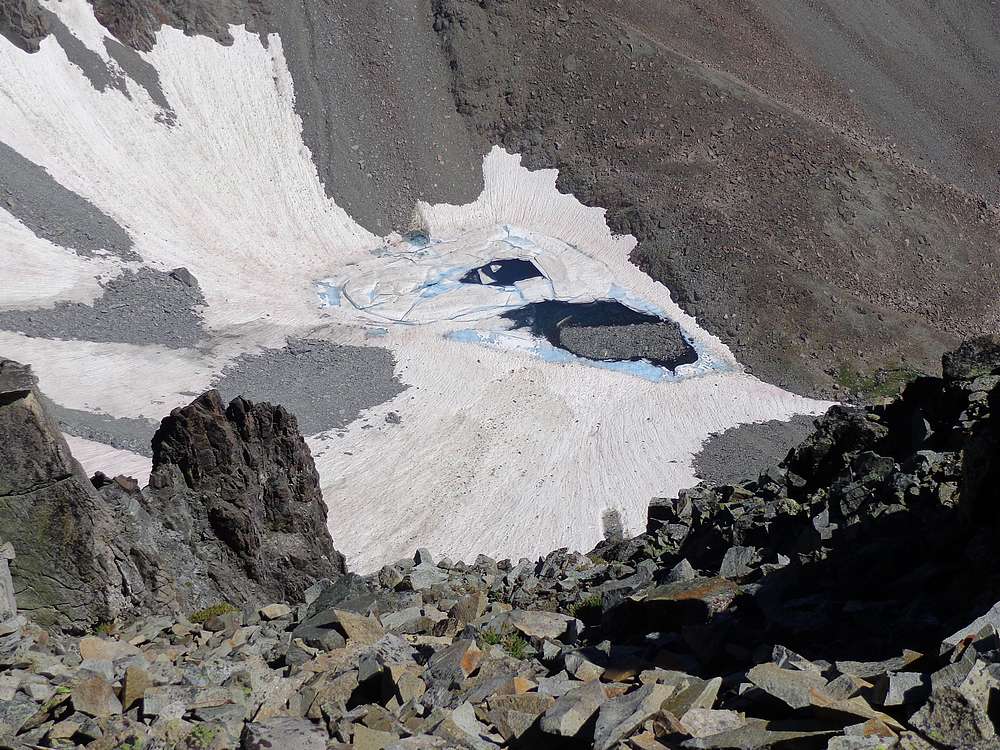
View down on Hidden Lake, northeast of the summit. |
|
|
|