|
Big Foot Butte
Elevation 3535'
Big Foot Butte is located in southwest Idaho, out in the desert near the Owyhee Mountains. It has the proverbial “middle of nowhere” feel, isn’t highly scenic, but does offer of up decent views overlooking the desert toward distant mountain ranges. It’s found within the Ada County National Guard Maneuver Area and the Snake River Birds of Prey Natural Area. Finally, it also one of only 9 “peaks” in Ada County with at least 300’ of prominence.
Big Foot Butte was on my list as the last remaining “peak” in Ada County that I needed to climb. With a sunny November afternoon to take advantage of, it seemed as good a time as any to tackle Big Foot Butte. It took me an hour to drive the road toward Swan Falls Dam, and then followed a maze of dirt roads to the south side of the butte. A high clearance vehicle and dry conditions are highly recommended.
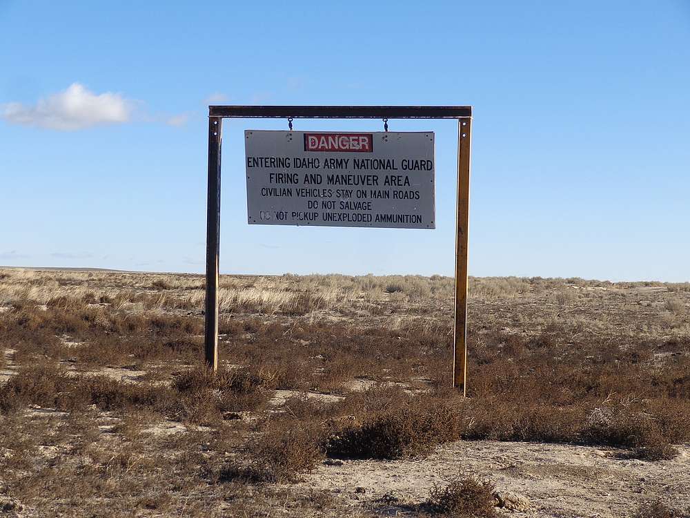
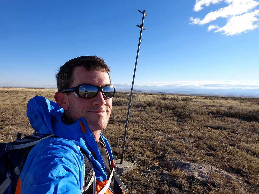
In spite of the warning sign about taking main roads while in the maneuver area, I took a faint road up the hill through the sagebrush. No sign of bigfoot along the way, but plenty of coyote and pronghorn droppings. I made it to the top in just under 30 minutes, stopped briefly to take in the views, and then headed back down.
On the way back, I took a more heavily traveled road that allowed for a loop back to the car. It was a little breezy, but the views of the snow covered Owyhees were nice. Round trip was about 3.5 miles, 400’ elevation gain, in just under an hour of hiking. Not too exciting, but good to be out breathing some fresh air.
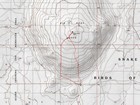
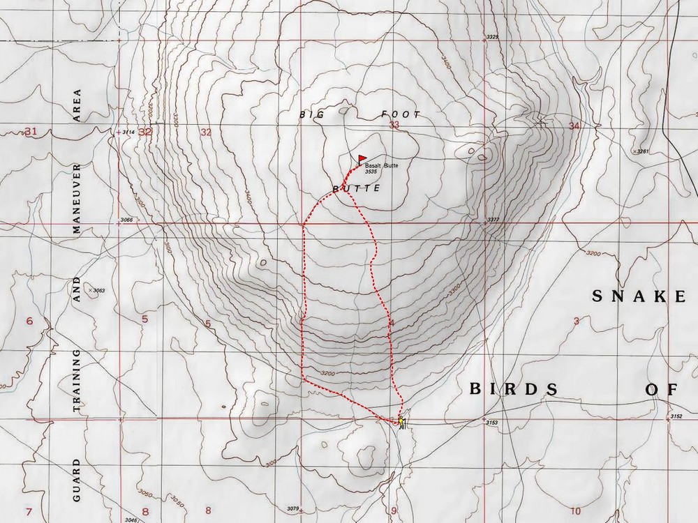
Map of the route, 3.5 miles and 400' gain round trip. |
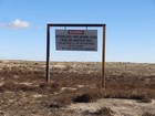
Warning sign. |
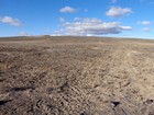
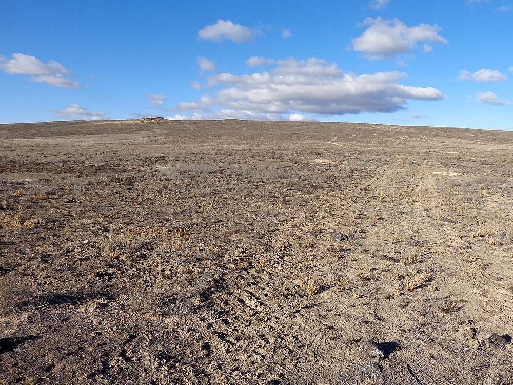
Start of the hike. |
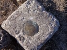
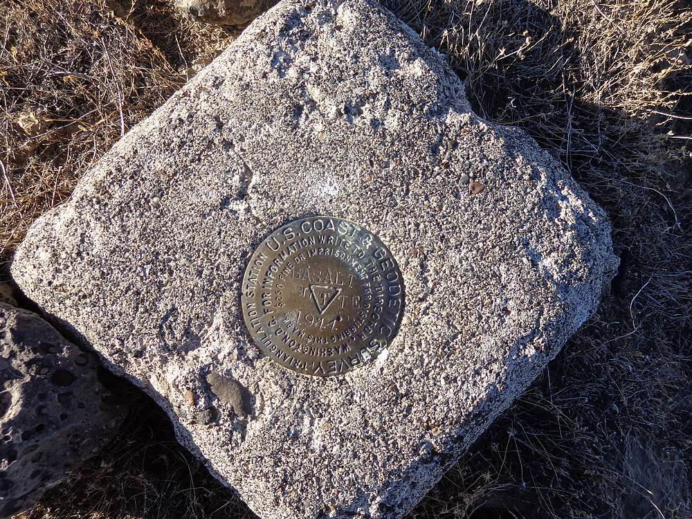
Summit benchmark. |
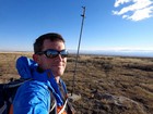
Summit of Big Foot Butte. |
|
|
|