|
Gallagher Peak
Elevation 6100'
Gallagher Peak is located just north of the South Fork Payette River, between Garden Valley and Lowman. The peak offers some great views and a good workout, and it’s accessible year round. I was looking for a snowshoeing partner to get one last climb in for the year, and Splattski graciously agreed to join me. John suggested Gallagher, which he’d done and enjoyed back in April. Visiting a new area sounded interesting, so plans were set.
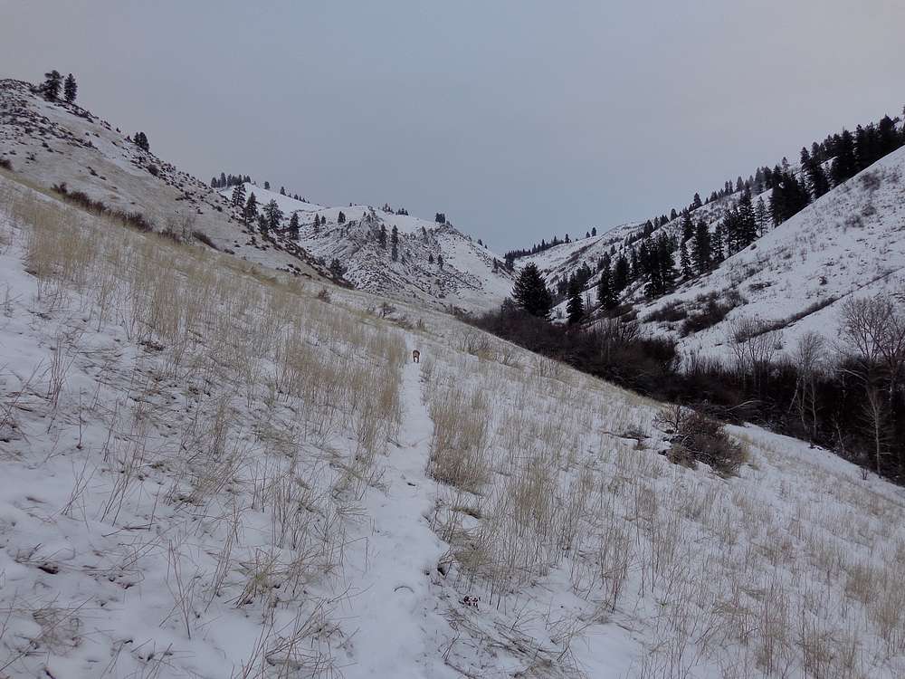
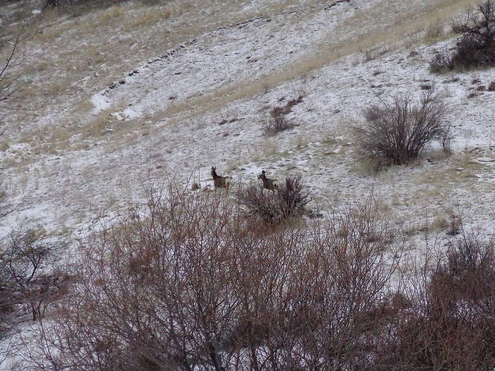
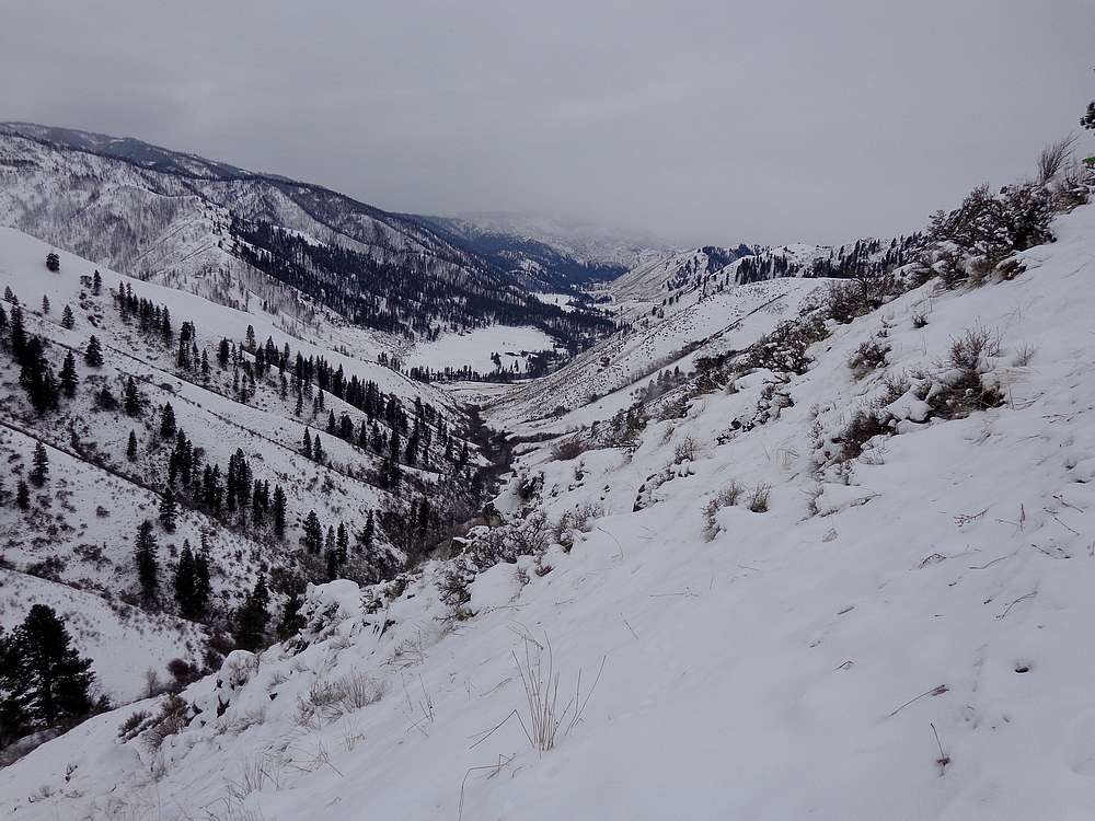
We met at Banks, then rode together to the trailhead at the bottom of Little Gallagher Creek. The forecast had been for snow flurries throughout the day, but the weather was surprisingly good as we made our way up the valley. The scenery was nice, and we saw several deer as we made our way up to the saddle overlooking Pine Creek.
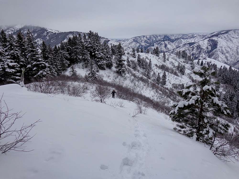
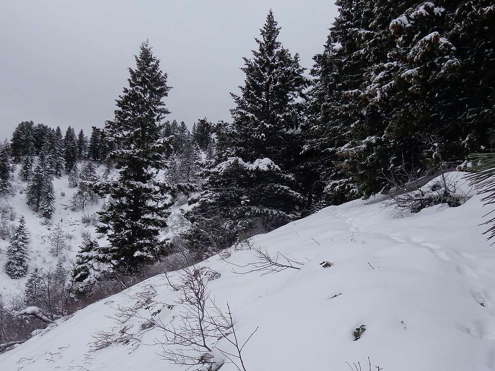
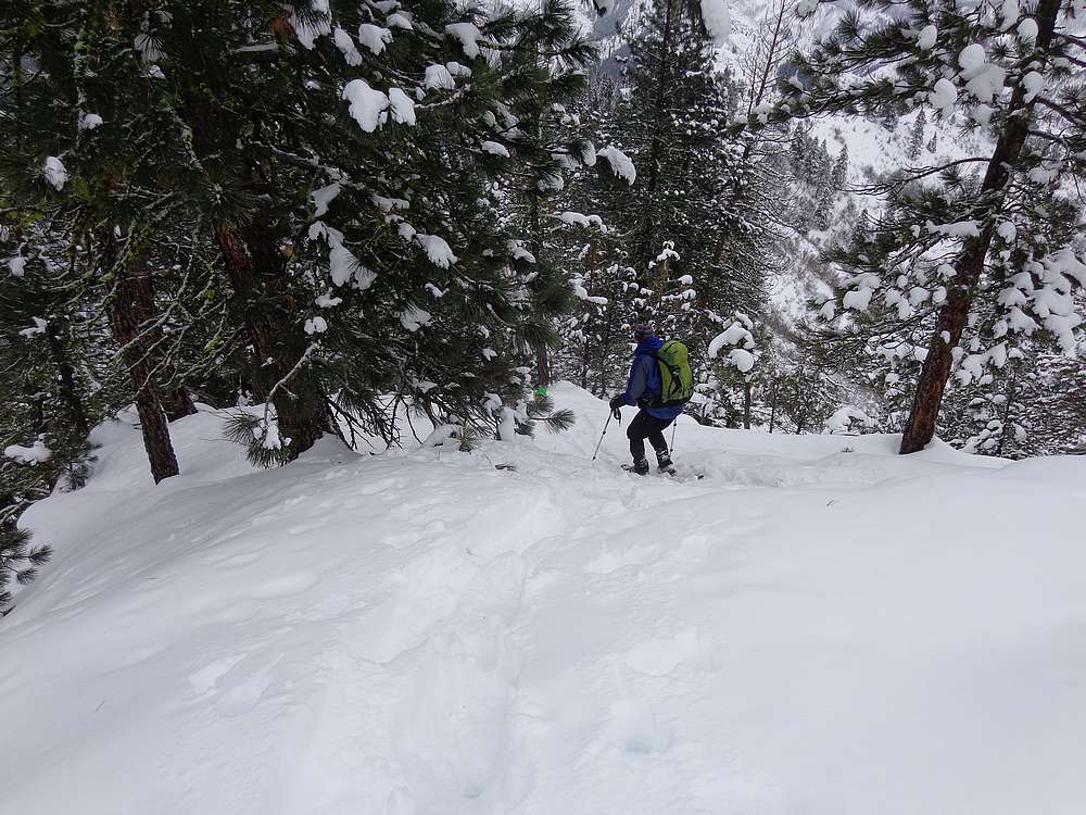
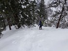
Once at the saddle, we hung a left and headed northwest toward the summit. Soon it was time to strap on our snowshoes, and bundle up to stay warm since it was windier up on the ridge. The snow coverage was good, and buried most of the buck brush to make or climb a little easier. That being said, we took a fairly leisurely pace, arriving at the summit after three hours three miles of hiking.
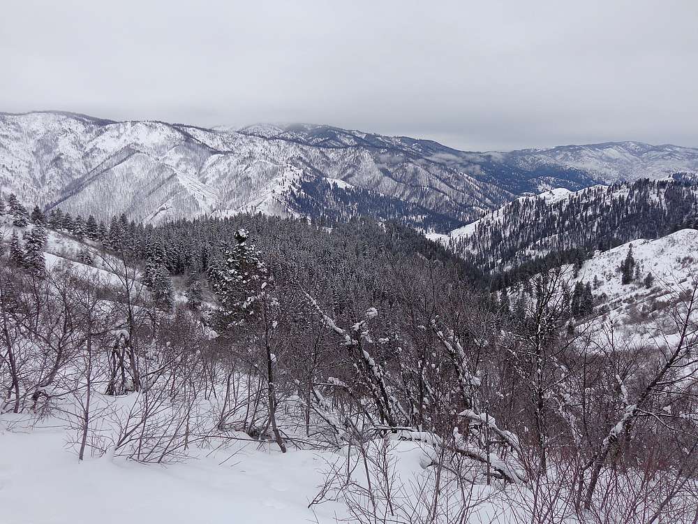
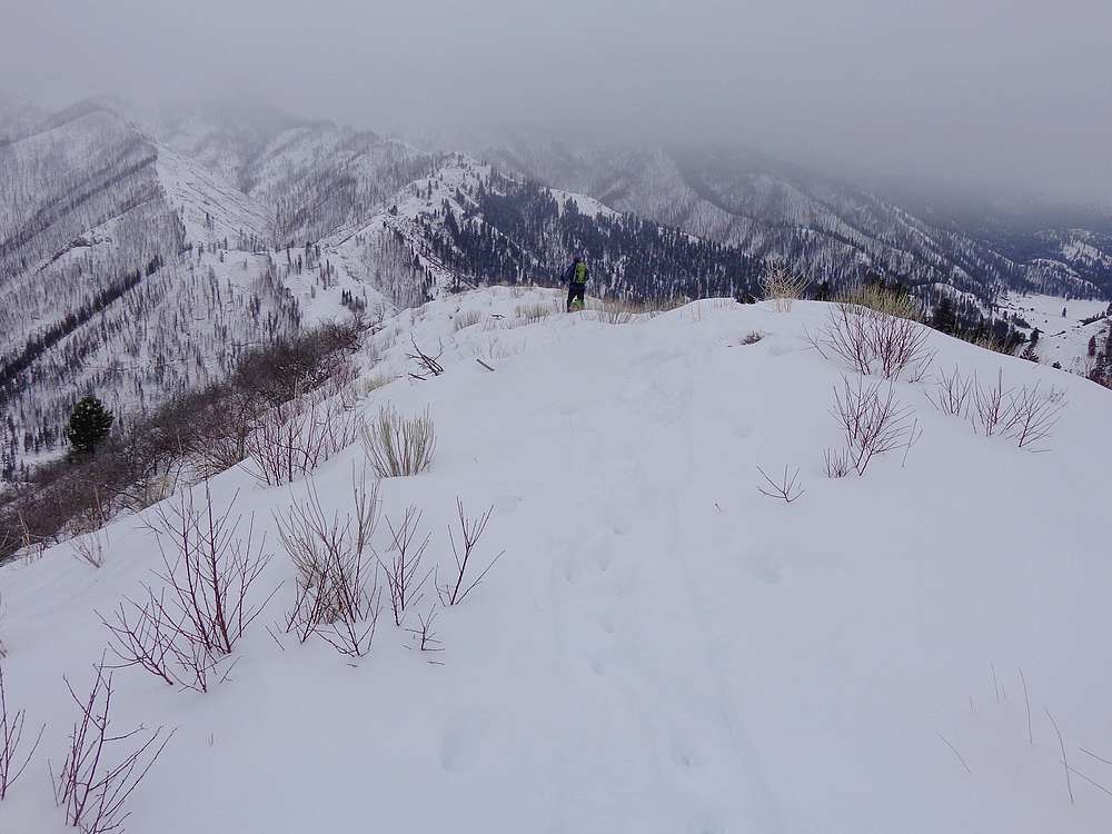
It was fairly chilly on the summit, so we didn’t stay long before retreating back down into the shelter of some trees where we stopped for a snack break. Next we backtracked along the ridge for a while, enjoying the great views.
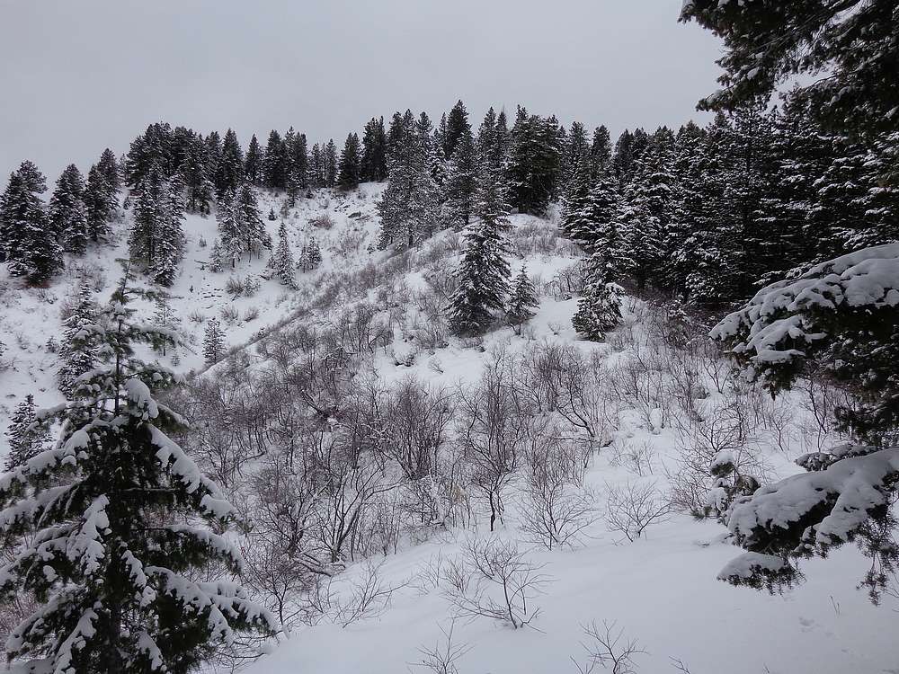
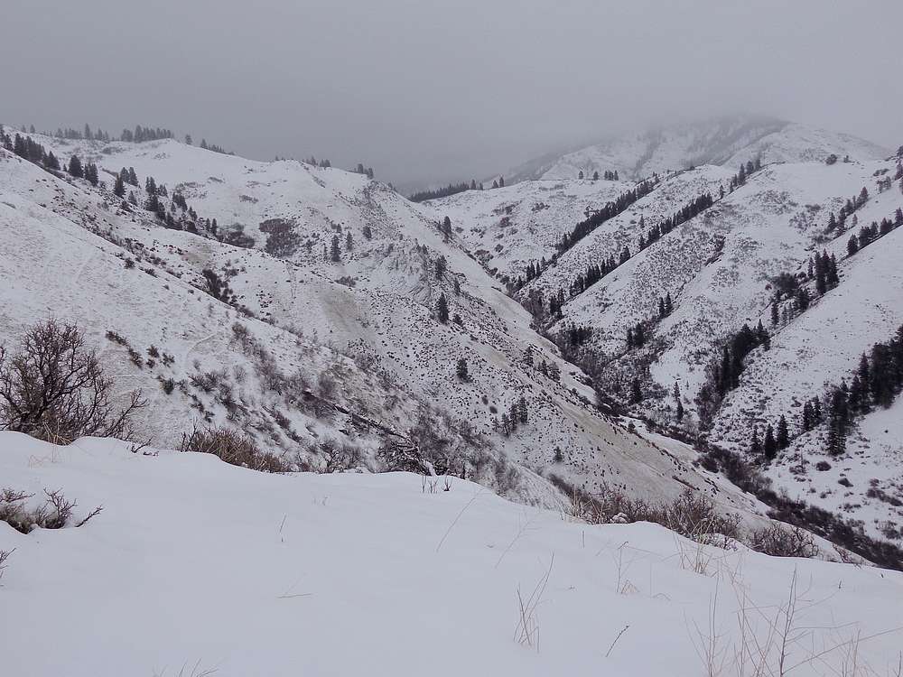
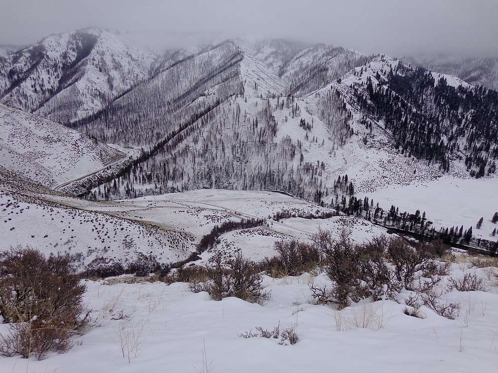
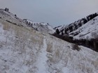
Lower down, we decided to descend a different ridge instead of backtracking to the valley. This worked out pretty well, and we were treated with more great views as a result. The ridge ended somewhat abruptly, so we were left with a steep descent back to the trailhead. Not a bad way to go down, but would have been pretty painful to climb up.
All in all a fun day in the mountains. It’s always great hiking with John, and I enjoyed the area around Gallagher Peak. Round trip was 6 miles, 2800’ elevation gain, in five hours.
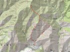
Map of the route, 6 miles and 2800' gain round trip. |
Ruby the Wonder Dog leading the way early. |
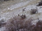
We saw several deer throughout the day. |

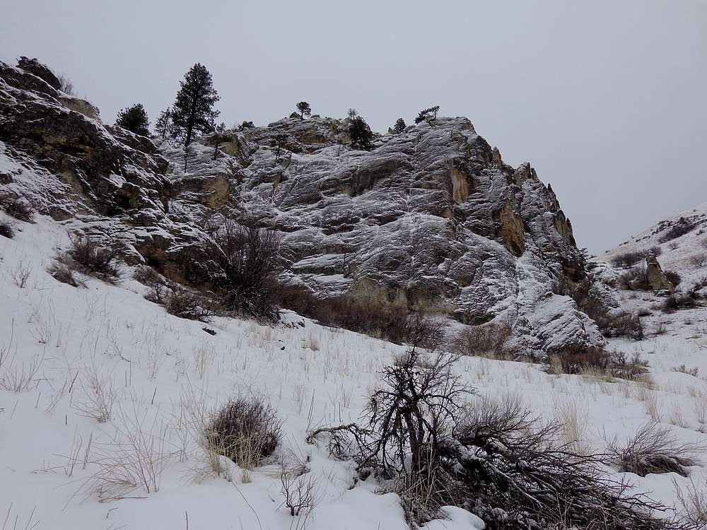
Neat rock formation on the way up. |
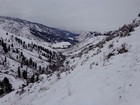
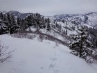
Looking back down on the valley from the saddle. |
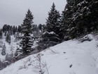
Snowy trees on the ridge. |
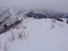
A little cloudy, but better views than originally expected. |
We angled right to avoid the brush. |
Nearing the summit of Gallagher Peak. |
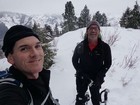
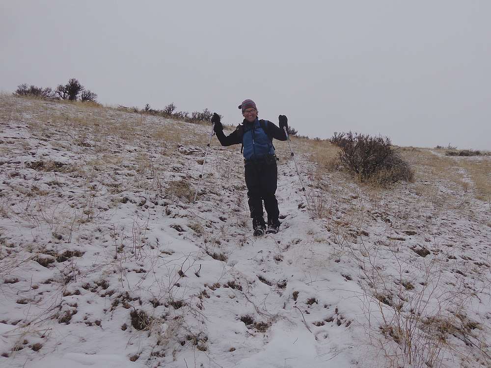
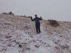
MIB on the summit of Gallagher Peak. |
Sliding back down a steeper section of the ridge. |
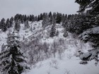
Our decent descent route. |
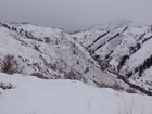
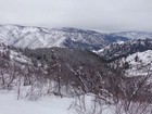
View down on the valley we had ascended. |

Final stretch back to the trailhead. |
John smiling as he anticipates the next slip! |
|
|
|