|
Emory Peak
Big Bend National Park is located in the southwest corner of Texas, just across the Rio Grande River from Mexico. The park is massive and very scenic. But it is remote enough that it sees relatively few visitors (by national park standards). The highest mountain in the park, and the Chisos Mountain Range, is Emory Peak. Emory makes for a great hike on its own, or the route can also be extended to an amazing loop including spectacular views from the south rim overlook.
Michael had come up with a great itinerary for our New Mexico & Texas peak bagging trip. After a great day exploring the Davis Mountains Preserve the prior day, we made the 2.5 hour drive to the village of Study Butte. We’d hoped to camp in the park, but it was full, so we grabbed one of the last spots at an RV camp in town and did our best to settle in for the night. Not exactly a wilderness experience, but our spirits were lifted by some excellent pulled pork burritos from Chef Scott.
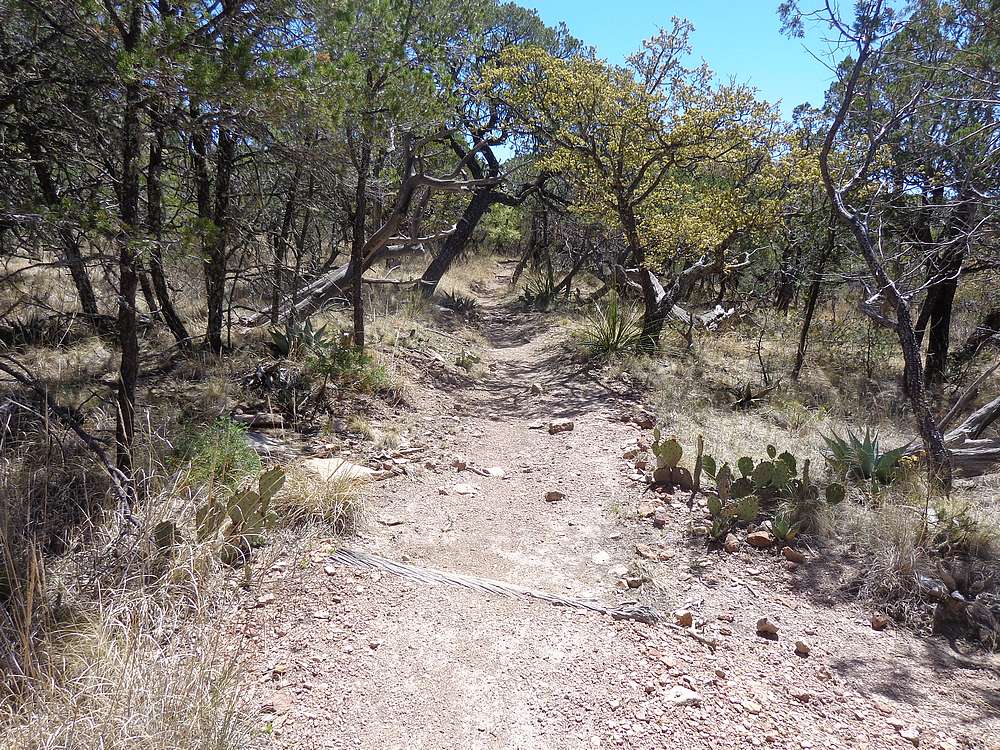
We were up early in the morning, and made the drive to Chisos Basin. I hit the trail first, with plans to tag the summit of Toll Mountain, and then meet the guys on Emory. So off I went, moving fast but enjoying the very scenic Pinnacles Trail. It took me an hour to cover the 3 miles to reach the saddle.
Once at the saddle, I temporally dropped a few heavy items and headed northeast toward Toll Mountain. There was a trail at first, but that faded out after passing a campsite. Then it was a bit of light bushwhacking. Only a few cactus and yucca to dodge. The highpoint wasn’t easy to discern, so I traipsed across various points to remove any doubt. I was able to catch some occasional views through the trees looking down at Chisos Basin far below. Not bad! Then I retraced my path back down to the saddle.
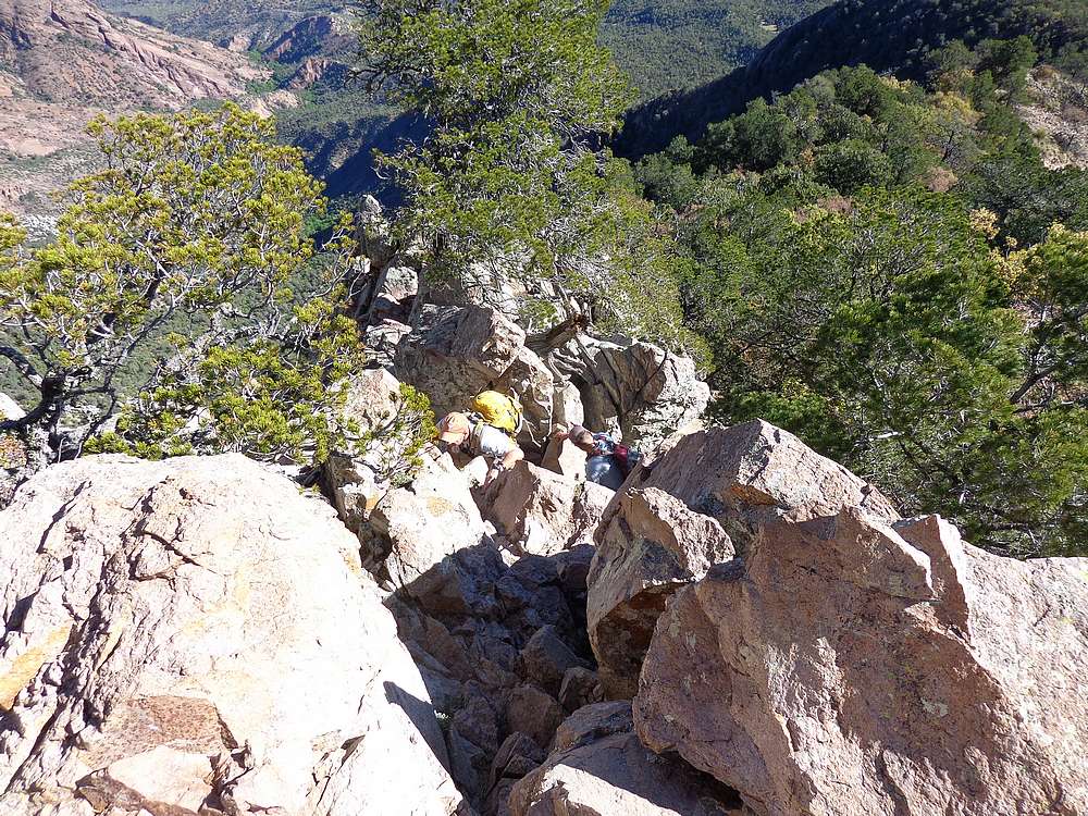
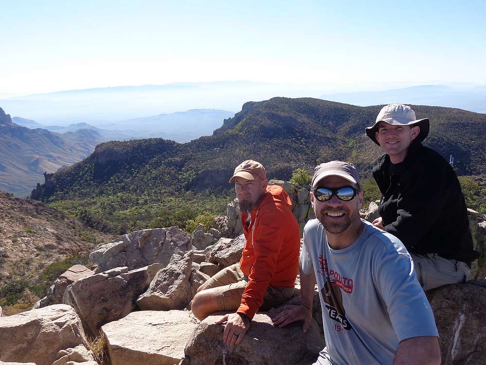
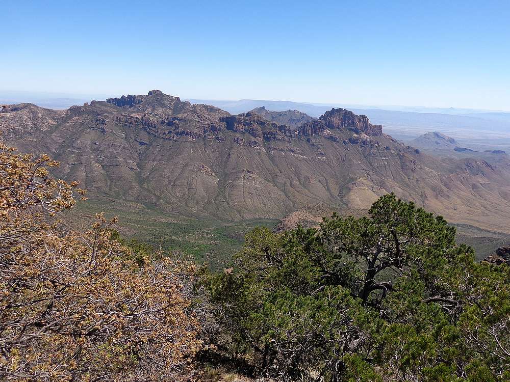
Next up was Emory Peak. Back on the trail at this point, I picked up the pace again and was able to catch Michael and Scott a little below the summit. The final climb to the top of Emory is a nice adventure, including some steep 3rd class scrambling to keep things interesting. Emory has the most prominence of any mountain in Texas, so the summit views were understandably impressive.
We hiked back down to the saddle, then onward along the Boot Canyon Trail heading toward the South Rim overlook. This section was surprisingly green and shady. I was feeling good, and eventually opted to hustle along ahead and take a side trip to Townsend Point, hoping to get in a 3rd peak of the day.
I reached the trail fork leading to the southeast rim. A portion of the trail is closed for raptor nesting season, but was open far enough to access Townsend Point. I followed the trail about a mile and a half, then bushwhacked between trees up the gentle grade to Townsend. I was even lucky enough to score some good summit views. Then it was just a matter of backtracking back to the Boot Canyon Trail, which I followed to the south rim overlook.
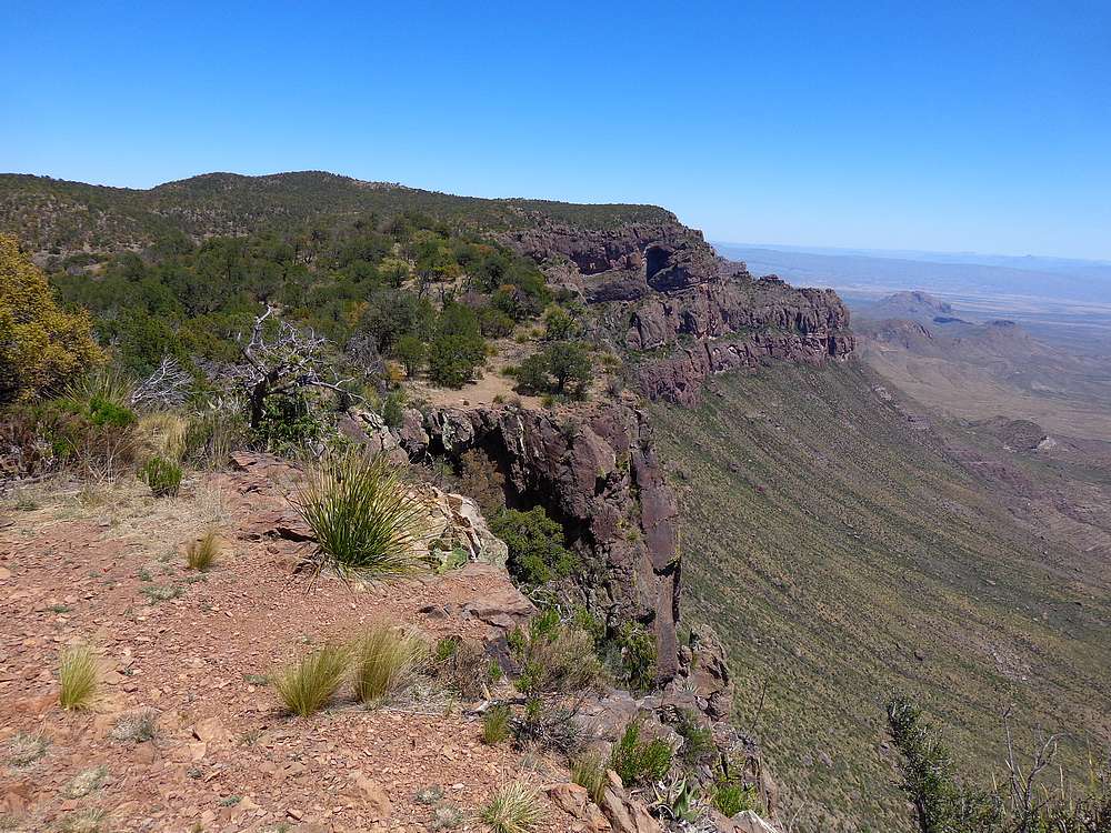
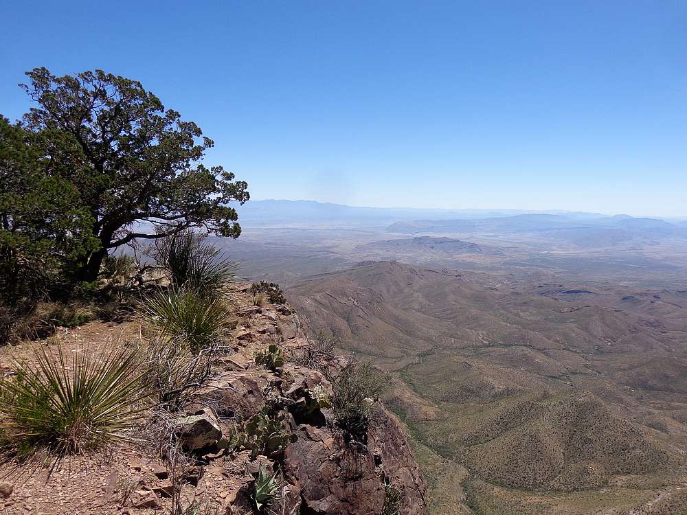
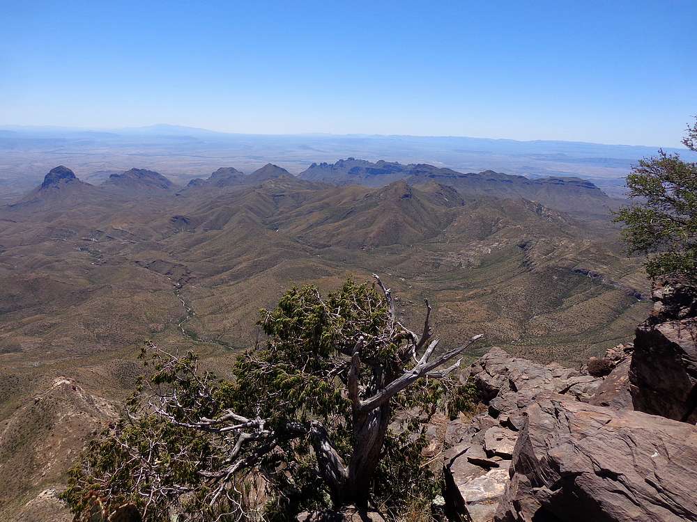
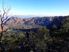
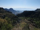
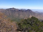
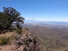
Views from the South Rim overlook were nothing short of spectacular. I could see the Rio Grande River in the distance, and the mountains of northern Mexico beyond. It was a great spot to sit and enjoy a PB&J! The trail follows along the south rim for a while, with several great viewpoints thrown in.
After leaving the south rim, I continued onward toward Laguna Meadows. The trail was well maintained and very scenic. I did my best to hustle/jog some downhill sections to try and catch the others, but no luck. When I arrived back at the trailhead, they’d been there waiting about 15 minutes.
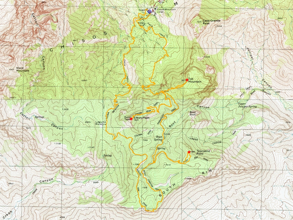
What a great day of hiking! Emory Peak and the South Rim were both amazing. Round trip was 18 miles and 4500’ elevation gain in 8 hours. Next up was a long drive north to tackle Mount Taylor in New Mexico.
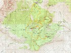
Map of the route, 18 miles and 4500' gain round trip. |
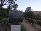
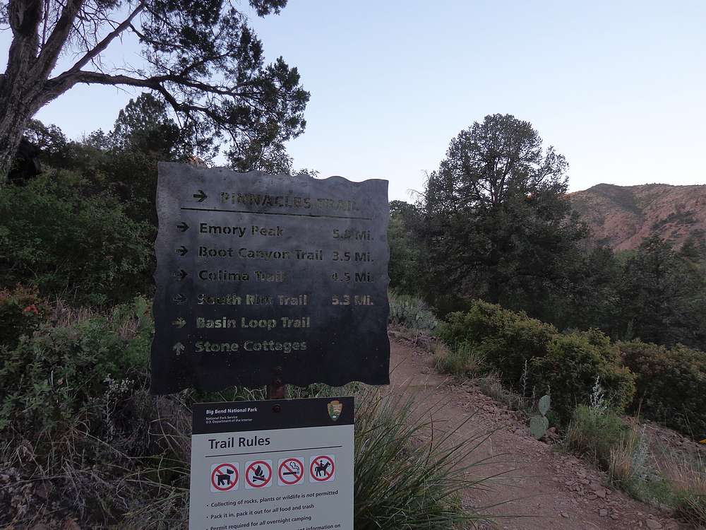
Sign near the trailhead in Chisos Basin. |
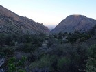
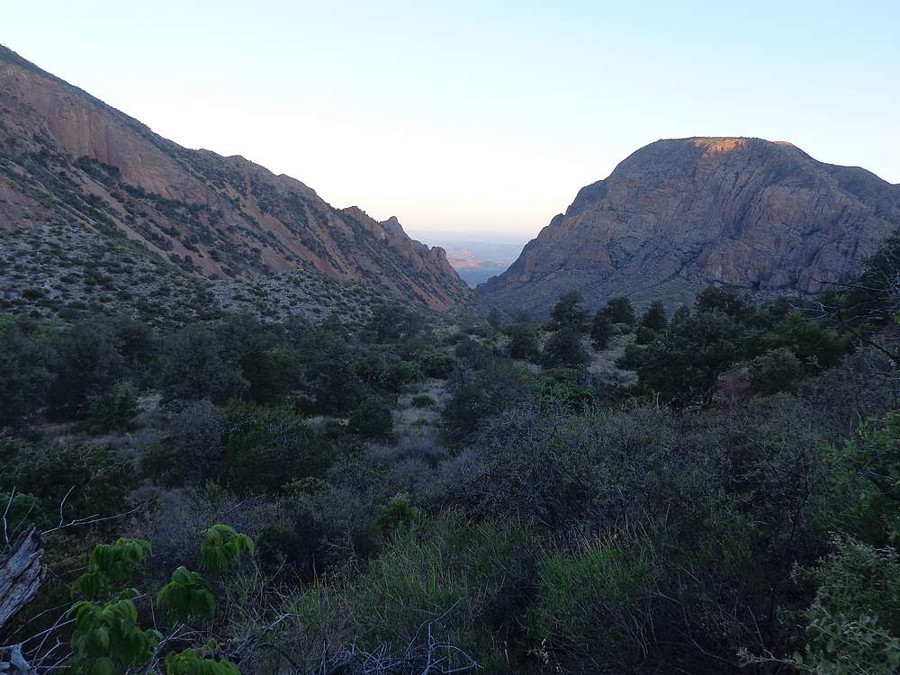
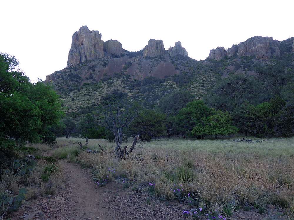
Morning scene. |
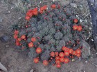
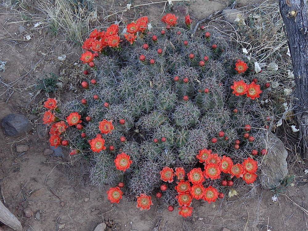
Blooming cactus near the trail. |

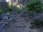
Heading up the Pinnacles Trail. |
Plenty of interesting vegetation along the way. |
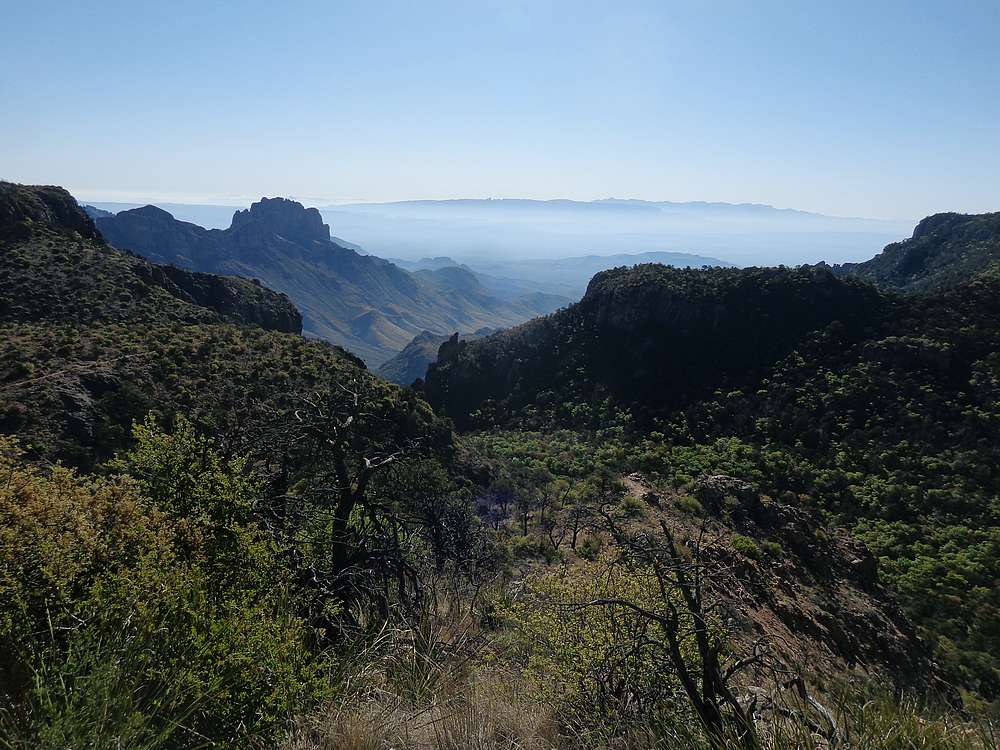
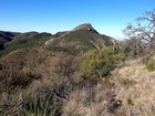
Toll Mountain summit view into Chisos Basin. |
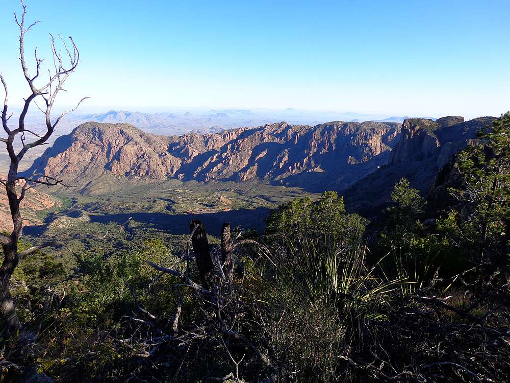
The summit of Emory Peak comes into view. |
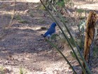
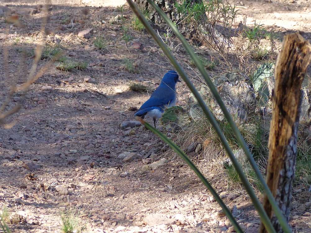
Mexican Blue Jay. |
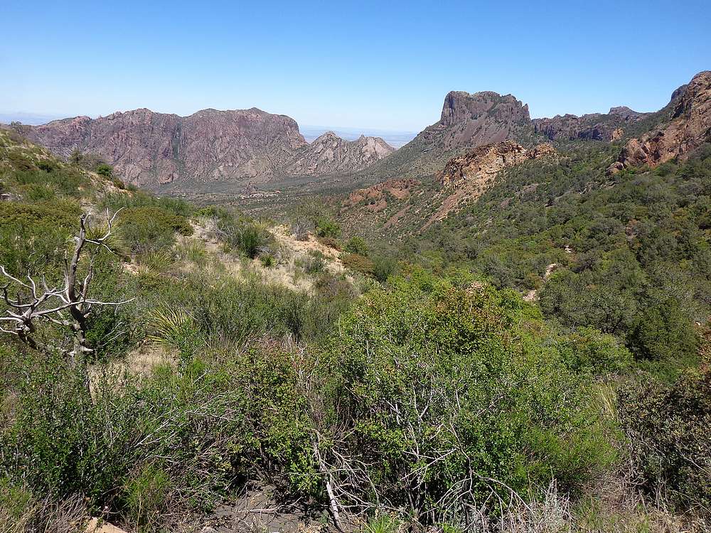
Great scenery looking south. |
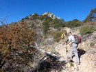
Heading toward Emory Peak. |
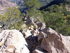
Scramble section on the way up Emory Peak. |
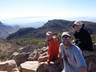
Group shot of the summit of Emory Peak. |
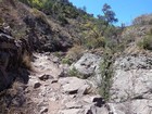
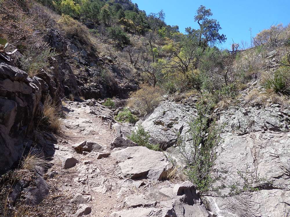
Boot Canyon Trail. |

East Rim Trail south of Townsend Point. |
Townsend Peak summit view looking east. |
South Rim view looking east. |

Another great view from the South Rim. |
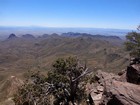
South Rim view looking south into Mexico. |

Descending the Laguna Meadows trail back to Chisos Basin. |
|
|
|