|
Mount Breitenbach
Elevation 12,140'
Mount Breitenbach is located in eastern Idaho’s Lost River Range. It is one of nine 12,000 tall peaks in Idaho, and is the fifth tallest mountain in the state. Breitenbach is generally considered the least technical climb of all the 12ers. It also makes for a relatively safe snow climb in late spring or early summer. But don’t underestimate what it takes to climb this one. It’s still a worthy objective that will put you to the test.
I’d been swapping emails for several months with Sauni from Outdoor Idaho. She was initially looking to film a 12er winter ascent, but we settled on a safer late spring snow climb. I’d climbed Breitenbach back in 2006, and knew we’d have a good chance of reaching the summit in May. Next I was able to recruit Jeremiah, Pam, and my brother Ken to round out the climbing party that also included Jay and Terry from Outdoor Idaho.
We met at the Pete Creek trailhead the night before, and made plans for an early start. I knew the general routine from the Vienna Peak outing a few years ago, and that meant we needed to plan for a long day to allow for extra filming time along the way. By just before 6am it was light enough to hike without a headlamp, so we hit the trail.
The lower portion of Pete Creek can involve some bushwhacking. But the leafless brush was pretty easy to deal with this time of year, so we didn’t have much difficulty. After about a mile of hiking, we met the snowline. Fortunately the snow was firm and supportive, so we stashed the snowshoes to save weight.
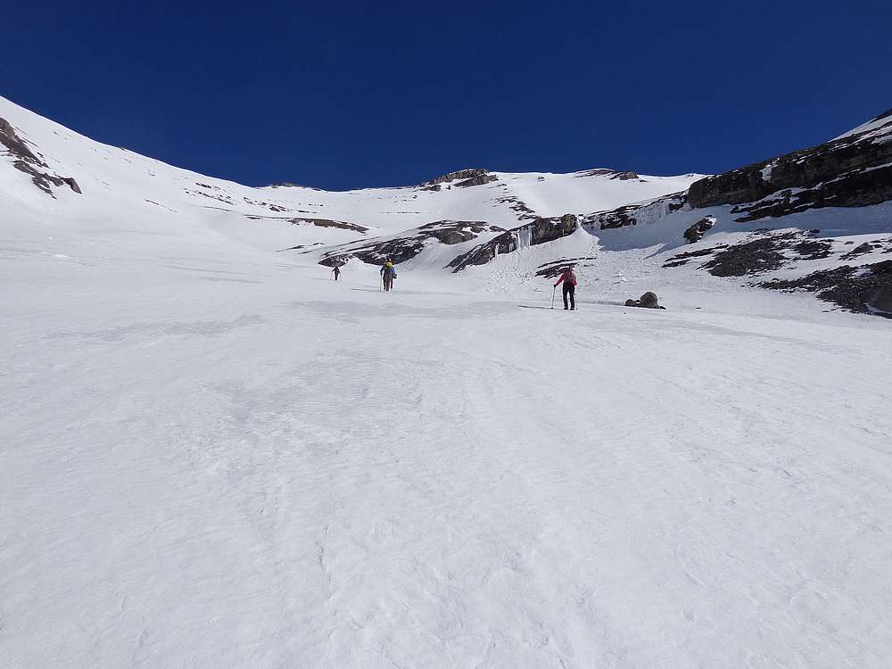
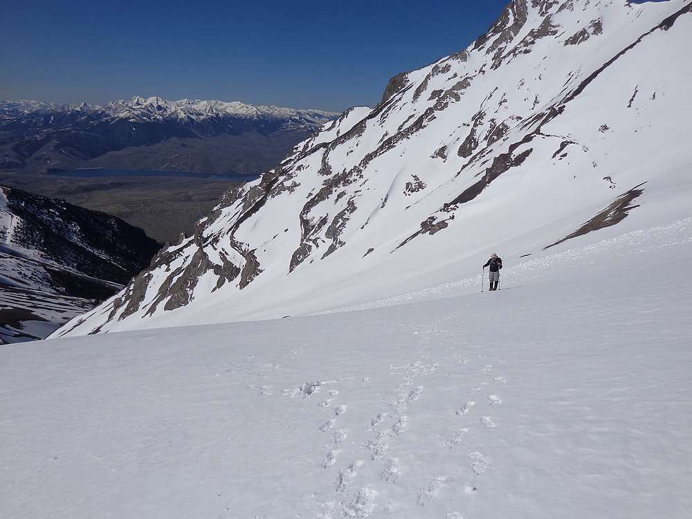
We made a slow but steady pace up the snow. Higher up, the slope got steeper and it was time for crampons. Much of the group had not spent much if any time in crampons, so the moderate terrain was good for getting used to them.
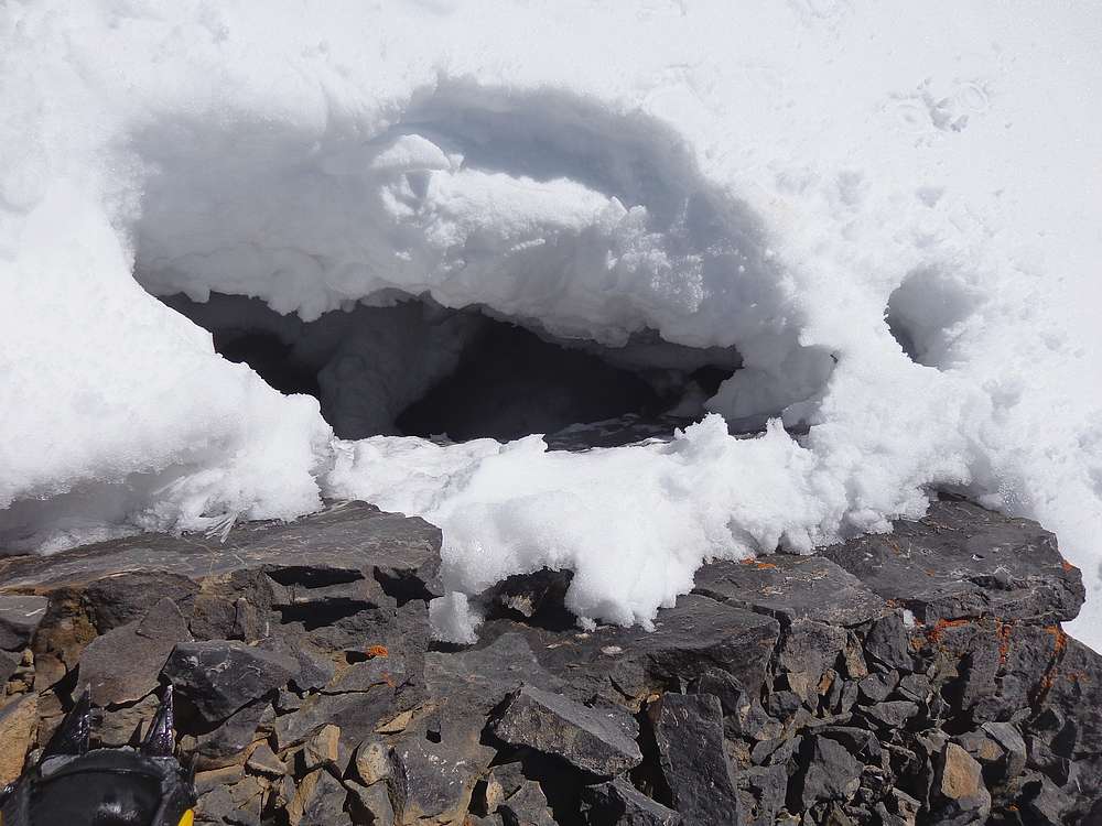
As we neared the head of the valley, the sun was warm and welcoming. But it was also loosening up some rock above us, and several smallish stones whizzed by us at various times. When we reached safety at the saddle overlooking Wet Creek, it was a welcome spot for a snack and enjoying the views. But there was also some momentary excitement when Terry suddenly plunged armpit deep into the snow, narrowly avoiding full submersion into a rock crevasse that was at least 10’ deep. Whoa!
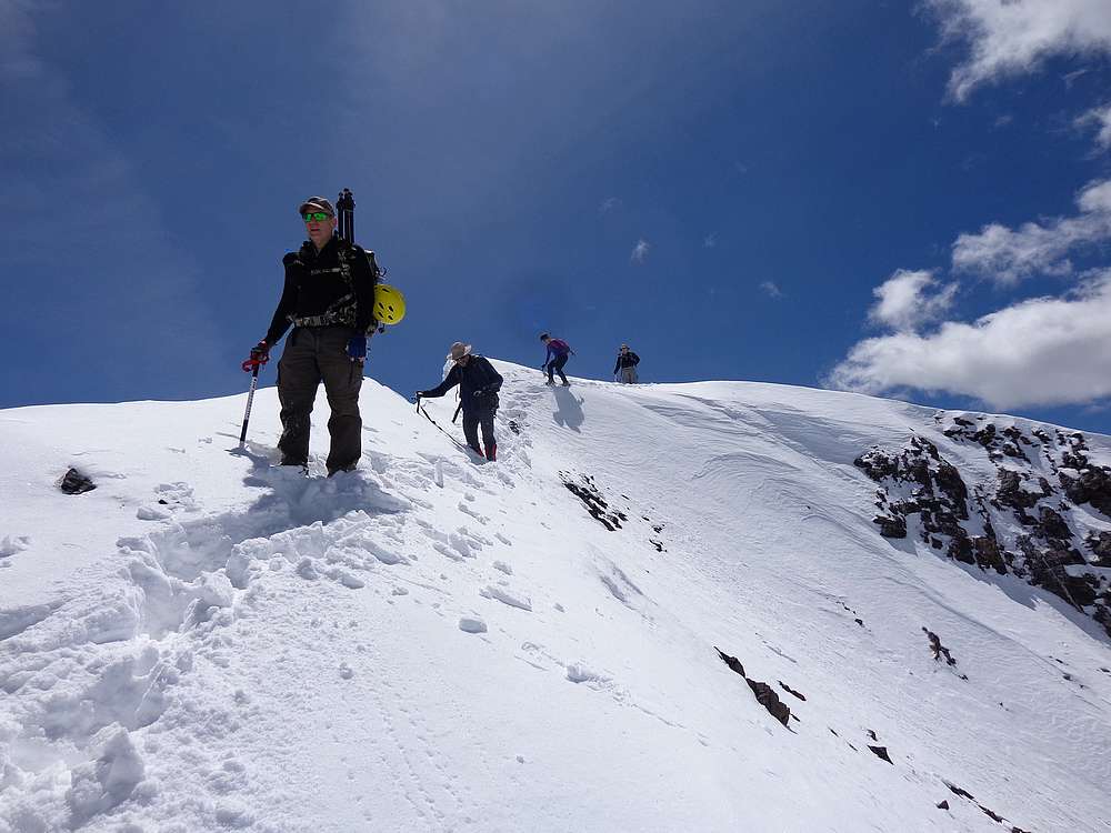
After a snack at the saddle, Jay set up his camera to film us climbing toward the false summit, the steepest section of the day. There was a bit of nervousness from the group due to the steepness, but the climbing ended up being pretty straightforward, and the team got their rhythm quickly.
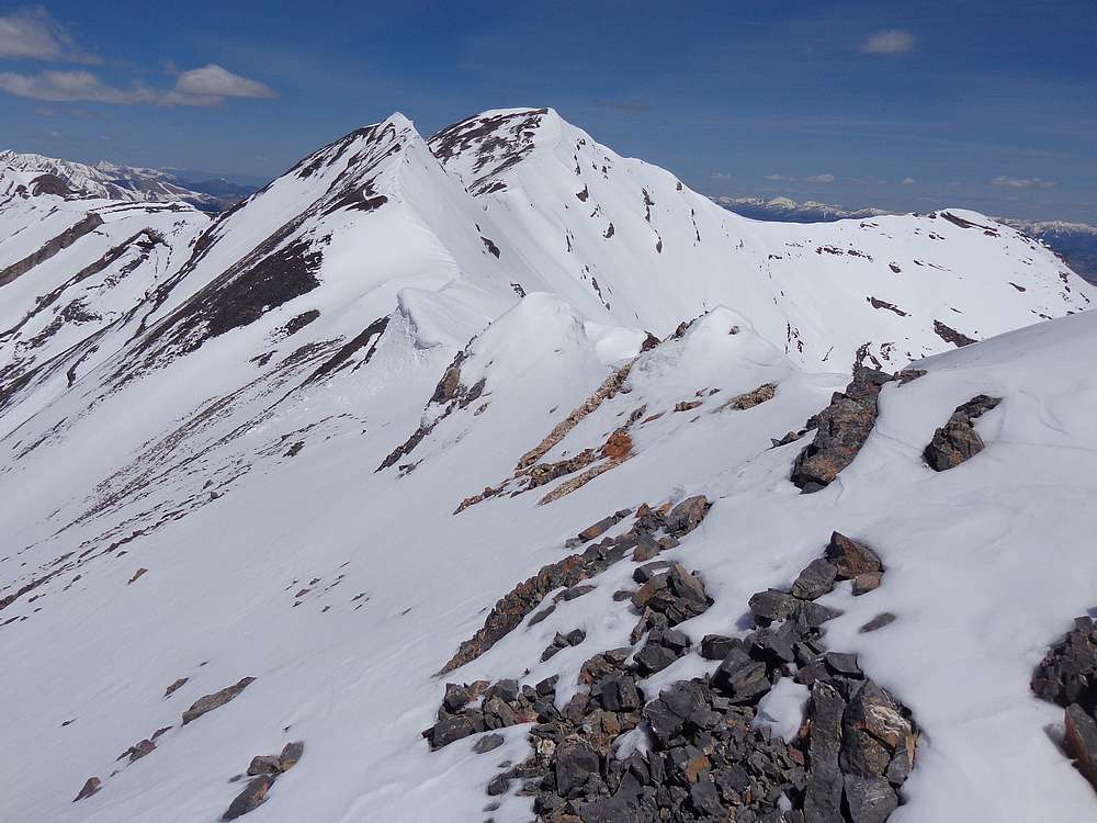
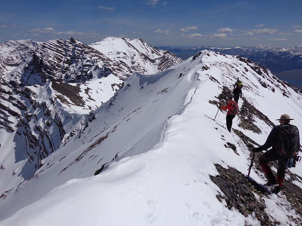
The only real unknown of the day would be the final summit ridge. There had been reports in prior years of dueling cornices overhanging both sides of the ridge. If we saw any first sign of that today, we would have to play it stay safe and turn back. But from the false summit, we could see most of the ridge. It looked doable, so on we went.
However, there was one section that got our attention. A cornice overhung the cliffs on the east side of the ridge, and there was a short but steep snow slope on the west. All chit-chat ceased, and we talked about how to safely approach the section. Each person applied their laser focus and we crossed one at a time without issue. There was definitely a feeling of accomplishment after we’d all made it safely across.
The rest of the way to the summit had no real obstacles. Just a bit more ridge work, and a final climb to the highpoint. Jay filmed us clanging our ice axes together as we celebrated making it to the summit. It had taken us 8 hours of climbing to reach the top, so we enjoyed a well-deserved lunch. I had PB&J of course.
It was perfect weather conditions on the summit, and we soaked in the amazing views while eating lunch. But it was getting late and we still had a lot of ground to cover. So back down along the ridge we went, moving confidently along the way, and the crux section was now much easier thanks to the trail we’d broken in earlier.
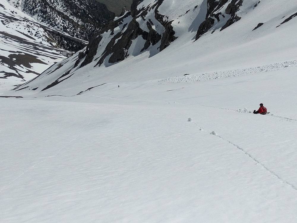
During the climb up, we’d scouted out a glissade option that we hoped would help us make up some time. So below the false summit, we took off our crampons and battened down the hatches for some glissading. This was the first time glissading for the rest of the group, so we wisely started out slow and cautious. But once we discovered snow conditions were ideal, and the runout below was safe, everyone relaxed and we enjoyed some great snow sliding.
There were three main glissade section that took us down the valley and helped drop a couple thousand feet of elevation with minimal effort and a ton of fun. We all covered a lot of ground, but “Fast Pants Pam” did it with the most style.
Once at the bottom the snow, we started hiking again, which helped get the blood flowing again to our frozen hind quarters. We made it down the lower section with a bit of post-holing, and then back down Pete Creek to the trailhead.
What a great day in the mountains. Perfect weather conditions, great scenery, and a fun group. Round trip was 8 miles and 4500’ of elevation gain in 12 hours (yes 12 hours) of hiking. Definitely a full day’s work. Now all that’s left is to see how Sauni and team manage to fit the footage into their upcoming Idaho 12er episode, slated to air sometime in 2020.
Access Road Update June 2022: Upper Cedar Creek Road is currently blocked by a locked gate and NO TRESSPASSING signs where it crosses the private ranch property. It’s unclear if these are new owners, or if the gate got left open one too many times. Whether or not this is a permanent closure, be prepared for an alternate drive approach. Reportedly the best option now is the next (unmarked) gate about a mile-and-a-half north off US93.
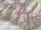
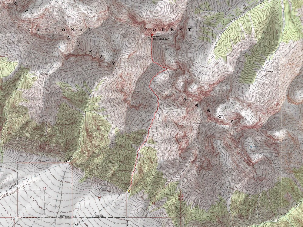
Map of the route, 8 miles and 4500' gain round trip. |
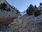
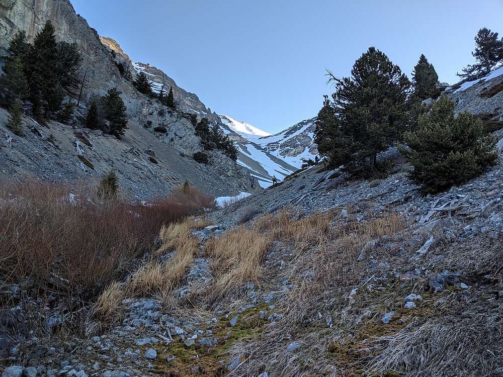
Early in the hike up Pete Creek. |
Almost time for crampons. |
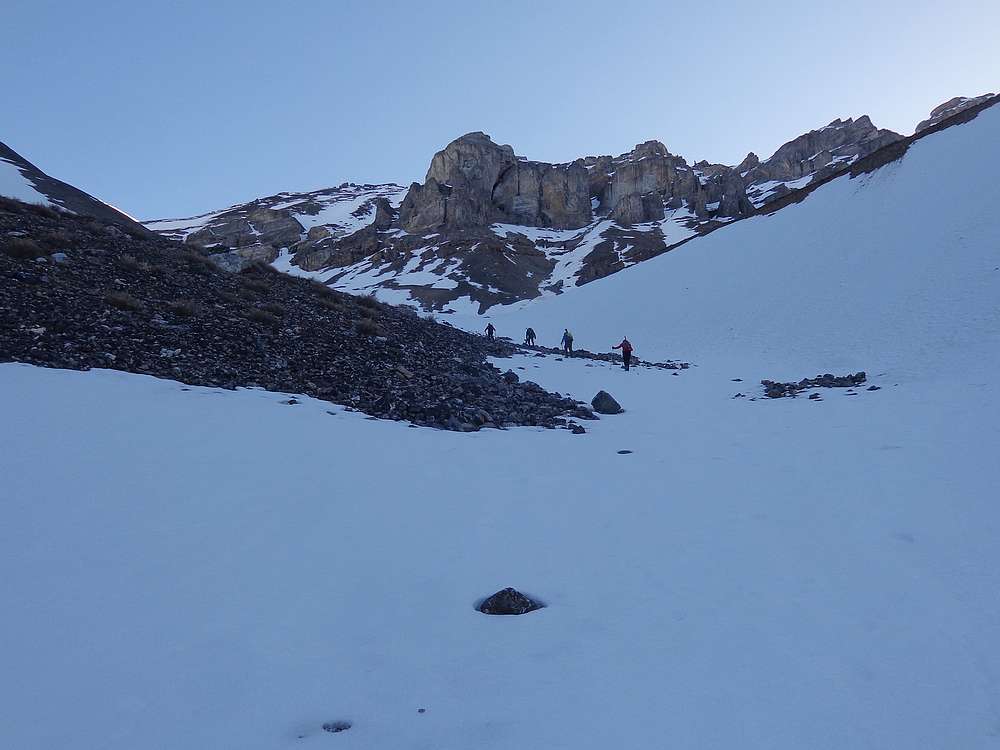
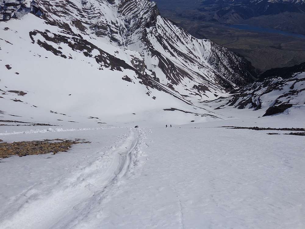
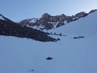
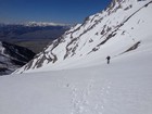
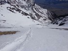
Making our way up toward the upper valley. |
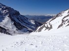
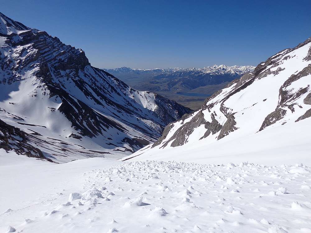
Looking back down Pete Creek. |
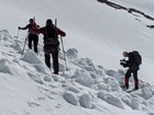
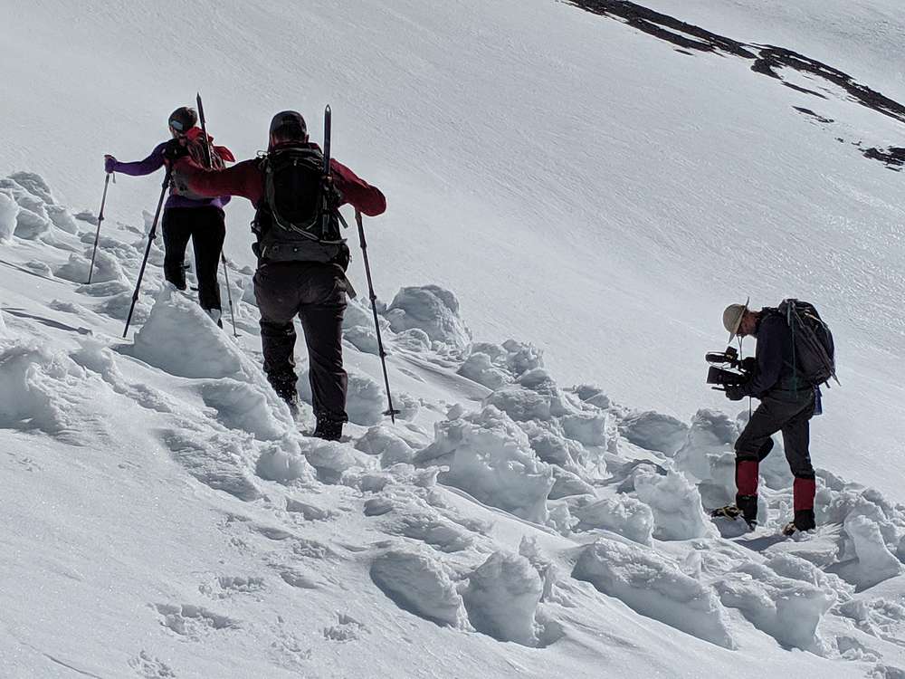
Getting filmed crossing avy debris. |
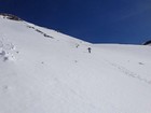
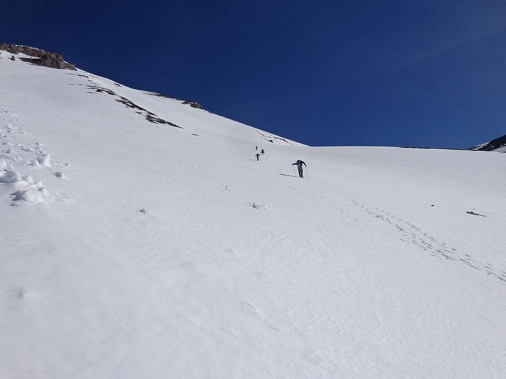
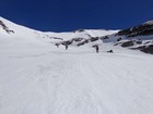
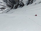
Up, up, and more up. |
Taking a break to enjoy the views. |
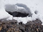
Terry's armpits caught him from falling 10' deep into this rock crevasse near at the saddle. |
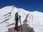
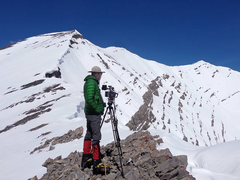
Jay setting up to film us climbing the ridge. |
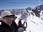
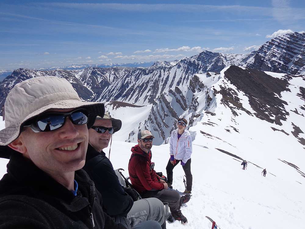
Group shot during a break waiting for Jay and Terry. |
View along the summit ridge. |

Carefully down climbing this section of the ridge. |
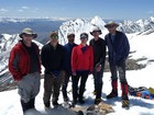
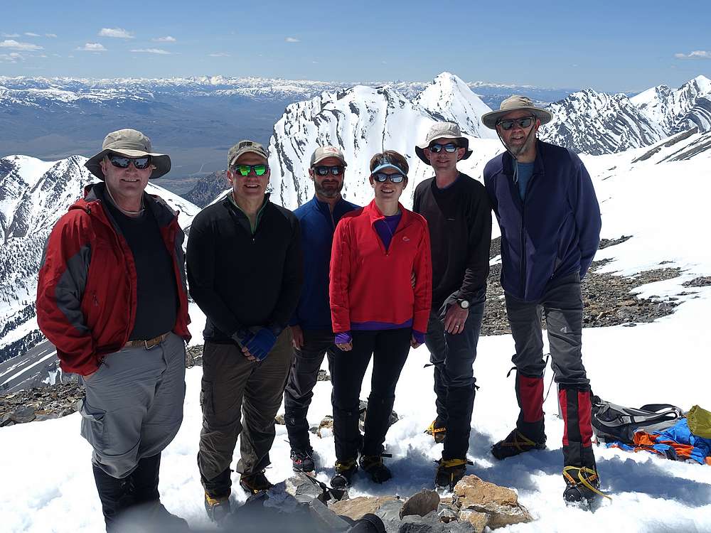
Group shot on the summit of Mount Breitenbach. Jay Krajic photo. |
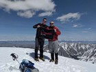
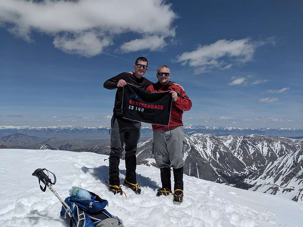
Brothers on the summit of Mount Breitenbach. |
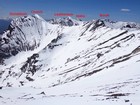
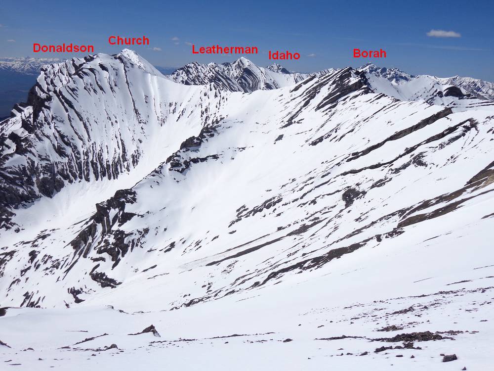
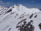
Five 12ers visible to the north. |
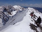
Heading back down the ridge. |
Top of the glissade section. |
We enjoyed some nice long glissades. |

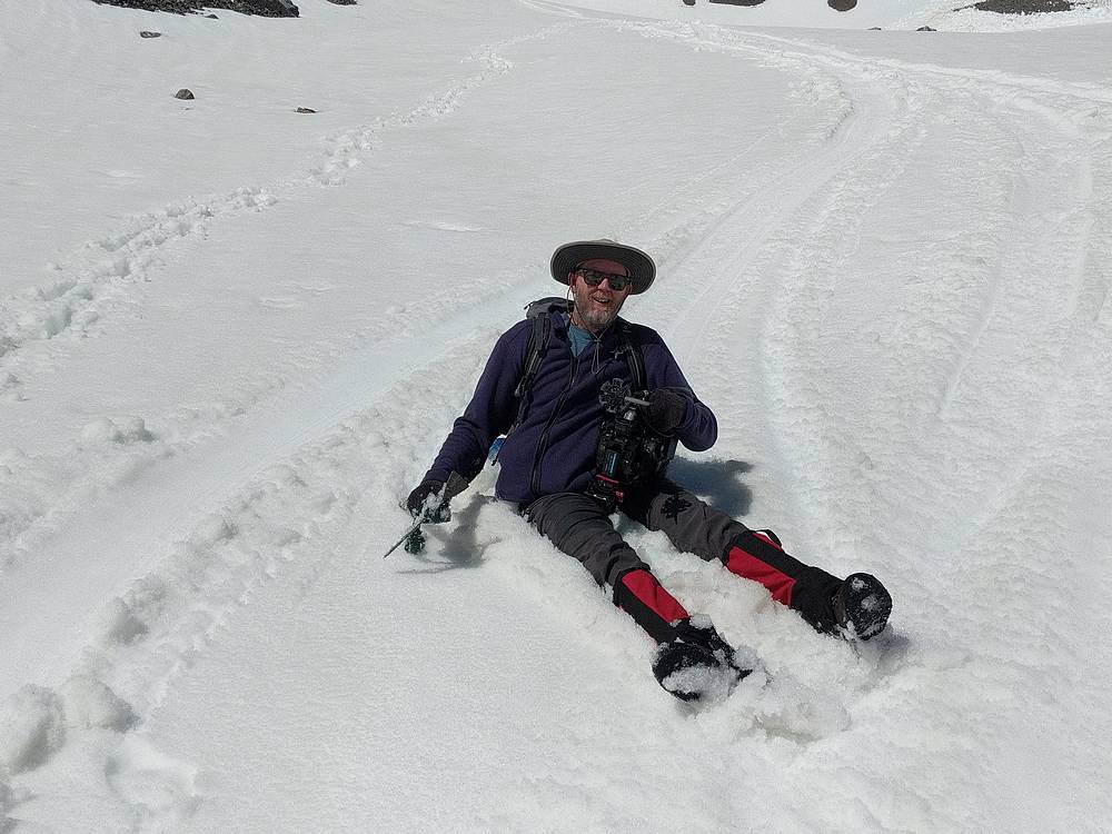
Bottom of the final glissade. |
|
|
|