|
Ferguson Peak
Ferguson Peak is a rugged mountain located in eastern Idaho’s Lost River Range. It is found on the remote east side of the range, and is the highest peak on a divide that separates Dry Creek and Long Lost Creek. The peak is named in honor of Chuck Ferguson, an accomplished Idaho mountain climber.
Ferguson Peak would be the first objective in a multi-day peak bagging trip with Michael and John. After a long drive from Boise, including the final rugged stretch up Long Lost Creek to the Swauger Lake trailhead, we were able to start hiking just before 12 noon.
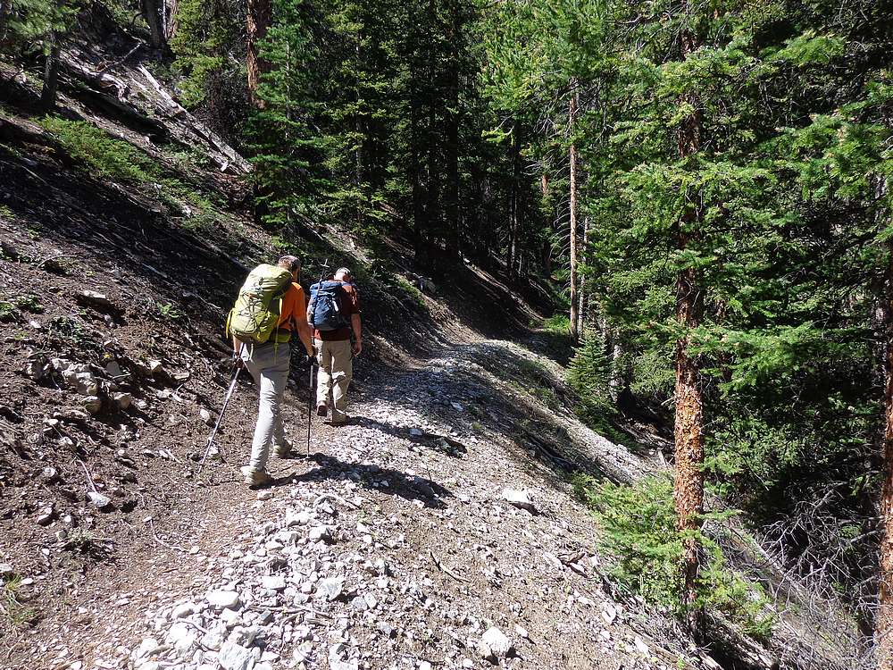
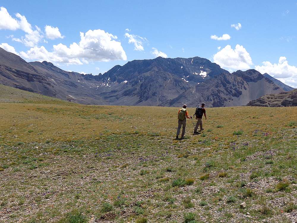
The Swauger Lake trail is arguably in the best condition of any trail I’ve been on in the Lost Rivers. We switchbacked up through the forest, then left the trail at around 9200’ and headed southwest up the valley. The area was highly scenic, and we made good time through open terrain.
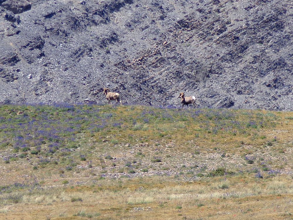
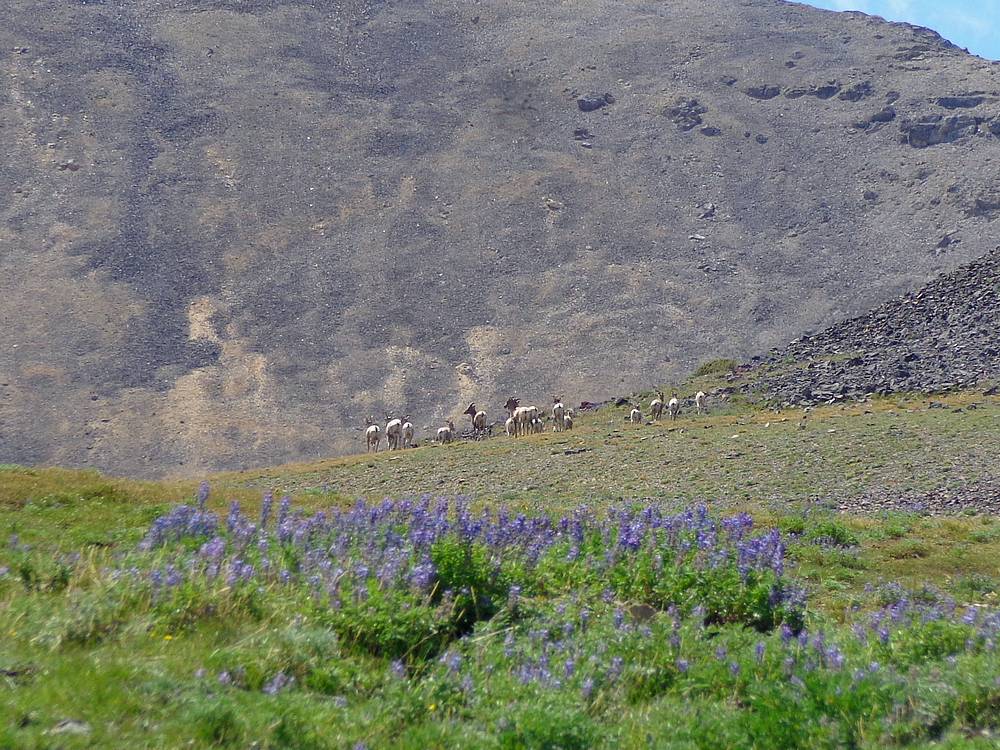
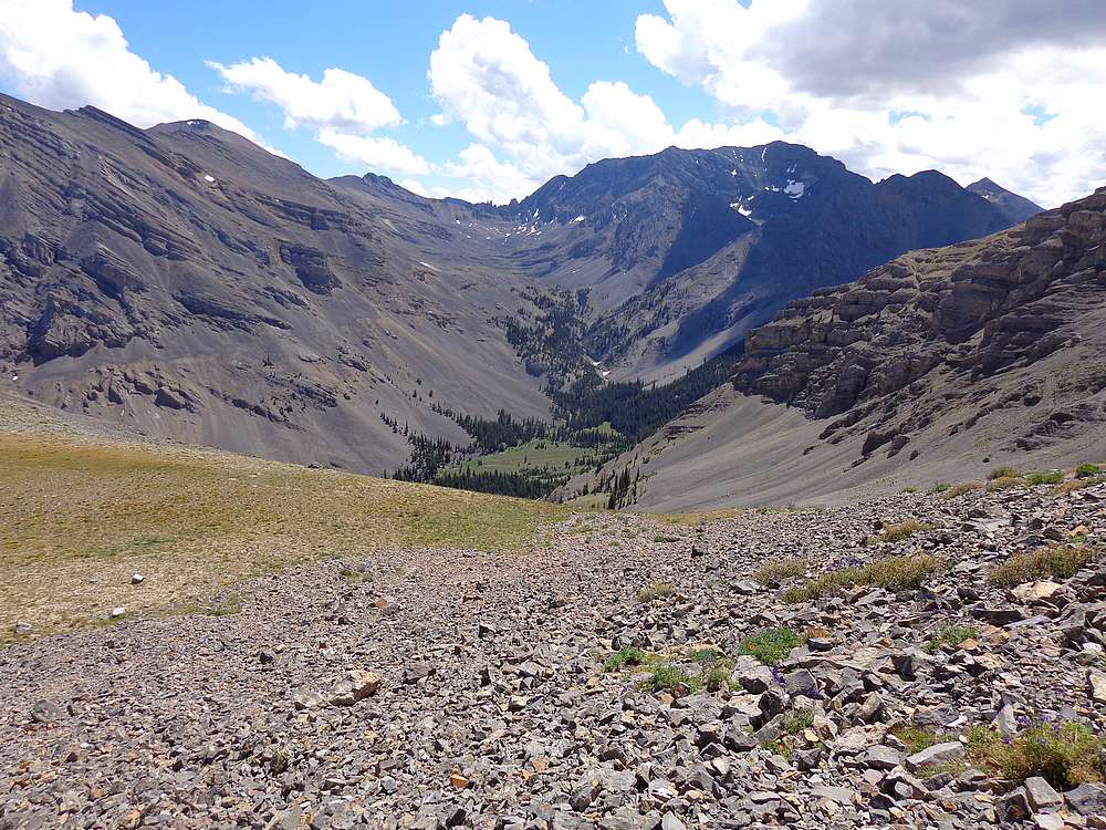
As we approached the saddle at the head of the valley, we were greeted by numerous bighorn sheep, including two rams and a couple different groups of ewes and lambs. Very cool. Soon after, we had some amazing views looking into the headwaters of Long Lost Creek, guarded by the famous “goal posts” to the east of USGS Peak.
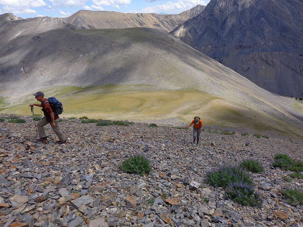
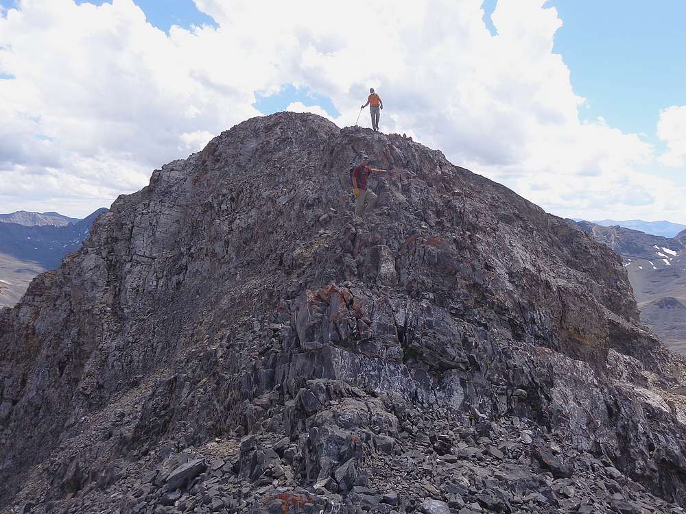
After a snack break at the saddle, it was time to climb. The talus covered slopes weren’t too bad, and after some huffing and puffing, we attained Ferguson Peak’s southeast ridge. The ridge looked long, and was long. But there are worse problems to have than a long scenic ridgewalk. Most of the ridge was straightforward, with several ups and downs. But there were a few scrambly sections including one tricky downclimb that we did very cautiously.
The mile and a half of ridgewalking seem to take a long time, so it was satisfying to finally reach the summit. It was a commanding position to view many of the big peaks in the Lost Rivers. We stayed for a while to soak in the views, and then retraced our path along the ridge. Other than some heavy wind at times, we didn’t have any issues.
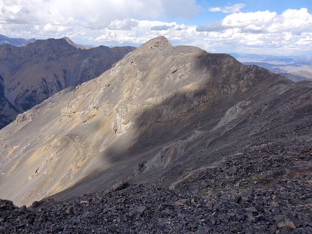
I still had some gas left in the tank, and decided to take a side trip up Peak 10648’, nicknamed “Longswauger Peak” by Rick Baugher on a note in the film canister on the summit. It was a quick climb from the saddle, and provided some great views of Ferguson Peak as well as Long Lost Creek below.
From the summit of Longswauger, I continued northeast along the ridge for a while before descending a scree gully to reach the valley floor. Soon enough I was back on the trail hustling to catch the others, who I met just above the trailhead.
Ferguson Peak was a great adventure. Round trip was 11 miles and 4600’ elevation gain in 7.5 hours. We were able to find a good campsite a mile down the road where we enjoyed a steak dinner (thanks John!) and a good night of sleep. Next up, Cleft Peak.
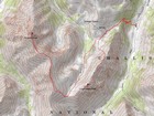
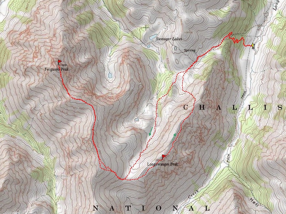
Map of the route, 11 miles and 4,600' gain round trip. |
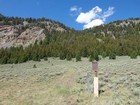
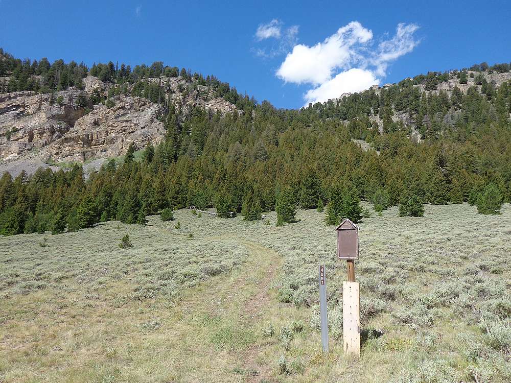
Swauger Lakes trailhead. |
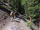
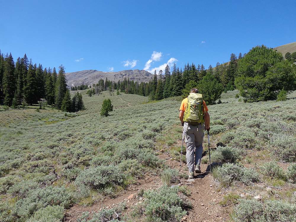
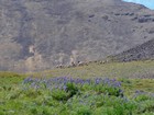
Heading up the luxurious trail. |

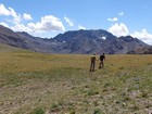
Getting above tree line. |
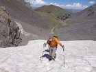
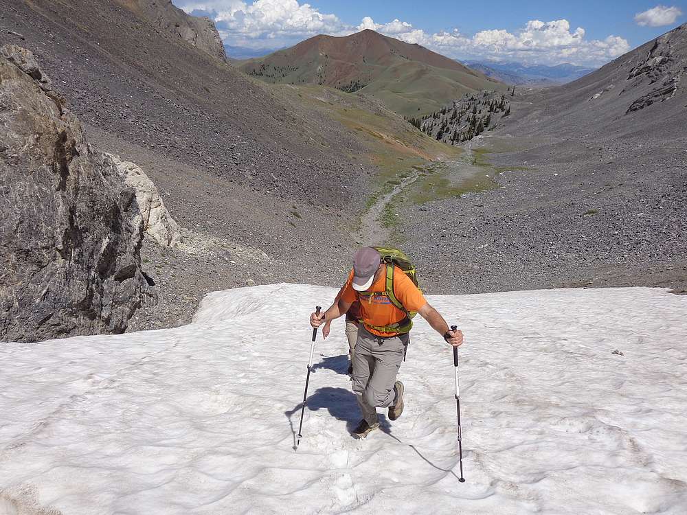
We found some snow in the upper valley. |
Close up of two bighorn rams. |
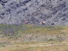
Group of bighorn sheep, ewes and lambs. |
Made it to the saddle at the head of the valley. |
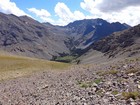
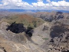
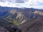
View of Long Lost Creek and USGS Peak. |
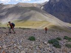
Heading up the talus slopes from the saddle. |
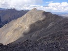
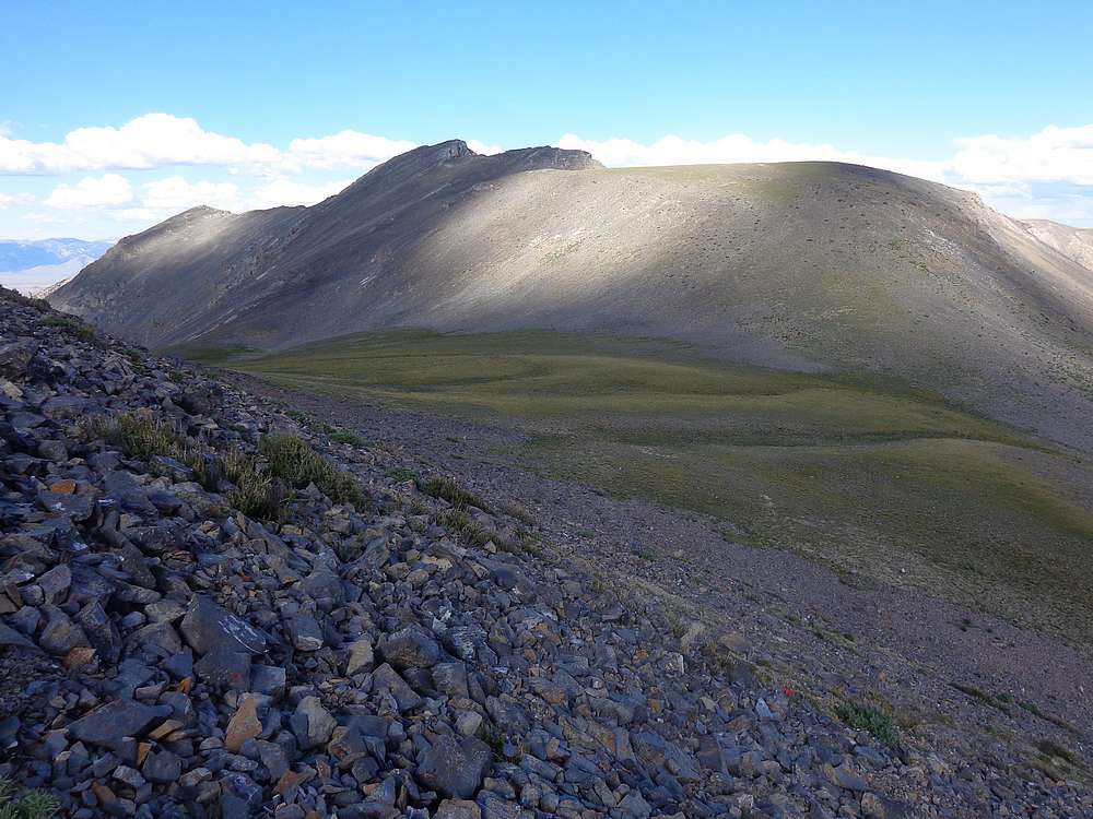
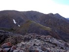
Ferguson Peak from the start of the southeast ridge. |
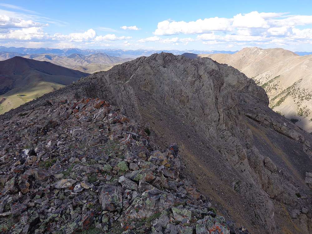
Typical conditions on the ridge. |
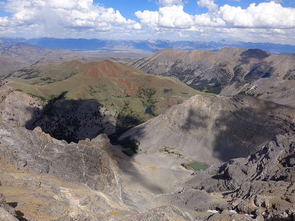
Swauger Lakes below, Bell Mountain in the distance. |
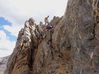
This down climb section was the crux of the day. |

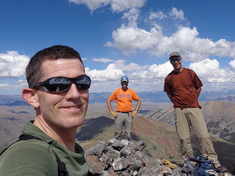
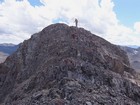
Victory shot on summit of Ferguson Peak. |

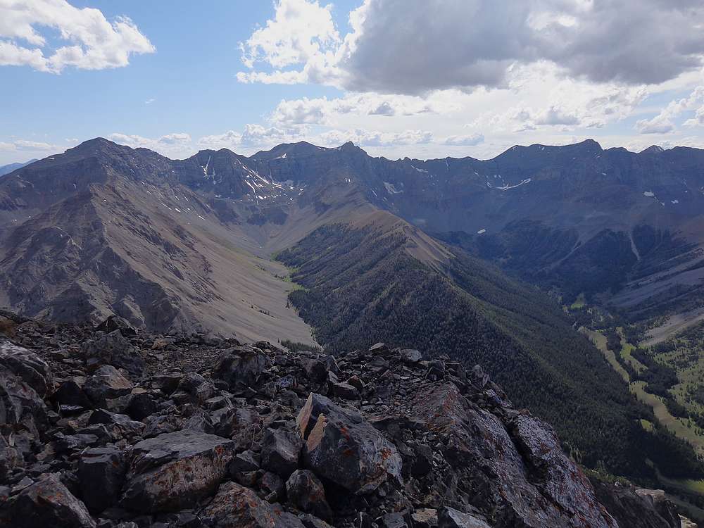
The main Lost River crest, including Mount Breitenbach. |
Mount Borah in the distance from Ferguson Peak. |
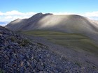
Longswauger Peak from the saddle. |
Summit of Longswauger Peak. |
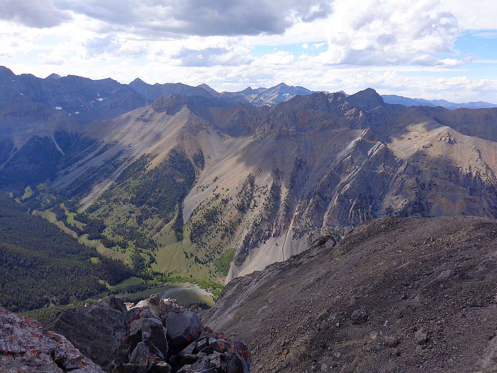
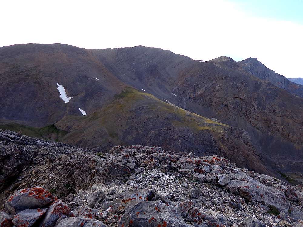
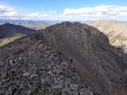
The long southeast ridge of Ferguson Peak from Longswauger Peak. |
|
|
|