|
Wilson Peak
A nice hike in the Boise Mountains
Wilson Peak is located in the Boise National Forest, north of Idaho City. The mountain can be reached from a few different directions, and is accessible via an ATV trail that crosses the summit. The trail sees some traffic, but I would guess you’d have the area to yourself on most weekdays.
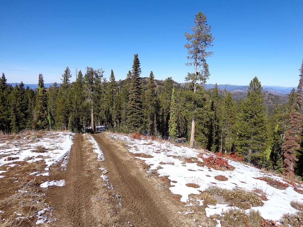
The autumn weather was too nice not to be out in the mountains, so I scanned some maps for a hike close to home, and decided Wilson Peak would be a good destination. Plus there was a second peak along the way for a two-fer! I packed quickly, made the 90 minute drive from Boise, and was hiking down FS Trail 690 (north of Freeman Peak) by 1:30pm. The trail is a double track ATV route that is well used. A couple ATV’s passed me just after I left the trailhead, but they were the only ones I saw all day.
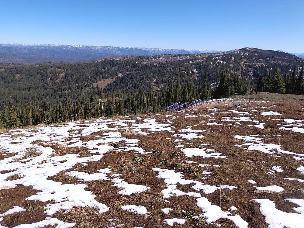
The trail was a little snowy on the north facing slopes, so I had to be careful. The route followed an undulating ridgeline, which provided good views as I hiked, including the Sawtooths to the east. After dropping a few hundred feet, I then reclimbed and reached Peak 7905’. (I’m going to nickname this one Freewill Peak since its halfway between Freeman Peak and Wilson Peak.)
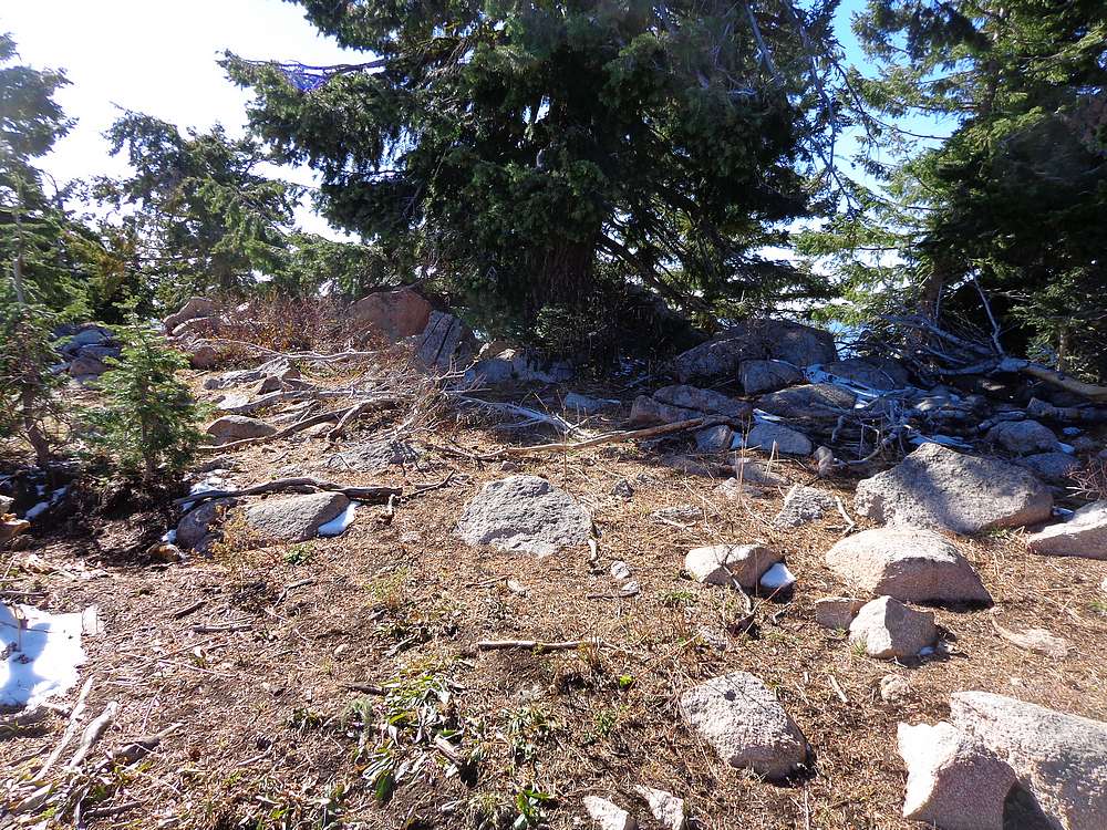
I briefly explored the summit area on Freewill Peak, and then continued along the trail as it hung a left and curled southwest toward Wilson Peak. The views were nice as I descended to the next saddle, then made my way up through the trees to reach Wilson Peak.
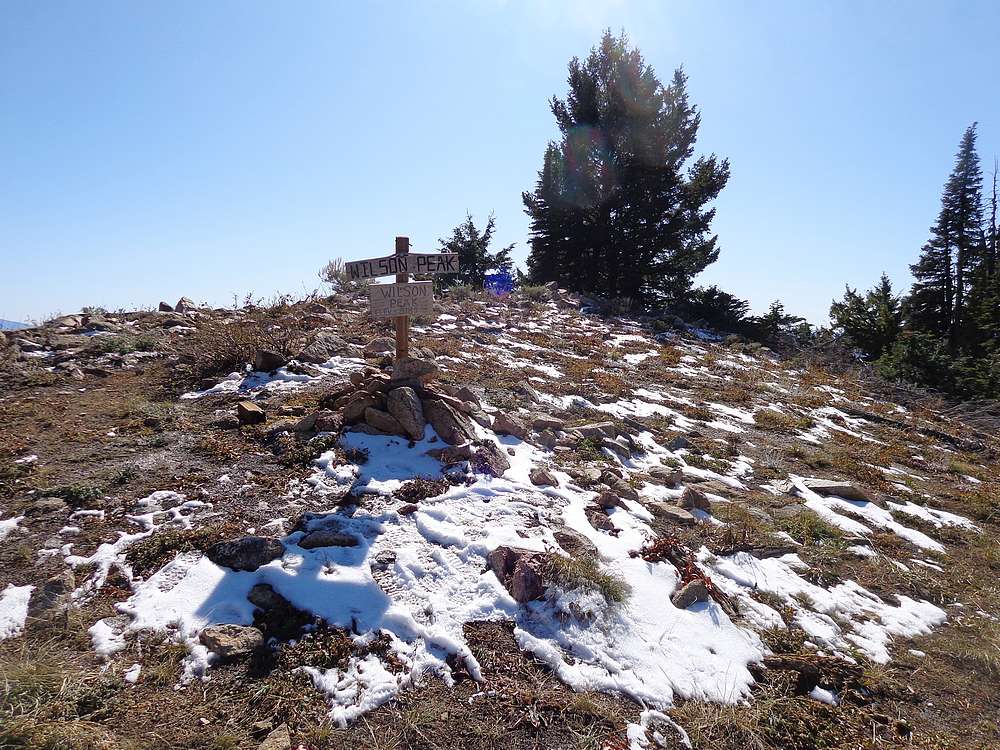
Wilson Peak has a sign on the top with an incorrect elevation, and also a summit cairn. I rested there for a while to enjoy the views and a snack. On the way back, I just retraced the path back to the trailhead. There was actually slightly more elevation gain on the way back since the trailhead is just a bit higher than Wilson Peak.
This ended up being a nice hike not too far from home. Round trip was 8 miles and 2300’ elevation gain in 3 hours of hiking at a brisk pace.
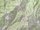
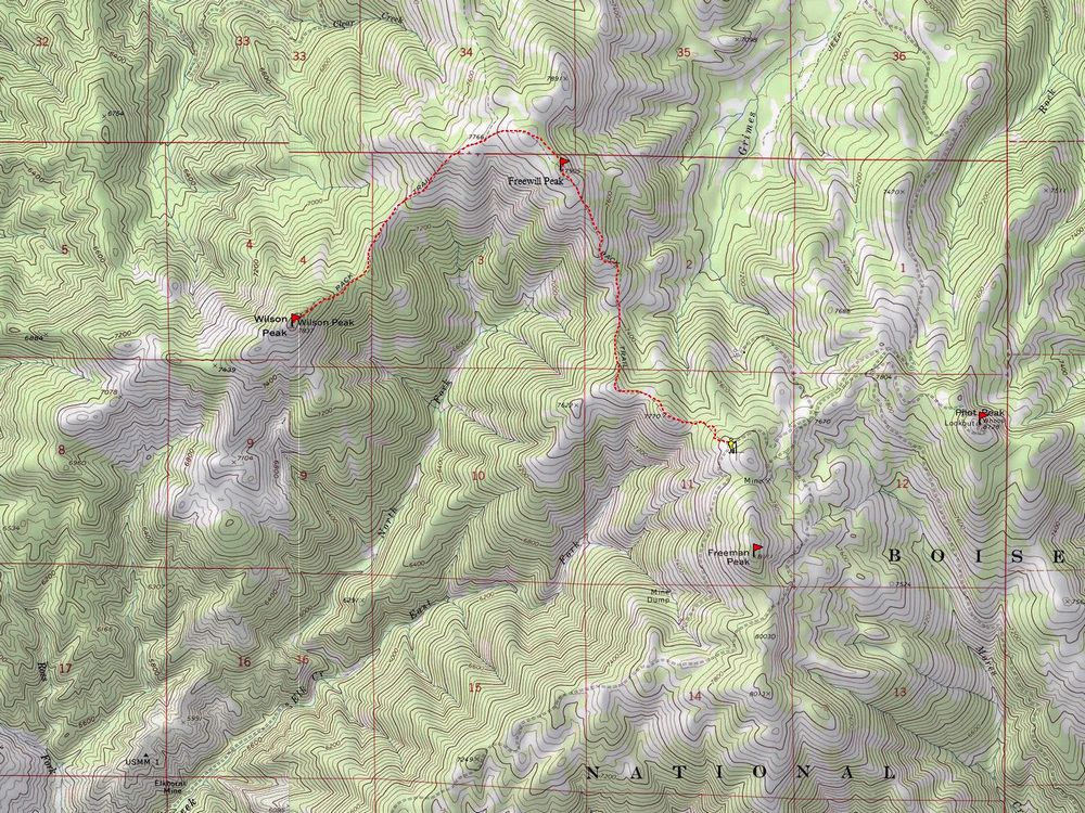
Map of the route, 8 miles and 2300' gain round trip. |
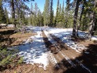
Start of the hike. |
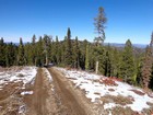
Hiking along the ride, Freewill Peak in the distance. |
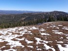
Sawtooths and Pilot Peak from Freewill Peak. |
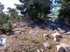
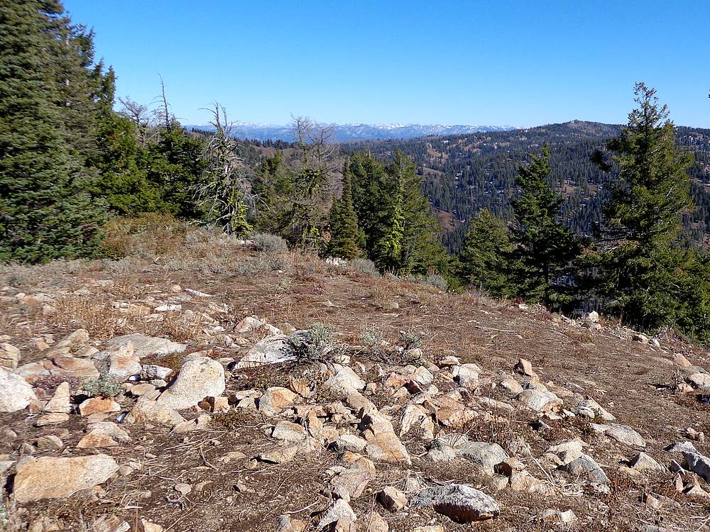
Freewill Peak summit area. |
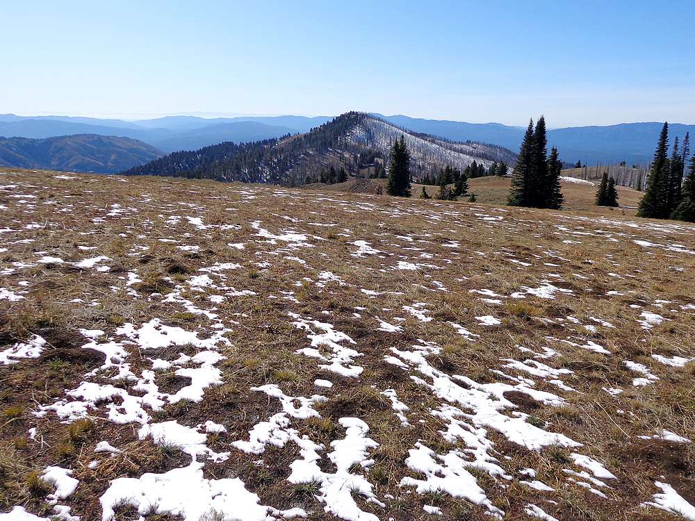
Wilson Peak from the northeast. |
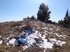
Wilson Peak summit area. |

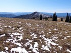
Wilson Peak summit view east. |
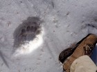
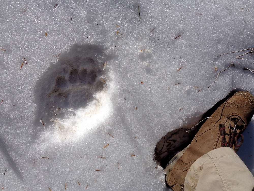
Bear tracks in the snow. |
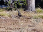
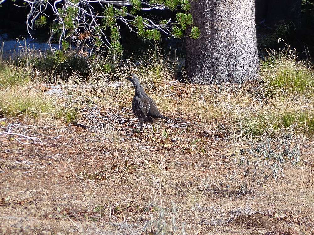
Close up shot of a grouse by the trail. |
|
|
|