|
Watson Peak (attempt)
A winter White Cloud overnight adventure
February 3-4, 2012
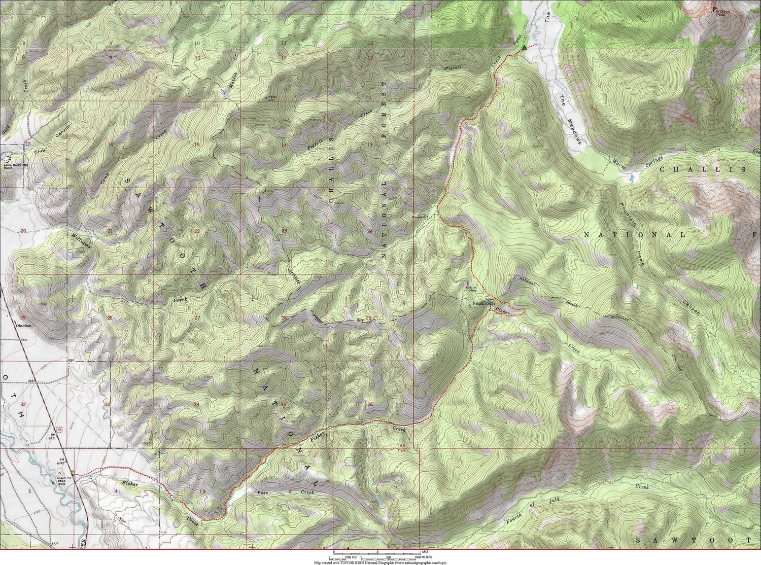
Watson Peak is located deep in the heart of central Idaho’s White Cloud Mountains. It is one of the more remote peaks in the range, and is the highpoint of the ridge that separates Iron Basin from The Meadows. Splattski and I had been talking for a few years about attempting a winter ascent of the peak. There was a long but mellow approach to reach the base of the peak, and the south ridge looked to be low avalanche risk. We chose a weekend well in advance, and were pleasantly surprised when the weather cooperated enough to allow us to take a shot at it. The forecast was for sunny skies, and overnight lows of around zero degrees. Plans were set. Our goal would be to cover the 30ish miles in two days, using skis for the approach.
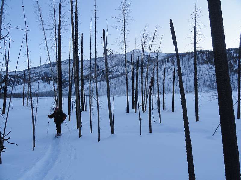
We hit the road early and made it to Stanley by about 8:30 am. It was indeed clear and sunny, but the thermometer in the Durango reported a chilling negative 22 degrees! Luckily for us it warmed up to a balmy negative 15 degrees by the time we reached the pullout by Fisher Creek road. But we were undeterred! So we layered up, loaded up our gear on the sleds, and began making our way up the plowed packed road. I’d been a little apprehensive about the ski approach since I hadn’t been on skis for about 20 years, but fortunately things went smoothly and I got into groove quickly, with the gear sled in tow. After about a mile and a half, the plowed section ended and we were heading up the trail. Our progress was slow but steady, and the scenery was great. The temps stayed cold, but there was almost no wind so we were comfortable. We entered a large burn area higher up, and pressed on toward the saddle above the Aztec Mine. At least that’s where we meant to go. Just short of the saddle we inadvertently detoured to the east, a miscue that would cost us a precious hour of daylight and a fair amount of energy.
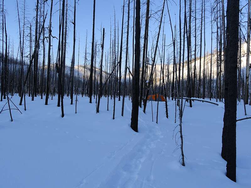
Eventually we reached the ridgeline and started the descent toward our intended base camp location down in The Meadows. We wound our way down into the valley, snaking our way through a seemingly endless forest of charred snags. John advised that we’d need to stop to set up camp at 5pm regardless of how far we’d gotten. We were pretty tuckered out by the time our deadline arrived, but it seemed like we were almost there, so we agreed to go another 15 minutes, and another 5 more. Our peak finally came into view and we stopped to set up camp at just before 5:30. At this point we were pretty tired, but worked with a sense of urgency to get the tent set up before the sun went down and things went into a total deep freeze. The first step was to stomp out a firm tent platform in the snow. Next we put op the tent. John began the long process of melting snow for our water supply while I did my best to line out our gear inside. We could feel the temps dropping quickly, and it was a welcome feeling to shed my frozen ski boots and climb into the Denali rated down sleeping bag that John had loaned me.
John had the snow melting routine dialed in, and made enough for Mountain House dinners and then more to fill all our water bottles for the next day. Temps continued dropping, and we wolfed down dinner and turned in for the night. With the brutally cold temps of 20 below zero, and a fair amount of fatigue, we slept past the early alarm. By 7am, we started seeing some daylight. John fired up the stove for breakfast and we discussed our options. It was a little late, but decided to take a shot at the peak. While we were getting dressed, I realized that my orthotics were still frozen into the ski boots, and I couldn’t get them out to put them into my warmer hiking boots. So I jammed my feet into the ski boots and off we went.
Once we reached the creek, we found that it wasn’t fully frozen and there was no obvious place to cross. Plus, my feet had lost feeling. At that point we decided to head back to camp. Once back in the sleeping bag, my feet began to thaw. It took at least 20 minutes before the “burning needles” sensation stopped. In hindsight, the unfrozen creek was a blessing in disguise. Had it not been for that, I would have likely pressed on further, and possibly caused more permanent damage to my feet. Once the sun was fully up, we broke camp and hit the trail by about 10am. I put on snowshoes for the climb back to the saddle and John skied on ahead. I was bummed not to summit, but I was consoled by the fact that it was a beautiful day. It took a little over 4 hours to get back to the saddle. From there, it only took about 2 more hours to ski the now packed trail back to the car, and we arrive just a little before the sun went down.
The memory of the experience and adventure of this trip is going to live on for a long time with me. Even without reaching the summit, it was still a very rewarding trip. Spending the night out in such extreme conditions gave a real sense of accomplishment. I’m already looking forward to a return trip.
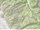
Map of our route, 23 miles round trip with 2500' elevation gain.
|

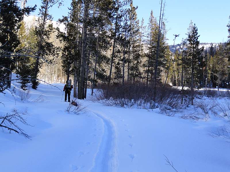
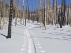
On our way up Fisher Creek.
|
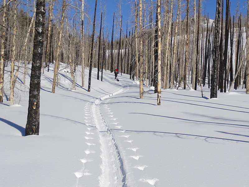
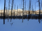
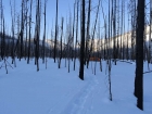
In the burn area.
|
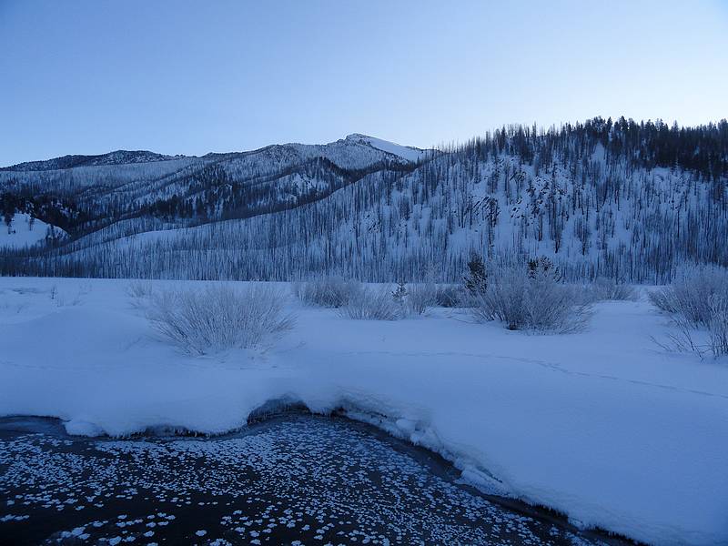
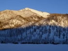
Watson Peak comes into view after a long day.
|
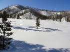
Close up of Watson Peak above The Meadows area.
|
Our campsite awaiting the morning sun.
|
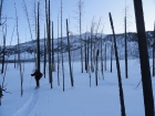
John on the way back from our morning exploring trip.
|
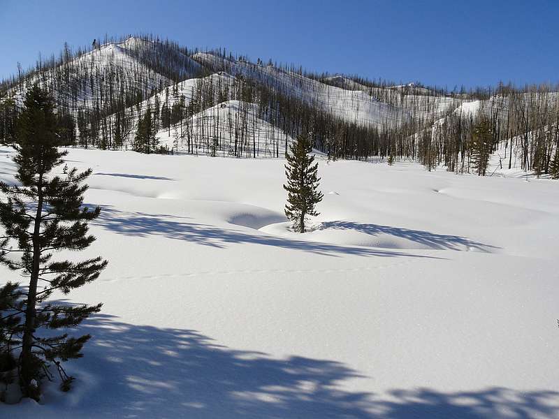
Open meadow where we stopped for a snack on the way out.
|
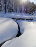
Winter scene on Fisher Creek.
|

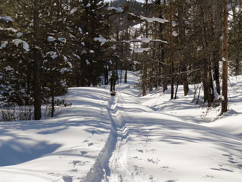
Heading back down the trail.
|
|