|
Banner Peak
Elevation 8848'
Banner Peak is located on the northwest fringe of central Idaho’s Sawtooth Mountains. It is accessible year round and is a great winter objective starting from the parking spot at Banner Summit. The route along the northwest ridge is easy to follow, and partially forested, so a good winter option when avalanche conditions are safe.
I’d had Banner Peak on my snowshoeing wish list for a while. So with a beautiful day forecasted, stable snow conditions, and a couple willing partners in JJ and Pam, it was finally time to get after it. We made the 2.5 hour drive from Boise to Banner Summit, and were on our feet by 10am.
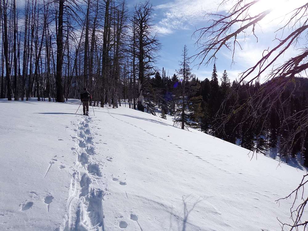
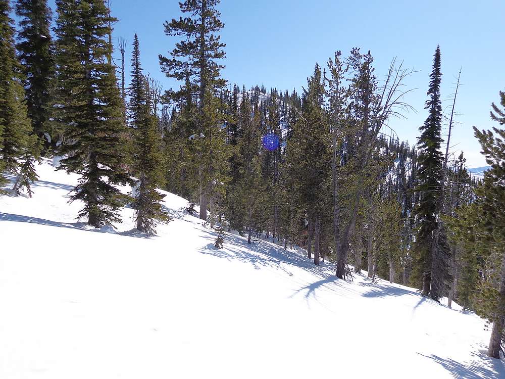
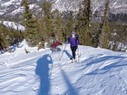
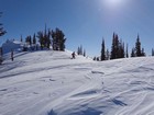
There were ski tracks leading the way from the parking lot. (Yes we stayed off of them.) We wandered through the trees for a while, then up the slopes toward Pt 7523’. The sun was out and we were peeling off layers in no time. After a brief descent to a saddle, the uphill began in earnest.
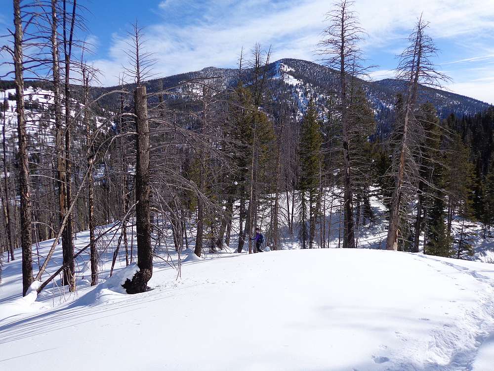
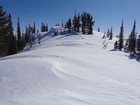
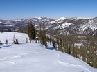
Once to Pt 8228’, the grade relaxed a bit and we were able to take in some views while heading south along the ridge. Soon enough, it was time for the final steep stretch to the summit. There were a few snow berms to deal with, which added to the effort. After 4 hours of trail breaking, the summit was a welcome sight.
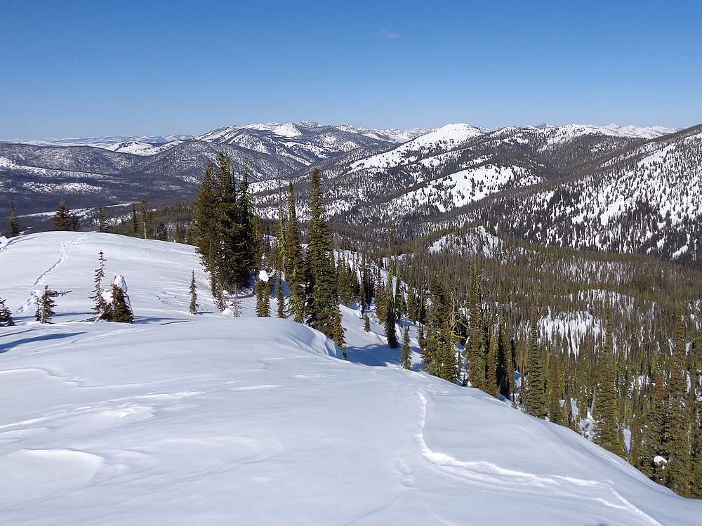
We’d been blessed with almost zero wind the entire day, but the summit was a little breezy. Still not bad, and a great spot for a PB&J We had great views in all directions. Copper Mountain to the north was prominent. And we could just barely see into the jagged heart of the Sawtooths to the south. With almost no clouds in the sky, we could see a long way in all directions.
Once we were sufficiently chilled, it was time to head back down. Thanks to a good trail, descent only took us half as long as the climb. Round trip was just over 6 miles and 2400’ elevation gain in 6 hours. A fantastic February day in the mountains.
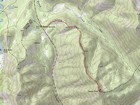
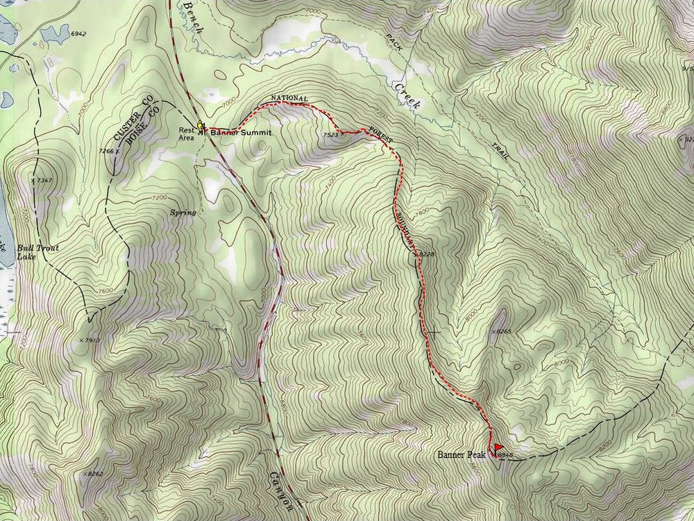
Map of the route, just over 6 miles and 2400' gain round trip. |
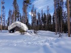
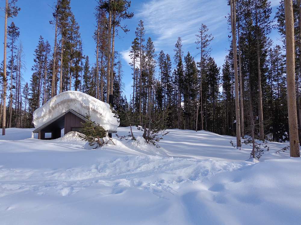
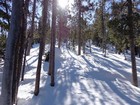
Banner summit trailhead. |

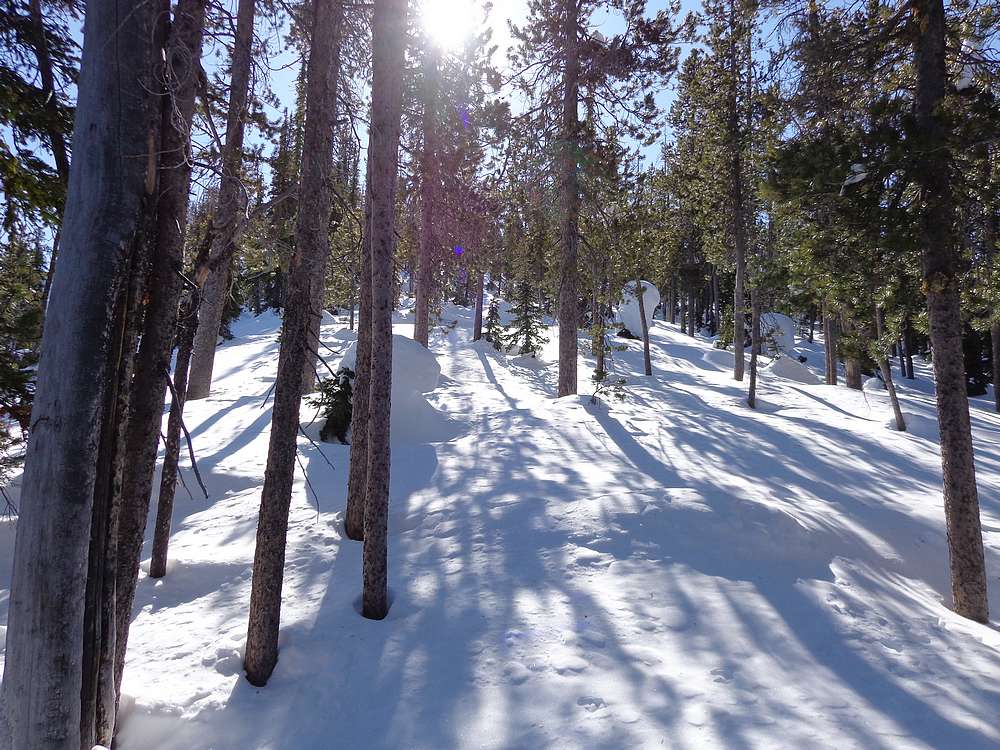
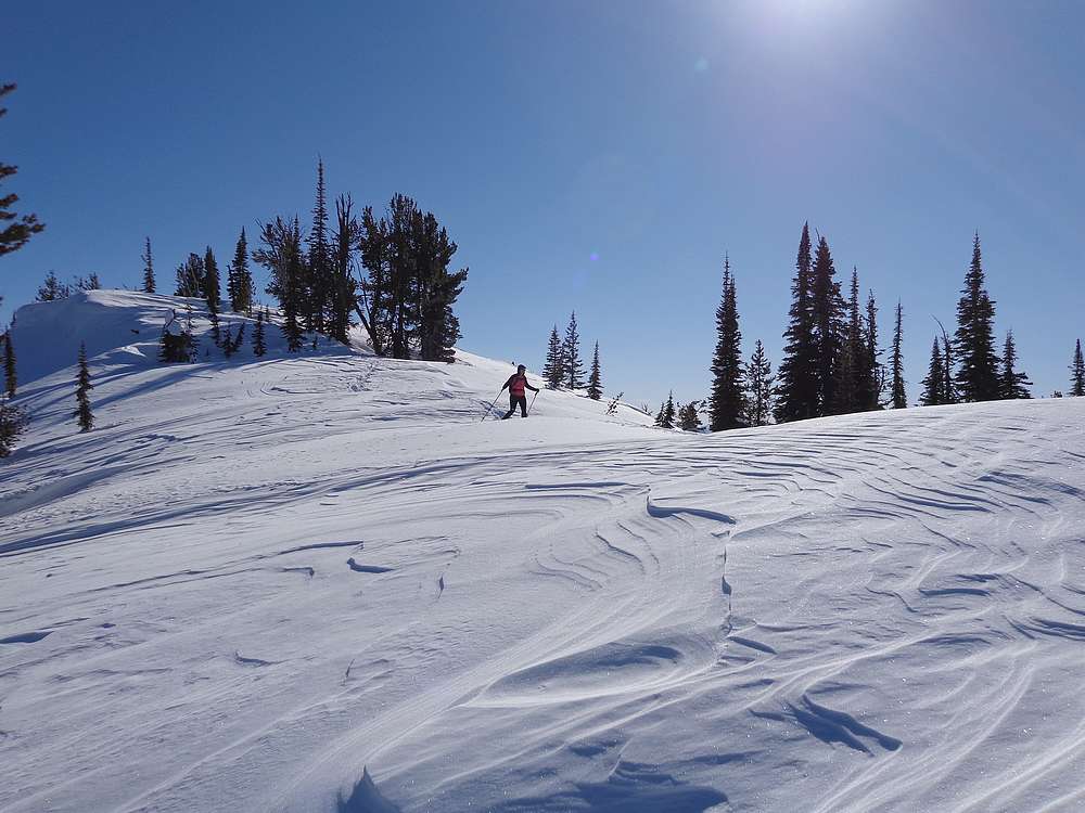
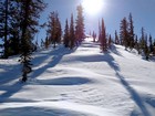
Heading up. |
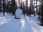
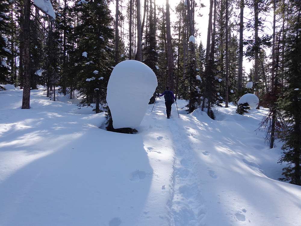
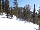
Snow blobs along the way. |
Brief descent to the saddle. |
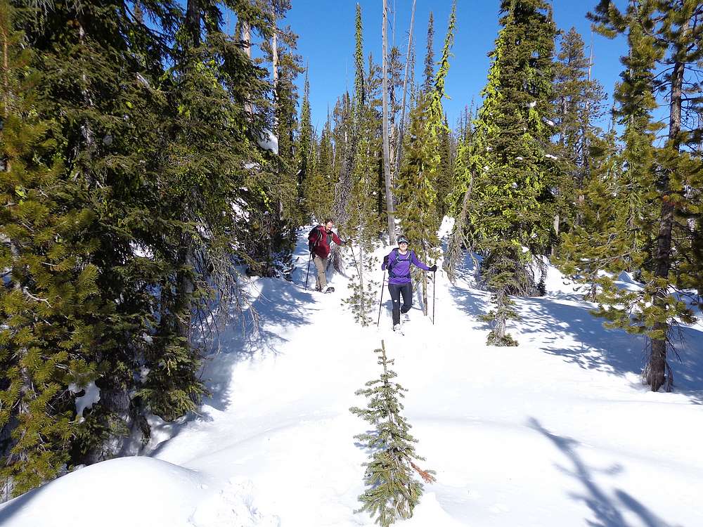
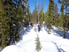
Making our way up through the trees. |
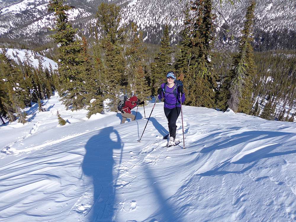
Still feeling good. |
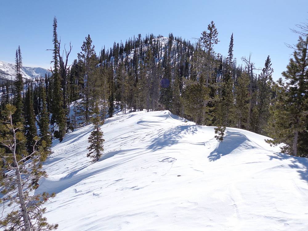
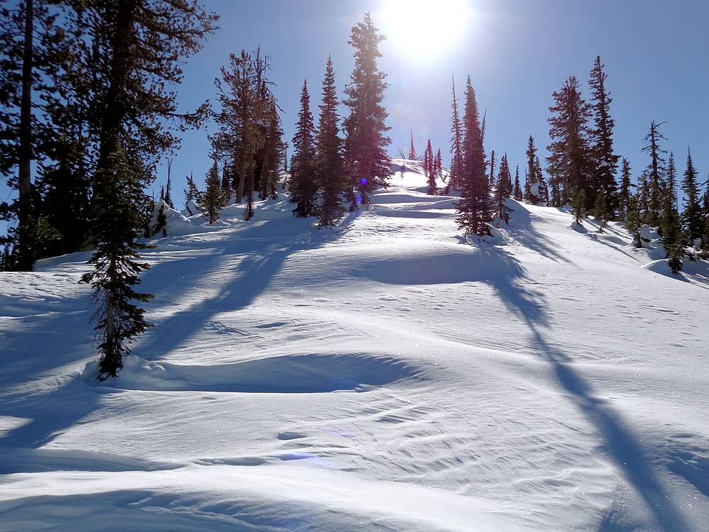
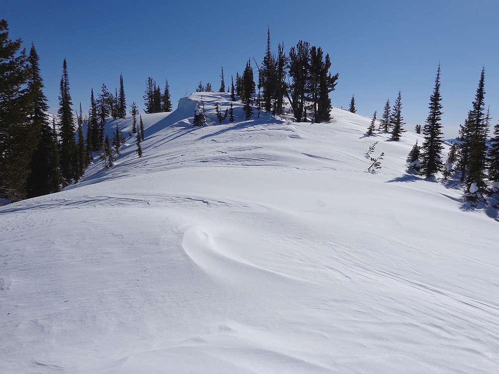
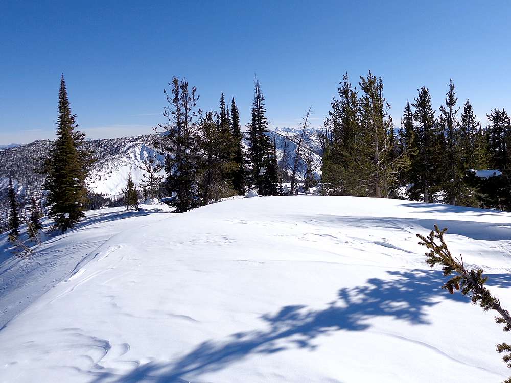
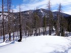
First view of the summit block. |
Final steep stretch to the summit. |
Are we there yet? |
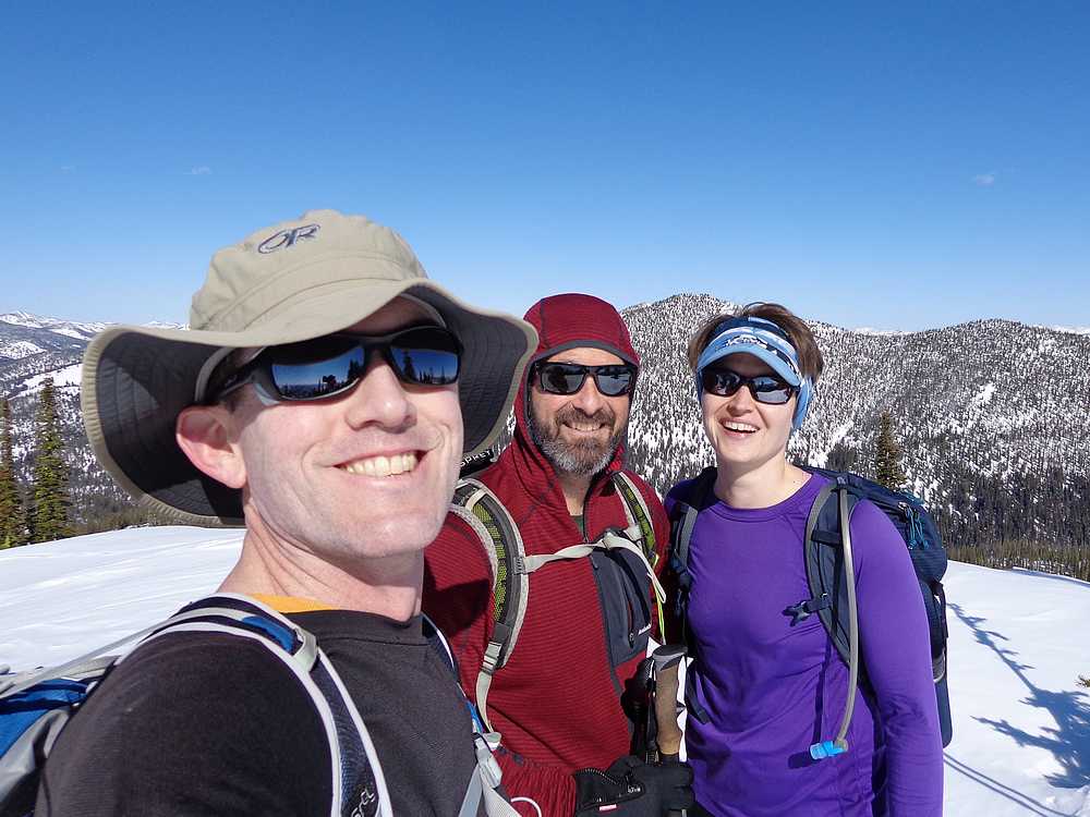
Summit of Banner Peak. |
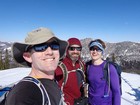
Victory shot on the summit. |
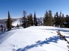
View south into the Sawtooths. |
Copper Mountain and Cape Horn Mountain to the south. |
Heading back down. |
|
|
|