|
Smoky Dome Loop
|
Related Links:
- IdahoSummits Trip Report
- Trailhead Location
- My GPS Tracks
- North Smoky Dome: TL, LOJ, Map
- Smoky Dome: TL, JP, SP, PB, LOJ, Map
- Third Peak: TL, JP, PB, LOJ, Map
- Second Peak: TL, IS, PB, LOJ, Map
- First Peak: TL, JP, PB, LOJ, Map
|
The Soldier Mountains are located in central Idaho, and the main crest of the range soars almost five thousand feet high above the Camas Prairie to the south. The highest peak in the range is Smoky Dome, rising to an elevation of 10,095’. The standard route up Smoky Dome climbs from the southwest. But it is also possible to do a more adventurous approach from the east, and create a 5 peak loop including a traverse of the main soldier crest.
I’d had this trip on my wish list for quite a while. So when the opportunity presented itself on short notice, I was ready to take it on. The drive took about 2 hours from Boise, to Fairfield, through the ski resort parking lot, and finally to the trailhead at the head of the south fork of Soldier Creek.
I started hiking about 9am, following a dual track trail open to ATV’s. I had the trail to myself, and followed it for just under three miles before heading cross country at the base of the ridge leading up the west side of North Smoky Dome (Peak 9937’).
North Smoky Dome is a worthy destination all by itself, and the west ridge is very scenic and easy to follow thanks to an intermittent game trail that traces most of the route. The route has shady tree cover at first, then opens up to some amazing views once above tree line. The last 1000’ below the summit is a little steeper with some talus to deal with, but not bad.
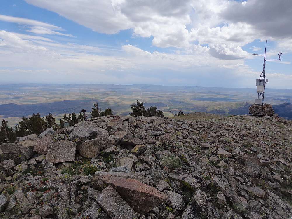
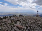
The summit of North Smoky Dome was the first big milestone of the day, and it felt good to have nearly 4000’ of climbing knocked out. The views were exceptional, and I could now see there were no major obstacles on the route to Smoky Dome. So after dropping 400’ and climbing 500’ more, I stood on the summit of Smoky Dome. With amazing views in all directions, it was a great place to stop and enjoy a PB&J.
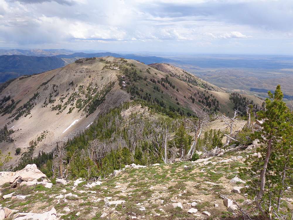
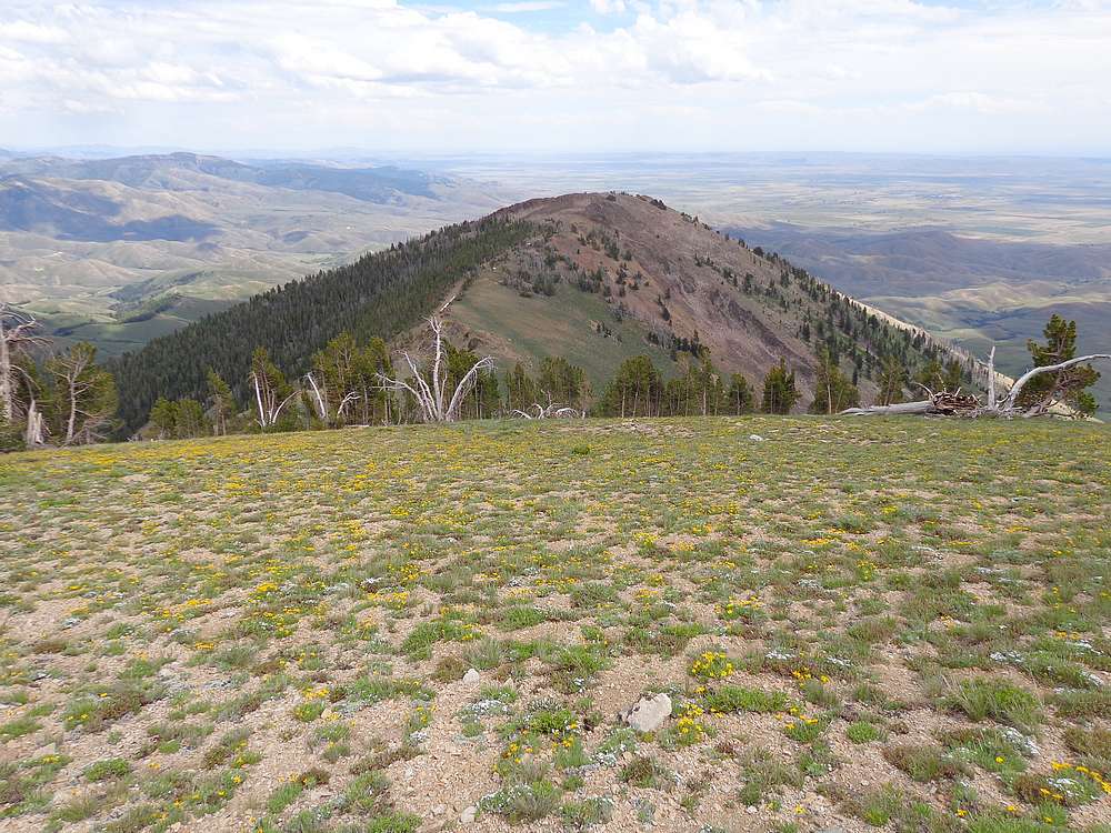
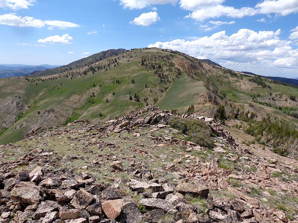
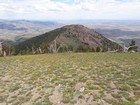
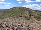
From Smoky Dome, it was “mostly downhill”, but I still had a lot of ground to cover. I descended to the southeast, and then up “Third Peak” (9666’) which had great views looking back on the Domes. Then I continued down, and then up “Second Peak” (9529’). Views continued to be great from here. And next, down the wildflower covered slopes and up “First Peak” (9147’).
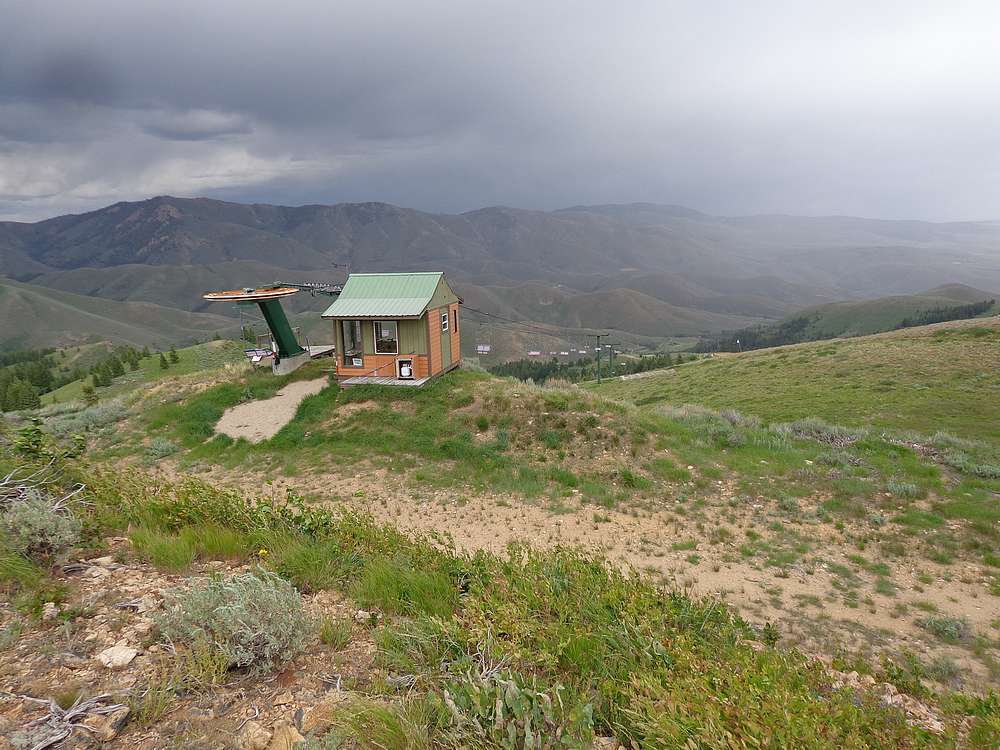
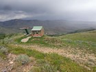
I headed downhill to the northeast from the summit of First Peak. Open terrain at first, then into the trees, over a couple creeks, and then to the trailed saddle were the ski resort has a backcountry yurt. I followed the road/trail to the top of the ski area, and continued down the road/trail almost back to the car, with just a little bushwhacking to get down.
It had been a beautiful day in the mountains with fantastic weather and highly scenic alpine terrain. Pretty hard to beat. Round trip was just over 14 miles, 6000’ elevation gain in just over 8 hours of hiking.
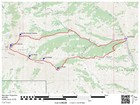
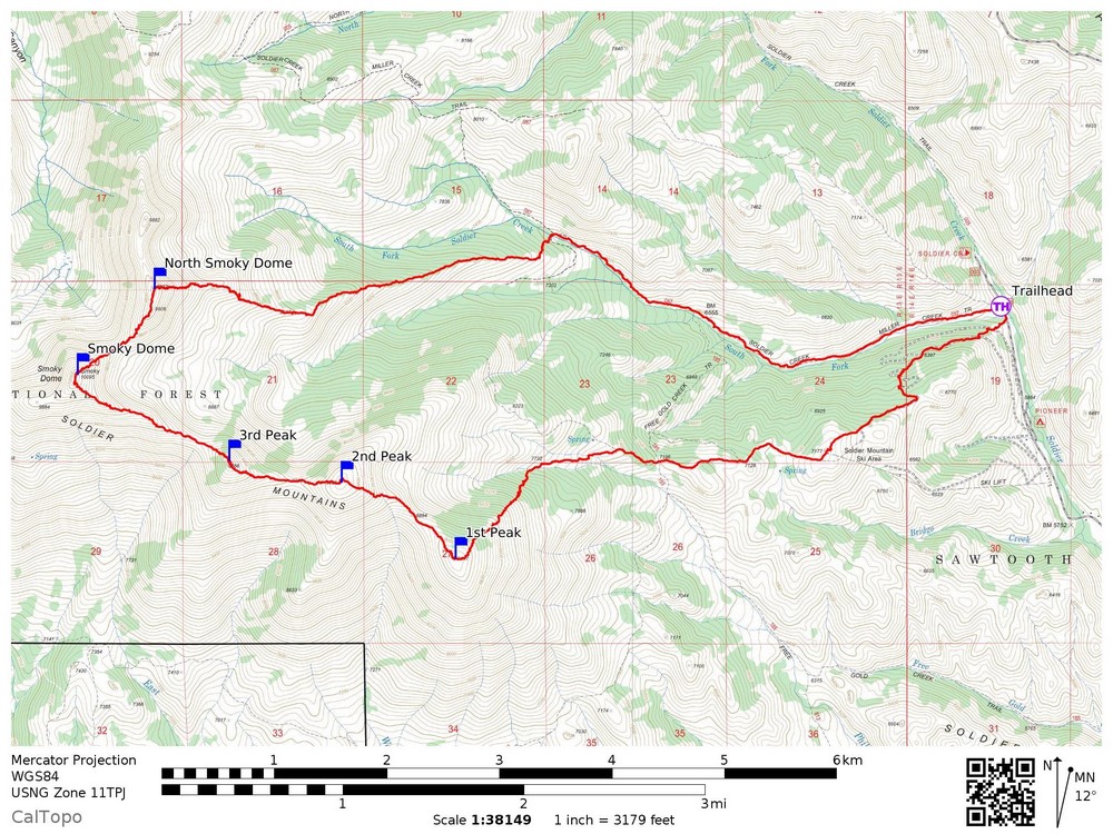
Map of the route, 14 miles and 6000' gain round trip. I went counter clockwise. |
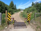
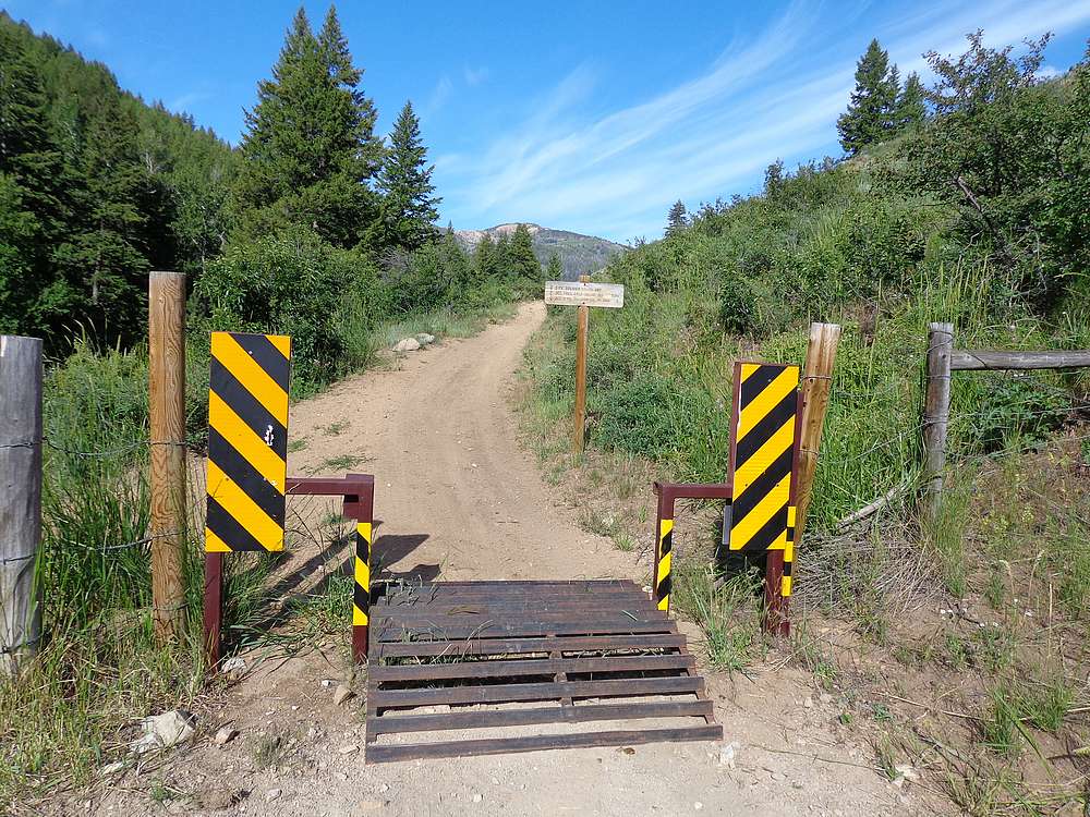
Trailhead at South Fork Soldier Creek. |
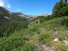
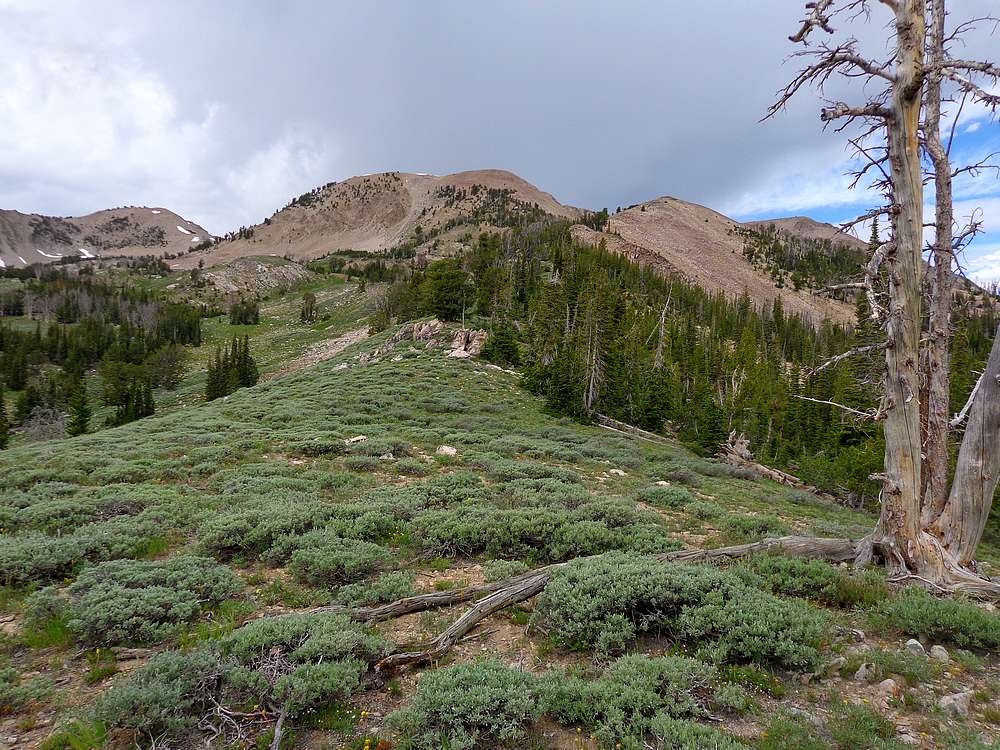
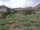
Early view from low on the east ridge of North Smoky Dome. |

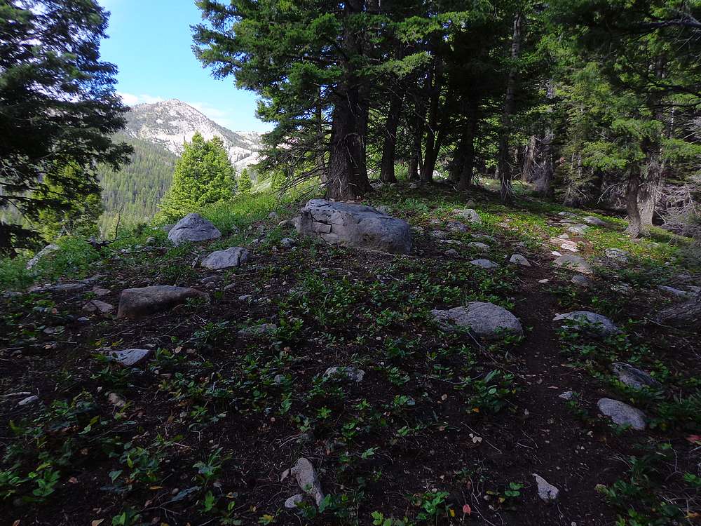
Game trail through the forest heading up the ridge. |
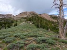
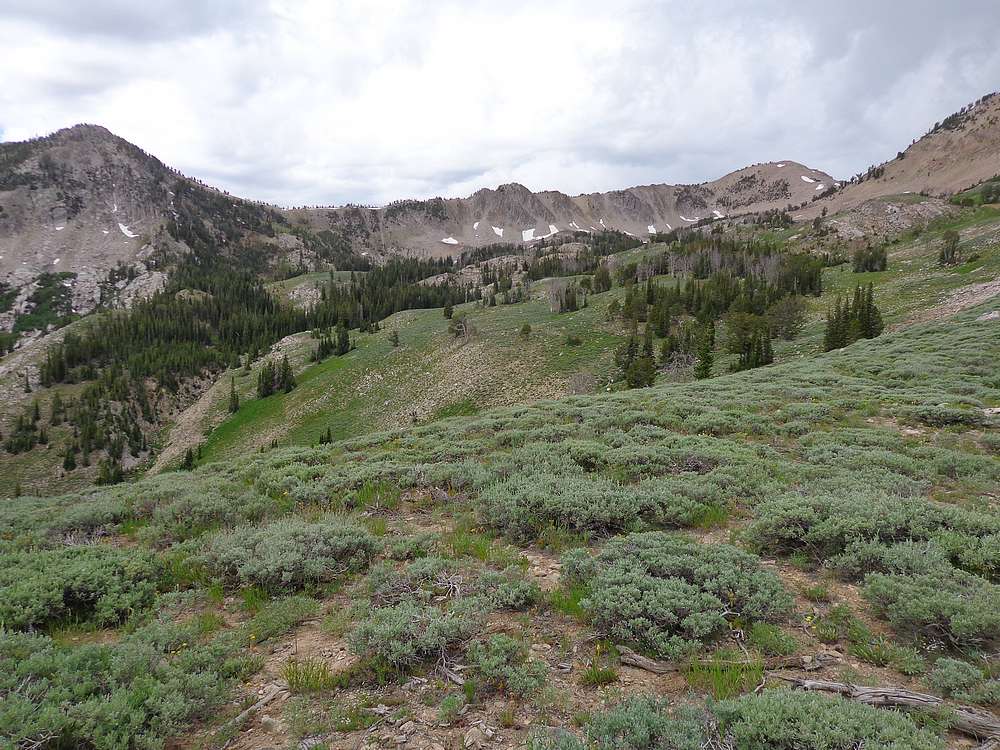
Nearing tree line on the way up North Smoky Dome. |
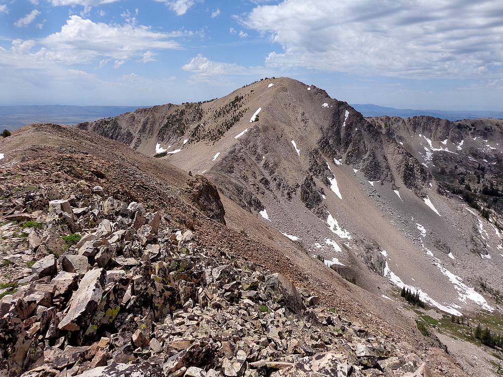
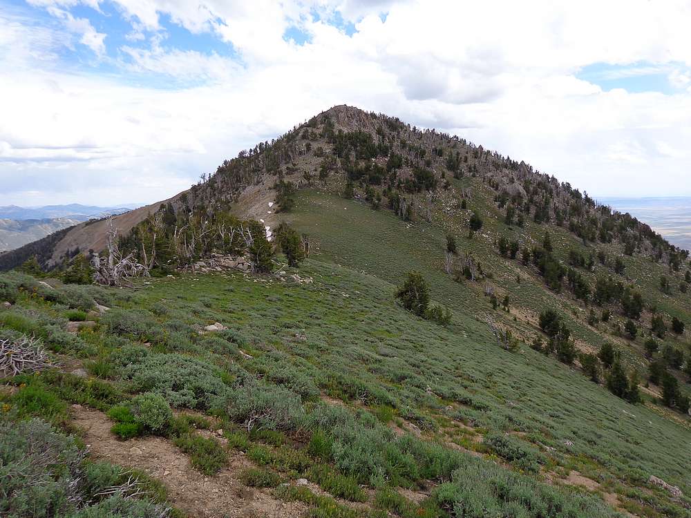
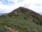
Third Peak and Smoky Dome from the northeast. |
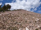
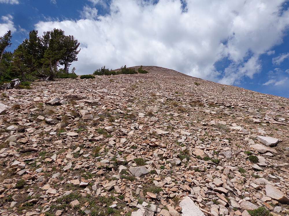
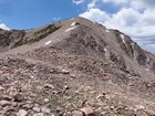
Final climb to the summit of North Smoky Dome. |
Smoky Dome from North Smoky Dome. |
Heading up Smoky Dome from the northeast. |
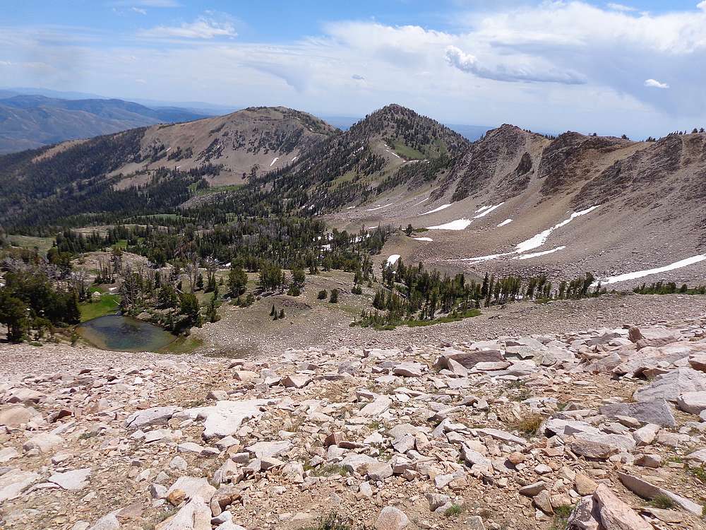
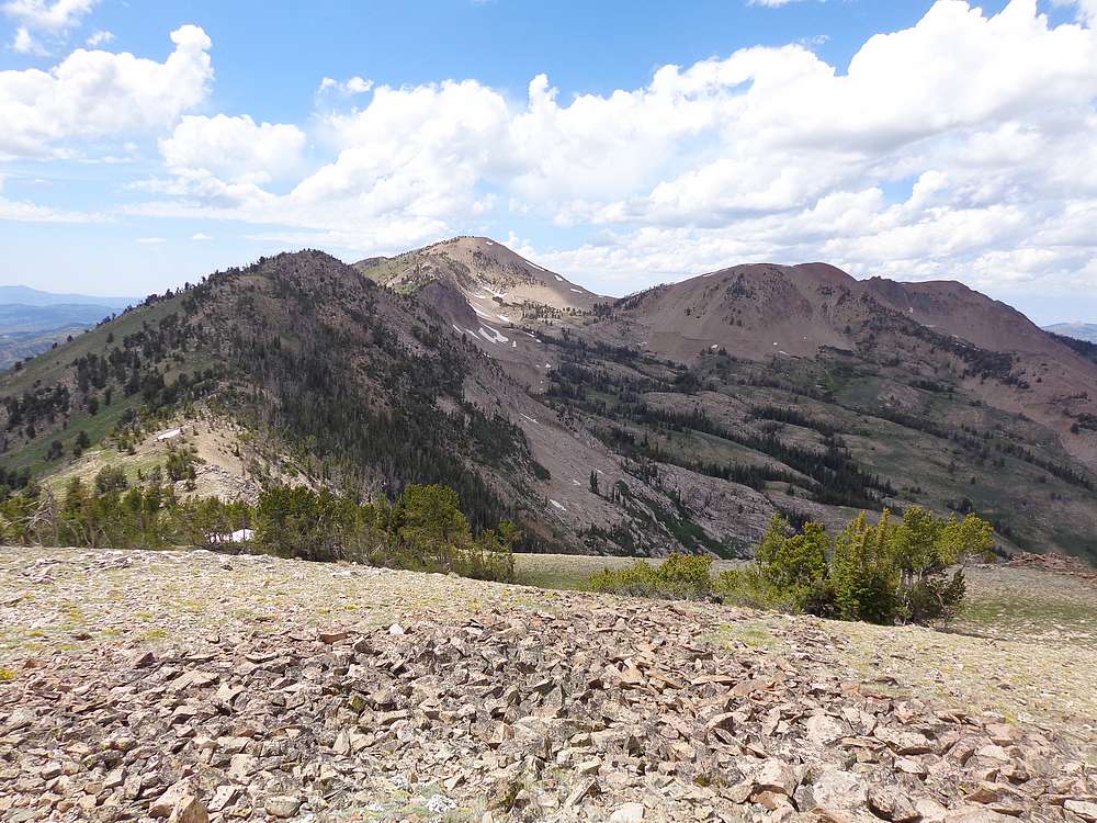
The crest of the Soldier Mountains from the saddle northeast of Smoky Dome. |
Looking back on North Smoky Dome from Smoky Dome. |
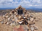
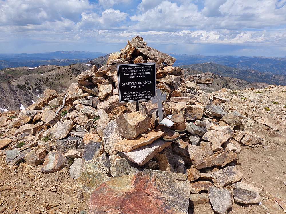
Summit of Smoky Dome. |
About to head up Third Peak. |
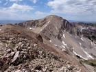
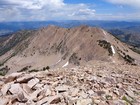
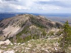
Smoky Dome and North Smoky Dome from Third Peak. |
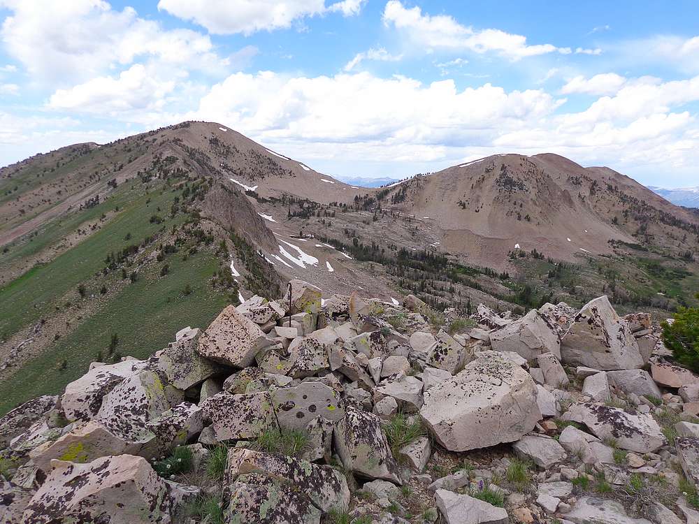
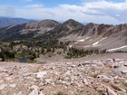
Heading to Second Peak and First Peak, from Third Peak. |
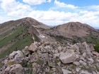
View looking back at the route from Second Peak. |
Summit of Second Peak. |
Descending from Second Peak, to First Peak. |
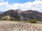
Second Peak from First Peak. |
At the top of the ski area, means the trailhead is in reach. |
|
|
|