|
Amber Peak & Basils
|
Related Links:
Amber Peak
Basils Peak
|
Central Idaho’s Boulder Mountains are located just north of Ketchum, and are home to some rugged and beautiful peaks. Amber Peak and Basils Peak form a scenic backdrop to Amber Lakes, and are a couple of lesser known peaks in the Boulders.
After a 3 hour drive from Boise, including a mutton jam on the highway, Michael and I were hiking by 9:30 from the North Fork Big Wood River trailhead. After about a mile, we hung a left to cross the creek/river, and then commenced with navigating a gazillion switchbacks up the trail the Amber Lakes.
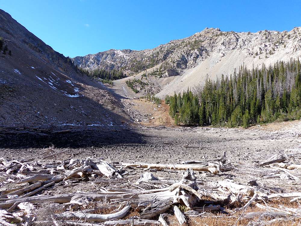
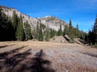
We followed the trail to where it ended at the lowest lake, which was dry in October. We then made our way up the Lake 9028’, which was also dry. This was a good spot for a snack break, and then up Amber Peak we went. The slopes weren’t too steep, just some occasional easy scrambling before we met the ridge about midway between the saddle and the summit. From there, it was a pretty short jaunt to the summit of Amber Peak.
This was a milestone peak for me, my 500th summit attained. Which made my PB&J on the summit all the more rewarding. It was a beautiful day, clear and calm, with some fantastic views of the surrounding peaks in the Boulders, and beyond.
But our day wasn’t done. I noticed the night before that nearby Basils Peak could be within striking distance, but I didn’t have time to research to see it had ever been done from the north. But we were too close not to at least try. We didn’t know what to expect, but figured it was worth a shot.
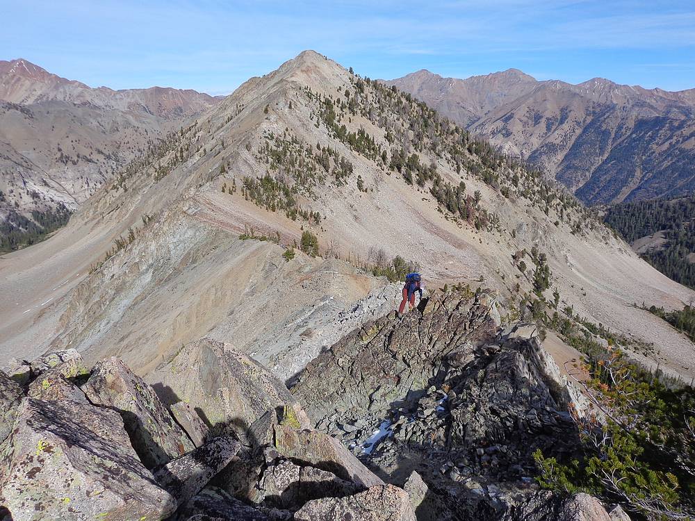
From Amber Peak, we descended to the saddle, and began making our way up the northwest ridge of Basils Peak. We made slow progress up the ridge. The best route wasn’t always obvious, but we just took our time as we wound our way up through various obstacles. Along the way we did some fun scrambling, had few short airy steps, and eventually reached the summit.
The route to Basils Peak was a lot of fun. Good stable rock for the most part, and the adventure of not knowing what to expect. But now we had to figure out how to get down. Backtrack, or take a shorter route down the southwest ridge? We chose the shorter route. From the summit, we couldn’t tell if the route would work out, but with patience we made it to the saddle south of Amber Lakes.
From the saddle, we descended into the Amber Lakes Basin, and then found the trail. Now all that was left was descending the gazillion switchbacks. It had been a great day in the mountains, one of the best days of the year thanks to the fun route and perfect fall weather. My 500th summit on Amber Peak, and Michael later checked and it turned out Basils Peak was his 750th summit. Crazy. Round trip was 13 miles and 4600’ elevation gain in just under 9 hours of hiking.

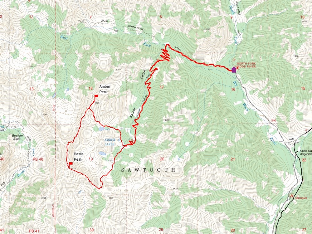
Map of the route, 33 miles and 4600' gain round trip. |
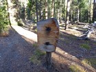
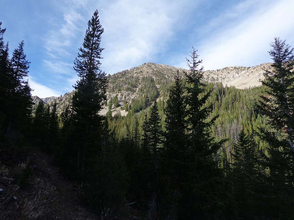
Entering the wilderness area, just after the trailhead. |
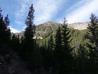
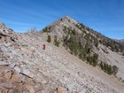
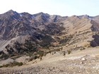
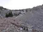
View of Amber Peak from the top of the switchbacks. |
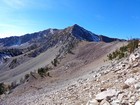
Amber Peak from the southeast. |
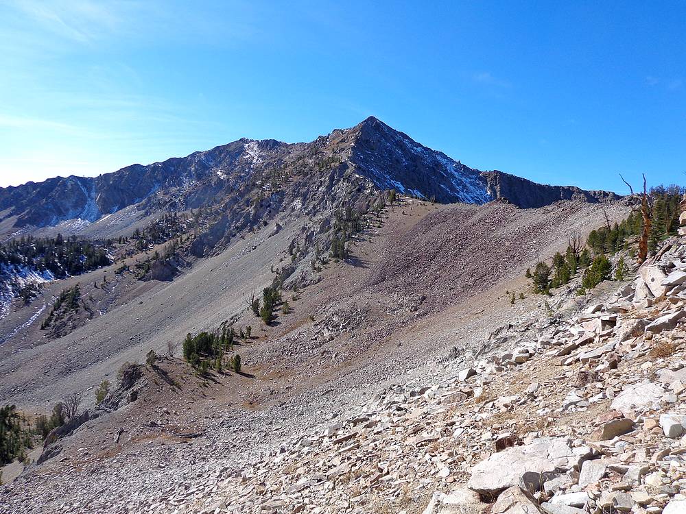
Basils Peak from dry Lake 9028'. |
Basils Peak from the slopes of Amber Peak. |
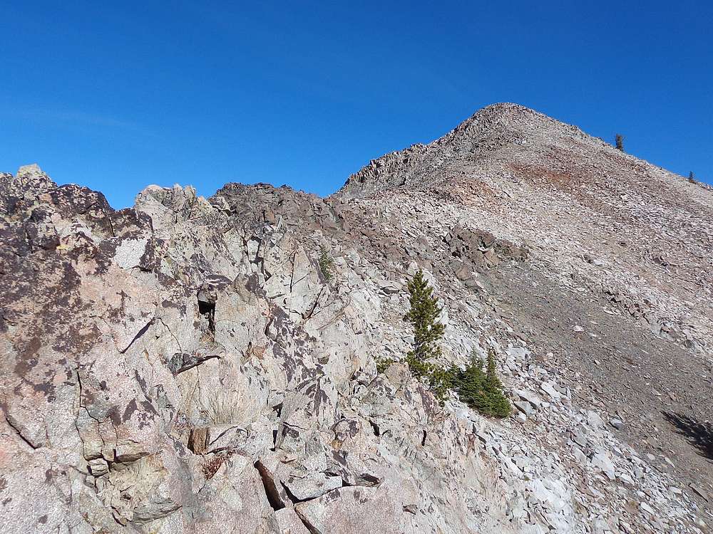
Climbing the south face of Amber Peak. |

South ridge of Amber Peak. |
Nearing the summit of Amber Peak. |
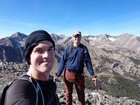
Amber Peak summit shot. |
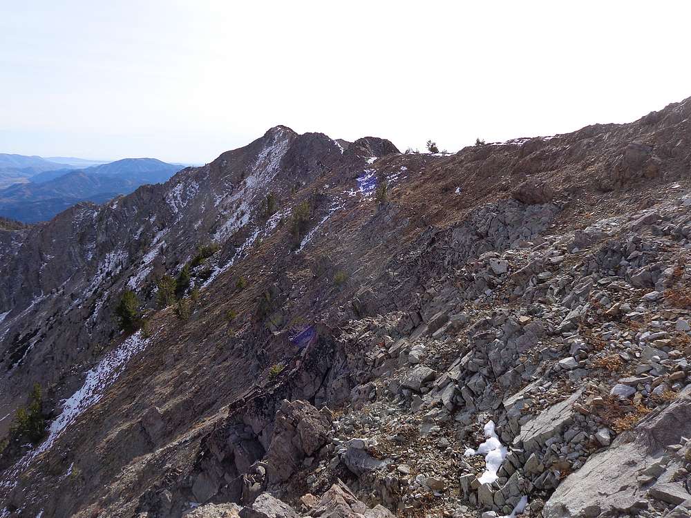
Descending the south ridge of Amber Peak. |
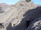
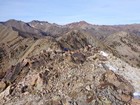
Early obstacles on the north ridge of Basils Peak. |
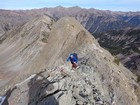
Fun scrambling on the north ridge of Basils Peak. |
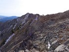
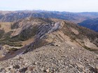
Final stretch to the summit of Basils Peak. |
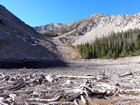
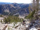
Boulder Basin, west of Basils Peak. |
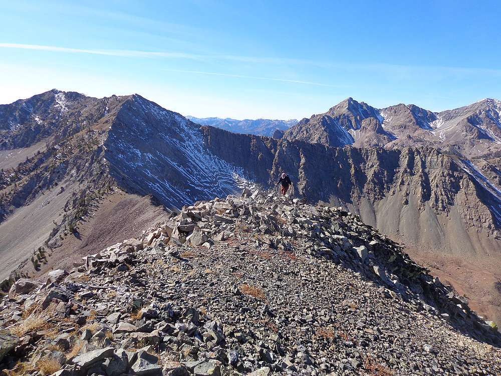
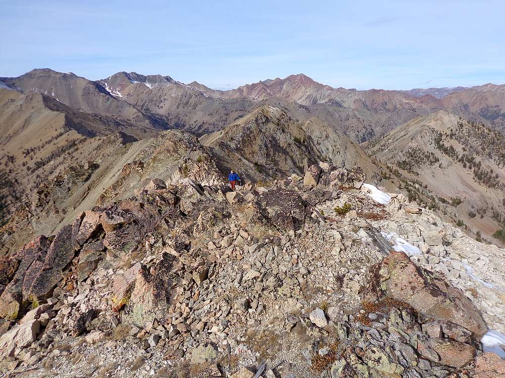
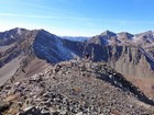
Nearing the summit of Basils Peak. |
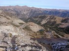
Amber Lakes basin from Basils Peak. |
Looking down the southeast ridge of Basils Peak. |
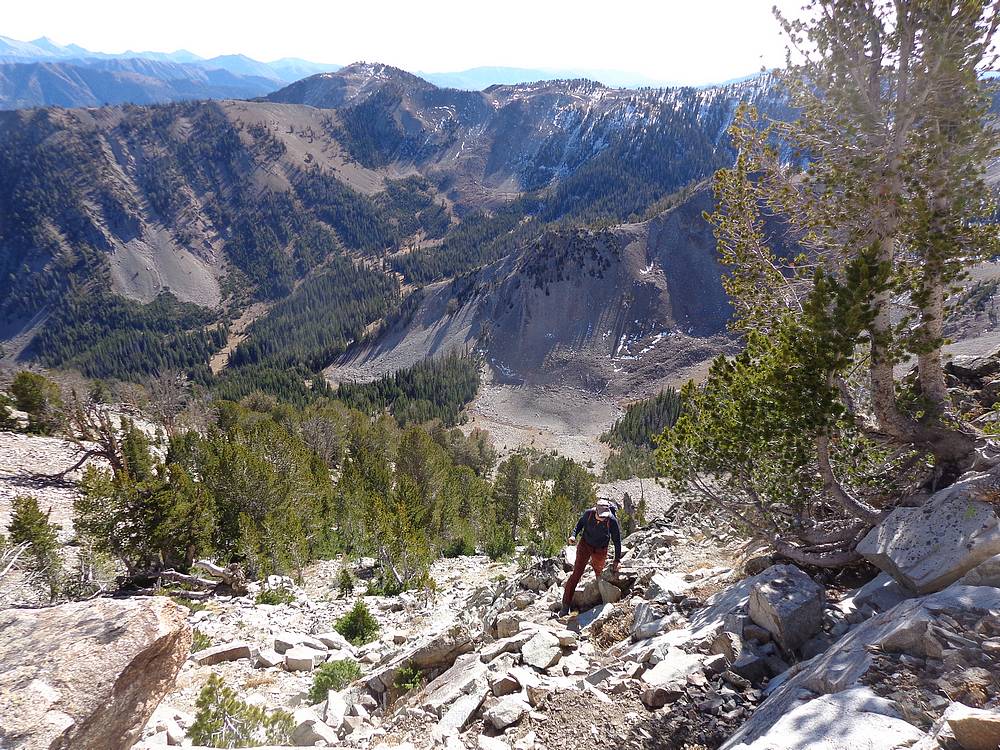
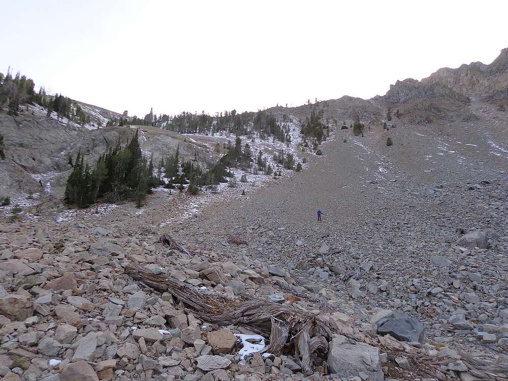
Descending into Amber Lakes Basin from the north. |
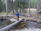
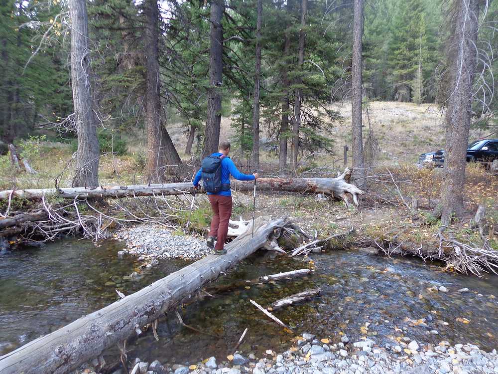
Creek crossing before returning to the trailhead. |
|
|
|