|
Meade Peak
Meade Peak is located in the southeast corner of Idaho. It’s the highpoint of the Pruess Range and is the second highest peak in Idaho south of the Snake River. Meade Peak sports 2497’ of prominence, and it sites on the county line between Bear Lake and Caribou counties, making it the highpoint of both counties. Will all these distinctions, Meade Peak is a popular objective for many peak baggers. Plus there is a second peak, unofficially named Mount Mansfield, just to the south that makes for a nice two-peak day.
After a long drive, Michael and I parked at the end of the road, around 7600’, in the right hand fork Georgetown Canyon. The upper section of road is very bumpy and not advisable for anyone who values the paintjob on their vehicle. We hit the hay around 1am.
We had not previously discussed the finer details of the hike. So the next morning on our way up the trail, we decided to follow the valley up until we could head uphill to the saddle south of Mount Mansfield, and then traverse the ridge over Mansfield and then to Meade.
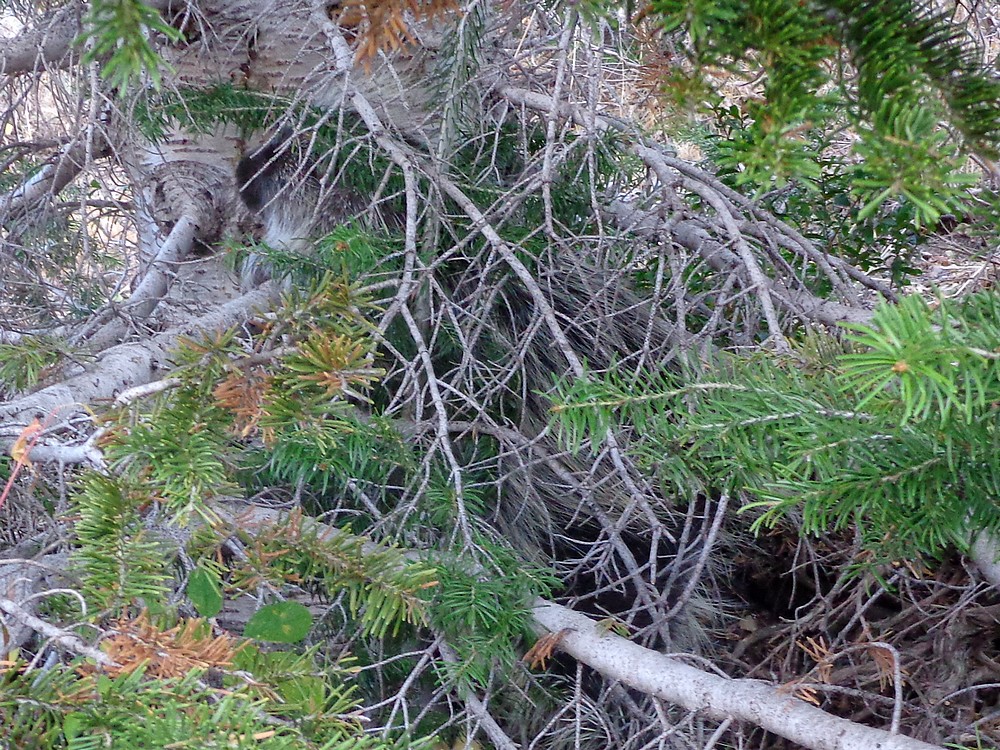
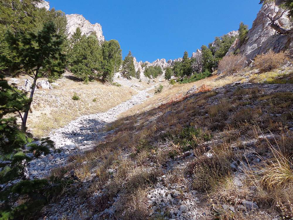
The valley was mostly easy hiking, even with the trail being very braided in places since they run sheep in this area. We then found open slopes to head up and to the east toward the ridge. Our only delay on the way up was to stop and check out a porcupine climbing a tree as we passed by. Very cool.
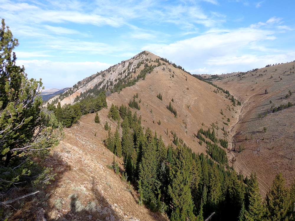
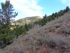
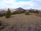
Once on the ridge, it was an easy climb to the summit of Mount Mansfield (Peak 9768’). Mansfield made for a great vantage point to check out the surrounding terrain, including Meade Peak to the north. We then had easy going along the ridge to the saddle, then a straightforward climb up Meade. Only pausing briefly to chat with some hunters who were taking a break and checking out the views.
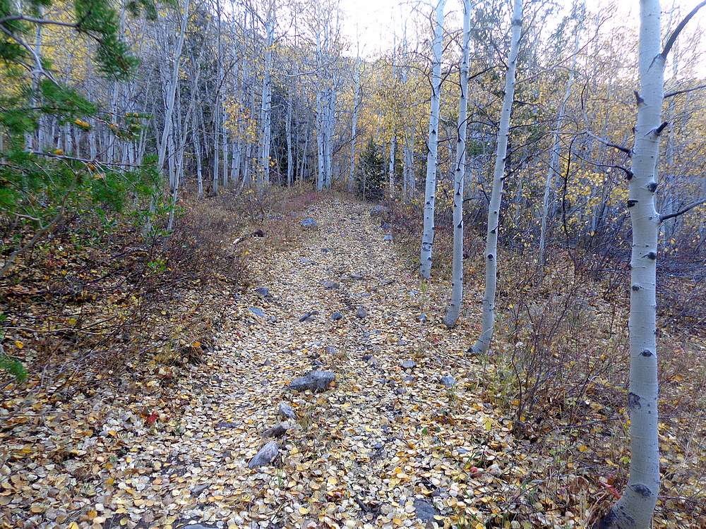
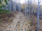
Once on the summit of Meade Peak, we stopped to take a snack break and check out the views. It was a beautiful day to be out in the hills. At this point, we discussed our descent options. There were a couple possibilities, and we opted for a direct descent down a steep gully on the south face. It ended up working out okay, but not sure I would recommend it. On the plus side, it did allow us to descend through some beautiful aspen groves and their yellow leaves set aglow by the sun.
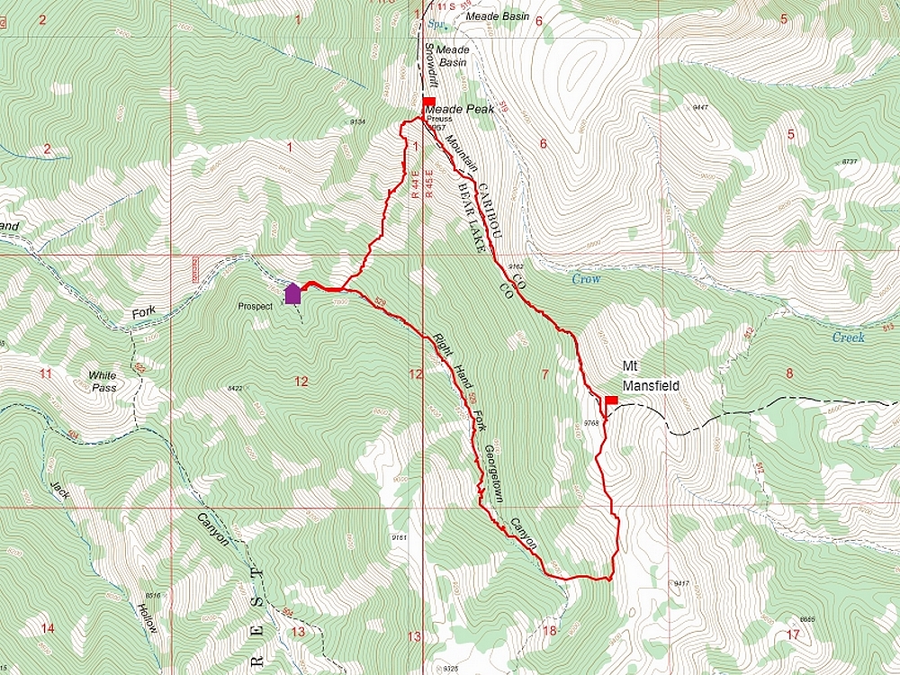
I really enjoyed our hike. It was a pretty area that was all new to me. Round trip was just over 6 miles 3200’ elevation gain in about five hour round trip.

Map of the route, 6 miles and 3200' gain round trip. |
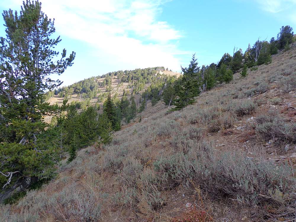
Start of the hike. |

A porcupine is in there somewhere. |
Nearing the south ridge of Mount Mansfield. |
Meade Peak from Mount Mansfield. |
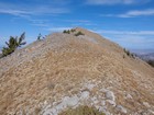
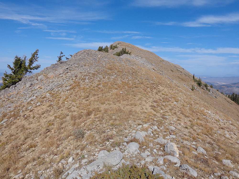
Nearing the summit of Meade Peak. |
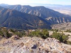
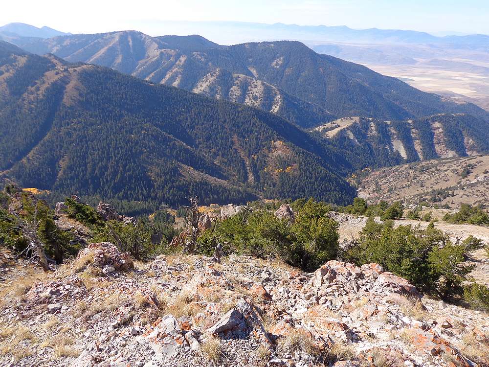
Looking down on Right Hand Fork Georgetown Canyon. |

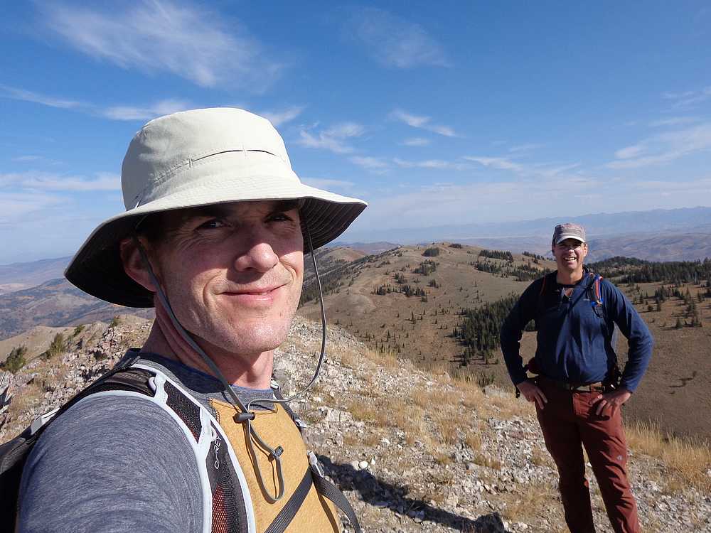
Meaded Peak summit shot. |
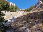
We descended this steep south face gully on Meaded Peak. |
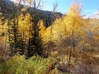
Aspens in the valley all lit up. |
|
|
|