|
South Hawley Mountain
South Hawley Mountain (Peak 7057’) is an unofficially named peak in the Boise Mountains of southwest Idaho. In summer, it makes for a quick hike from the Hawley Mountain Road. But it winter, it requires a more sporting effort starting from Harris Creek Summit. This is a safe winter destination thanks to generally mellow terrain and a snowed-over forest service road to follow. Plus, it’s close to home thanks to a drive of just over an hour from Boise.
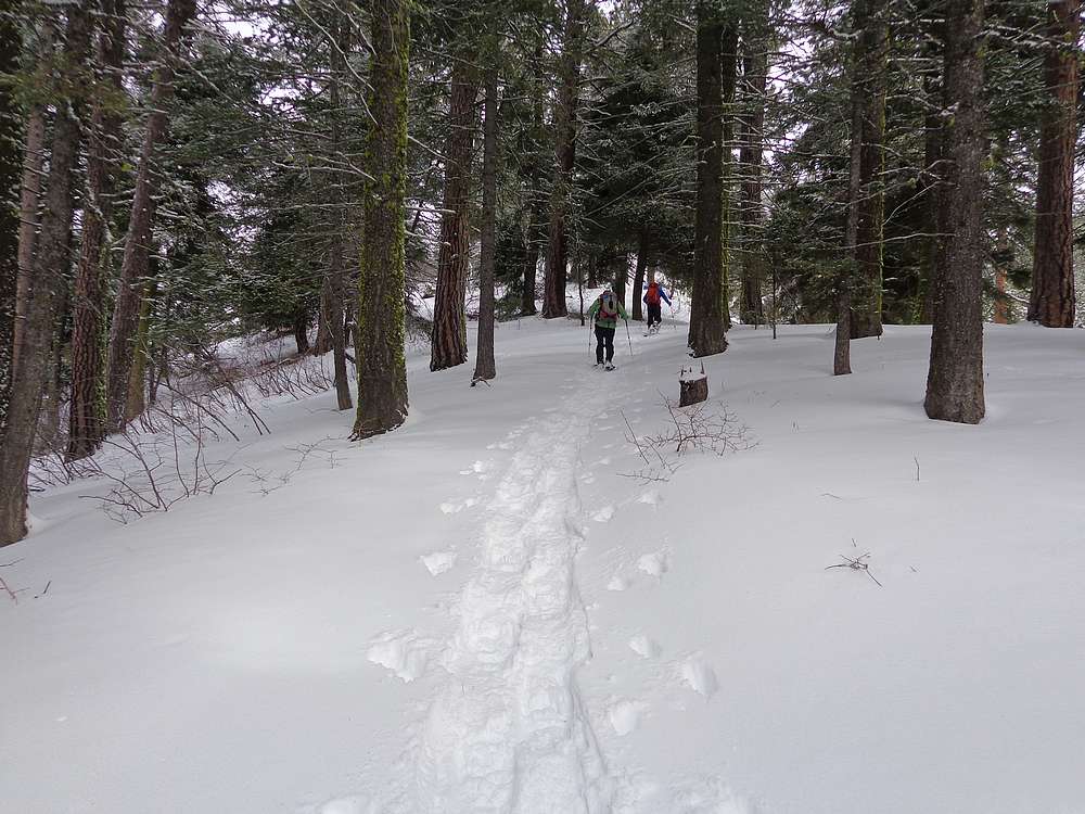
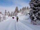
Expecting a long day of trail breaking, I recruited a large group of 12 friends. For COVID reasons, we ended up filling the parking lot at Harris Creek Summit with 9 vehicles! After introductions, we hit the trail before 9am. Thanks to some existing snowmobile tracks, we were able to make a steady pace up the snowed-over road.
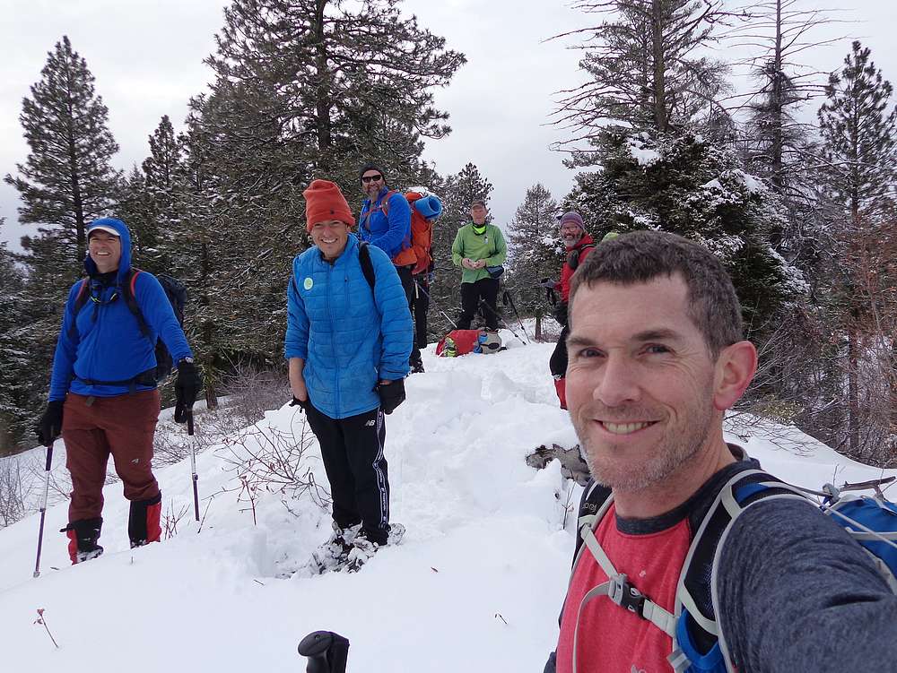
We followed the road to the saddle southwest of the summit, and then headed uphill. Once on top of “South Hawley Mountain”, we enjoyed the weather, the views, and good conversation. Although apparently not everyone got the memo about the mandatory PB&J lunch requirement…
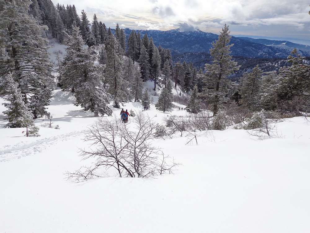
On the way back, we decided to make a small loop and head down cross-country toward point 6795’. The scenery was pleasant as we took a scenic route up down and around the hillside before eventually heading back down to the road that we’d hiked up.
About half of us decided to take a side trip on the way back to visit anther small summit along the way. Peak 6041’ (aka Harris Creek Peak) wasn’t too far from the road, but with some miles already under our belts, and some actually trail breaking to deal with, this little peak definitely gave us a workout.
What a great way to ring in the New Year. It was a beautiful day in the mountains, and a lot fun catching up with old friends and making new ones. Round trip was almost 10 miles and 2400’ elevation gain in just under 7 hours of snowshoeing.
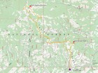
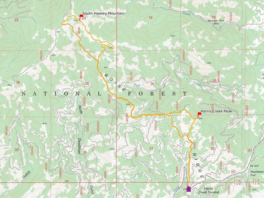
Map of the route, just under 10 miles and 2400' gain round trip. |
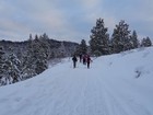
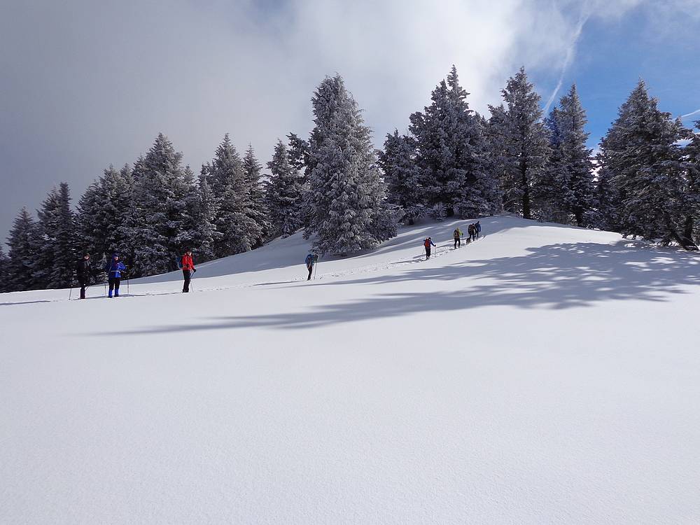
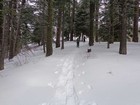
Easy trail breaking thanks to snowmobile tracks. |
Love the snowy trees this time of year. |

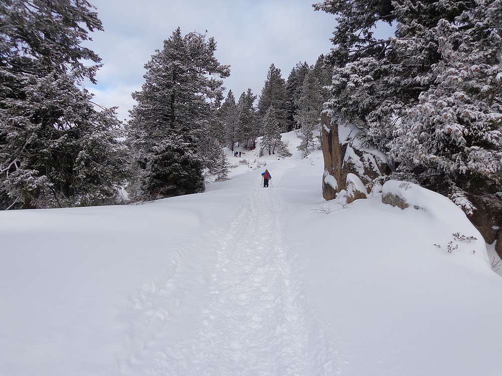
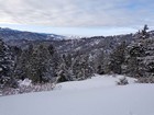
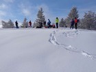
About halfway there. |
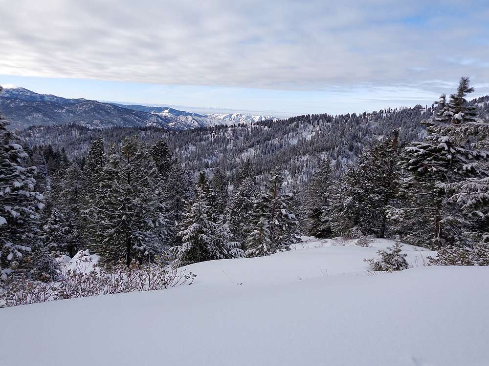
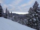
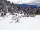
Good views, Owyhees in the distance. |
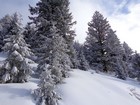
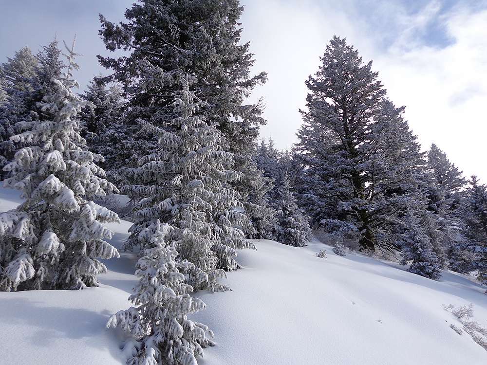
More snowy trees. |
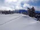
Just below where the road meets the saddle. |
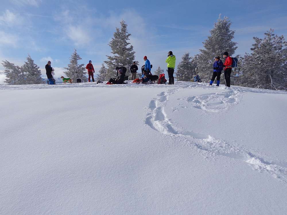
Group enjoying the summit of South Hawley Mountain. |
Backside of Shafer Butte in the clouds. |

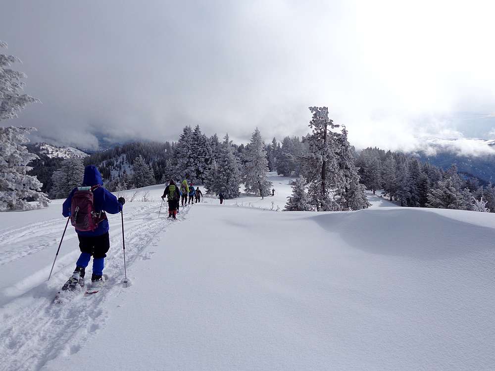
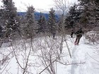
Descending from South Hawley Mountain. |
Bushwhacking down through some aspen. |
Heading back down to the road. |
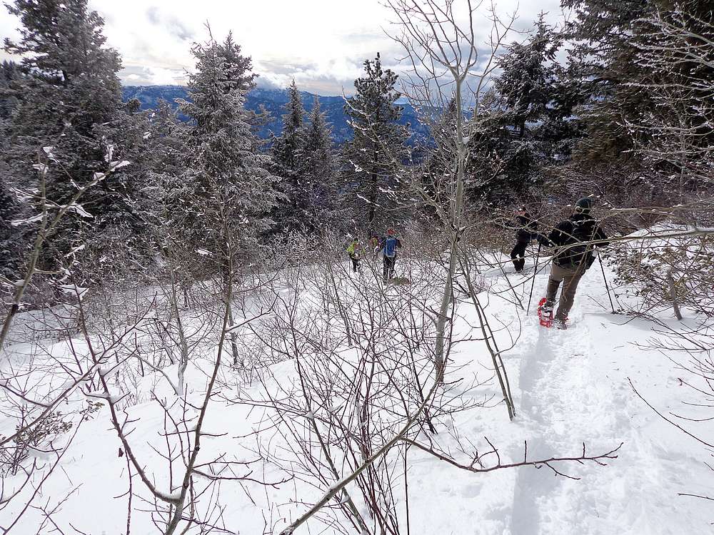
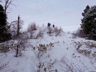
Climbing up through the trees toward Harris Creek Peak. |
Summit of Harris Creek Peak. |
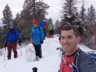
Group shot on the summit of Harris Creek Peak. |
|
|
|