|
Poison Gulch Peaks
An nice 4-peak adventure in the Owyhees
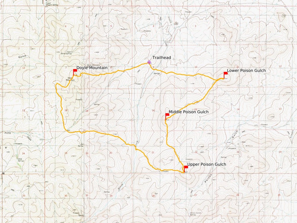
Poison Gulch is located in southwestern Idaho’s Owyhee Mountain. The area is south of Grandview, and accessible via Mud Flat Road, and the Oreana Loop Road (aka Poison Creek cutoff). Located below Rough Mountain, Poison Gulch is surrounded by a handful of small peaks, which are accessible most of the year. A deteriorating weather forecast caused Michael, John F, and I to scrap more ambitious plans, and we settled on Poison Gulch since it was close to home and an area none of us had been. I shared an ambitious plan to make a loop including four peaks, and then we set out on the 60 minute drive from Boise.
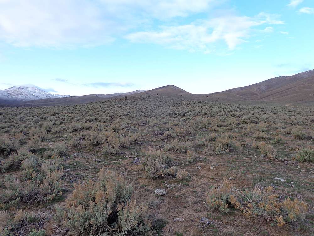
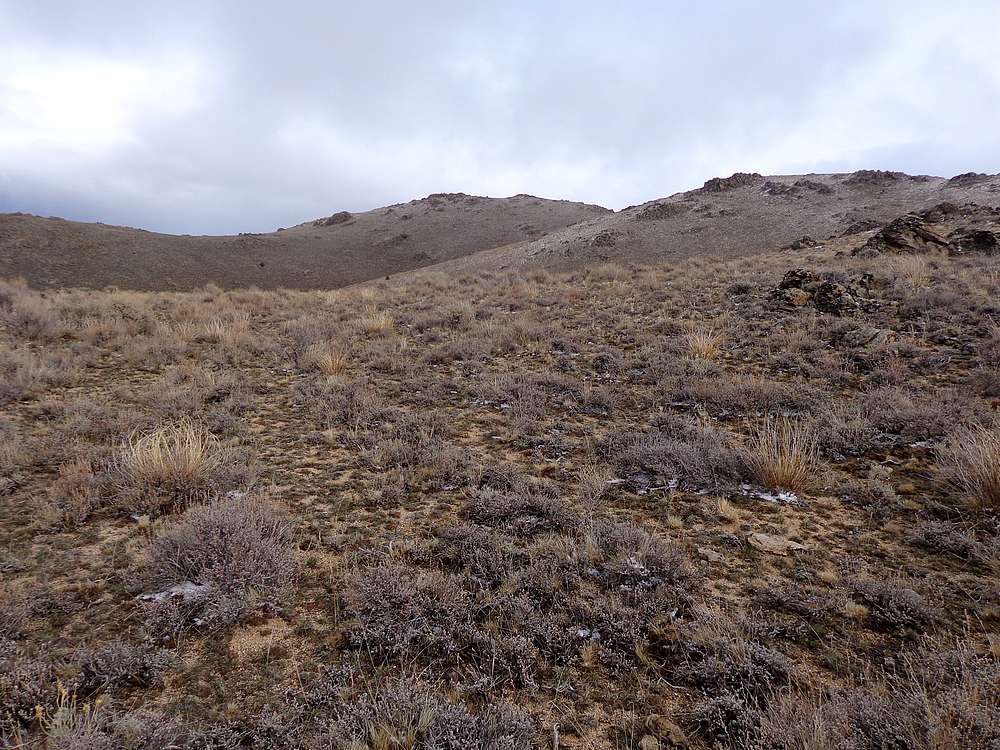
We turned off the Oreana Loop Road at Birch Creek, and follow the recently improved road until we found a spot to park at Pt 4426’. It was open terrain, but still took us a couple minutes to get oriented. Then we were off, covering about two miles east across the base of the hills, and then up Peak 5141’ (Lower Poison Gulch Peak).
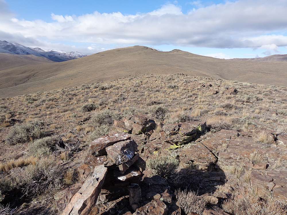
It was a beautiful morning so far, and we hung a right and went southwest along the ridge toward Peak 5426’ (Middle Poison Gulch Peak). Other than a brief stop along the way to check out a sage grouse, this section was uneventful, and we made our way to the summit where we stopped for a snack.
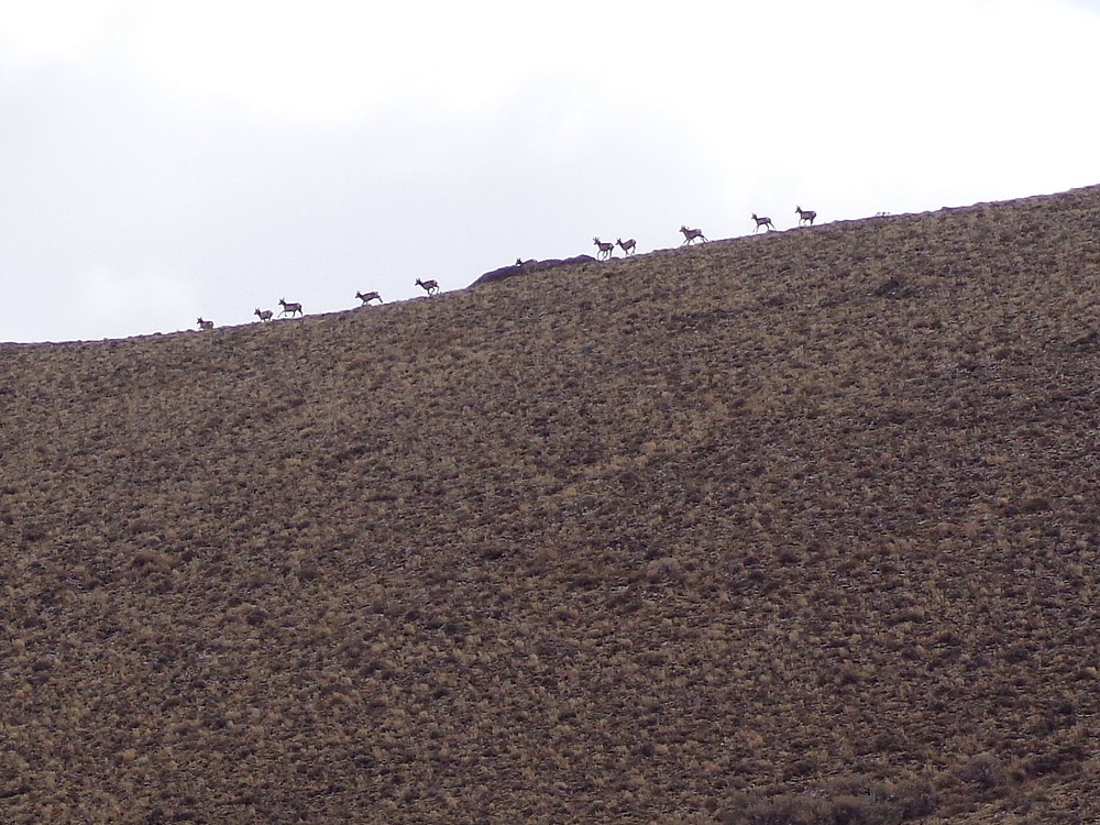
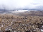
From the middle peak, we had good panoramic views including Rough Mountain above us, and the expansive Snake River Plain behind us. We still had ground to cover, so we headed south toward our third peak. Along the way, we spotted a herd of pronghorn on the ridge above us, which was cool. Shortly after that, the winds picked up and we found ourselves getting pelted with snow.
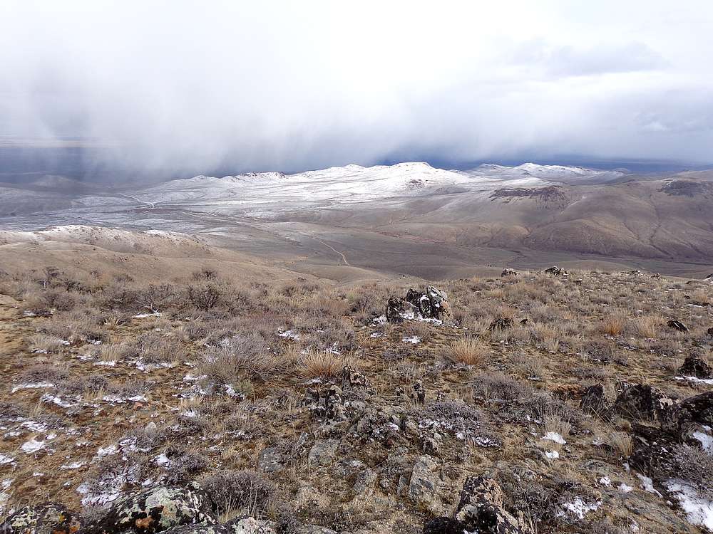
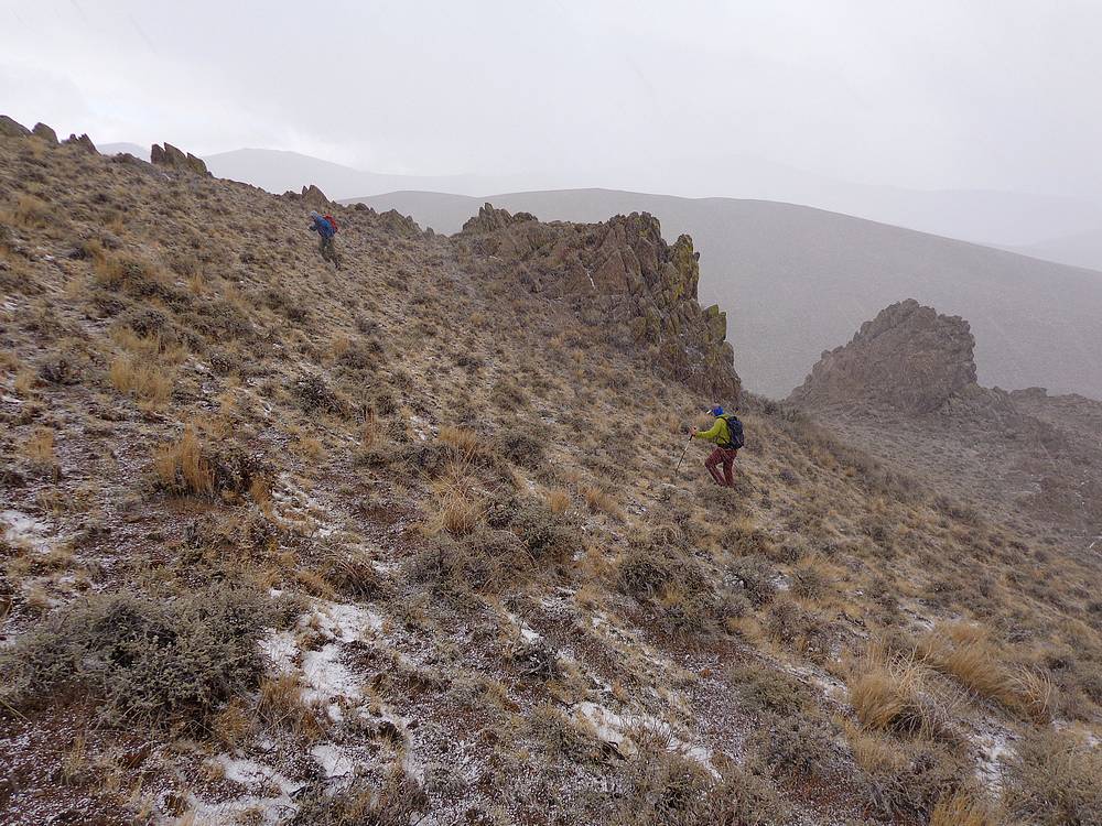
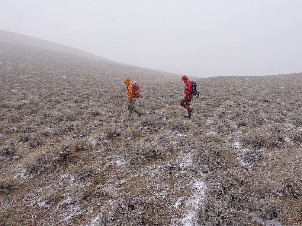
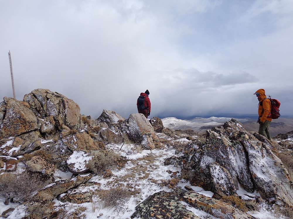
Once on the summit of Peak 5437’ (Upper Poison Gulch Peak), the snow subsided briefly, and we stopped for a lunch break. But then the blowing snow came back with a vengeance as we made our way down the western slopes of the peak. It was one of those “make you feel alive” times in the mountains, so not all bad.
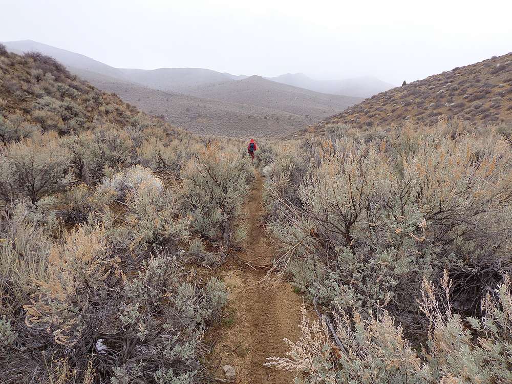
Not long after coming off our third peak, we found a single track motorcycle trail, and followed that down to the Birch Creek jeep road. I had visions of extending the loop to include Doyle Mountain, but the weather had been a bit harsh, so I was a little surprised when John and Michael were actually up for more hiking. But who am I to complain?
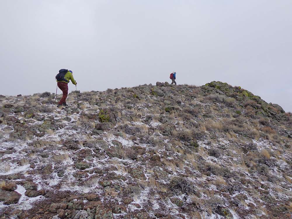
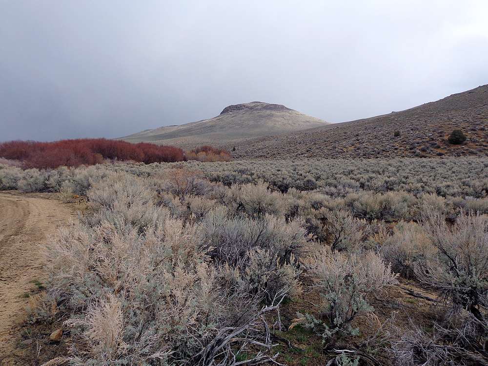
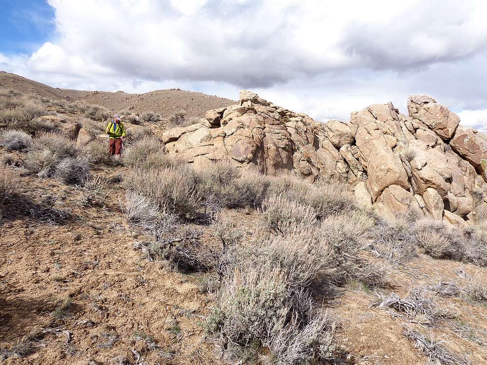
So up we went from Birch Creek, past Pt 5168’, and eventually to the road crossing at Pixley Summit. This was a pretty area, with several cool rock formations. We continued north from the summit along a moto trail that skirted the west side of Doyle Mountain. Eventually we left the trail and headed cross country up to the summit.
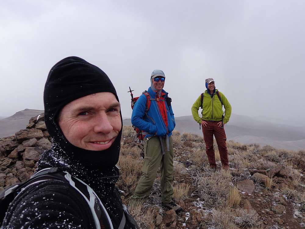
By the time we made it to the top of Doyle Mountain, the wind had returned, so we hunkered down for a snack and good views of the terrain we had covered. After that, we made a beeline down to the car. Only a few occasional pauses along the way for Michael’s bird watching. Round trip was just over 13 miles and 4200’ elevation gain, four peaks, in just over 7 hours of hiking. Not bad for a backup plan!
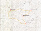
Map of the route, 13 miles and 4200' gain round trip. We went clockwise. |
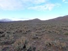
View of the first peak in the distance. |
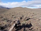
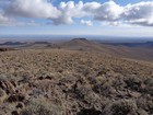
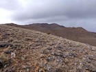
Open views from the lower peak. |
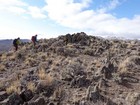
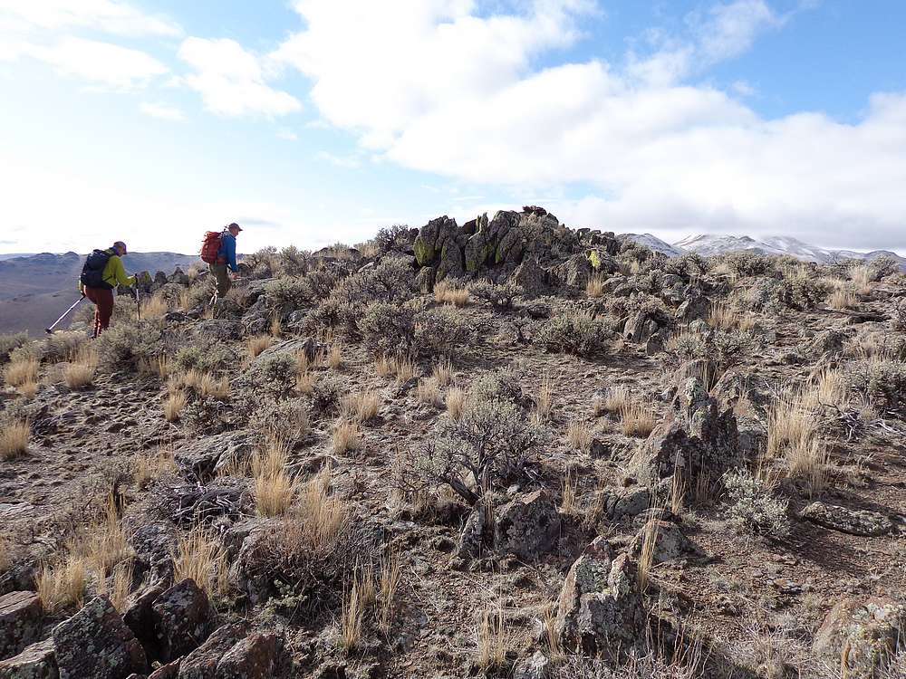
Reaching the summit of the middle peak. |
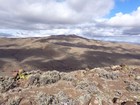
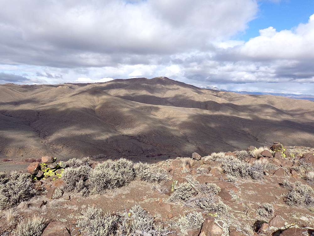
Looking across Birch Creek at Doyle Mountain from the middle peak. |
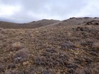
Looking back on the lower peak from the middle peak. |
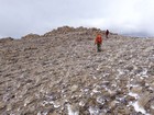
Making our way toward the Upper Poison Gulch Peak. |
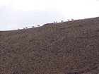
Pronghorn descending the ridge from the upper peak. |
Wind and snow starting to blow on our way up the upper peak. |
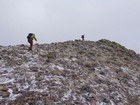
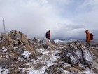
Reaching the summit of the upper peak. |
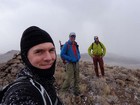
Group shot on the summit of the upper peak. |
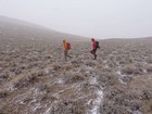
Getting blasted by wind and snow on our way down the upper peak. |
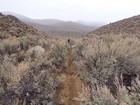
Moto trail descending to Birch Creek. |

Nice view of the middle peak from Birch Creek. |
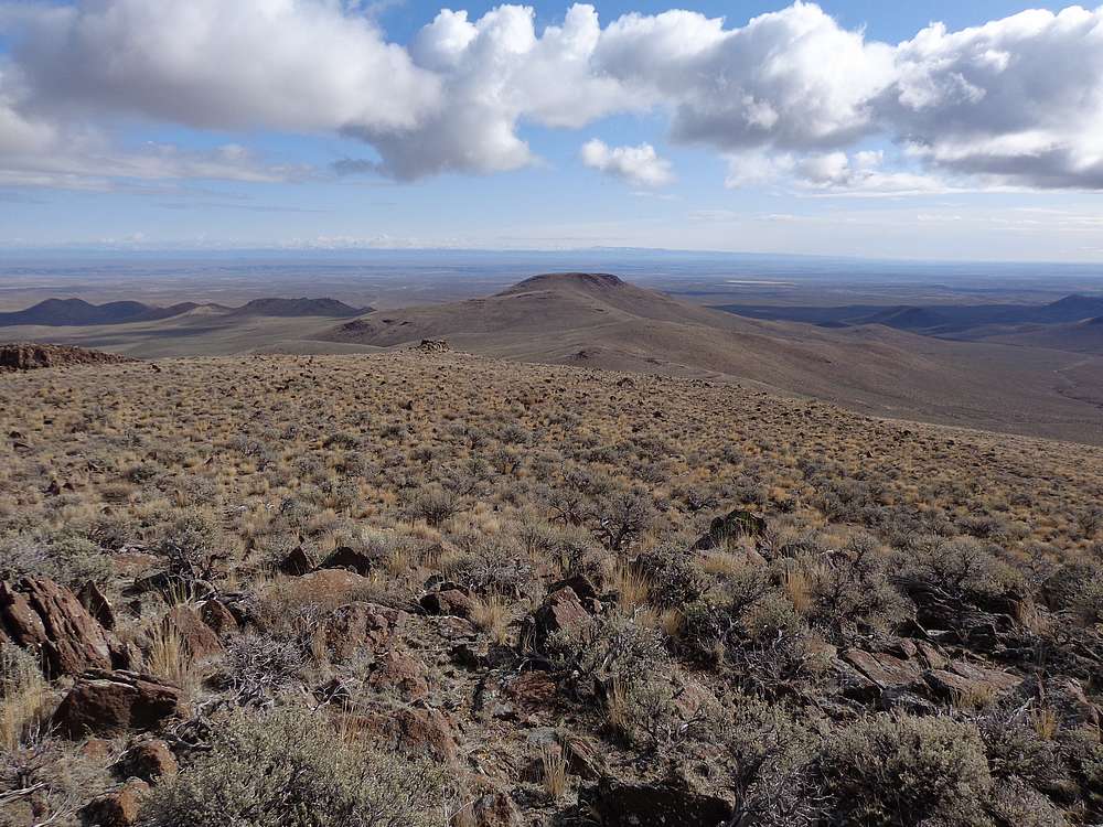
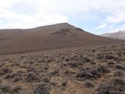
View of Doyle Mountain on our way up. |
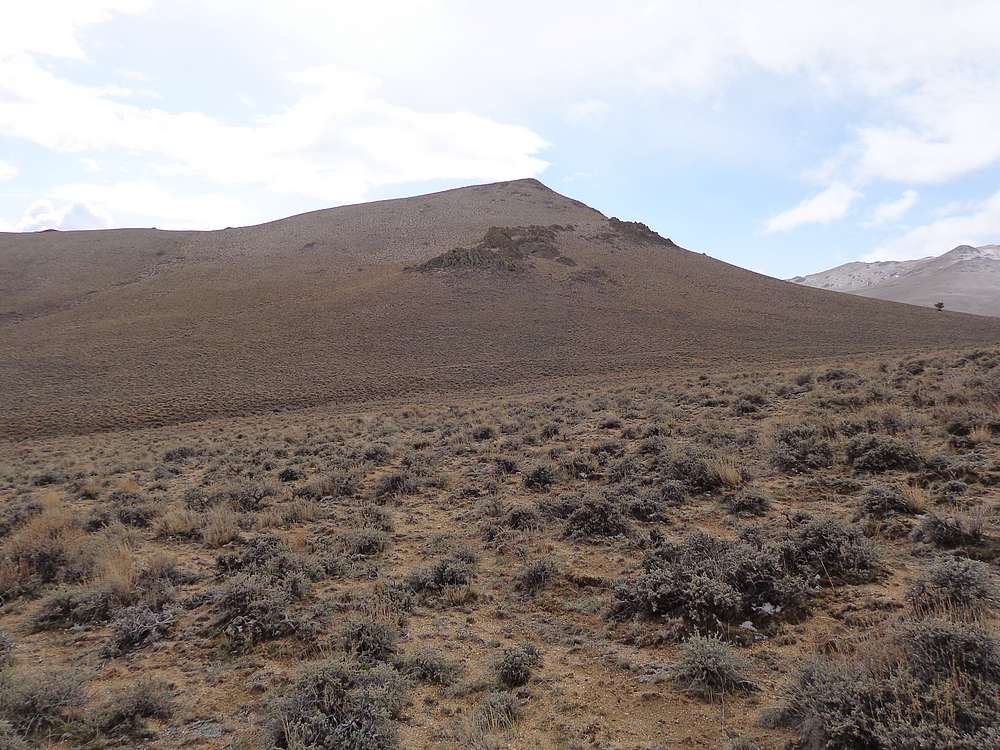
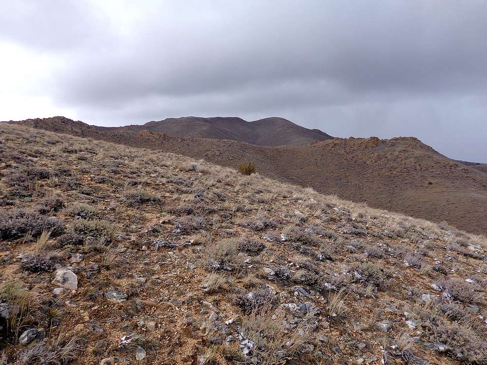
The summit of Doyle Mountain comes into view. |
Reaching the summit of the Doyle Mountain. |
Summit of Doyle Mountain. |
Looking down on the lower peak, now covered in snow. |
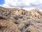
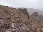
Passing some rock formations on the way down Doyle Mountain. |
|
|
|