|
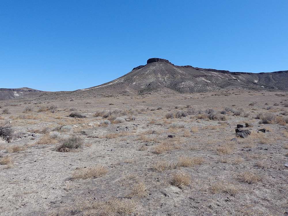
Jackass Butte
Elevation 2852'
Jackass Butte is located in southern Idaho, right next to the Snake River, between Murphy and Grandview. It’s located on public land within the Snake River Birds of Prey Area, but you do have to navigate some private property to access Jackass Butte.
Arguable the crux is the drive. From Highway 78 west of Grandview, turn on Lemly Road. Just before the waste site, turn right Robinson Road, which you follow almost to the Snake River, and hang a right. From the pumping station (4WD recommended), the hike is about 5 miles round trip. Or you can drive another mile, but we learned it’s rough.
At some point, my youngest son and I got in a discussion about the lowest peaks in Idaho, and found that Jackass Butte (37th lowest) was on the list and only an hour or so from home. So we took advantage of a beautiful Sunday, and headed out.
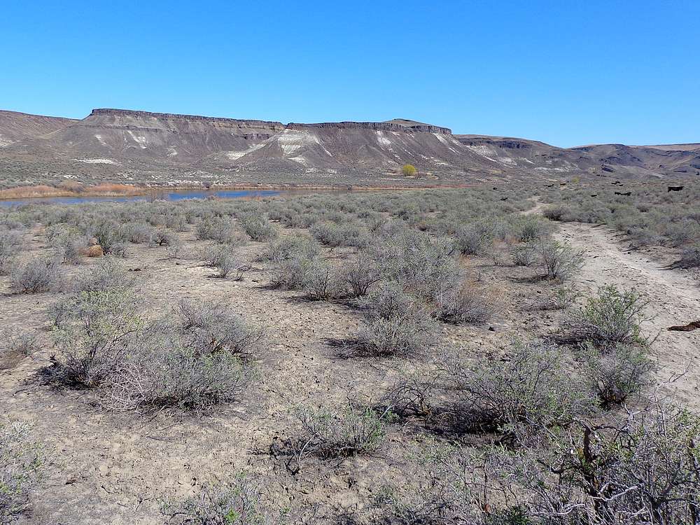
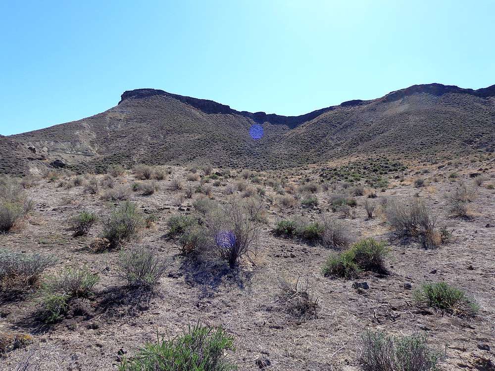
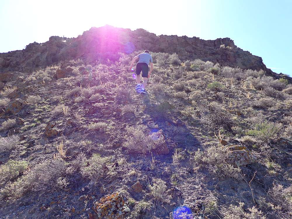
After surviving the drive, we made it to the base on the butte, then along a double track trail along the river for a while. We dodged several cows along the way, then headed up the side of the butte at the first sign of weakness in the basalt rim rock that guarded the summit plateau. After about 500’ of climbing, and a couple scramble moves, we found ourselves above the rocks.
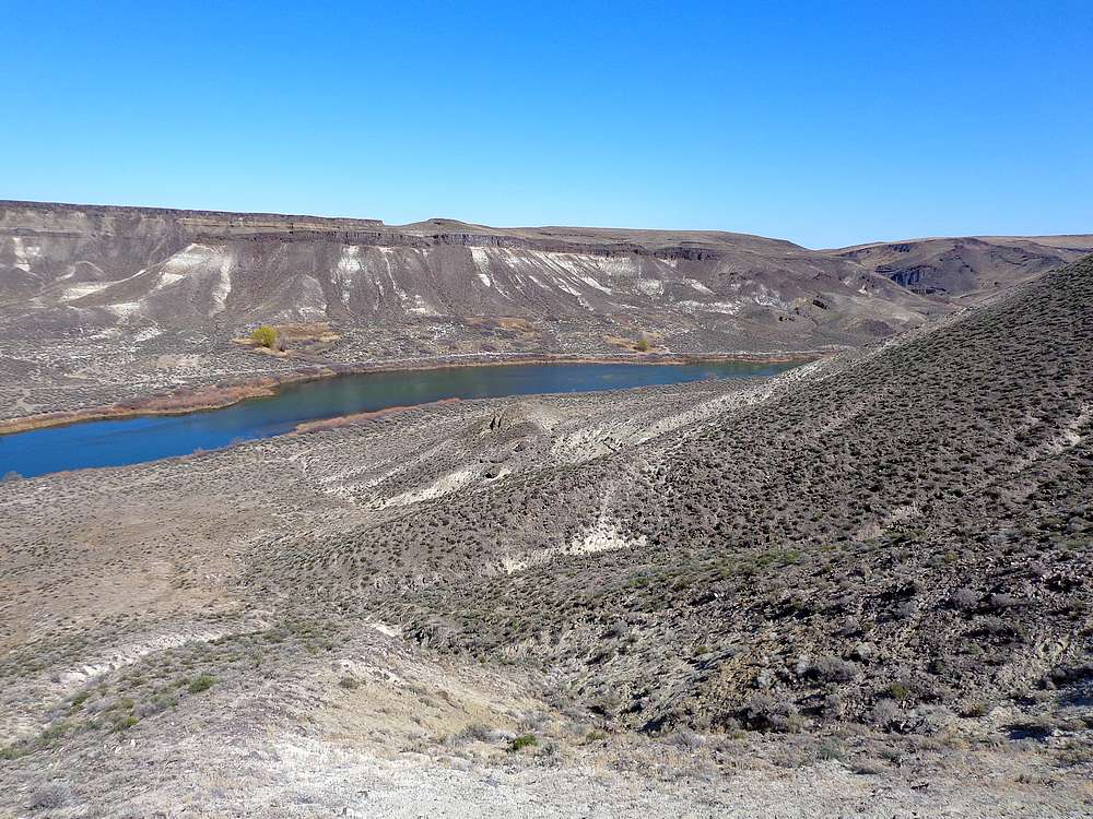
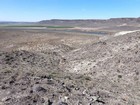
Once above the crux, we just wandered southeast until we made it to the highpoint. The views were nice, with a great vantage point looking down on the Snake River, and at the snowy main Owyhee crest to the southwest.
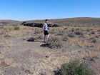
We decided to take a different route on the way back, dropping off the northwest side of the Butte, and back down to the car. Round trip was about 3 miles and 600’ of elevation gain in 90 minutes of hiking. A fun adventure with my son, conquering the mighty Jackass Butte!
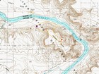
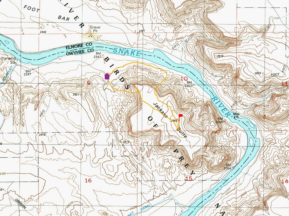
Map of the route, 3 miles and 600' gain round trip. We went clockwise. |
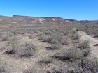
Following the cow trail next to the Snake River. |
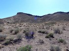
We climbed the rib on the right. |
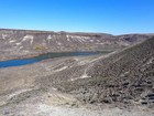
Looking back down on the river. |
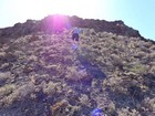
Nearing the rock section. |
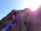
A couple fun scramble moves. |
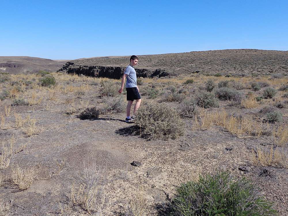
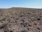
Lots of ant hills on top of the butte. |
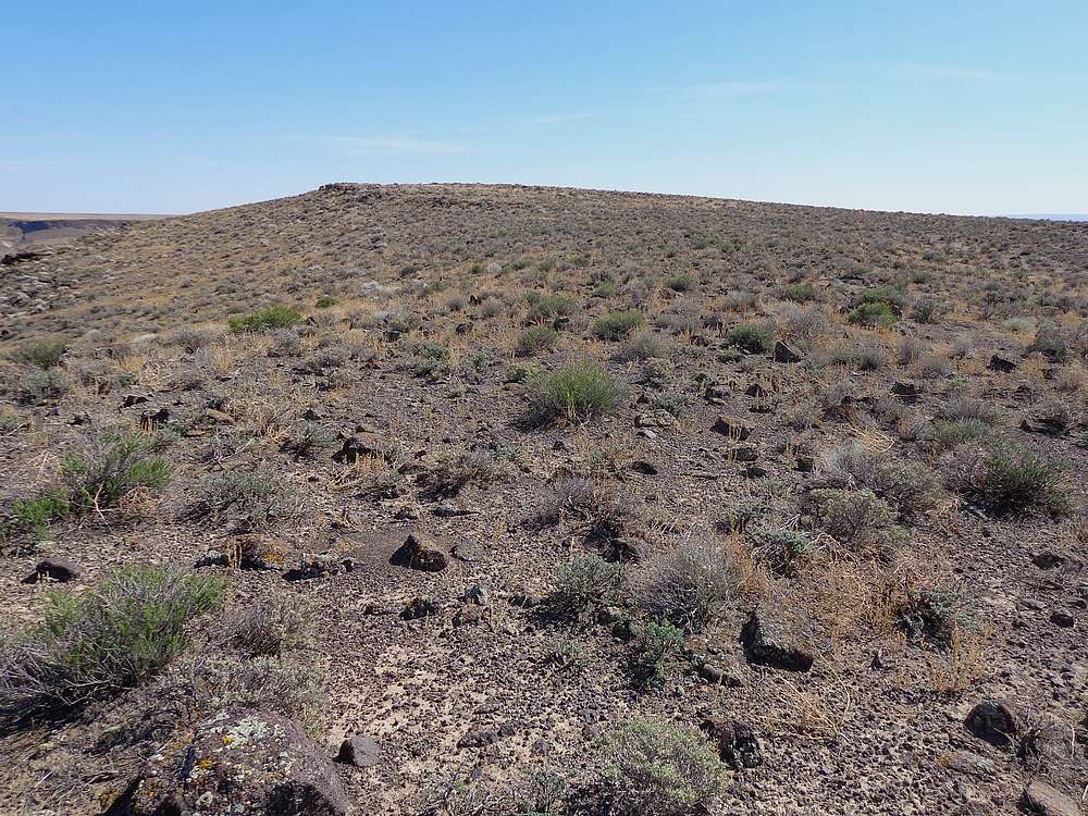
Almost to the highpoint of Jackass Butte. |
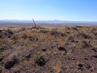
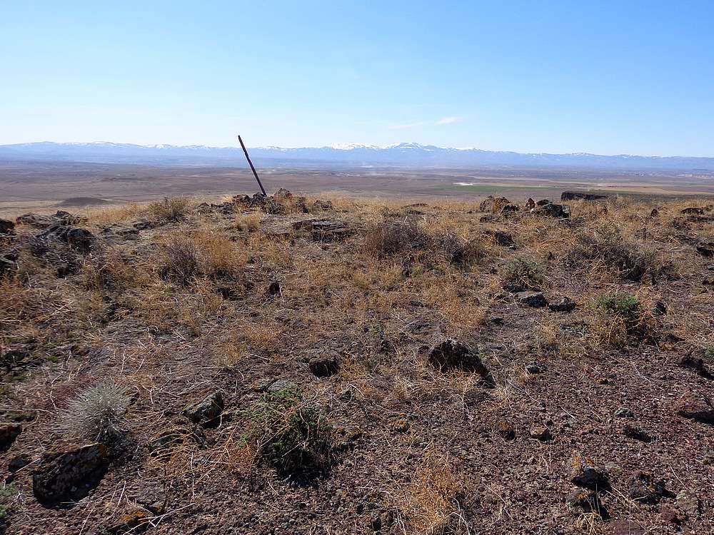
We found this marker a bit south of the highpoint. |
Descending back to the truck. |
|
|
|