|
Greys Peak
Elevation 10,674'
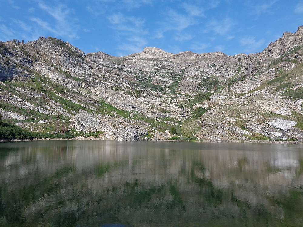
Greys Peak is an attractive mountain that anchors the northern end or the East Humboldt Range in northwestern Nevada. This is near the town of Wells. There are other taller peaks in the range, but Greys really stands out when viewed from the interstate to the north. The starting point for the hike at Angel Lake is accessible via paved road.
The prior day we’d had a big outing climbing Ruby Dome. After weather had thwarted other plans, we went into brainstorming mode, and decided on Greys Peak. We drove to the Angel Lake trailhead that morning, and were hiking by about 9:30am. Not exactly an alpine start, but would be fine for this half day hike.
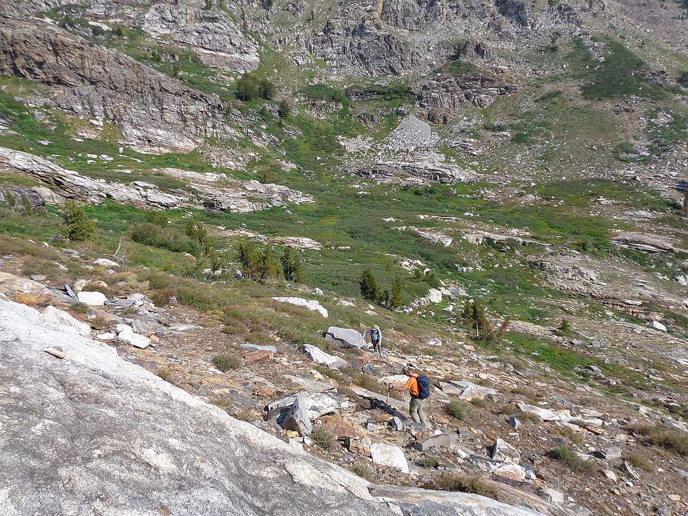
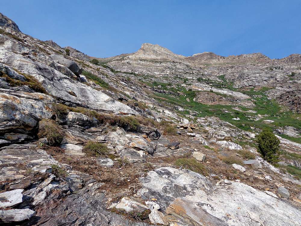
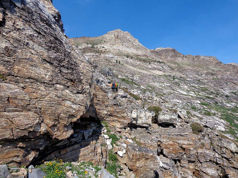
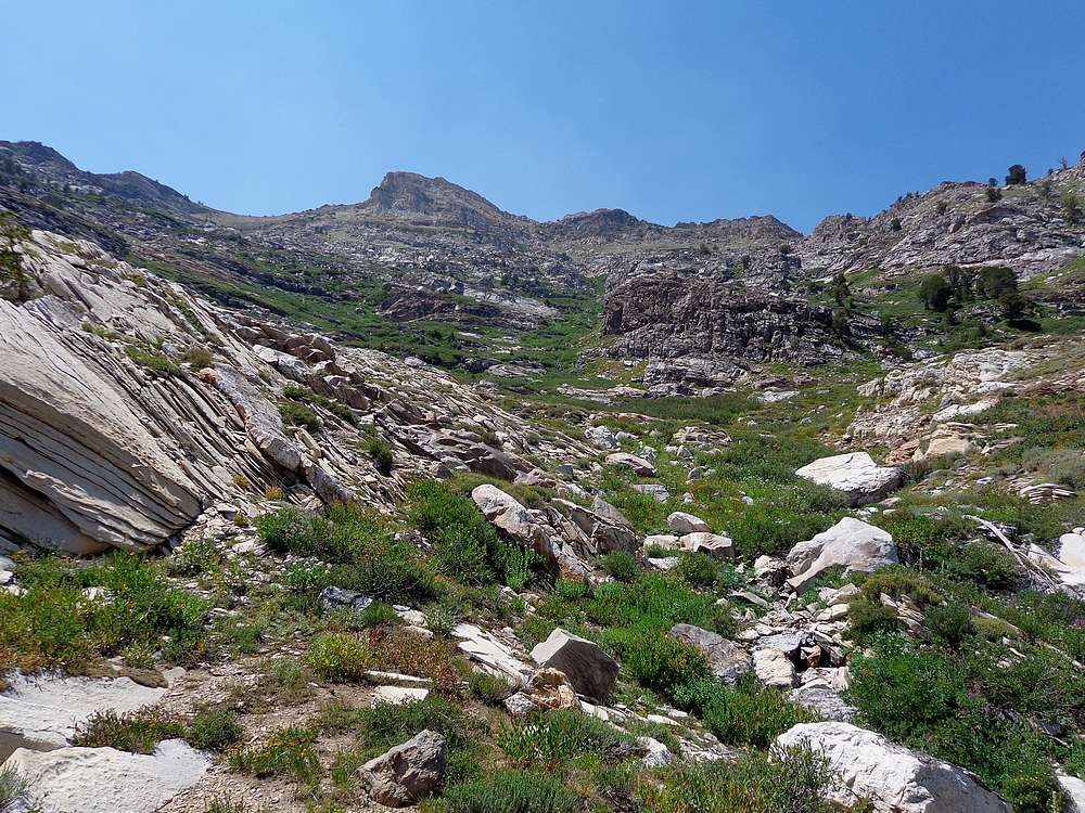
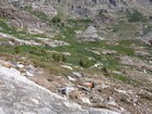
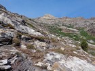
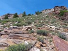
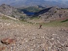
Dylan, John, Michael and I made our way around the left/south side of Angel Lake, then followed various paths around to where the inlet stream trickled down some short cliffs. Here we climbed up and angled to the left. Looking up at the peak, it appeared less brushy to the left, so we angled up that direction. We crossed occasional rock slabs and talus. Then some boulder hopping to the base of some cliffs for a snack break. Then more boulder hopping to a broad plateau southeast of the peak.
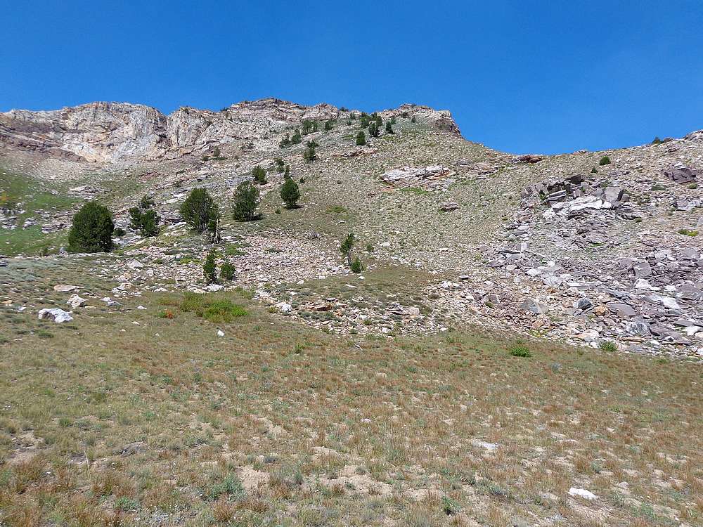
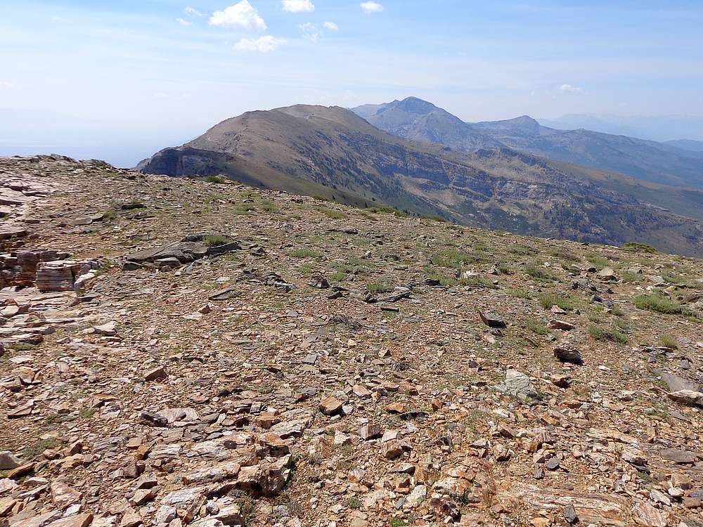
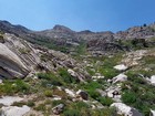
Once on the plateau, we had great views of the impressive Chimney Rock, as well as wildflower covered slope leading to Greys Peak’s south ridge. Our pace had been slow up to this point after yesterday’s exertion, and we continued a leisurely pace up the slope to the south ridge, and then followed the ridge to the summit.
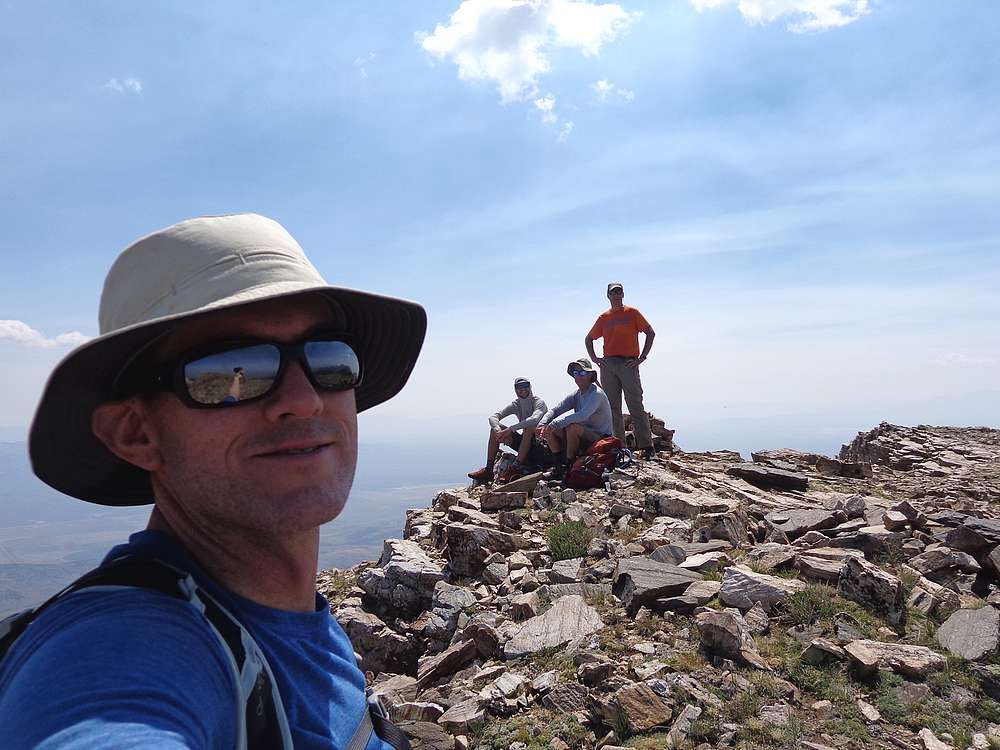
Views from the summit of Greys Peak were partially obscured by smoke, but still quite good. We could see Hole in The Mountain Peak to the south, and had a commanding view looking down on Angel Lake and all the folks recreating there. It was a great spot for a PB&J!
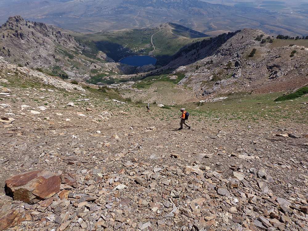
On the way back down, we took a more direct route in hopes of finding a trail. The way we went was shorter and faster, but unfortunately didn’t find anything resembling a trail. But we did get a bit of route-finding and bushwhacking thrown in along the way.
Round trip was just over 4 miles and 2400’ of elevation gain in 3.5 hours. So basically a half day, but it felt longer. I was impressed by the beauty of the area, and hope to return in the future to explore the peaks to the south.
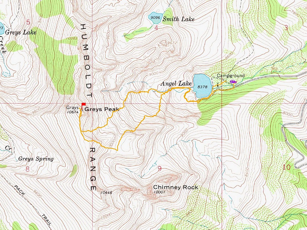
Map of the route, 4 miles and 2400' gain round trip. |
Making our way up. |
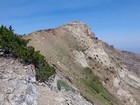
Greys Peak above us as we climb slabs. |
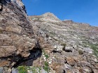
Cliffy section below the saddle. |
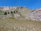
Gentler terrain on the south facing slopes. |
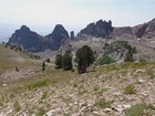
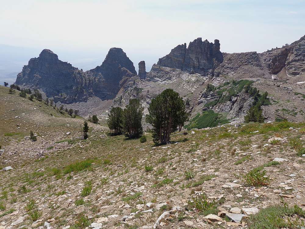
Looking down on Chimney Rock. |
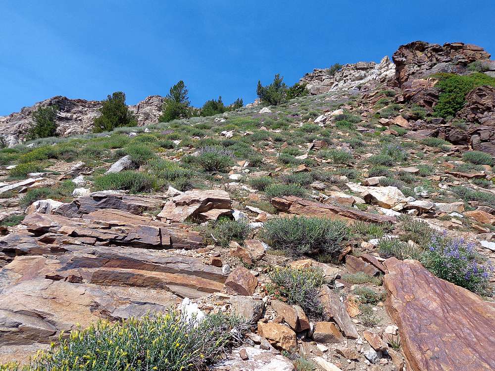
Wildflowers in bloom. |
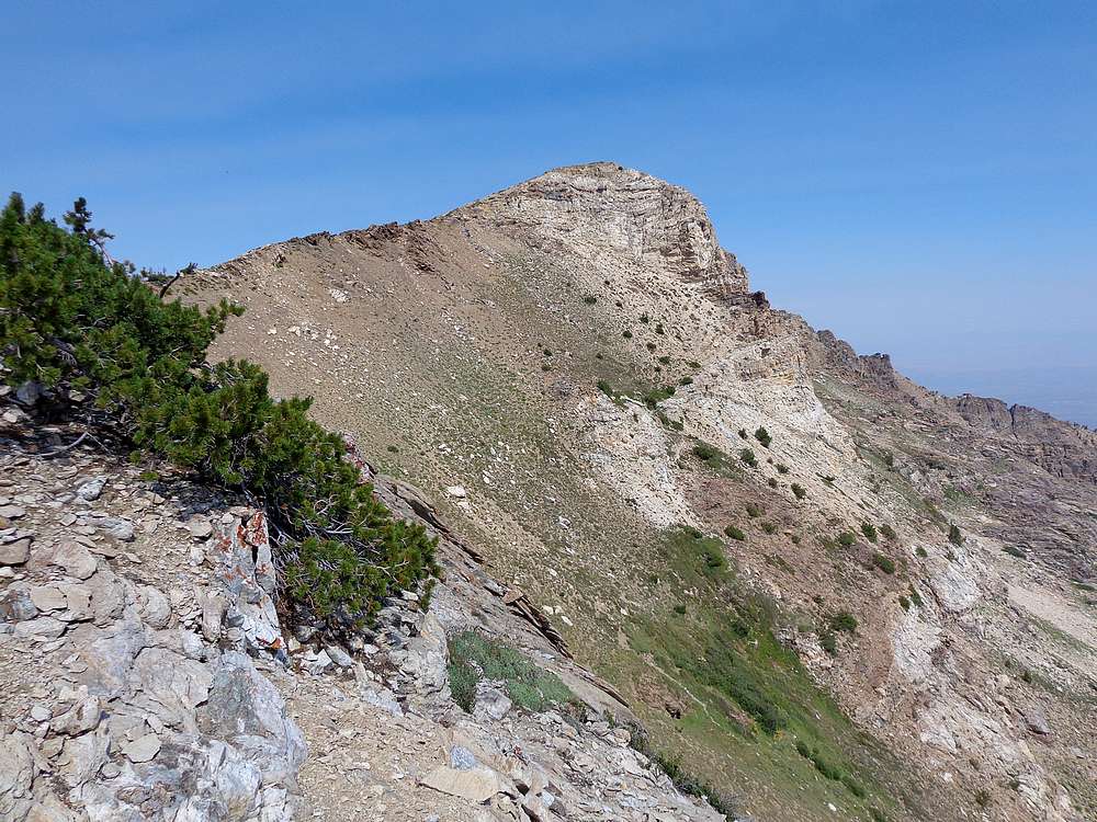
Final stretch. |

Nearing the summit. |
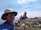
Greys Peak summit shot. |
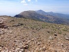
View south toward Hole in the Mountain Peak. |
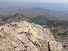
Smith Lake and Angel Lake from the summit. |
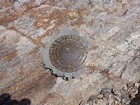
Benchmark. |
Taking a more direct descent line. |
Final look back at the peak. |
|
|
|