|
Cayuse Peak
A nice afternoon hike in the Danskin Mountains
Cayuse Peak is an unofficially named mountain located near the head of Cayuse Creek in the Danskin Mountains of southwest Idaho. The Danskins rise up south of the South Fork Boise River. It’s open country, with limited forest land. Not exactly desert, but hot in the summer and best visited in spring or fall. This peak is pretty nice undulating ridge walk with good views along the way.
With decent weather holding in late October, I ventured out for an afternoon hike close to home. It was just over an hour drive from Boise, through Mountain Home, to the start of the hike. I parked on the side of Prairie Road, at the start of Long Tom Ranch “road”.
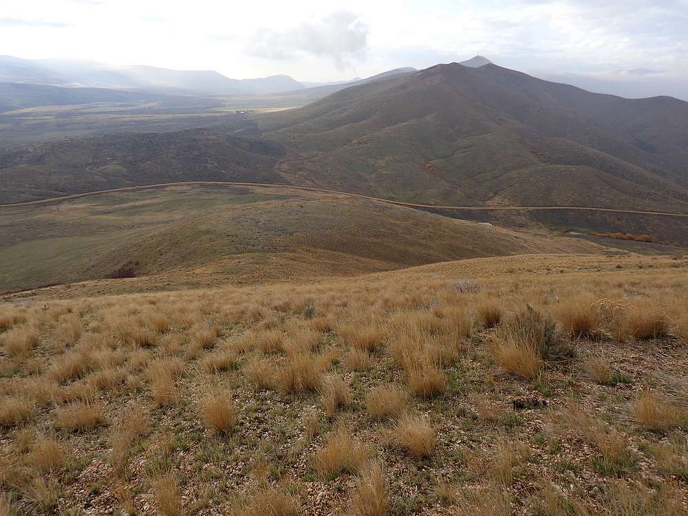
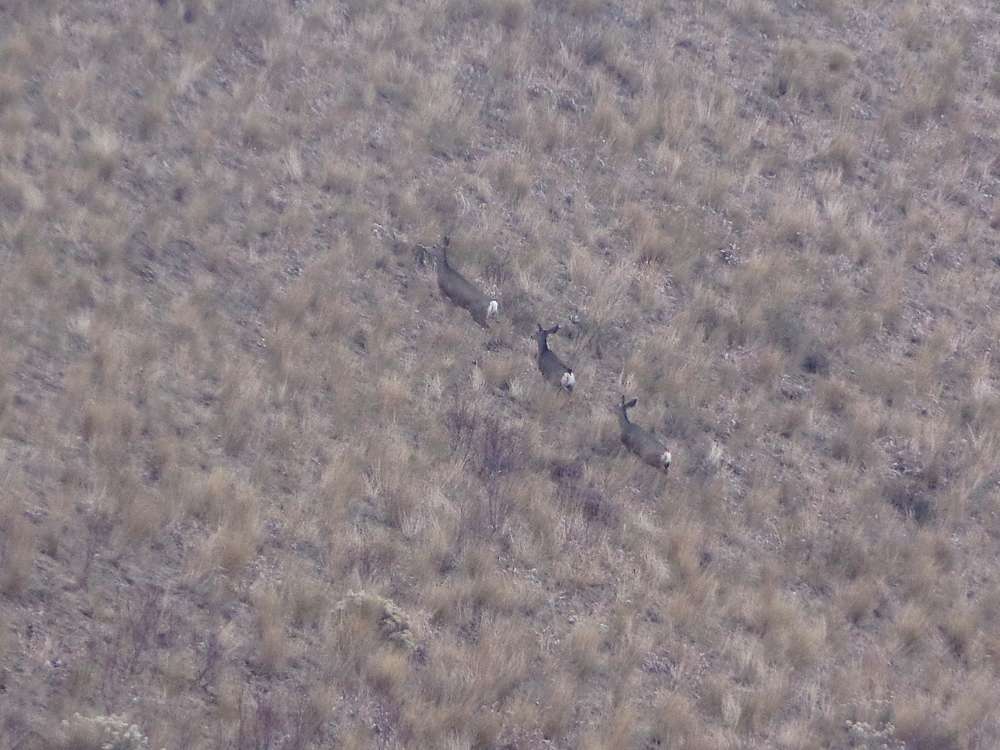
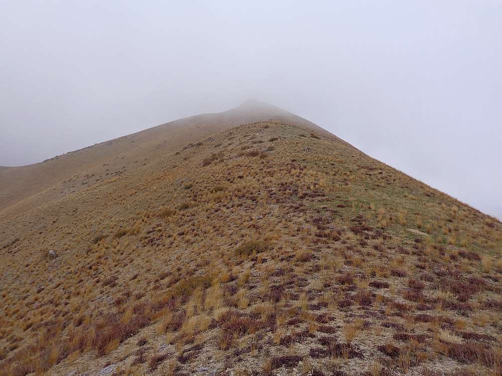
I hiked along the road for a quarter mile, then north up to the ridgeline and then west along the crest. Unfortunately, I was engulfed in fog much of the hike, so I had to be a little careful with what would otherwise have been easy line of sight navigation. Plus the fog blocked the views most of the way too. But I did manage to spot a group of five mule deer out in front of me.
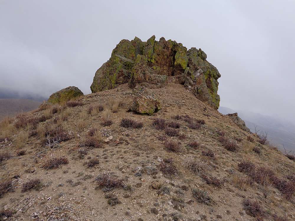
Even with the fog it was good to be out, and I made my way up, down, and around various bumps along the ridge. The final summit block required a 10’ scramble to get to the highpoint, which was marked with a cairn on top.
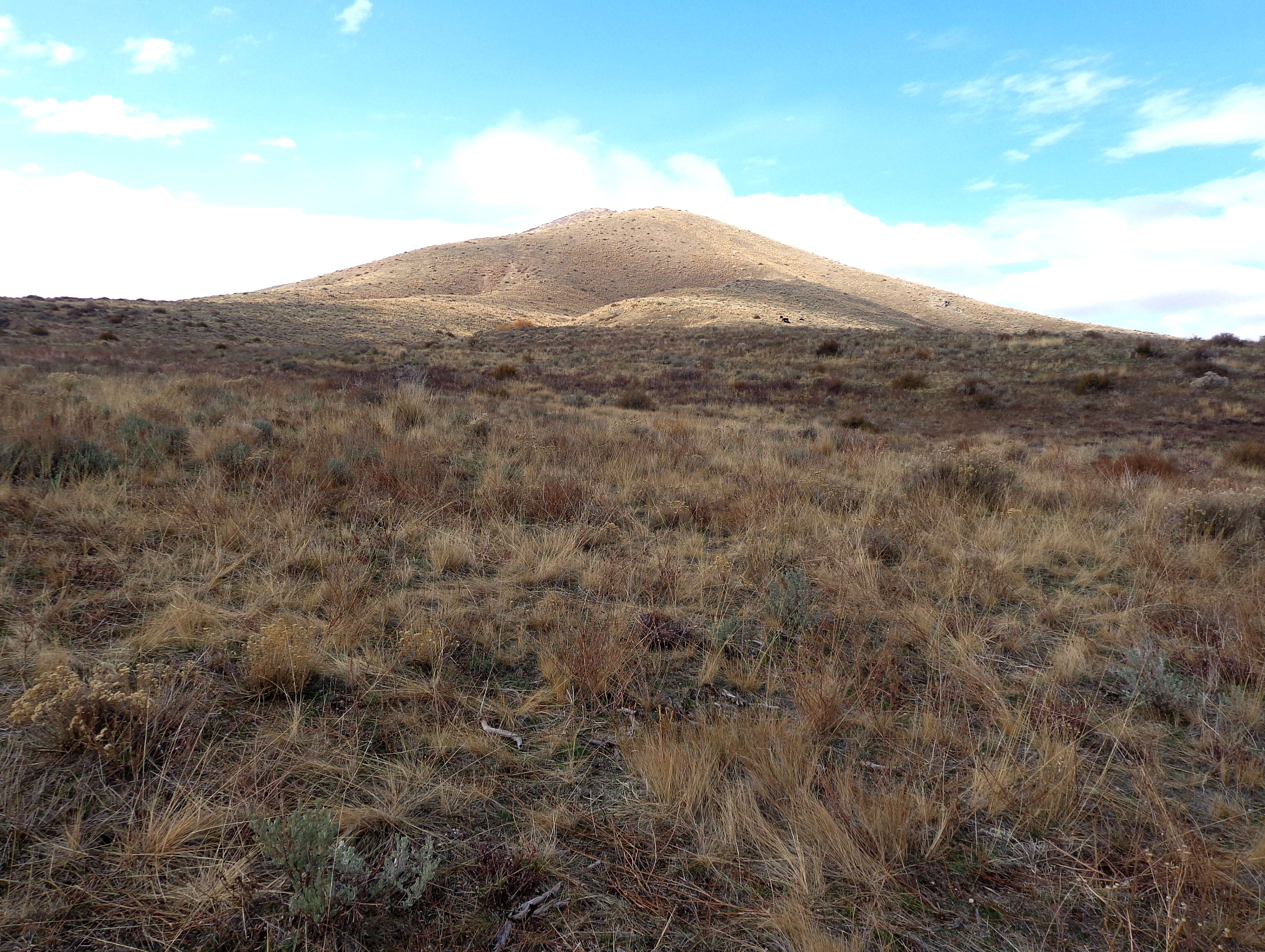
I climbed back down of the summit block, and found a spot out of the wind for a snack break. Next I retraced my path back to my car. It had rained a little during the hike back, but let up just before I got back to the car. So I decided to cross the road for a quick climb of “Cow Peak” (5580’).
Nothing exciting about the climb up Cow Peak, just a trudge up steep grassy slopes. But the view into the river canyon was fantastic from just northeast of the highpoint. Afternoon sun shining through holes in the cloud cover made for a cool scene. After that, I made a quick descent back to the car.
Round trip for these two peaks in the Danskins was 6 miles and 2200’ total elevation gain in just under 3 hours of hiking. Not bad for a spur of the moment outing, and it was nice to explore a new area.
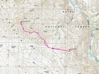
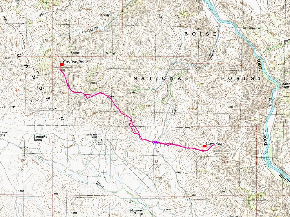
Map of the route, 6 miles and 2200' gain round trip. |
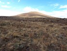
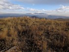
View from start of the hike. |
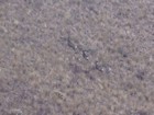
Mule deer ahead of me. |
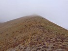
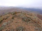
The summit of Cayuse Peak in the clouds. |
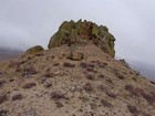
Summit block of Cayuse Peak. |
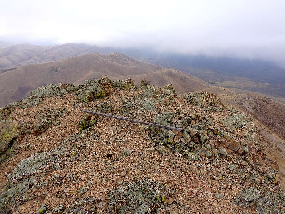
View back along the ridge from the summit of Cayuse Peak. |
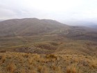
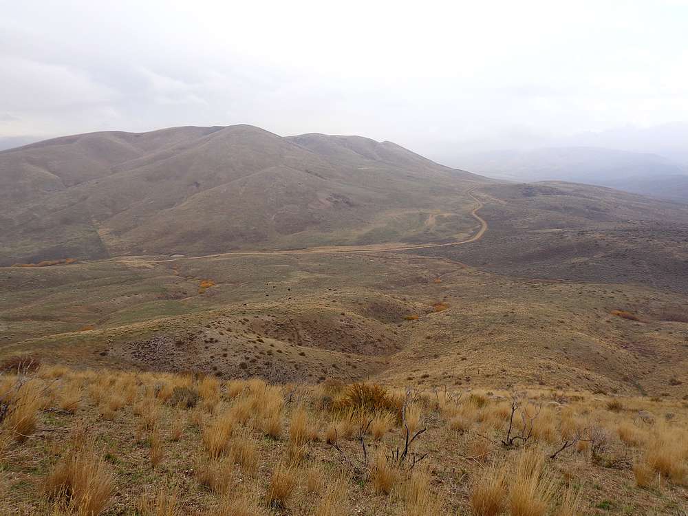
View of Cow Peak from the shoulder of Cayuse Peak. |
Cool view of Bennett Mountain from the summit of Cow Peak. |
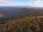
South Fork Boise River canyon from Cow Peak. |
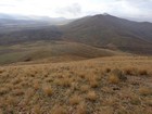
Cayuse Peak from the shoulder of Cow Peak. |
|
|
|