|
Wet Creek Peaks
An Excellent Adventure in the Lost River Range
|
Related Links:
- Trailhead Location
- My GPS Tracks
- Limestone Peak: TL, SP, PB, LOJ, Map
- Ross Peak: TL, PB, LOJ, Map
- Last Lost Peak: TL, PB, LOJ, Map
- Wet Creek Point: LOJ, Map
|
Wet Creek is a ruggedly beautiful and seldom visited drainage in the Lost River Range of eastern Idaho. It empties into the Little Lost River on the northeast side of the range, but the main attraction is the amazing cirque surrounding the creek’s headwaters above Nolan Lake. The cross-country hike to Nolan Lake and beyond is spectacular, and also provides access to three 11,000 foot peaks that surround the headwaters of Wet Creek.
After much prior discussion, plans were set to take a shot at the three 11ers at the headwaters of Wet Creek. Of the three peaks, Limestone Peak is known to be the most challenging. Michael had noticed a trip report from earlier this year that followed the newly documented “Cheese Grater” route from Kieran Balazs. Naturally, we had to check it out!
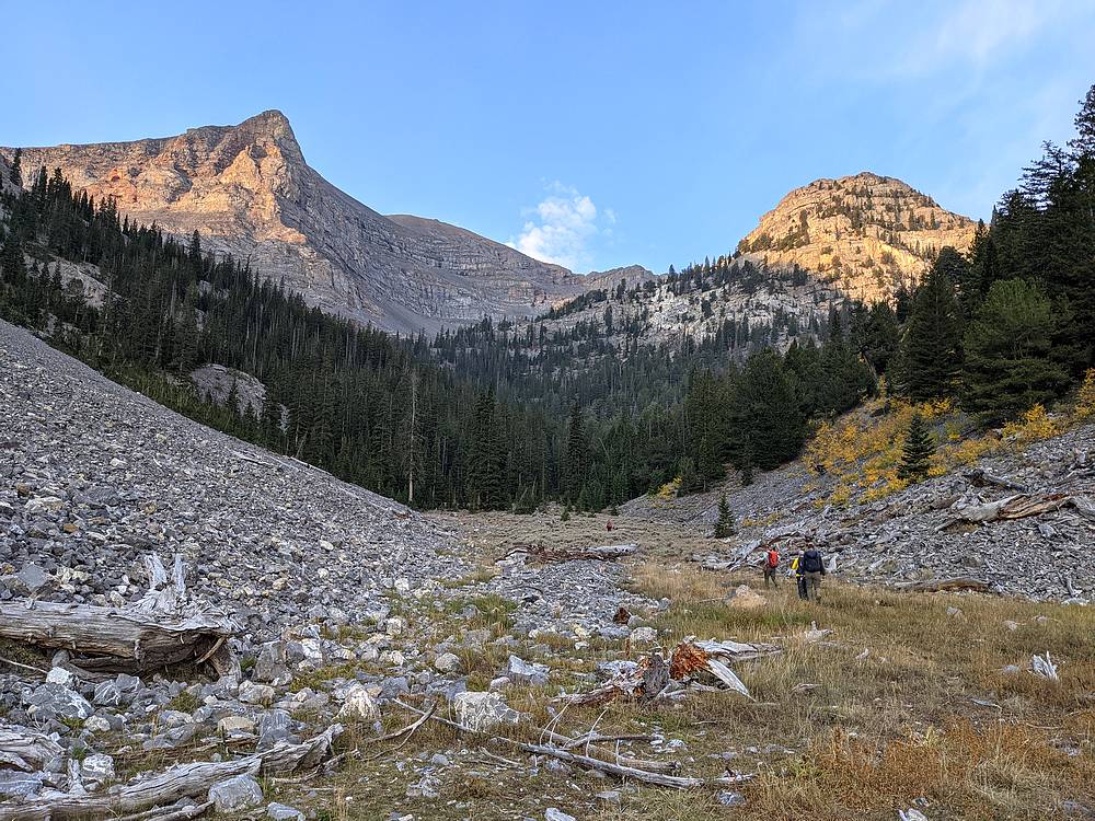
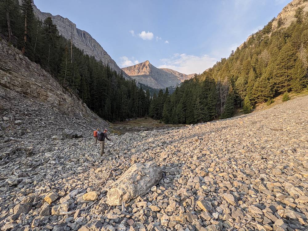
Our party of five included Michael, John F, Jeff, Jason, and myself. We rolled into Loristica Campground at various times during the evening, and chose a 7am departure time to be hiking by first light. Once up and hiking the next morning, we made a choice. Instead of immediately descending into Wet Creek, we headed uphill briefly from the trailhead Then we gradually side-hilled our way toward the creek after a mile or so. Game trails through the trees made the bushwhacking easier, and then we were able to follow intermittent game trails along Wet Creek too.
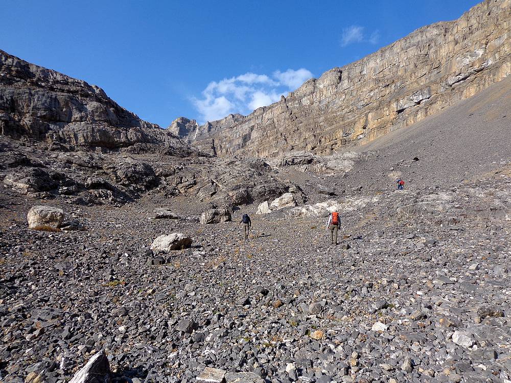
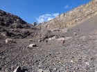
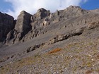
After a couple miles of scenic hiking, the drainage hung a right and got steeper. We stuck to the valley floor, and there was little to no water in the creek this time of year, so the travel was straightforward. As we made our way up into the cirque, the views got increasingly spectacular. Amazing limestone cliffs towered above us, and built anticipation for what was to come.
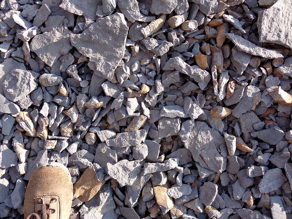
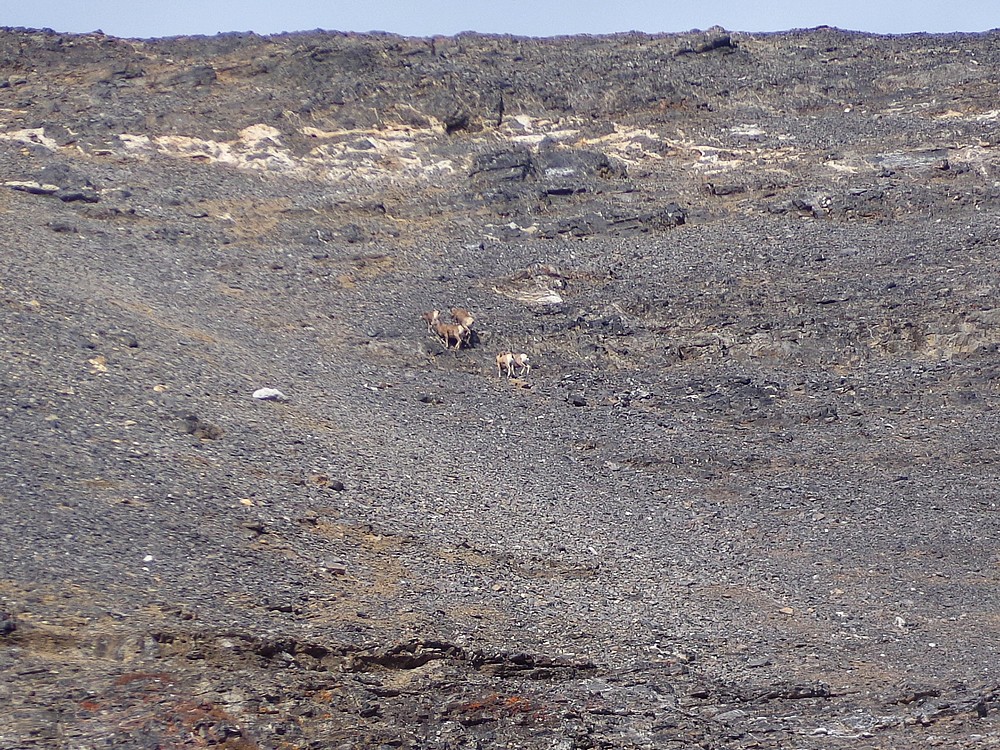
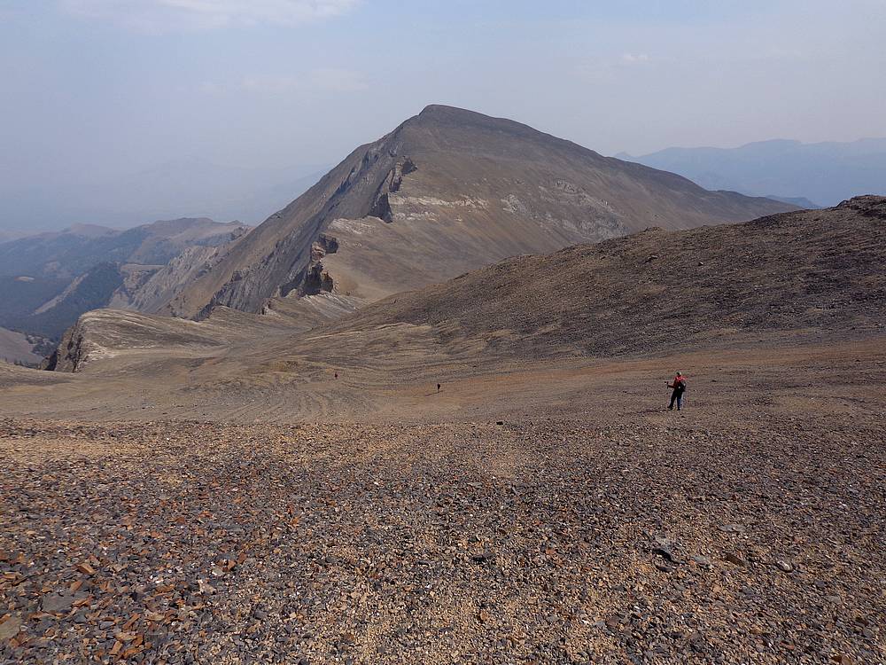
We paused at the dried up Nolan Lake for a snack and fossil viewing, then continued up and past two other mostly dry lakes above. Soon enough the funky and rugged Limestone Peak came into view. The slopes steepened as we followed a group of bighorn sheep up to the saddle overlooking the headwaters of Long Lost Creek. The forecast had correctly predicted high winds for the day, so we paused on the leeward side of the ridge for another snack break before heading south along the ridge toward Limestone Peak.
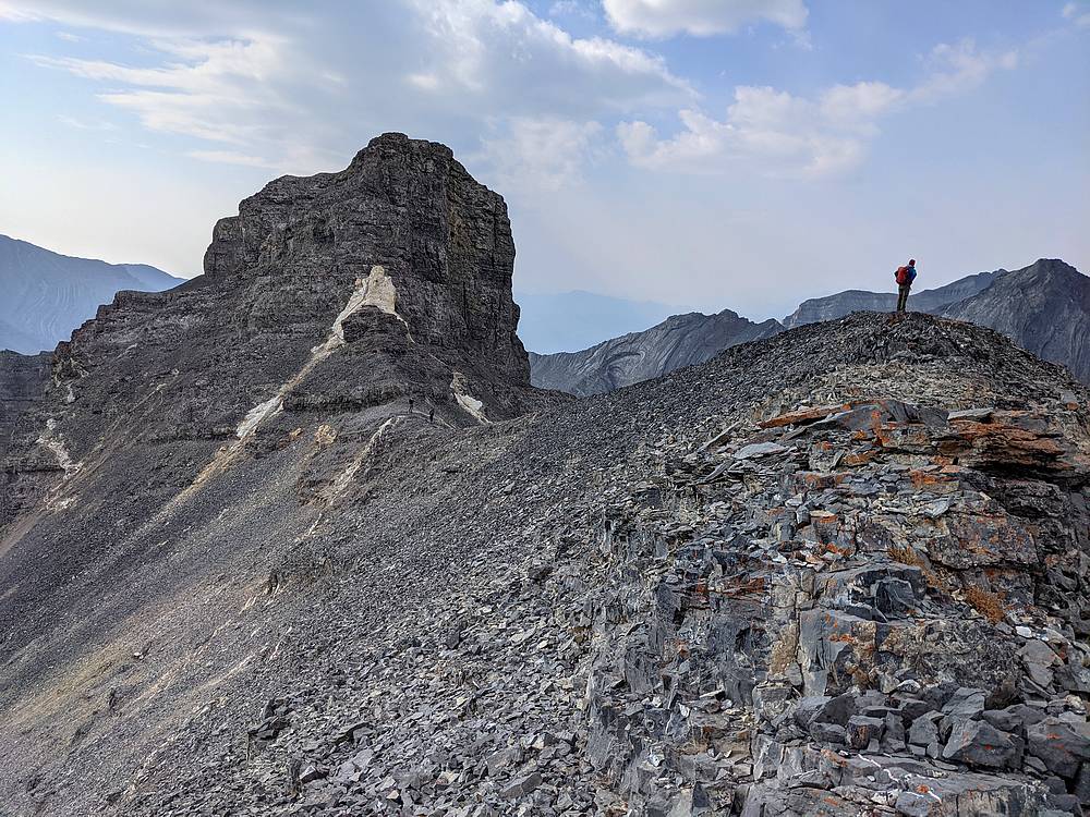
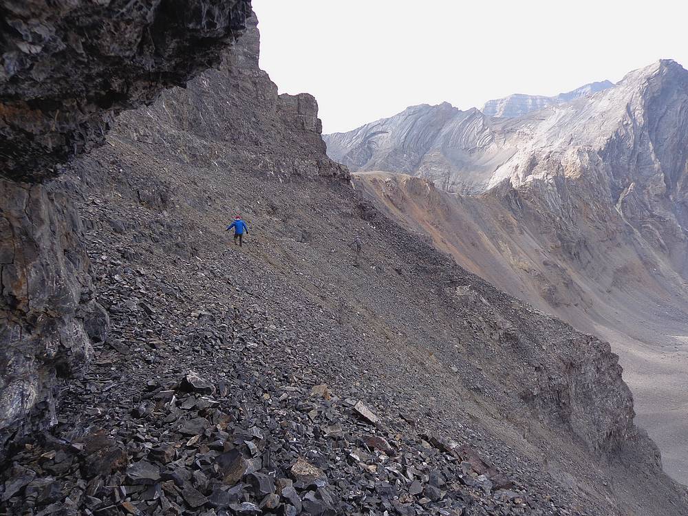
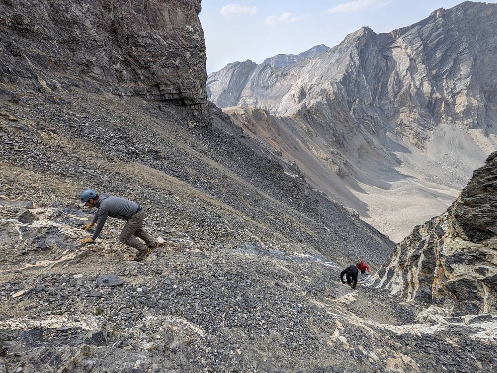
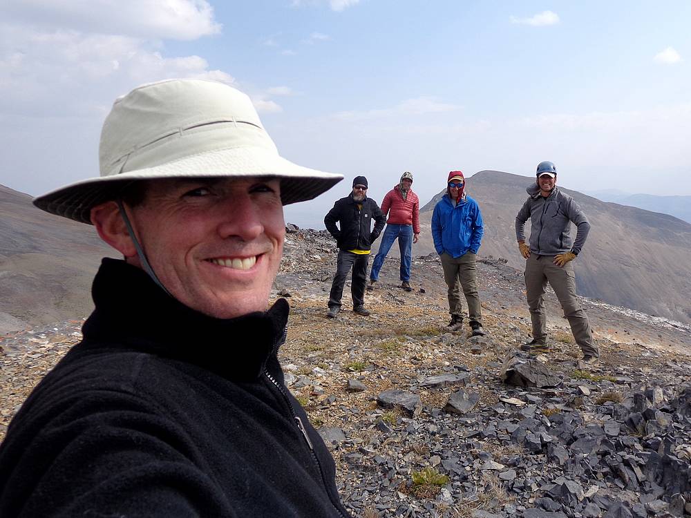
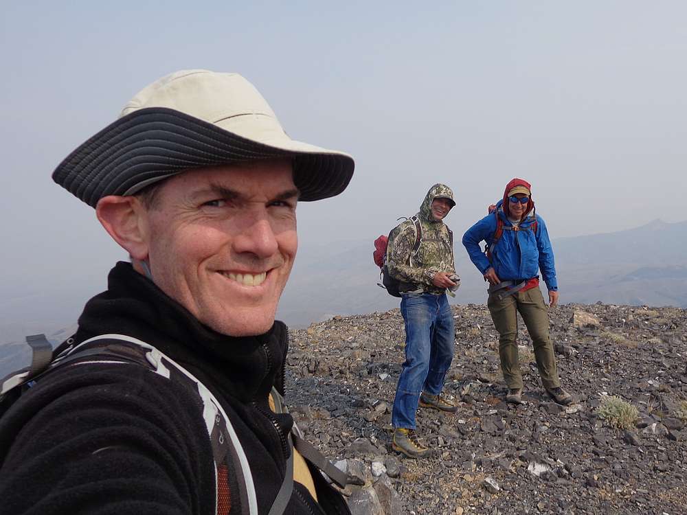
The route we’d read about seemed unlikely from our position at the base of the summit block. We followed a sheep trail across steep talus on the west side of the peak, then hung a left up a steep gully. “Cheese grader” was a good description, with loose scree over the top of gritty limestone slopes. We split into groups to help avoid rock fall, and eventually crested the ridge between Limestone’s two summits. From this high saddle, we did a short and straightforward scramble up the highpoint on the north summit. Wow, the route worked! But the wind was howling, so we didn’t linger long on the summit.
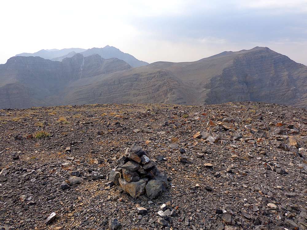
The descent was more challenging that the climb up, but we went slowly and carefully, eventually making it back down to the sheep trail without serious incident. We then followed the sheep trail back to the base of the summit block. From here we had views of the other two 11ers, and discussed if and who would head back, or continue with our big day.
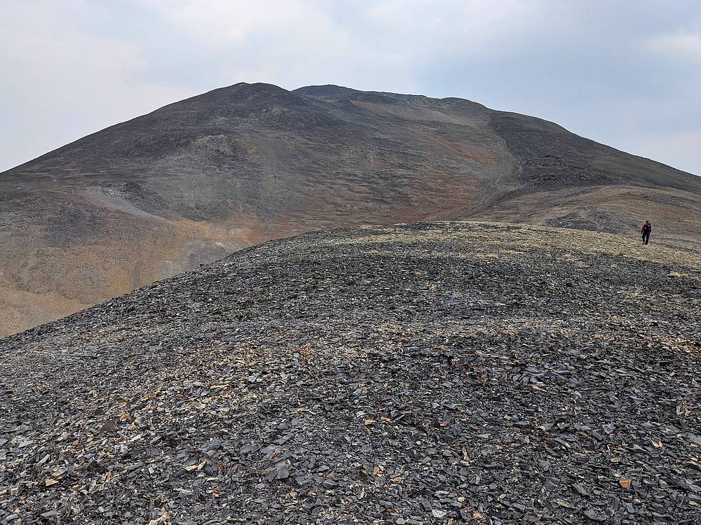
Ross Peak was within easy striking distance, so we all decide to go for it, even though Jason was having knee issues, and Michael had climbed it before. Each at our own pace, we made our way up mostly gentle talus slopes, to the summit of Ross Peak. Views were outstanding from the summit of the highest of the peaks on our schedule for the day.
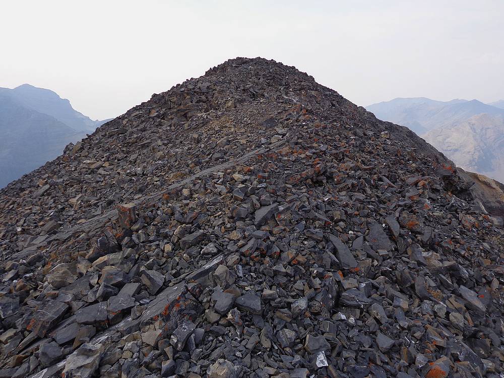
After Ross Peak, Michael and Jason decided to descend to Nolan Lake instead of more climbing. Jeff, John, and I headed up Last Lost Peak. The climb was straightforward, but our pace was slowing thanks to tired legs and steady winds blowing us around. It felt good to reach the summit of Last Lost Peak, our third 11er of the day.
From the summit of Last Lost Peak, we still had some ground to cover. The amount of talus between us and the tree line below was daunting. But we made our way slowly down the east side of the peak, doing our best to find either loose scree to ski, or stable rock to walk. Unfortunately, it was often a combination of the two, which was tedious.
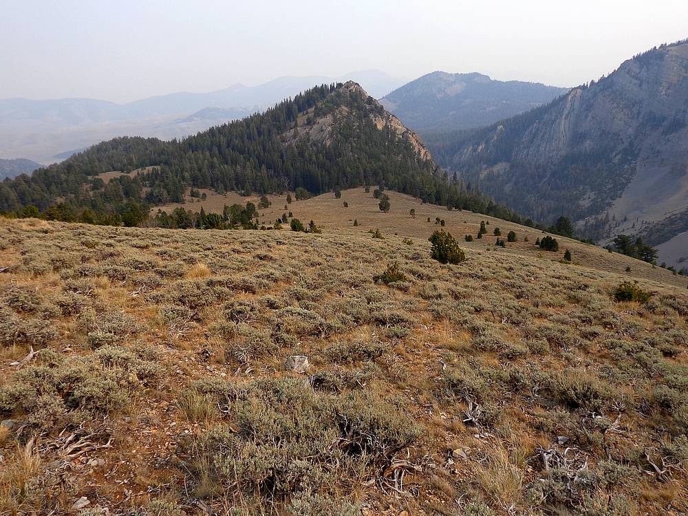
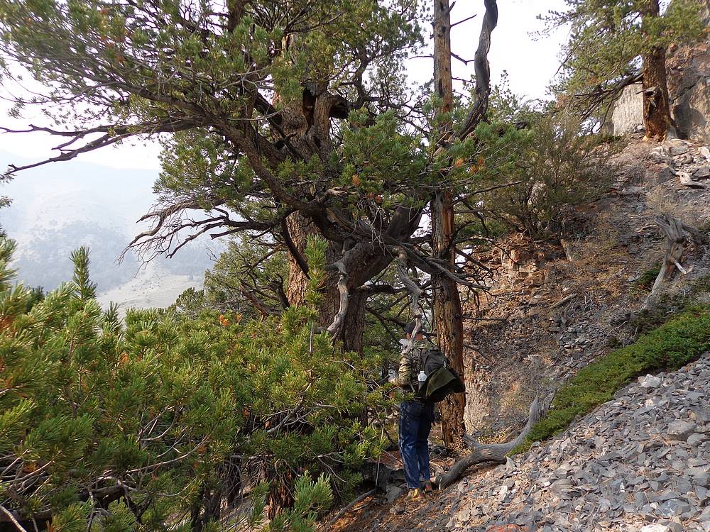
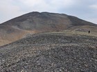
Once back down to greener slopes, we were within striking distance of one final small peak. I’m calling it "Wet Creek Point” (9188’). We were tired, but it was too close to resist. We headed up the southwest side of the peaks, passing a couple ancient and still living White Bark Pines. Jeff is a forester, and estimated they could be close to 1000 years old. Wow!
After a short snack on the summit, it was time for our final descent. We followed our noses and occasional game trails down through the trees, and eventually to the banks of Wet Creek. After a short while, we followed a game trail up the oppose side of creek, angled through the trees, and met the trail just below the trailhead, and back to camp. Michael and Jason had arrived about 15 minutes earlier.
What at fantastic day in the mountains! Round trip was just over 11 miles and 5500’ of elevation gain in 10 hours of hiking. This was a great adventure route that did not disappoint!
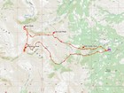
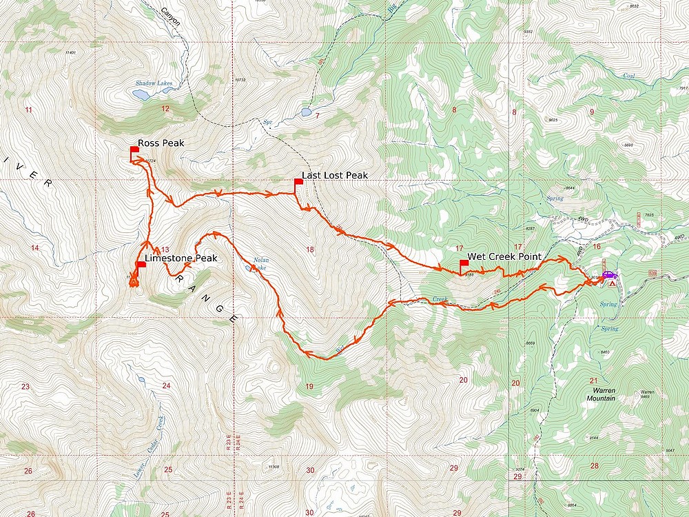
Map of the route, 11 miles and 5500' gain round trip. |

Heading up the Wet Creek drainage. |
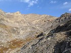
Rugged terrain around Nolan Lake. |
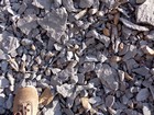
A couple spots had tons of fossils. |
Continuing on toward the upper lakes. |
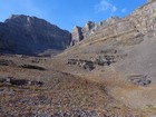
First view of Limestone Peak, on the right. |
Bighorn sheep heading toward the pass to Long Lost Creek. |
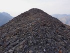
East face of Limestone Peak. |

Walking the north ridge of Limestone Peak. |
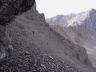
Scree traverse on the west face of Limestone Peak. |
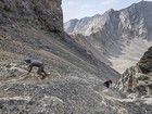
Making our way up the cheese grater on Limestone Peak. |

Group shot on the summit of Limestone Peak. |
Heading up Ross Peak. |
Nearing the summit of Ross Peak. |
Descending Ross Peak, heading to Last Lost Peak. |

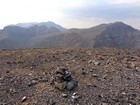
Group shot on the summit of Last Lost Peak. |
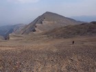
Limestone Peak and Ross Peak from Last Lost Peak. |

Wet Creek Point from the west. |
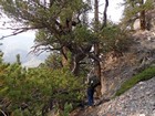
Ancient Whitebark Pine on Wet Creek Point. |

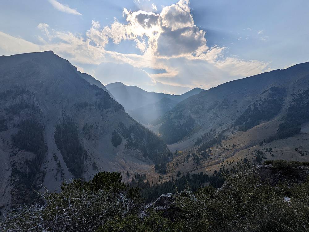
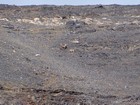
Wet Creek drainage from the summit of Wet Creek Point. |
|
|
|