|
Toy Mountain
The Owyhee Mountains of Southwest Idaho are great a great place for solitude. The high-desert terrain is best visited during the shoulder seasons when the temperatures are mild. Toy Mountain is located in the southeasterly section of the Owyhee’s, and is the highpoint on a section of the main Owyhee crest that extends southeast of Toy Pass.
With some unseasonable pleasant weather for early December, I was looking for something not too far from home to get out and stretch my legs. Toy Mountain seemed like a good option, and would put me in reach of a total of 3 Owyhee peaks.
I made the 90 minute drive from south Boise, through Oreana, up Bachman Grade, and parked at Toy Pass. It was a little breezy, but not bad as I hiked the jeep road leading south from the pass. It wasn’t long before I arrived at the first summit of the day, Peak 6302’ (I’m nicknaming it Toy Pass Peak).
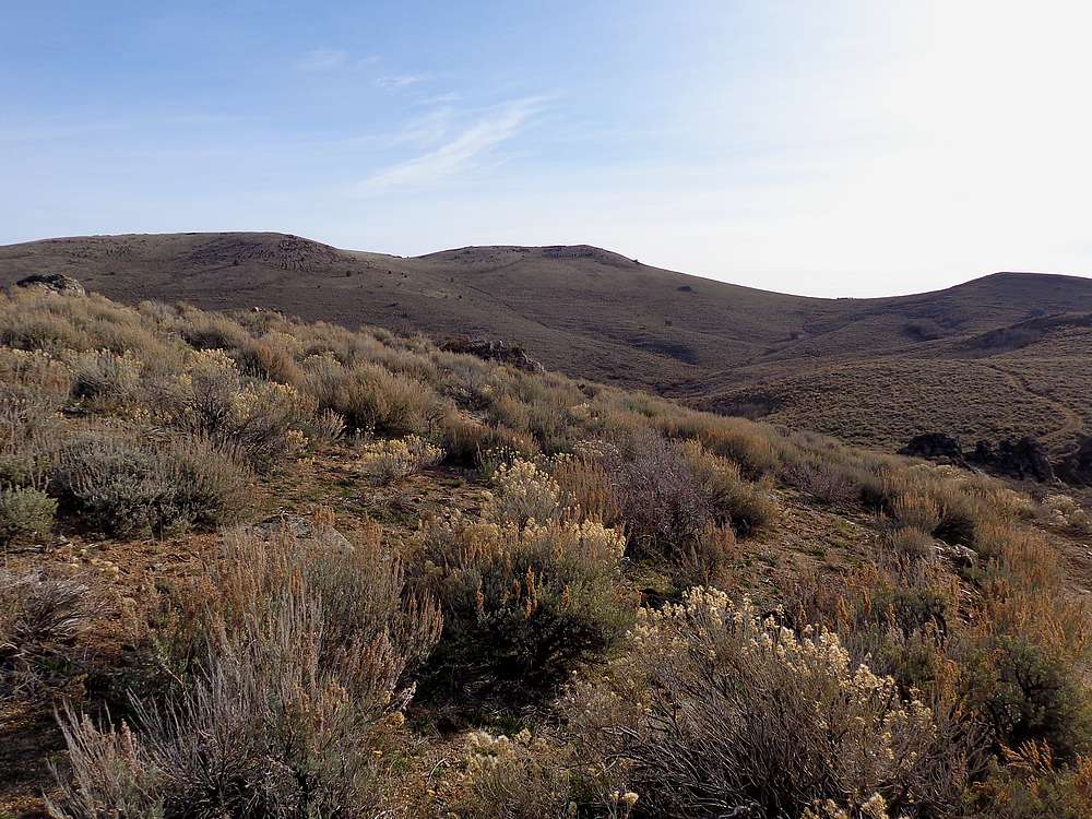
Skies were clear, and I could tell it was going to be a nice day. I continued south, cross-country along the ridge. Once down to a saddle, I hiked up another jeep road that took me most of the way up Peak 6497’ (nickname Toy Peak). To reach the summit, I left the road and bushwhacked through some mahogany shrubs before arriving at the highpoint.
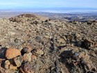
After the second peak, I continued hiking south through the brush, then contoured around to the jeep road again, which I was able to follow all the way to the saddle south of Toy Mountain. I left the road at the saddle, dodged a few cows, and made my way up to the summit.
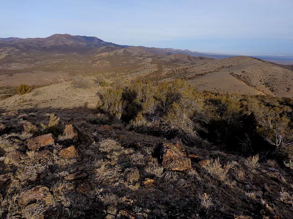
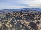
The summit of Toy Mountain was windy, but I found a spot just off the ridge that provided great views and made for a good spot to stop and enjoy a PB&J. I could see Rough Mountain to the south, the expansive Snake River Plain to the east, and Quicksilver Mountain in the distance to the northwest.
After lunch, I descended back down to the jeep road, and followed it back to my rig parked at Toy Pass. Round trip was just over 12 miles, 2500’ of elevation gain, and 3 peaks in 4.5 hours. Definitely nice to still be out hiking in early December. (Note, it snowed a few days later, and they then closed off the road for the winter.)

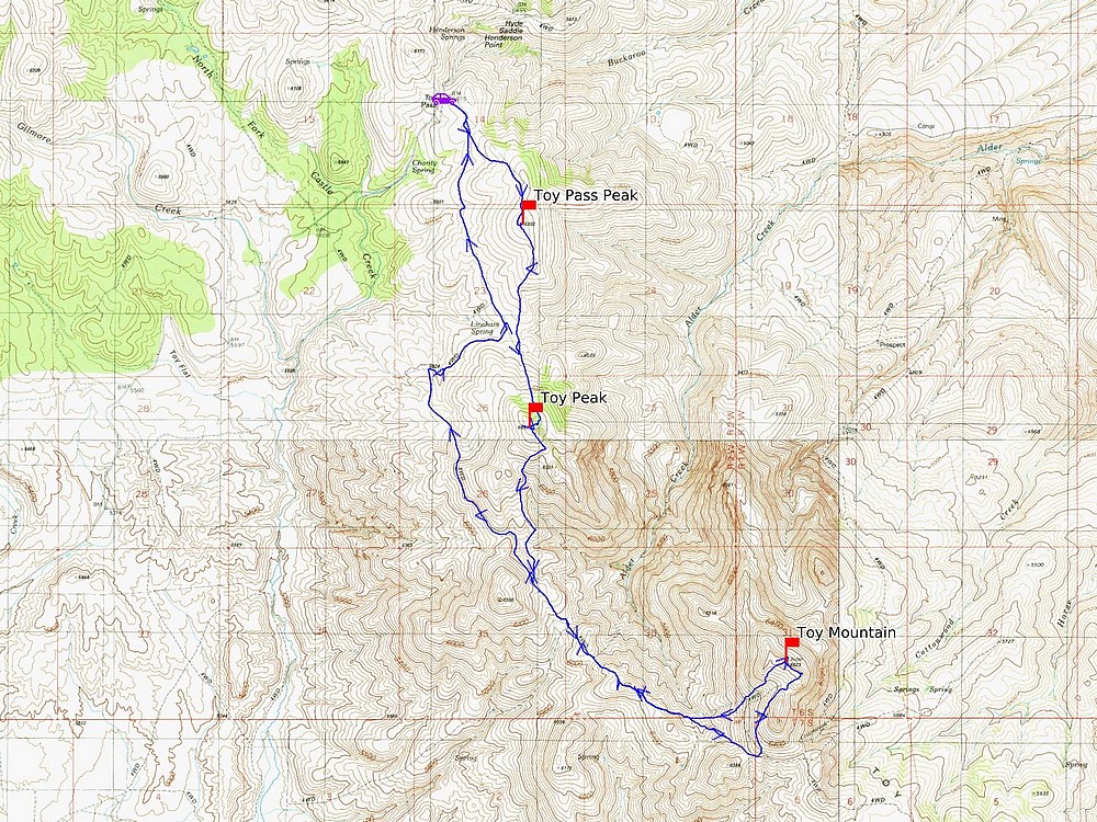
Map of the route, 12 miles and 2500' gain round trip. |

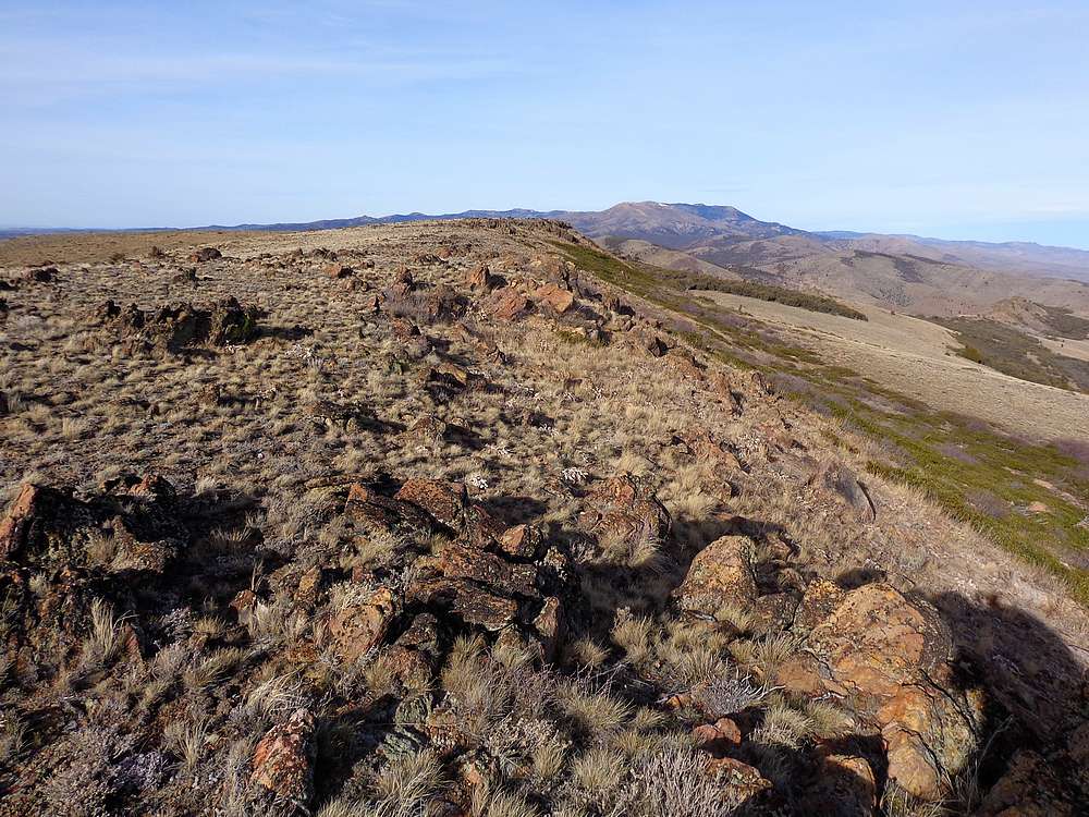
View south from the summit of Toy Pass Peak. Toy Mountain in the distance. |
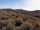
Toy Peak from the north. |
Quicksilver Mountain and Toy Pass Peak from Toy Peak. |
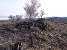
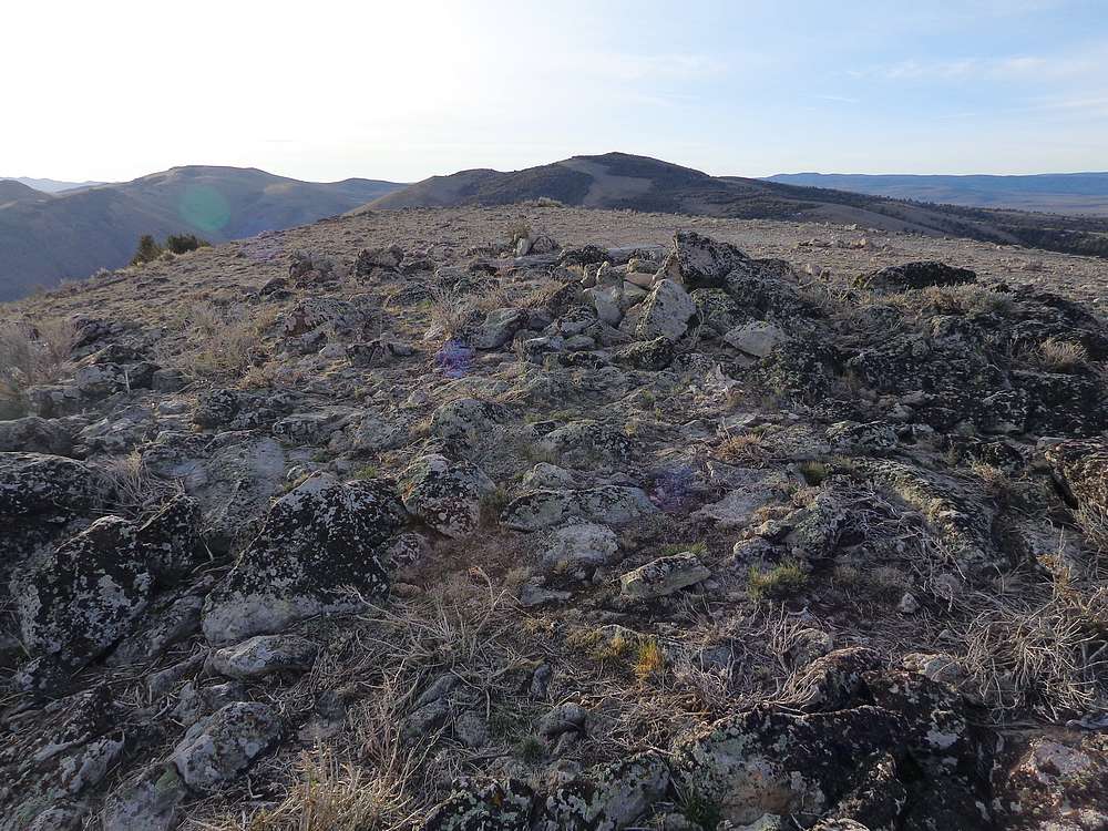
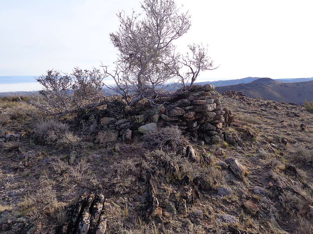
Summit of Toy Peak. |
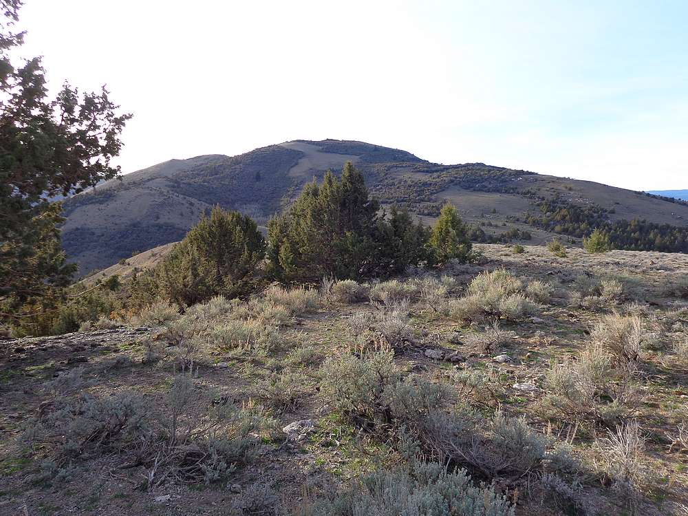
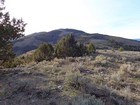
Toy Mountain from the west. |
View north from the summit of Toy Mountain. Quicksilver Mountain in the distance. |
Rough Mountain, view southeast from Toy Mountain. |
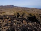
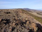
Toy Mountain summit view looking north at the Snake River Plain. |
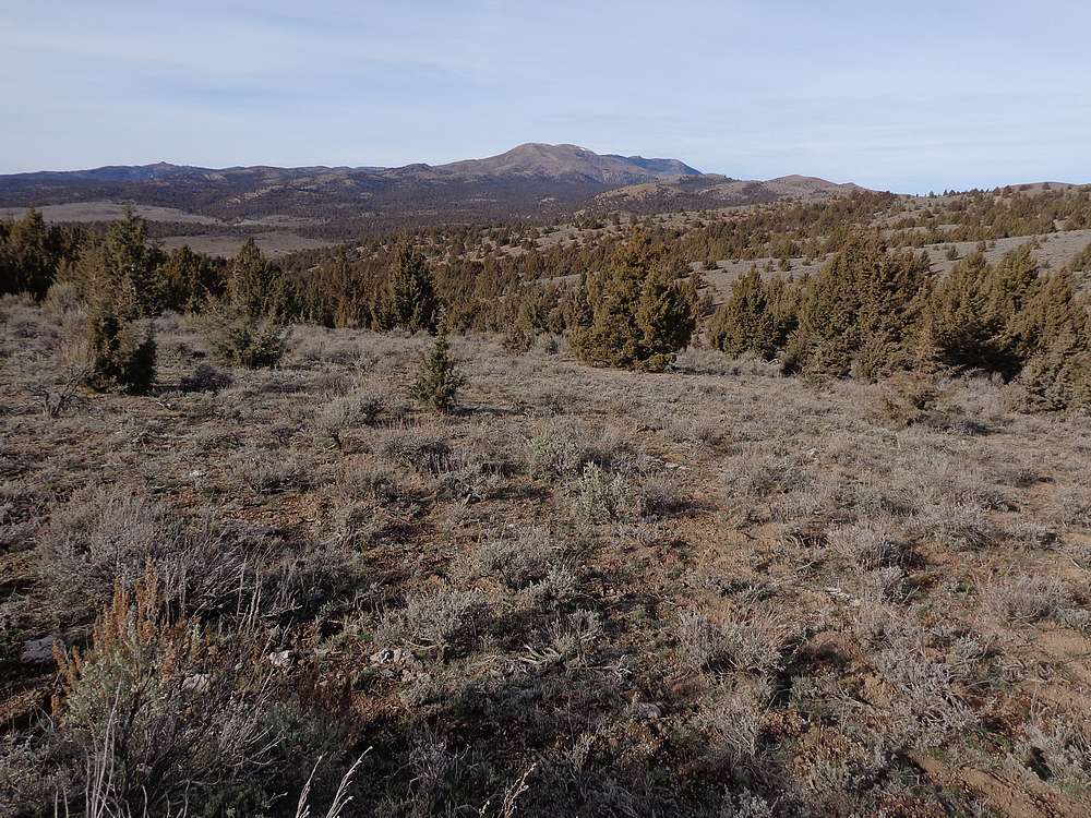
View of Quicksilver Mountain during the hike back to the trailhead. |
|
|
|