|
Mackay Peak
Elevation 10300'
Mackay Peak is located in the White Knob Mountains of eastern Idaho. The peak rises above the town of Mackay, and was home to extensive copper mining activity at numerous locations around the mountain. A summer visit to the peak would be a great opportunity to drive around and enjoy the “Mine Tour” connecting historic sites on the mountain. But the peak can also be visited in winter, thanks to a plowed road all the way up the 7600’ elevation.
It had been a long week. Having learned of the sudden passing of our dear friend John Platt, we were in a state of shock. But Michael and I eventually decided that out mountain climbing was probably the best place for us. I threw out a couple last second invites, and Haylee was able to join us too. We met in Mackay, then were able to drive the plowed road all the way to 7600’.
There was a maze of snow covered mining roads in the area, but we ultimately just took the path of least resistance up the mountain. There was a breakable crust on the snow, just strong enough to support us on while on snowshoes. Higher up, the ridge was windblown, so we took off the snowshoes to walk on dirt, and later on a firmer crust on the upper part of the mountain.
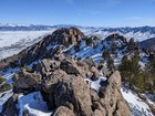
Not far below the summit, we got to pass through some cool rock towers, and then the final climb to the highpoint. There are a series of points along the ridge with similar heights, but we agree with prior parties that the summit is at the west end of the ridge.
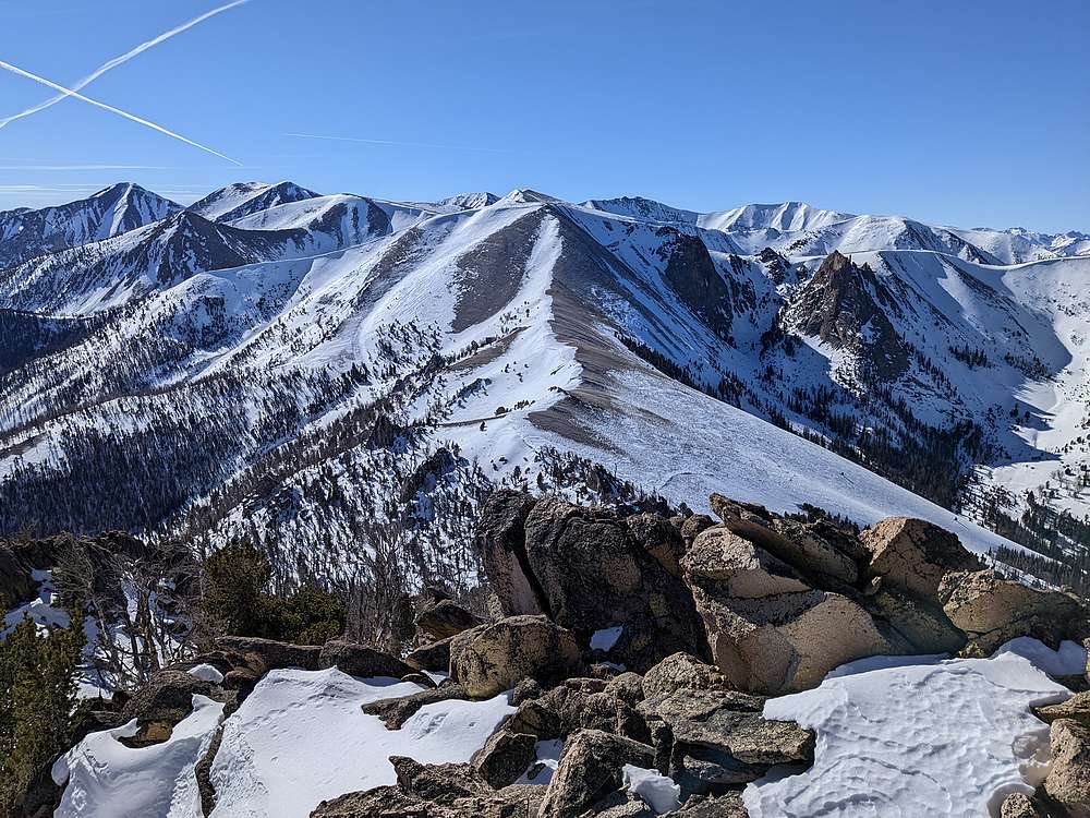
Eating my PB&J on the summit was an emotional time for me. It was a beautiful day, with amazing views of the Lost River Range on the other side of the valley. I’m fortunate to have had so many great adventures in those tall peaks, and many of them had been with my good friend John. I will treasure those memories now, all the more.
It was still fairly early, and I’d contemplated continuing along the ridge south toward White Knob Mountain. But I didn’t some of the normal wind in my sails, and so I didn’t make any sales pitch to convince Michael or Haylee.
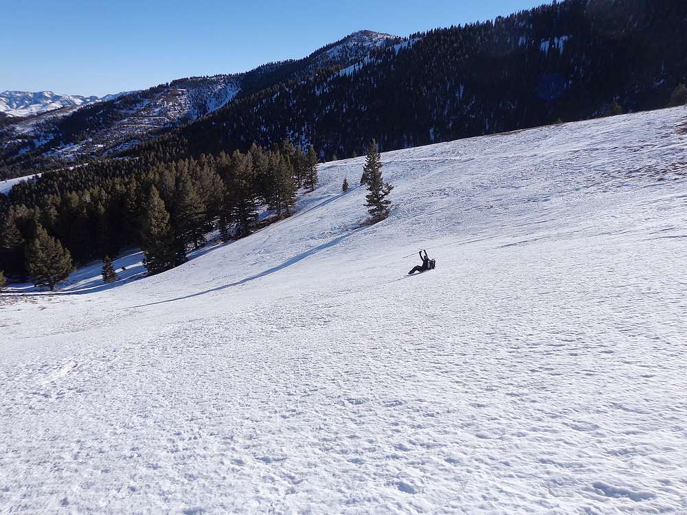
We retraced our way back down. Haylee tried some glissading in the steep sections, and we continued to enjoy our views during the descent. Round trip was just under 5 miles and 2600’ of elevation gain in around 6 hours of hiking. A beautiful day in the mountains, and fantastic to get above 10,000’ in February!
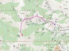
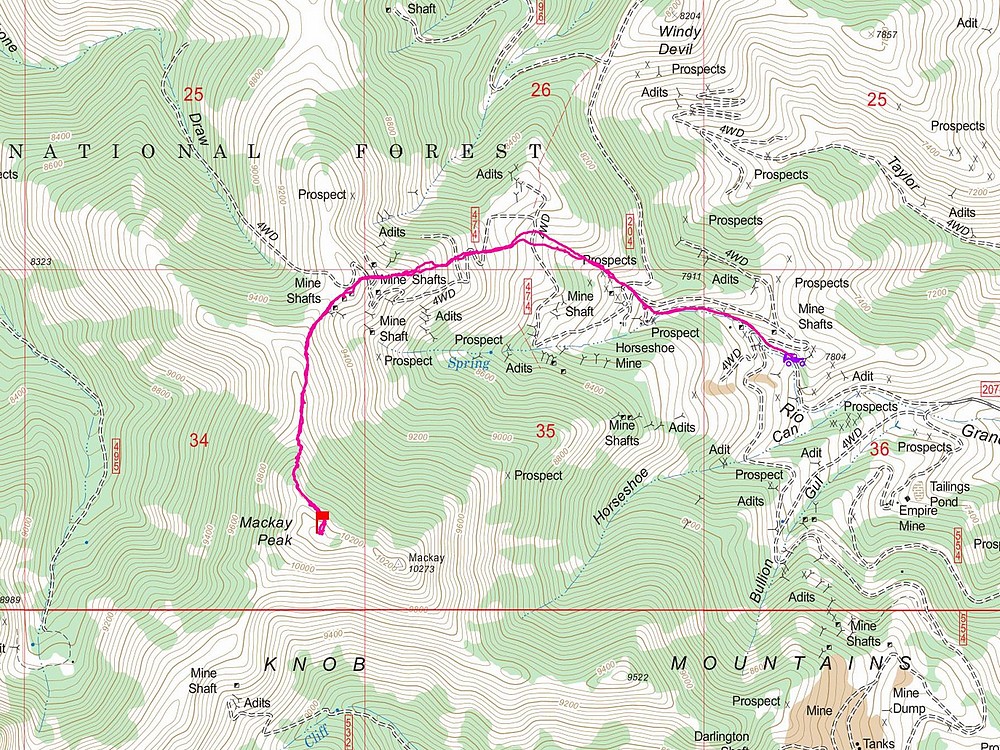
Map of the route, just under 5 miles and 2600' gain round trip. |
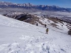
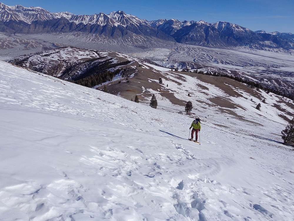
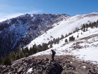
Michael heading up, with the Lost Rivers in the background. |
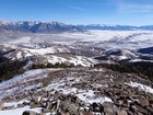
Town of Mackay far below. Low snow this year… |
First good view of Mackay Peak, summit on the right. |
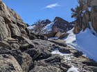
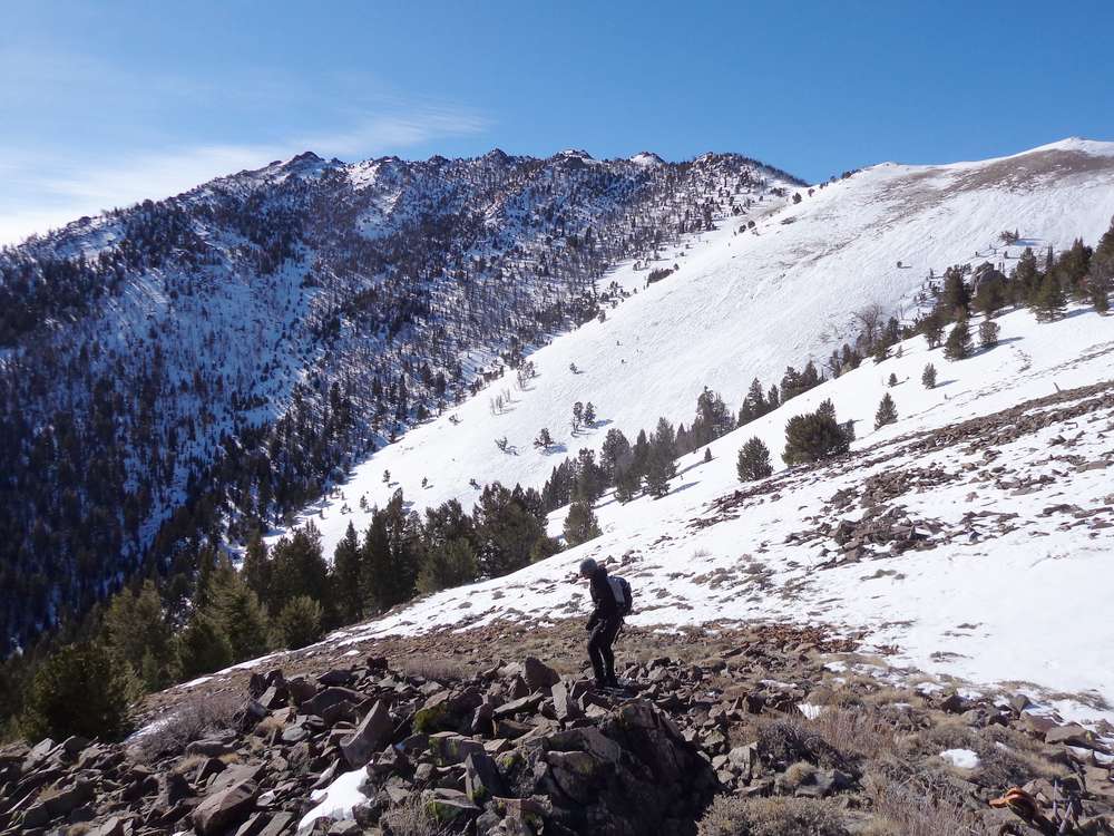
Cool rock towers not far below the summit. |
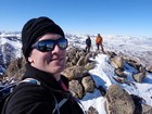
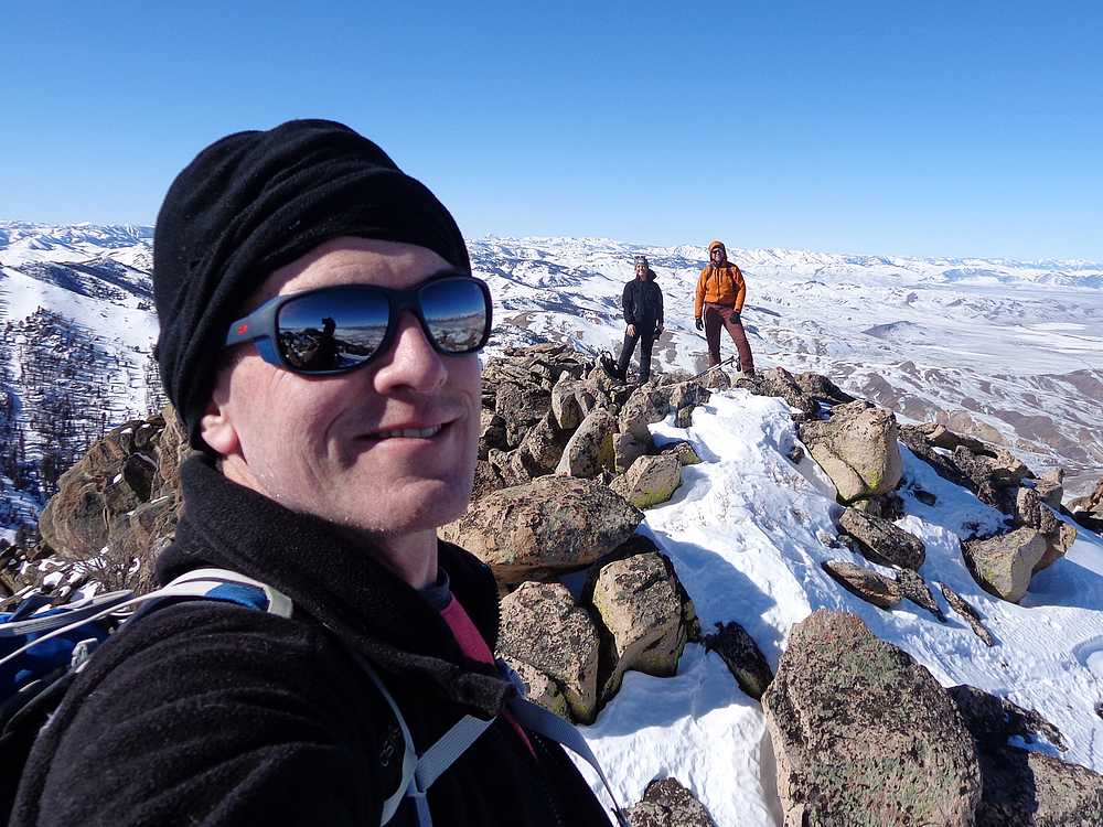
Summit of Mackay Peak. |
View east from the summit. |

Looking into the White Knob Mountains. |
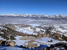
Amazing view of the Lost River Range from the summit of Mackay Peak. |
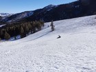
Haylee enjoying some glissading. |
|
|
|