|
Gloved Peak & Shril Peak
The Lemhi Range of eastern Idaho is made up of an impressive string of peaks over 100 miles long. This is remote and rugged terrain, and a great place to find solitude. The southern end of the range is anchored by Saddle Mountain, and just to the north are a group of obscure 10,000 foot peaks including Gloved Peak and Shril Peak. These peaks make good early season objectives since the Lemhi’s are in the rain shadow of the Lost River Range just to the west, and this part of the state is dryer in general.
Plans came together on short notice after Michael and I exchanged texts about possible peaks to tackle during this unusually dry spring. I wasn’t at all familiar with these peaks, but after studying maps, figured Gloved would be within reach, and maybe Shrill too if we got lucky with conditions.
After a long drive from Boise, we were amazed how little snow was on the west side of the Lemhi’s as we approached our “trailhead” at the mouth of North Creek. We parked just below the ranch shed, and were hiking by 9am.
We made good time up the jeep road that followed the canyon floor. Passed some old mining activity, 4 creek crossings, then hung a left after 3 miles and continued up a mining road that switch-backed up to a saddle southwest of Gloved Peak.
After 5 miles of hiking the rough road, we took a lunch break at the saddle. Then it was time to head uphill in earnest. The scree above us looked daunting, but we managed without too much slippage. High winds were in the forecast, but overall the weather was pretty decent as we arrived at the summit of Gloved Peak. Views of Saddle Mountain and Tyler Peak to the south were impressive, as were Nicholson, Little Diamond, and Diamond Peaks to the north.
It was pretty unusual to reach a tall peak in early April, with minimal snow to contend with. And to ridge leading northeast to Shril Peak had fairly minimal snow too. So on we went! We made the 400’ descent off Gloved, traversed the ridge to the base of Shril, then 500’ of climbing to reach the summit. We enjoyed great views along the way, and spotted several fossils to check out. All of which distracted us from our huffing, puffing, and tired legs.
The wind started picking up as we reached the summit of Shril, so we didn’t stay long. And with 7 miles between us and the trailhead, we had some ground left to cover! We retraced our path along the ridge, and then re-climbing Gloved Peak into a light headwind took some effort. But the real wind didn’t start until we crested the ridge and were making the scree descent back to the saddle. It was a relief to start dropping back into the canyon and out of the wind. From there, the road walk back to the trailhead was mostly uneventful, other than trying to avoid muddy areas of the now thawed out road.
All in all, an excellent day in the mountains! Just under 14 miles and 5100’ of elevation gain in 8.5 hours of hiking. Unseasonably minimal snow allowed us to tag 2 peaks, and in a new area for me. A pretty big day for early season!
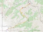
Map of the route, just under 14 miles and 5100' gain round trip. |
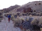
Passing a cool old mining building above the trailhead. |
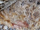
Historic graffiti from 1925. |
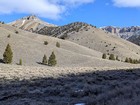
Gloved Peak and Shril Peak from the North Creek valley. |
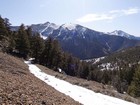
Making our way up the switchbacks, Tyler and Saddle in the background. |
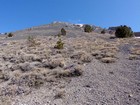
Scree field above the saddle. |
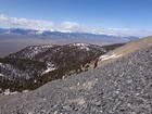
Climbing scree, with the Lost River Range in the background. |
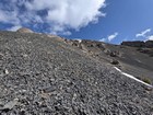
Heading up the scree on the southwest face of Gloved Peak. |
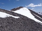
Nearing the summit of Gloved Peak. |
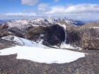
View north from Gloved Peak includes Nicholson, Little Diamond, & Diamond Peak. |
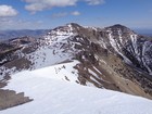
Heading northeast toward Shril Peak. |
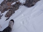
Coyote tracks on the ridge tell us we aren't the first visitors this year. |
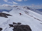
Traversing the ridge, Gloved Peak in the background. |
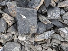
Fossils on the ridge. |
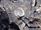
Shril Benchmark from 1956. |
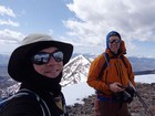
Summit of Shril Peak, Gloved Peak behind us. |
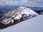
Gloved Peak from Shril Peak, Lost River Range in the background. |
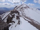
Cornices along the ridge as we prepare to re-climb Gloved Peak. |
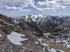
Clouds building above Tyler Peak and Saddle Mountain. |
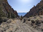
Almost back to the trailhead at North Creek. |
|
|
|


