|
Umpleby Peak
An Excellent Adventure in the Lemhis
Spring Snow Climb of Umpleby Peak, with two other 10ers as bonus!
The Lemhi Range of eastern Idaho is made up of an impressive string of peaks over 100 miles long. This is remote and rugged terrain, and a great place to find solitude. The center of the range is dominated by the impressive Bell Mountain. But the summit just to the north of Bell, Umpleby Peak, should not be ignored. Although Umpleby is overshadowed by its famous neighbor, it makes for a worthy climbing objective, and can be combined with two other 10,000’ peaks that line the north side of Basinger Canyon for a great 3-peak day.
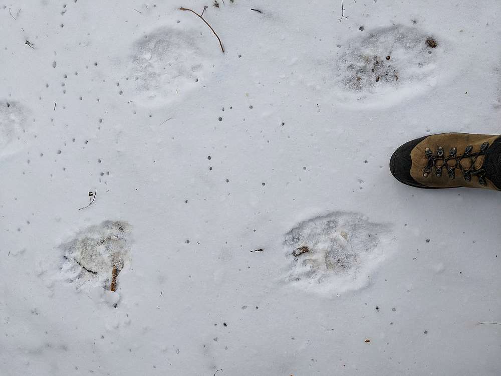
Schedule conflicts and weather concerns whittled our group down to 3 climbers. After camping at the mouth of Basinger Canyon on Friday night, Haylee, Michael and I made the slow drive to ~7600’ and parked. We hiked along an ATV trail that soon faded into a game trail. Soon, we found out what kind of game, bear! Fresh bear tracks in the recent snow put our heads on swivels, but we never saw one in spite of an abundance of tracks.
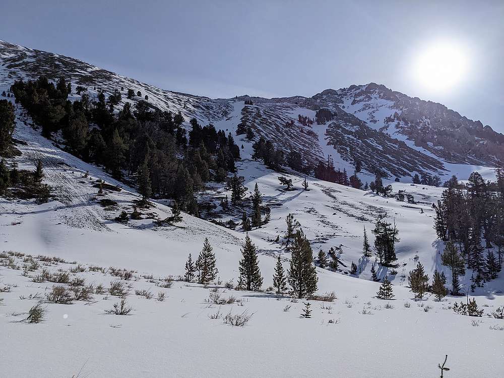
We made our way up toward the head of the canyon until Umpleby came into full view. It looked impressive. After debating about which of 3 snowy gullies to climb, we chose the aesthetic eastern most gully with hopes it would take us directly to the summit.
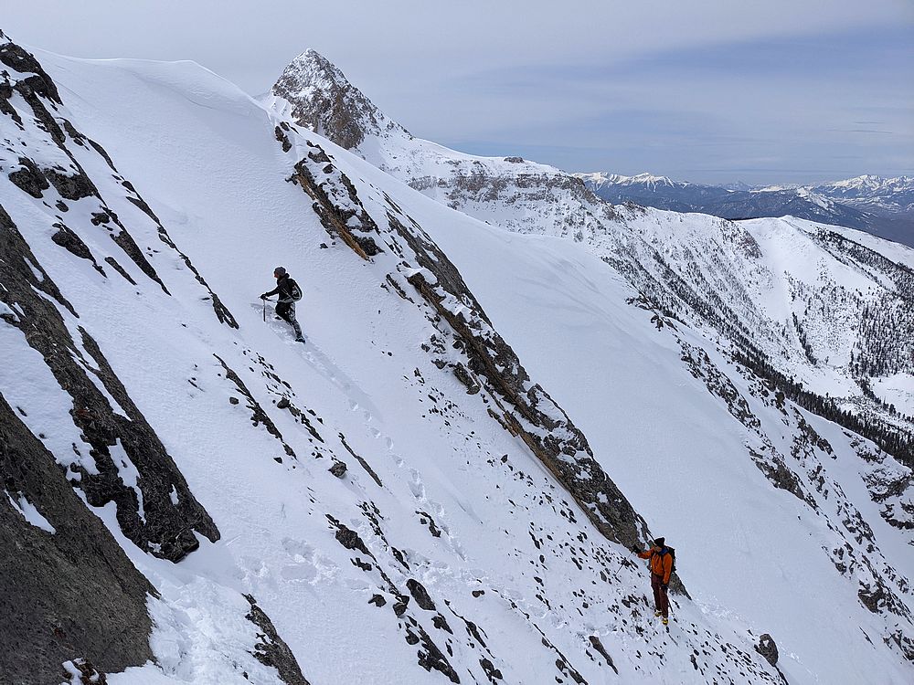
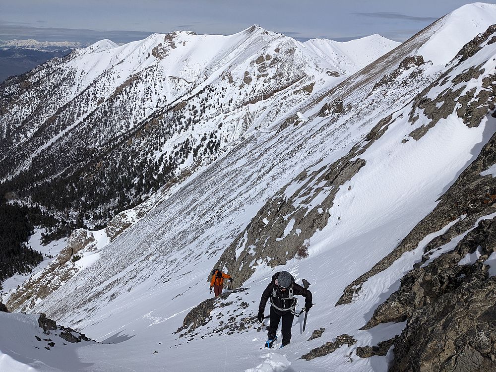
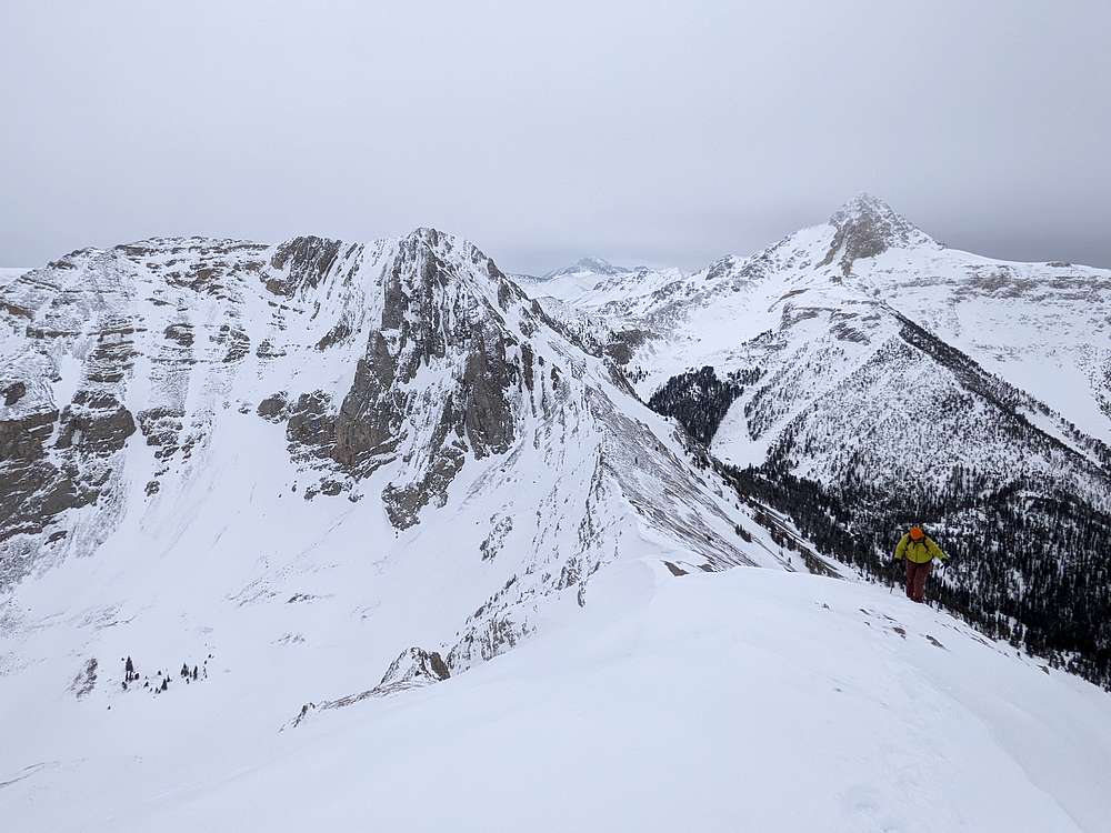
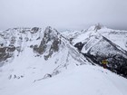
The base of the gully was ~9100’, where we put on crampons. The snow was perfect at first, but got little rotten as we climbed. Still better than scree! We climbed steadily up the west face of the peak, with the slope getting steeper as we went. From below, we weren’t sure if the route would take us all the way up, but we eventually crested the ridge just south of the summit. Here we were greeted by in your face view of the Bell Mountain, and Diamond Peak further south. We also saw tracks from a mountain goat Haylee had spotted earlier from far below.
After photos and a snack, it was time to head down. We planned to descend the same route, and it looked pretty dang steep from above! But we took our time and made steady progress. Once down the gully, and even with the saddle on Umpleby’s west ridge, we traversed out of the gully and over to the ridge.
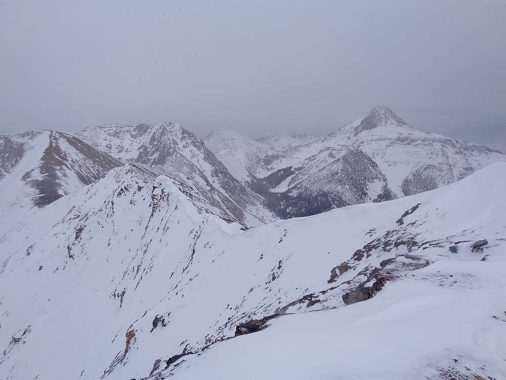
Our next objective was “The Knoll” (Peak 10490’). It was only ~500’ of vertical to reach its summit, but the wind had started howling, which made for a little extra effort. The summit of The Knoll was a great vantage point to check out Bell and Umpleby, as well as Medusa (Peak 10533’), the next peak along the ridge to the west.
At this point, the winds increased even more, and we good pushed around pretty good as we descended westward to the saddle. Michael had decided (wisely?) to descend back into the canyon while Haylee and I continued toward Medusa. In spite of the crazy wind, the next summit was just too close to resist!
Fortunately, the winds decreased a bit as we climbed above the saddle. The east ridge of Medusa was a mix of snow and rock, and we made steady progress, passed a couple false summits along the way, before arriving at the summit. Even with the wind, reaching a third summit of the day was very satisfying.
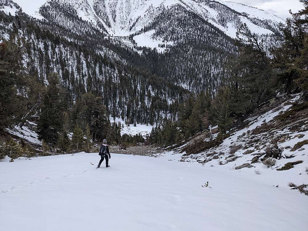
Next we had to find a way down. We backtracked along the ridge for a while, then headed down toward a snowy gully we’d noticed earlier. After some initial snowy talus gravel to deal with, we reached the solid snow. And looking down the gully, the snow looked pretty continuous. A glissade was certainly in order! I headed down first, making quick work of ~1000’ of descent. It was a blast! Haylee wasn’t far behind, and we agreed that was the way to travel! After the glissade, we made our way back to the valley floor, and followed our approach path back to the trailhead.
It had been an excellent day in the mountains! Just over 7 miles and 4200’ of elevation gain in 8.5 hours of hiking. Great climbing partners, a challenging snow climb, amazing scenery, 3 10ers, and a glissade to finish things off! Pretty hard to beat.
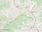
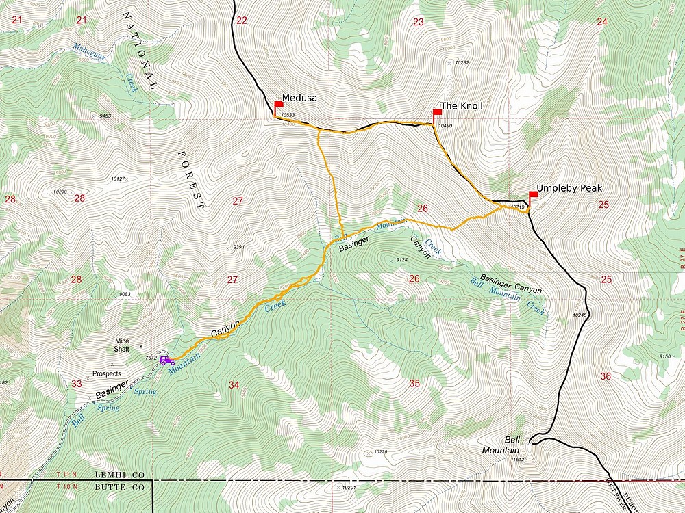
Map of the route, just over 7 miles and 4200' gain round trip. |
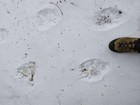
Lots of fresh bear tracks on the approach trail. |
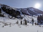
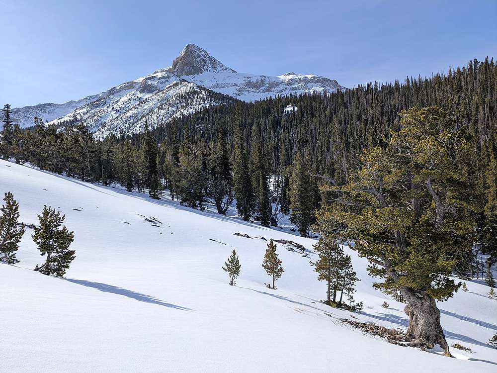
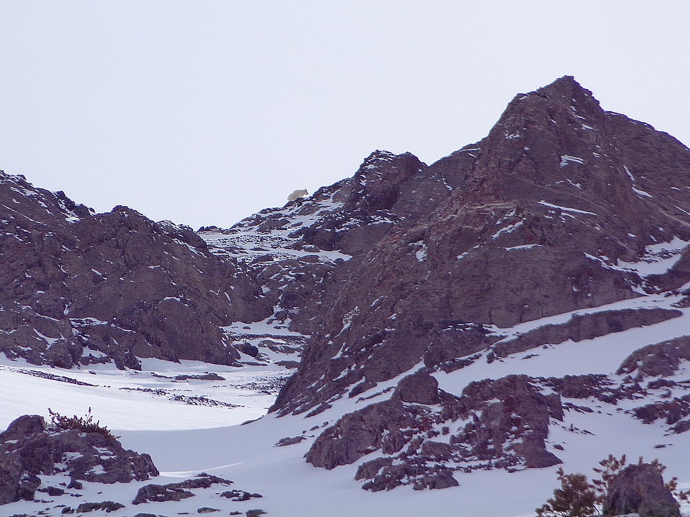
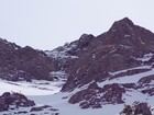
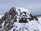
Looking up at Umpleby Peak from Basinger Canyon. |
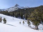
This White Bark Pine has a great view of Bell Mountain. |
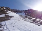
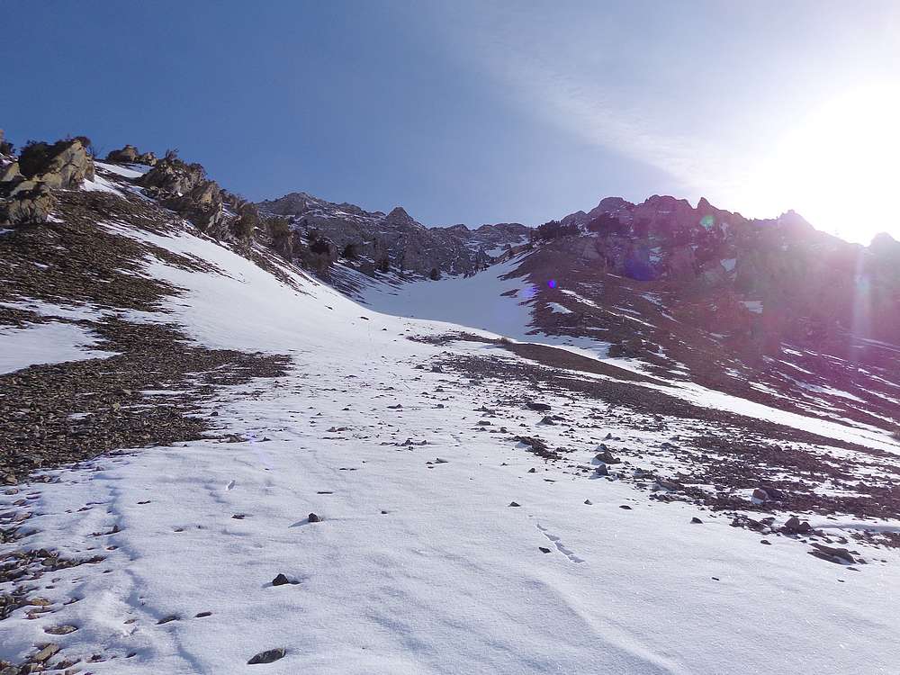
Base of the gully leading up the southwest face of Umpleby Peak. |

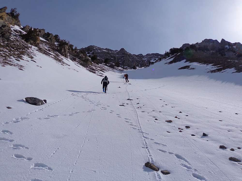
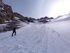
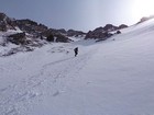
Heading up the gully. |
Something moving way up on the summit ridge? |
Close up of a mountain goat on the summit ridge. |
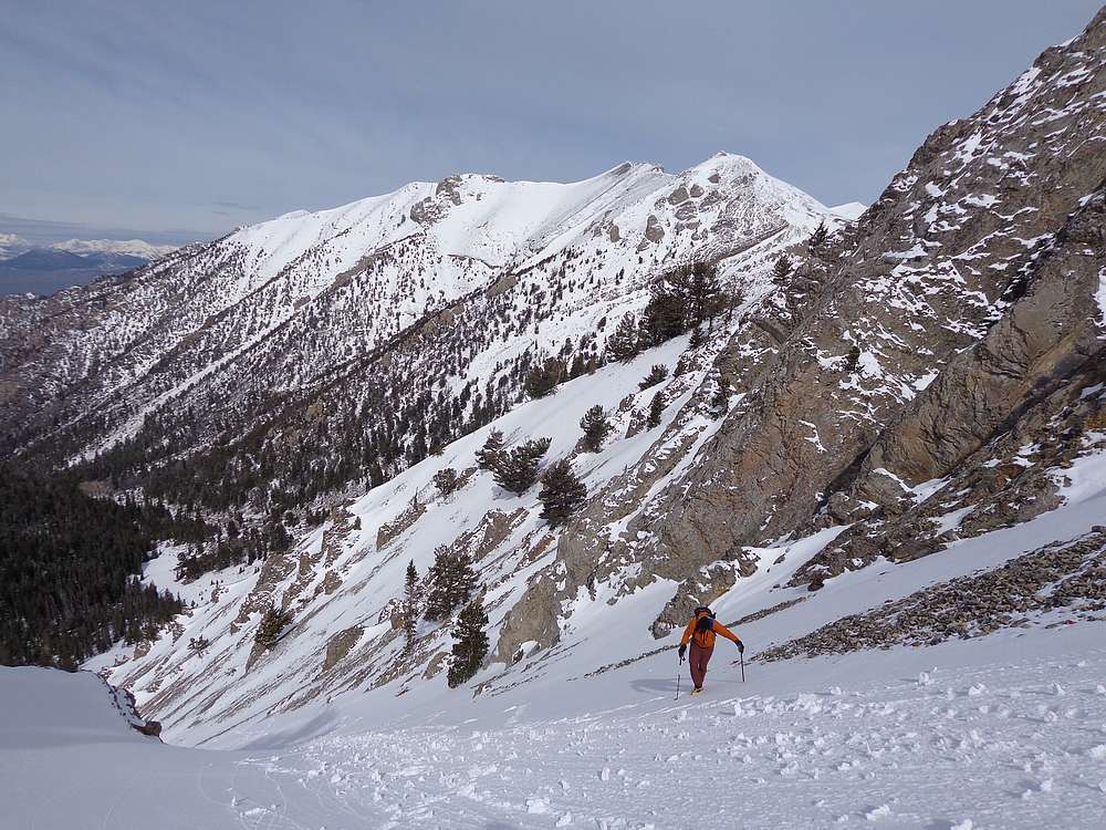
Medusa in the background as we climb the gully. |
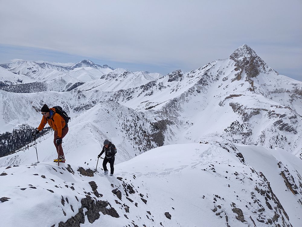
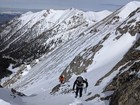
Haylee leading the way. |
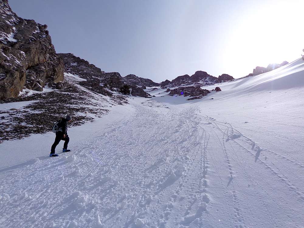
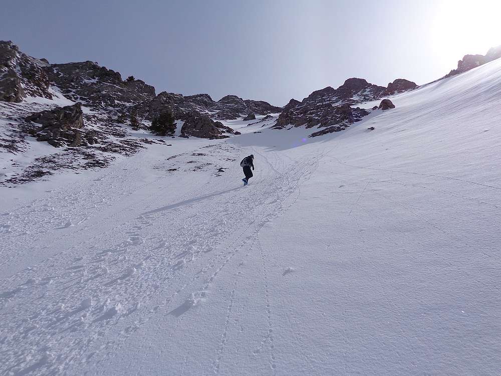
Getting steeper. |
Still climbing. |
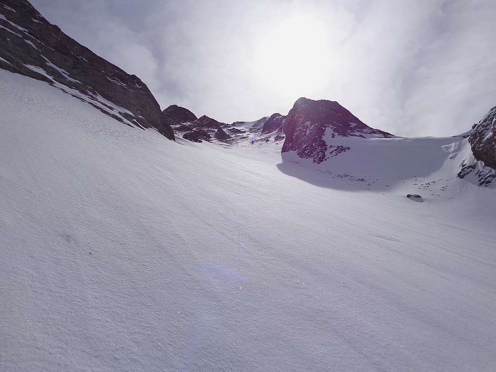
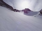
Steep section just below the summit ridge. |
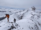
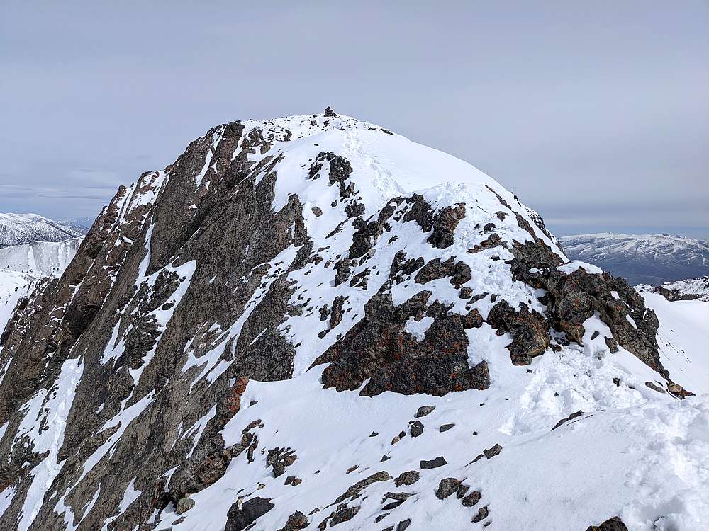
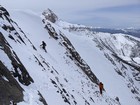
Nearing the summit of Umpleby Peak. |
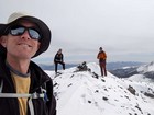
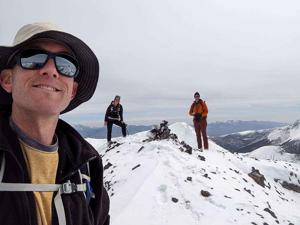
Group shot on the summit of Umpleby Peak. |
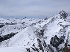
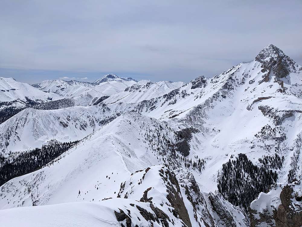
Diamond Peak and Bell Mountain from Umpleby Peak. |
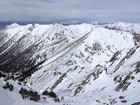
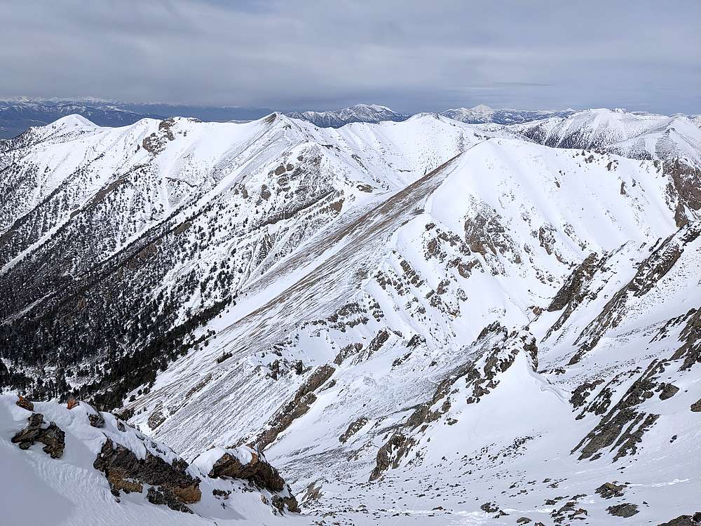
Medusa and The Knoll from Umpleby Peak. |
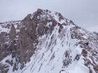
Looking back at the summit of Umpleby. |
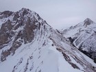
Umpleby Peak from the saddle on the west ridge. |
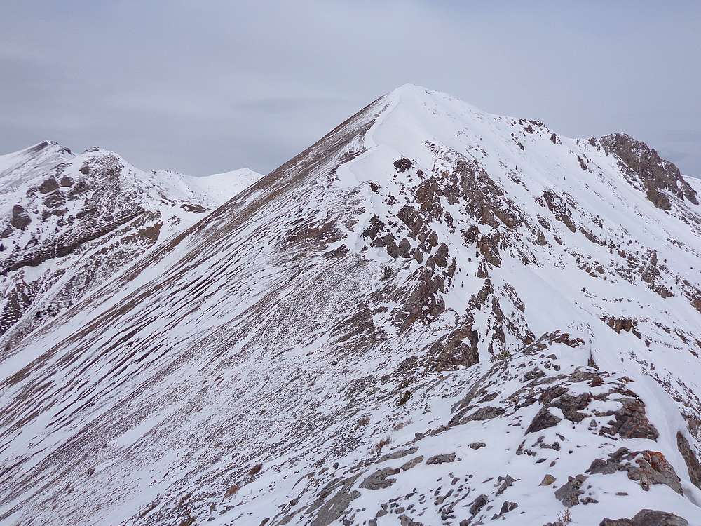
Heading toward The Knoll, Medusa on the left. |
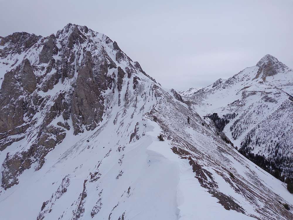
Umpleby and Bell from the west. |
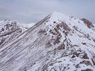
Michael nearing the summit of The Knoll. |
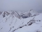
View from summit of Medusa of The Knoll, Umpleby, and Bell. |
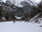
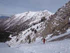
Almost back to the canyon floor. |
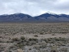
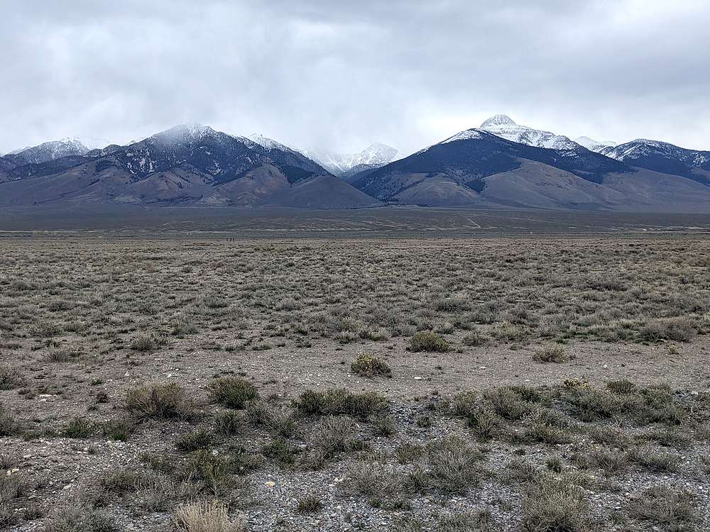
Umpleby from the Lost River Highway, its head in the clouds. |
|
|
|