|
Mount Borah
Elevation 12662'
Mount Borah is the highest mountain in Idaho, and is located in the Lost River Range on the eastern side of the state. This giant peak also boasts almost 6,000’ of prominence, making it a highly sought after ultra-prominence peak. As a result, Mount Borah is a very popular peak in summer months, with scores of folks hoping to test their mettle. But don’t mistake popularity for an easy outing. This is a physically demanding climb including a steep vertical mile of elevation gain in just 4 miles of travel one way. Not to mention some hands-on-rock scrambling across the infamous Chicken Out Ridge.
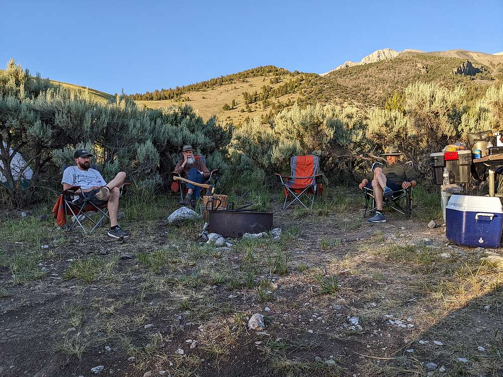
I’d climbed Borah 3 other times when I was young, but it had been a long time. This climb was with a small group of guys from my church. We were all looking forward to a big adventure and getting to know each other better. Jerry drove over Friday morning to reserve a campsite for us at the trailhead, while Rick, Lucas, and I drove over later that afternoon. Drive time from Boise was just over 4 hours, and we arrived early enough to do some sight-seeing, then cheeseburgers done on the grill, and some stories around the campfire before turning in for the night.
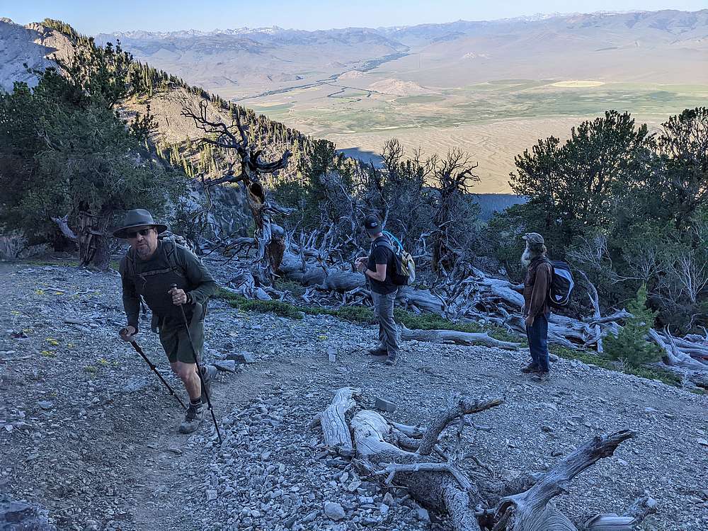
The next morning we awoke to our 30 cars at the trailhead. We took our time getting ready, and ended up starting our climb at 6:45am, one of the last groups to start hiking. The trail has been re-routed and improved since my youth, but is still plenty steep as it makes its way up through sagebrush and mountain mahogany at first, and then into forest terrain.
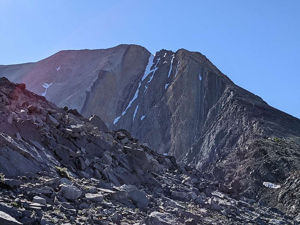
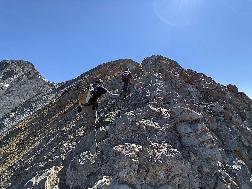
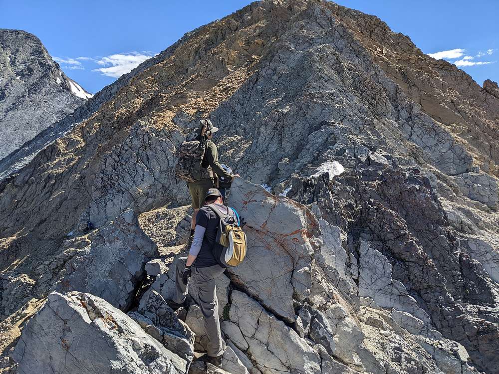
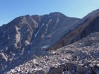
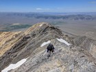
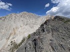
We set a pretty steady pace up the trail to tree-line, then reached the ridgeline and some great views of the upper mountain after about 2 hours of hiking. We were briefly reinvigorated by a stroll across the less-steep section of the ridge, but then it was time to face Chicken Out Ridge.
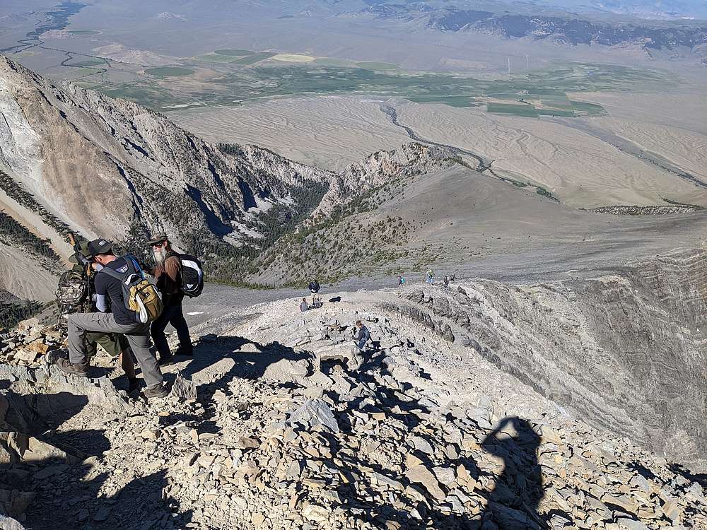
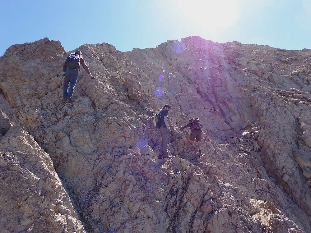
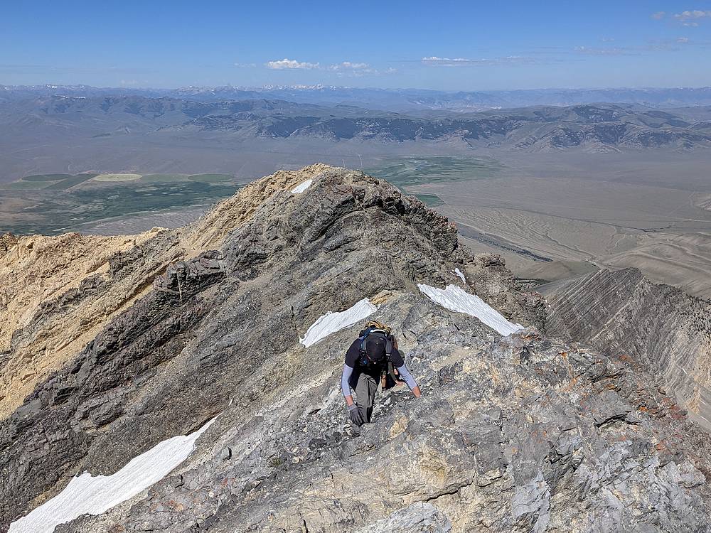
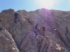
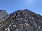
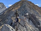
There were a few folks at the base contemplating their next moves, and a few folks already coming back down from the summit. We made our way up for a while, did a short scrambly traverse, then around a rugged gully, through some boulders, then to the high crux section of the ridge.
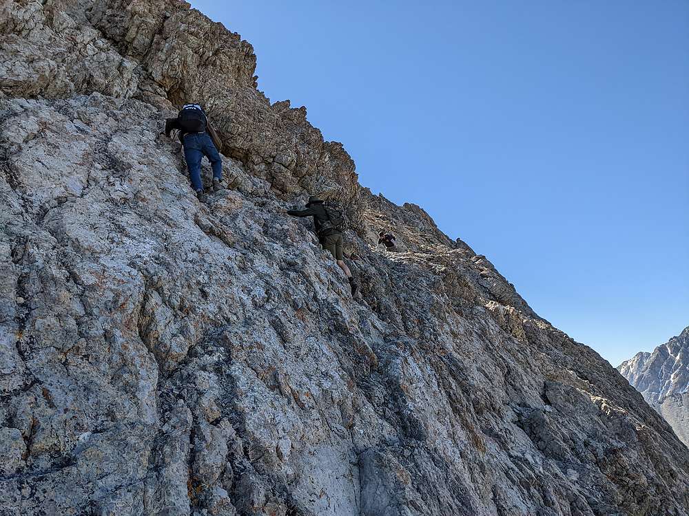
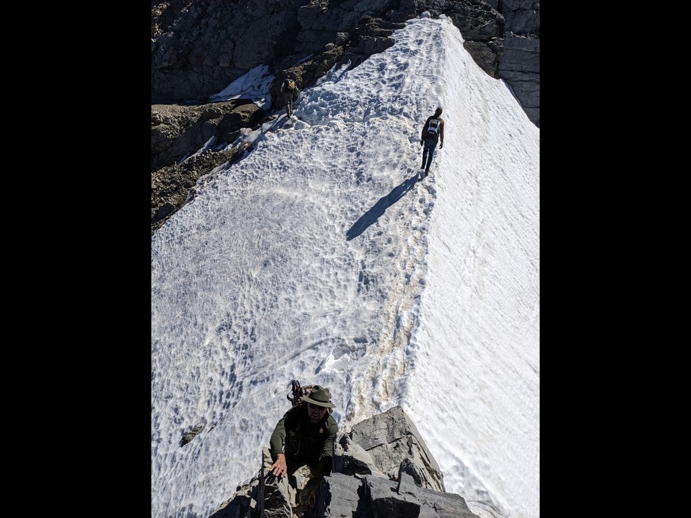
Our group did great along Chicken Out Ridge, and even the two first-timers looked like pros. We crossed the most exposed sections, then did the steep down-climb to the snow-bridge. Fortunately the snow was fairly soft by the time we reached it, and we made the careful walk across without incident.
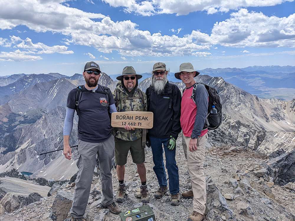
After the snow-bridge, we followed the climbers trail northwest below Pt 11898’, then to a saddle south of the summit block. From here, we continued slowly up the climbers trail toward the summit. This last section took a while due to fatigue and low oxygen, but we made it to the summit without incident.
Once on the summit, we enjoyed a snack and soaked in the views for a while. But we still had a lot of ground to cover, including re-crossing the crux. So down we went on the climbers trail. It wasn’t long before we caught up with another solo climber on his way down. He accepted an invitation to join our group for the descent, so we got to know a new friend on the way down.
We all took our time re-crossing Chicken Out Ridge, which is even trickier to climb down than up. Then all that remained was a long steep descent on the trail. It was a grind going down, and our dogs were barking by the time we got back to the trailhead. We capped off the day with burritos from KB’s, and ever-lively conversation during the drive home.
It had been an excellent adventure! Climbing Mount Borah is no joke, and our group did amazing. And to top things off, we forged some great new friendships that will be forever linked to this unforgettable experience.
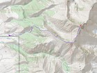
Map of the route, around 8 miles and 5300' gain round trip. |
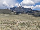
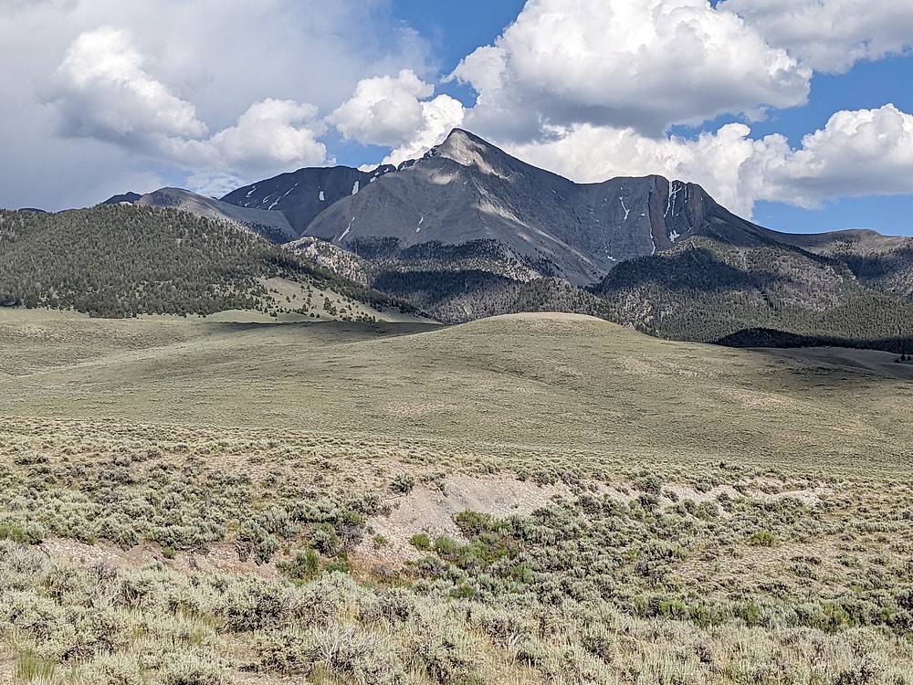
Tourist shot of Borah from the northwest, taken the night before. |
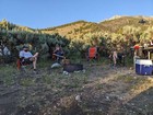
Telling campfire stories. |
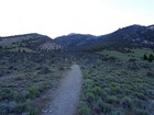
Departing the trailhead. |

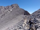
Nearing tree line. |
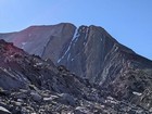
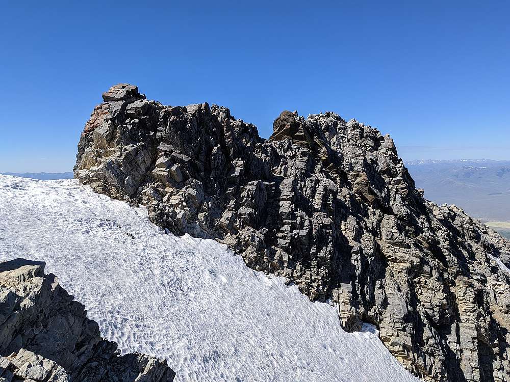
Chicken Out Ridge to the right of the snow bridge. |
The summit comes into view. |
Stowing the trekking poles before we start scrambling. |
First scrambling section. |
Deciding which way to go. |
Up on the ridge. |
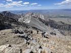
Taking our time on the ridge. |
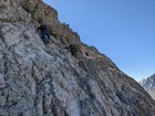
Doing some route-finding. |
Careful descent down to the snow bridge. |

Looking back on Chicken Out Ridge. |
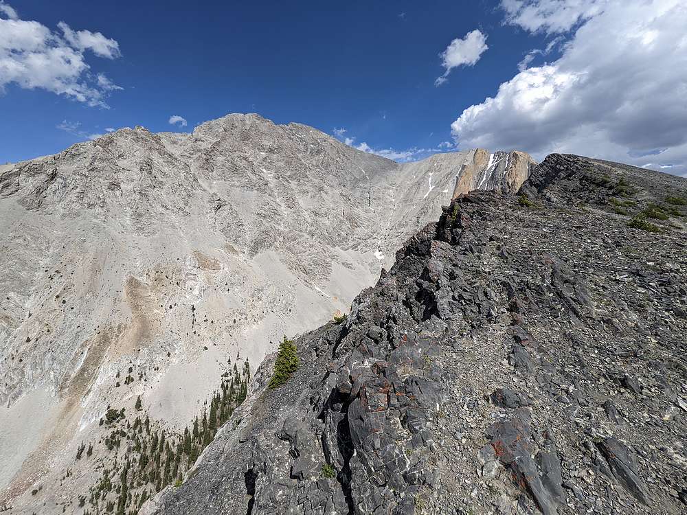
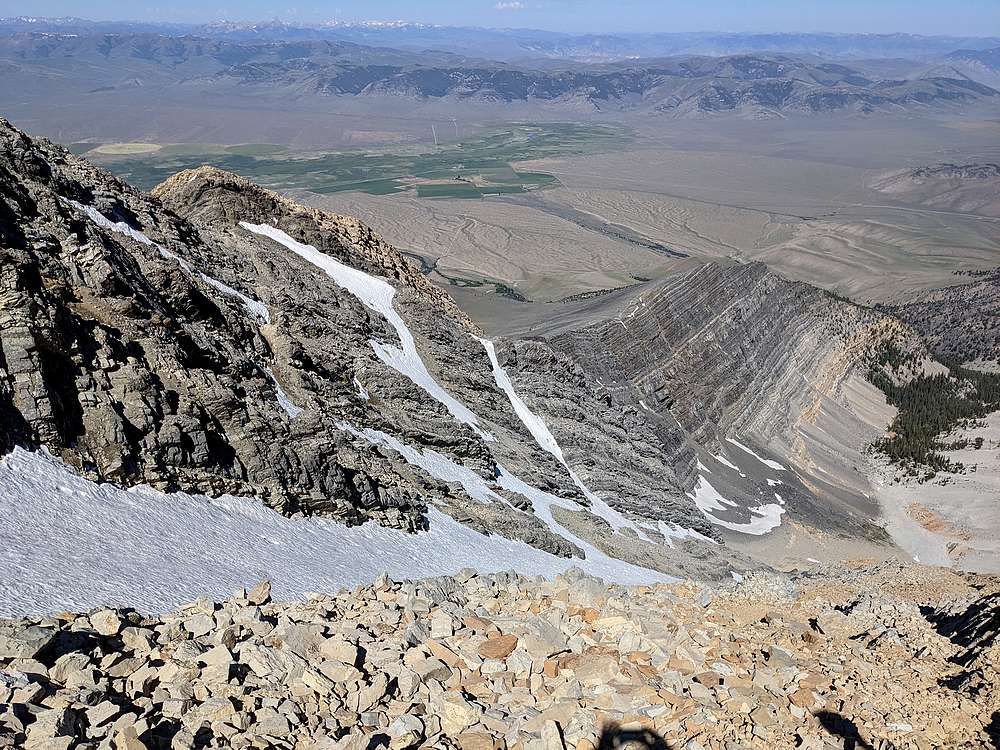
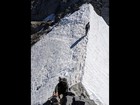
Exposed rock layers on Mount Borah's southwest ridge. |
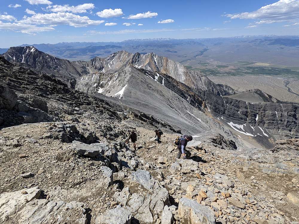
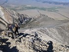
Eyeing the final section to the summit. |
Making our way up the summit block. |

Group shot on the summit of Mount Borah. |
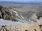
One final look at the upper mountain on our way down. |
|
|
|