|
Boulder Lake & Boulder Lake Peak
Idaho has several “Boulder Lakes”. This particular one is a gem and is located in the Pioneer Mountains of central Idaho. The area is home to many tall rugged peaks, wildflower filled meadows, and beautiful alpine terrain in general. The lake can easily be done as a day hike, or short overnighter. It’s also possible to add in a challenging climb of the obscure “Boulder Lake Peak” (elevation 11,100’), which is the highpoint of the ridge to the east above the lake.
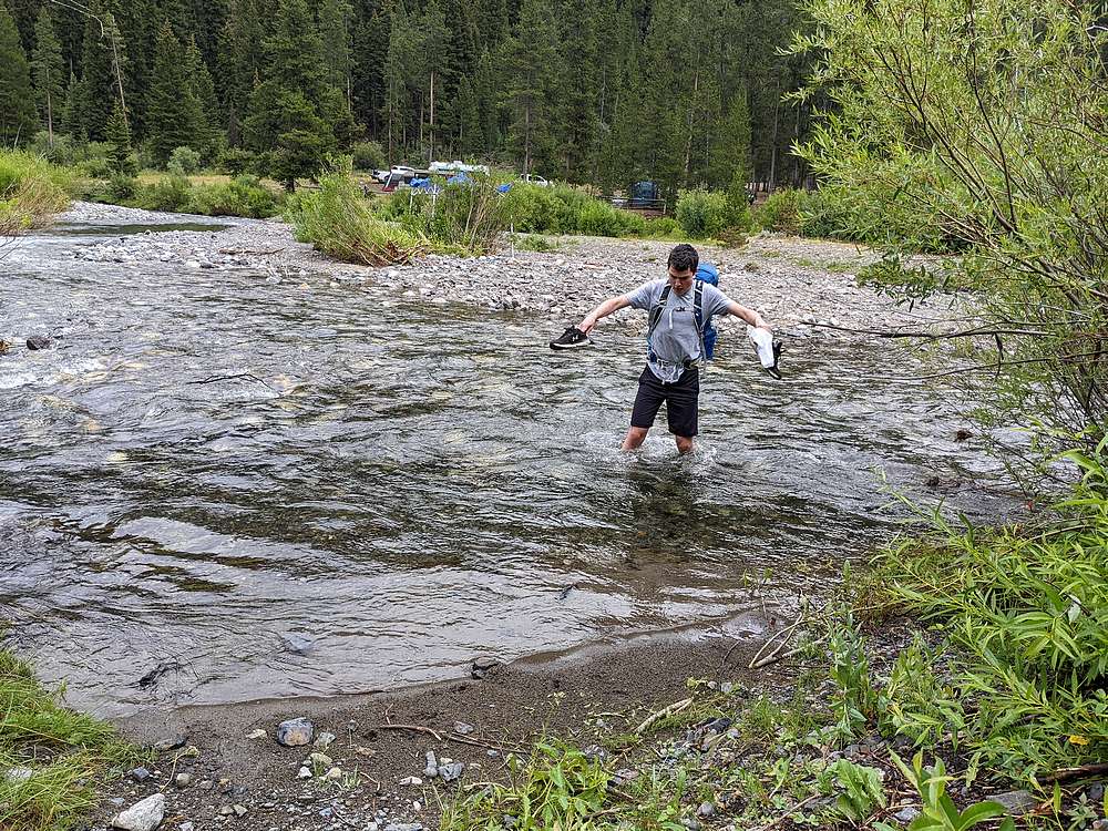
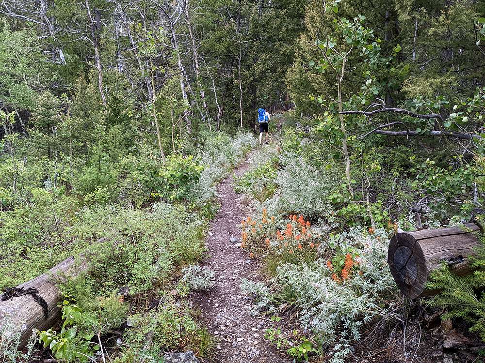
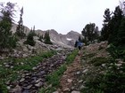
After a half day of work, and a 4 hour drive from Boise, my youngest son (age 16) and I arrived at the Boulder Lake trailhead around 5:30pm. Following a knee-deep crossing of Wildhorse Creek, it was time to beat feet up the trail! We made a good steady pace through the forest, and up the fairly steep trail. I was the slow one in the group, but did my best to keep up.
The grade relaxed around 9000’, and we were also rewarded with some amazing views. Tons of wildflowers, and we were surrounded by big rugged mountains. Soon enough, it was time for the final steep section up to the lake, and we made it without incident. It took us just over 2.5 hours to cover the 4 miles and 2200 feet of elevation gain the reach the lake.
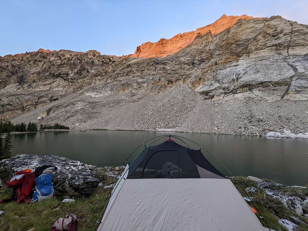
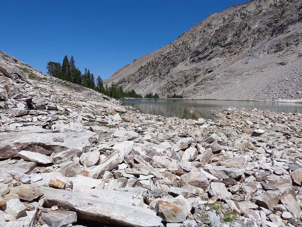
The lake was beautiful, and we walked along the west shoreline a ways to put some distance between us and another group that had already set up camp near the outlet. Our campsite was on a highly scenic rise about halfway along the lake. Given our late start, it was pretty much time to call it a night by the time we’d set up the tent and had a snack.
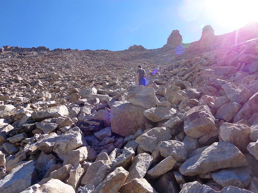
The next morning we awoke to a beautiful day. After breakfast, and pumping our water for the day, it was time to climb Boulder Lake Peak! We went along the west side of the lake, up the boulder field, and continued south until we were due west of the cliffs at the south end of the lake. From here, we followed some fun ramps to get around the cliffs, and contoured around to about 10,200’ before starting the talus climb up to the ridge.
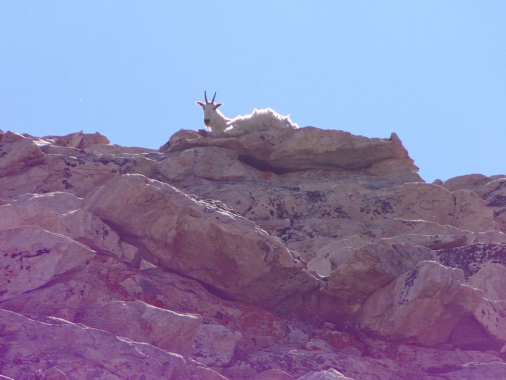
The talus slope looked steep from a distance, but wasn’t too bad once we were climbing. We just took our time to avoid kicking down any rocks on each other. At one point I noticed a mountain goat on the ridge above us. It decided to lay down at a sunny spot in the ridge was we climbed up toward it. We got within 50 yards of it before we turned north, but the goat never moved.
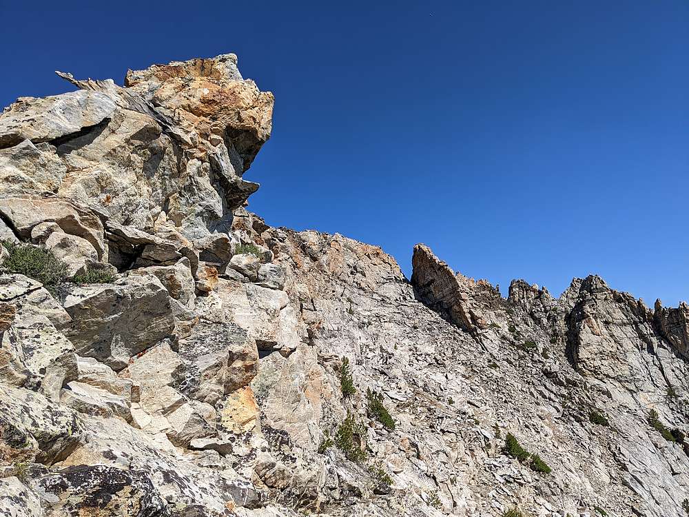
There are “two and a half pinnacles” on the ridge, marked Pt 11,024. Two tall ones, one stubby. We made sure to gain the ridge to the north of them. Once on the ridge, the views were exceptional, and we arrived at a notch and a decision whether to go on the west or east side of the ridge. Since the rock looked more stable on the east side of the ridge, that’s the route we chose.
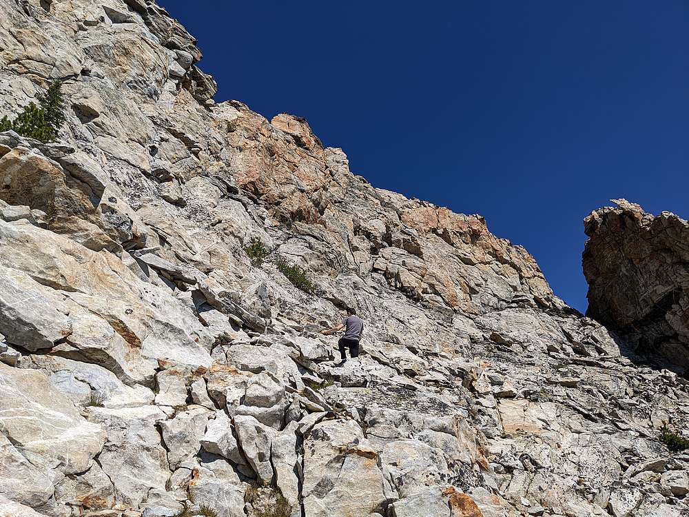
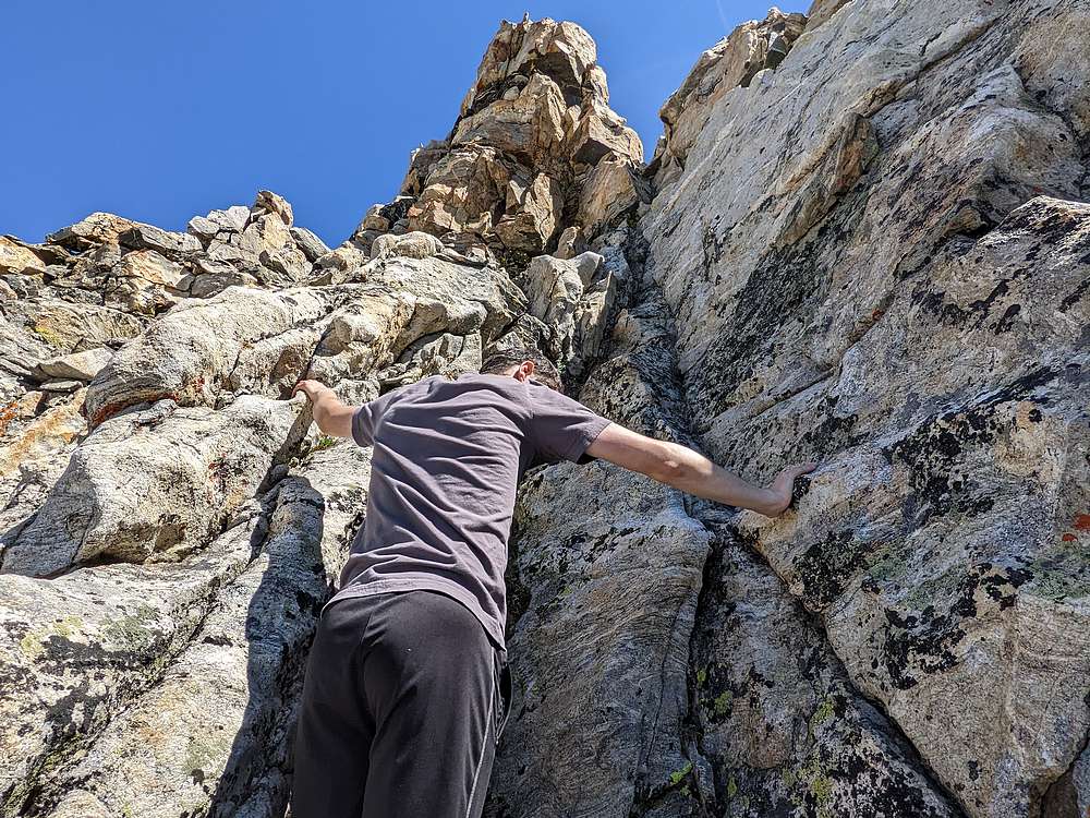
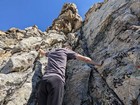
We made our way along the east side of the ridge. The rock was stable but steep, we looked for ways to climb directly up, but elected to head for a notch north of the summit, then climb up and follow the ridge directly to the summit. The final section to the summit was pretty exposed, I’d call it low 4th class. But the rock was stable and we took it slow. My son was fearless, but my fatherly nerves were definitely relieved when the danger was behind us and we made it to the summit.
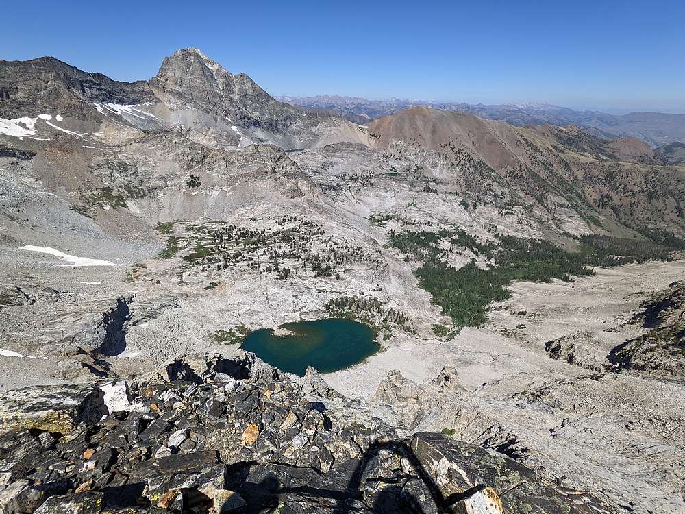
The summit offered up just enough room for us to take a seat, enjoy a snack, and soak in the views. And we could see the lake 1500’ directly below us. It was a very cool experience to share with my son, but I knew we still had some work to do to get down.
For the way down, the west face looked less exposed than retracing our ascent route. Still quite steep, but not super exposed thanks to various ramps and chimneys we down climbed. I went first, and was a spotter for my son as he got used to the steep scrambling. He did fantastic.
Soon enough, we were back to the talus slope. This section was tedious due to the loose rock, and it was a relief to get back down to flatter terrain above the cliffs. In this section, we took our time and watched for cool rocks along the way. My son filled his pockets with a variety of interesting ones. I figured the extra weight may make it easier for me to keep up with him during the hike out…
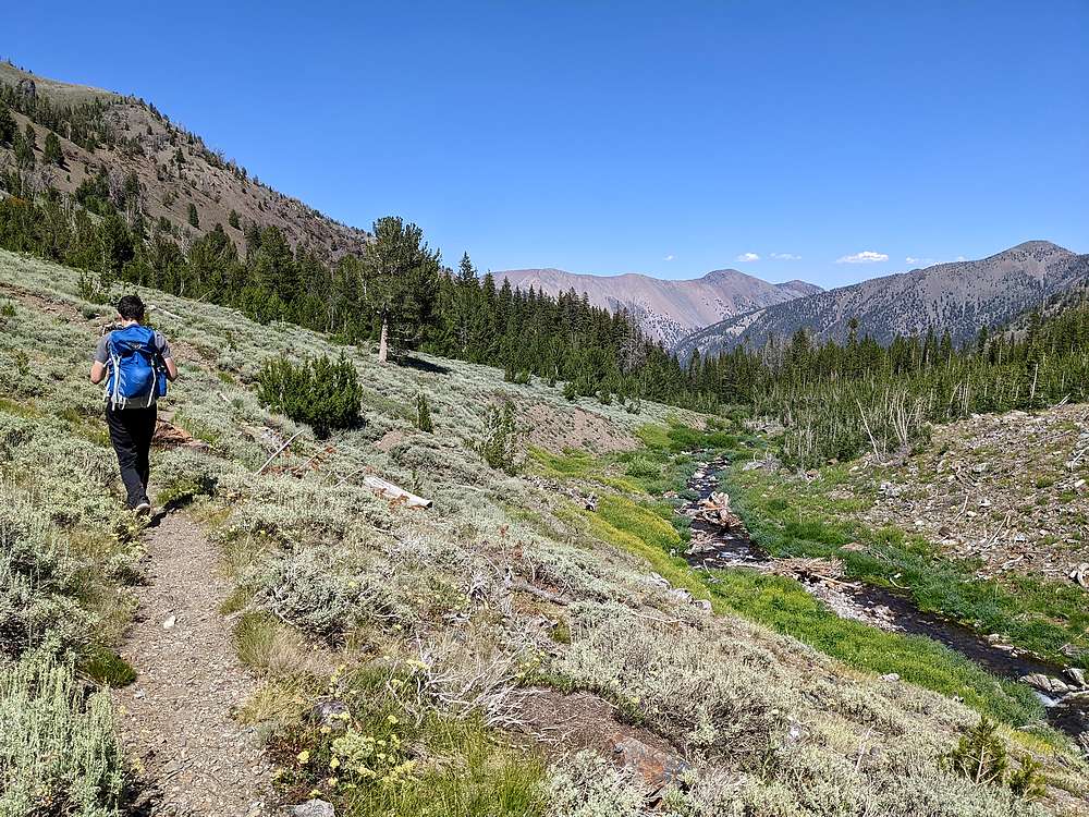
After descending the cliff ramps, and making our way back down the boulder field, we finally arrived back at the lake. It was time for PB&J’s, a favorite meal of both me and my son. After lunch, we spent the four mile hike back to the trailhead reliving the events of the morning. Good quality time.
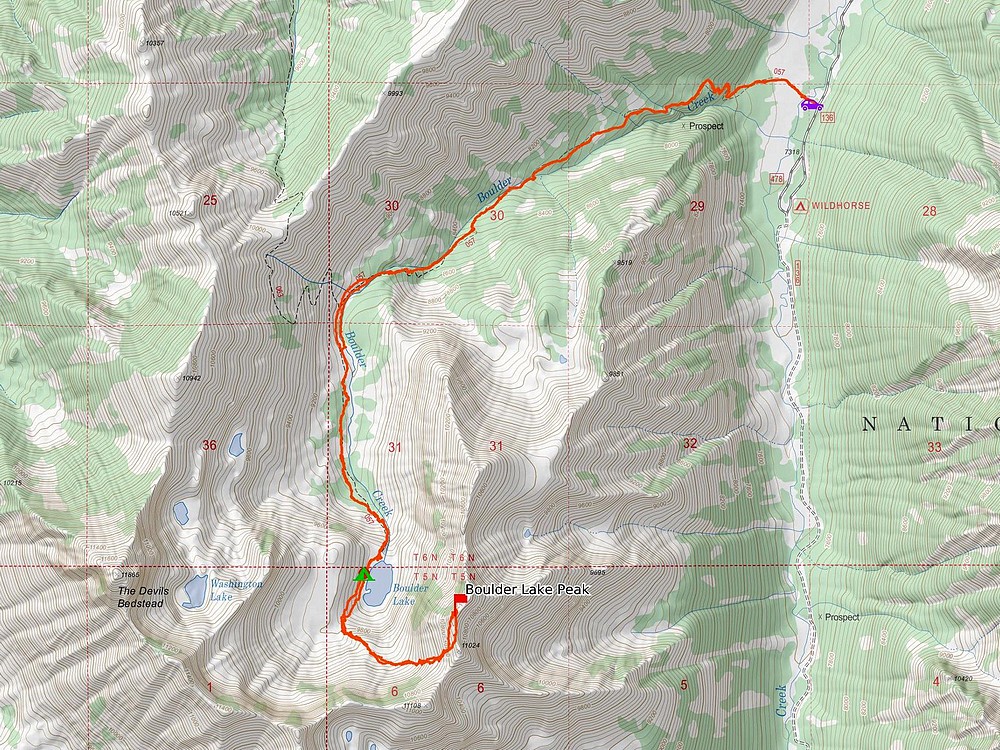
It had been a great alpine adventure with my son. Amazing scenery, sleeping under the stars, and a challenging peak to scramble up. Hard to beat a trip like this! Round trip was 11 miles and 3800’ of elevation gain.
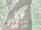
Map of the route, 11 miles and 3800' gain round trip. |
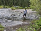
Wading across Wildhorse Creek, near the trailhead. |
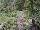
Heading up the trail. |
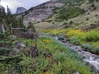
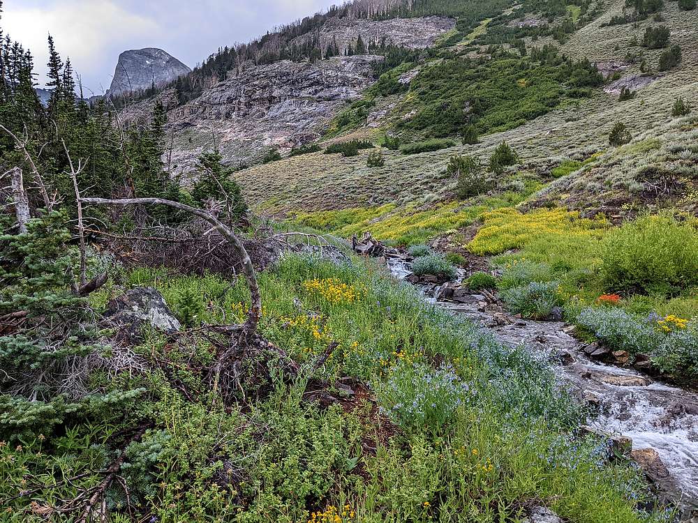
Tons of wildflowers, and Devils Bedstead come into view around 9000'. |
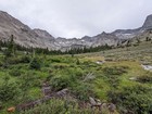
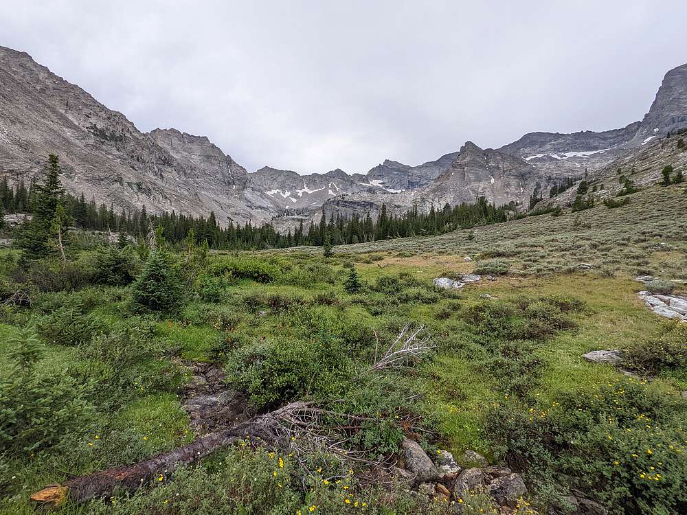
Amazing alpine terrain heading into the cirque. |
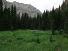
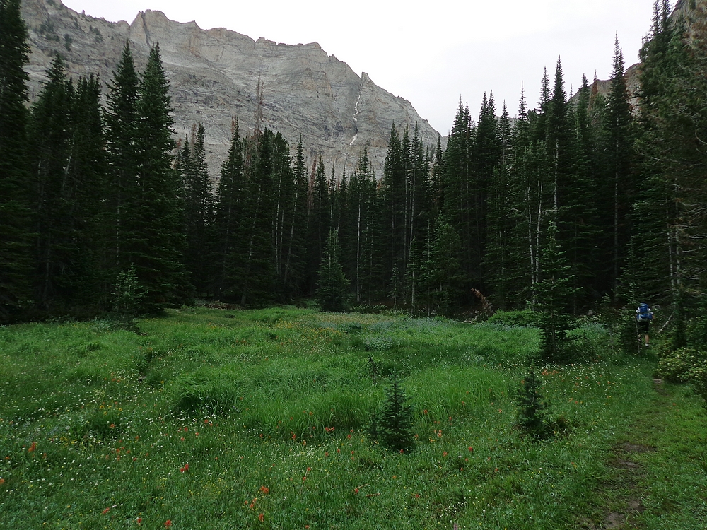
The trail weaves through forest and meadows. |
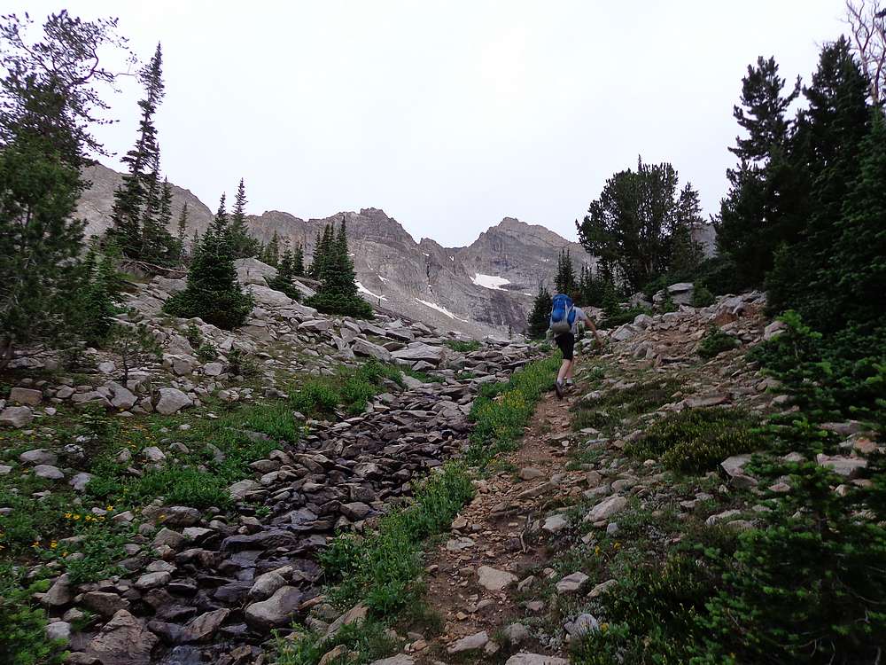
About to reach the lake. |
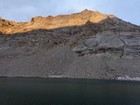
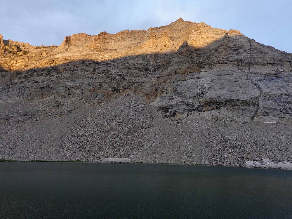
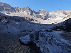
Sunset on Boulder Lake Peak from its namesake lake. |
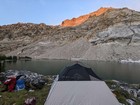
Campsite with a view. |
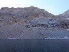
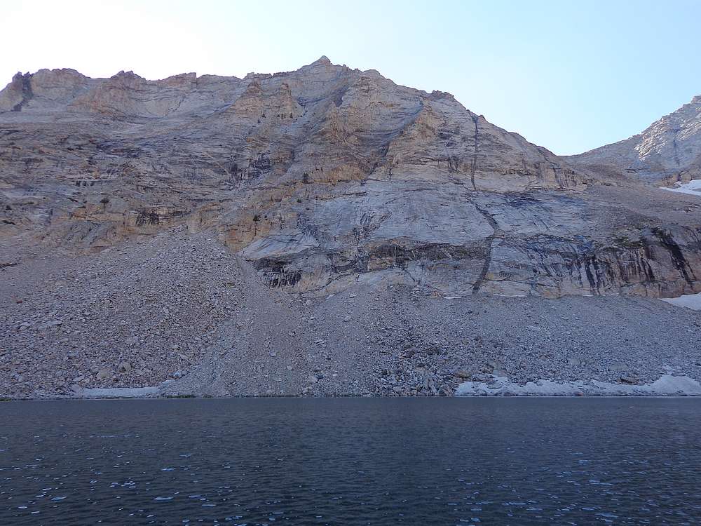
Boulder Lake Peak in the morning. |
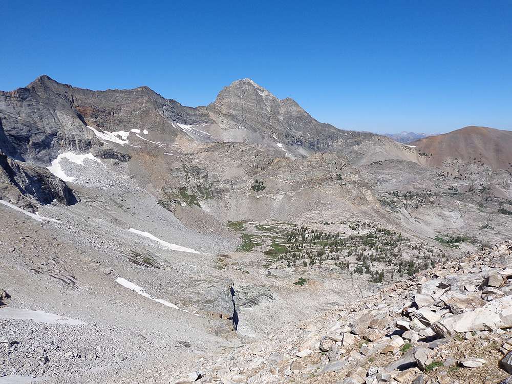
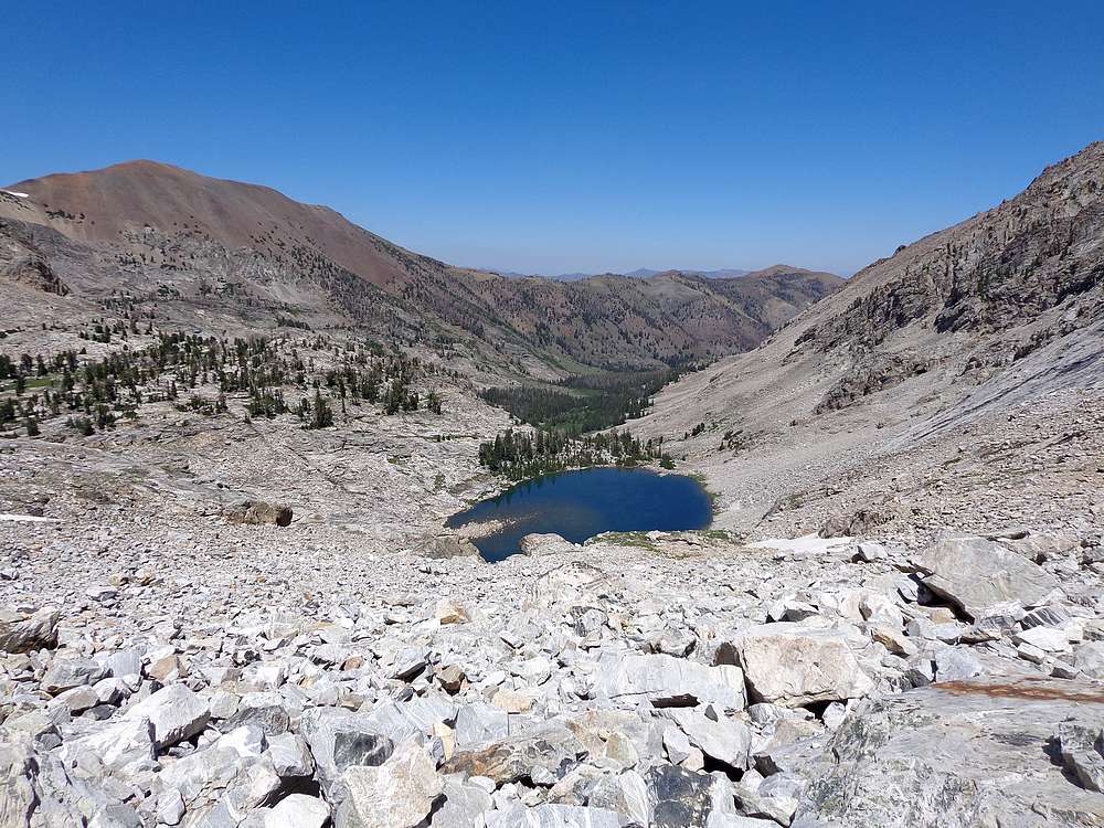
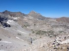
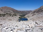
View looking south from Boulder Lake. |
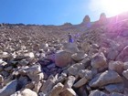
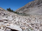
Lots of boulders and talus on our way to the ridge. |
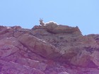
This mountain goat laid down and watched us climb. |
Looking back at the talus we climbed with Devil's Bedstead in the background. |
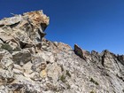
We ended up going through the notch visible from the east side of the ridge. |
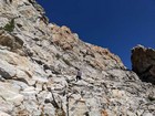
Crossing the east face of Boulder Lake Peak. |
Final scramble to the summit of Boulder Lake Peak. |

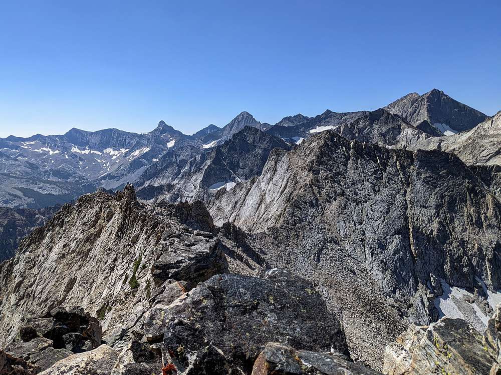
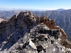
Summit views include Old Hyndman, Cobb, Hyndman, Duncans, and Goat. |
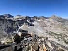
Summit views include Goat, Abel, and Devils Bedstead. |
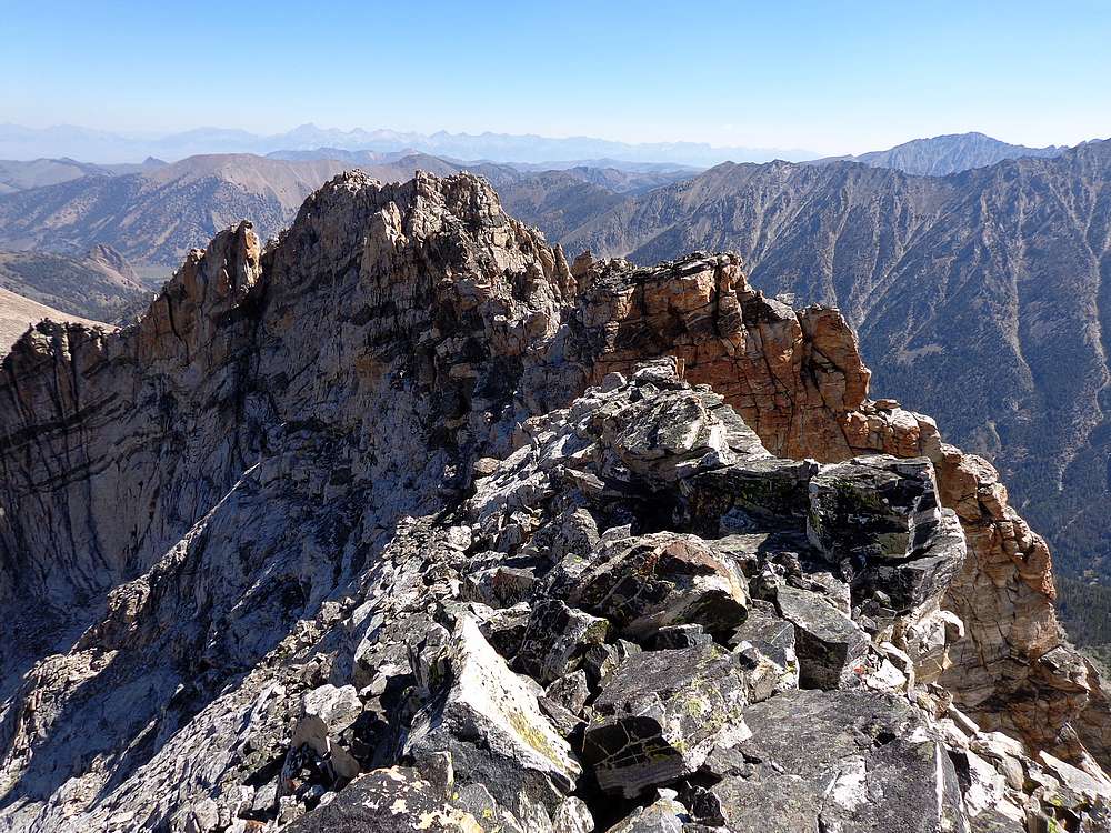
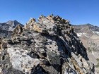
Looking back at the slightly lower north summit. We came up the reddish notch. |
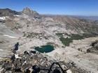
Boulder Lake and the Boulder Creek drainage. |
Some steep downclimbing on the west face. |
Descending back to Boulder Lake. |
Back on the shores of Boulder Lake. |

Heading back down the trail next to Boulder Creek. |
|
|
|