|
Liberal Mountain and Cannonball Mountain
Liberal Mountain and Cannonball Mountain are located in the Solder Mountains, just north of the town of Fairfield and the Camas Prairie. These two mountains are located on the northeast side of the range. The terrain is open and offers easy travel and excellent views. Both are accessible via short hikes, or combined together for a slightly longer hike.
When my wife said she wouldn’t mind going on a hike with me, I got to looking for something that wouldn’t be too challenging, and not a super long drive. After reading Zach’s trip report, these two seemed like a good choice. We made the 2.5 hour drive from Boise, up and over Wells Summit, and then followed the Cannonball Creek road until it petered out on the ridge about halfway between the two peaks.
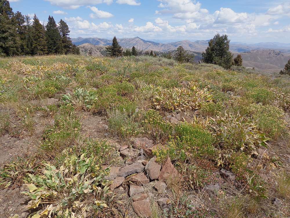
We decided to head to Liberal Mountain first since it had better views. Travel was easy, and we took our time heading up the ridge. There were occasional cow trails to follow, and we took our time enjoying the views as we went. The final climb to the rocky summit was a little steeper, and we were rewarded with some fantastic views from the summit. It was a great place to rest and enjoy a PB&J!
On the way back, we just retraced our path along the ridge. It was very pretty, and would probably be just gorgeous earlier in the year when the wildflowers were still in bloom. Once back to the vehicle, my wife decided one peak was enough for her, but said she didn’t mind of I gave Cannonball a try.
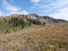
From the parking spot, I followed an ATV trail heading south along the ridge until it met the tree-line. The trail stopped here, but intermittent cow trails followed a fence line up through the forest. I made my way through the trees until reaching more open terrain on the final summit ridge. The summit area was broad, and I wandered around trying to discern to highest point.
The views of the Camas Prairie were good from Cannonball Mountain, but trees blocked the views to the north. After a short break, I then retraced my path back to the parking area. I tried to hustle so my wife didn’t have to wait long.
It had been a great day in the mountains with my better half. Great views, easy hiking, and a sunny day. Round trip for both mountains was about 4.5 miles and 1200’ of elevation gain in 2.5 hours of hiking.
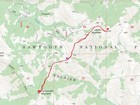
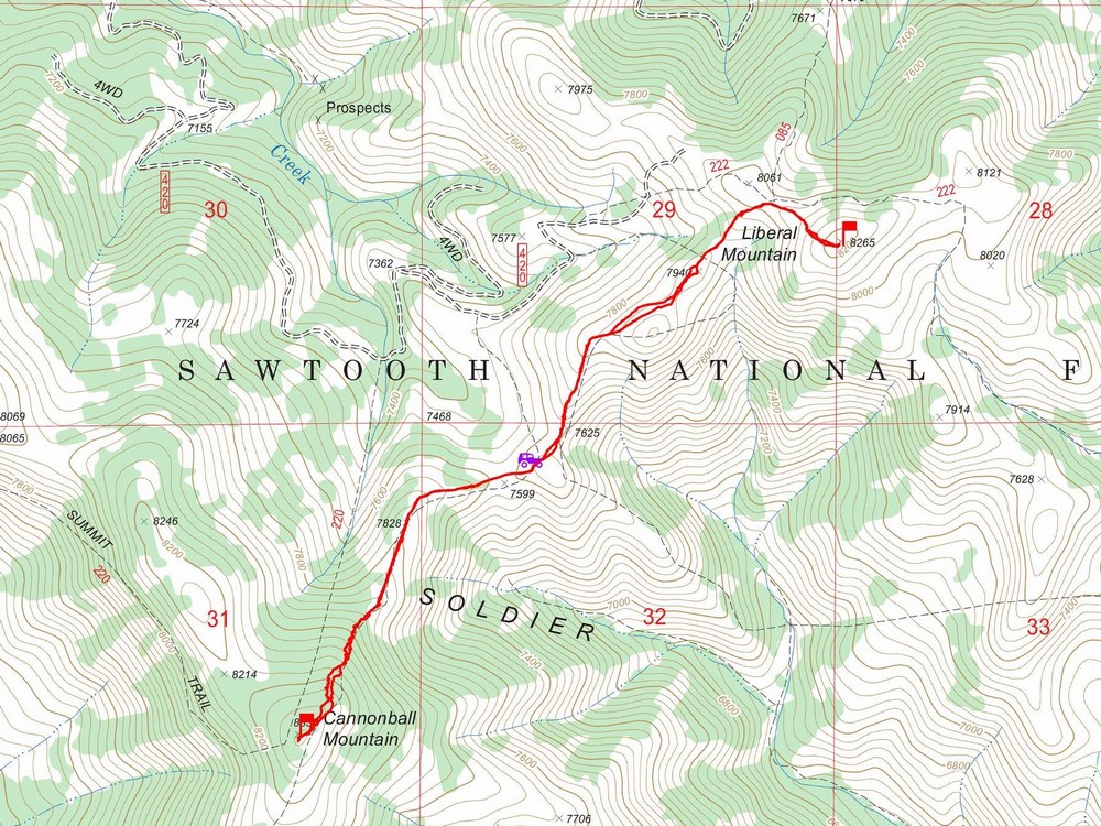
Map of the route, about 4.5 miles and 1200' gain round trip. Most trails shown on map are incorrect or don't exist. |
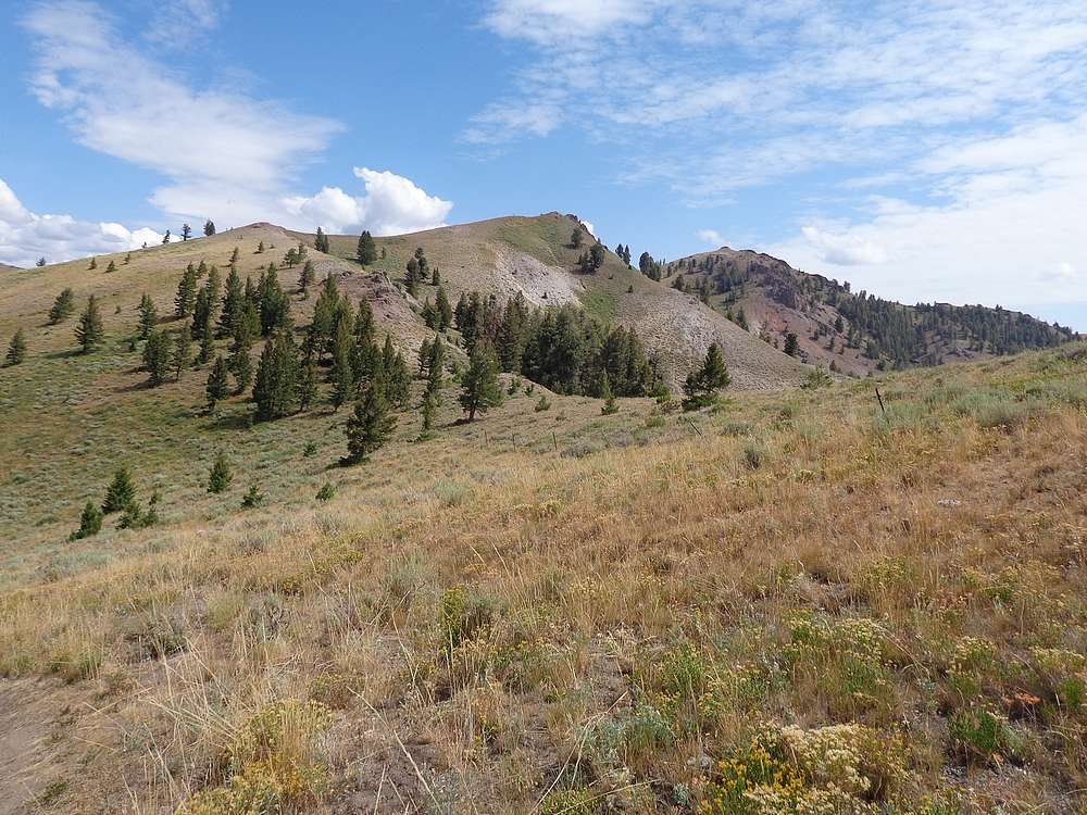
View from start of the hike, Liberal Mountain on the right. |
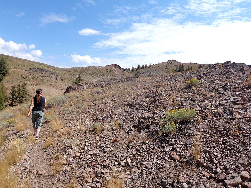
Making our way toward Liberal Mountain. |
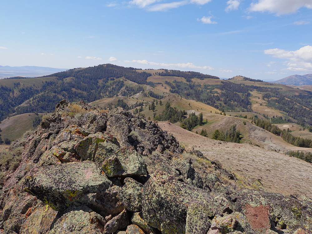
Summit of Liberal Mountain looking north. |
Cannonball Mountain from Liberal Mountain. |
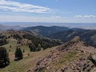
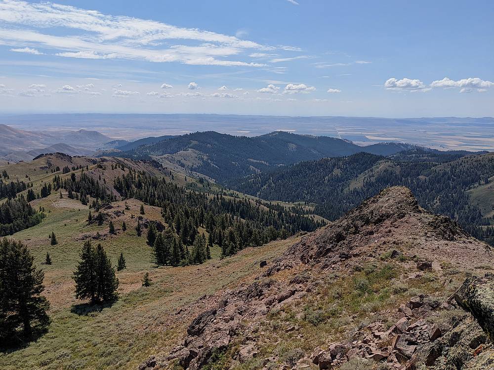
Camas Prairie from Liberal Mountain. |
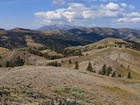
Smoky Dome from Liberal Mountain. |
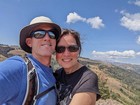
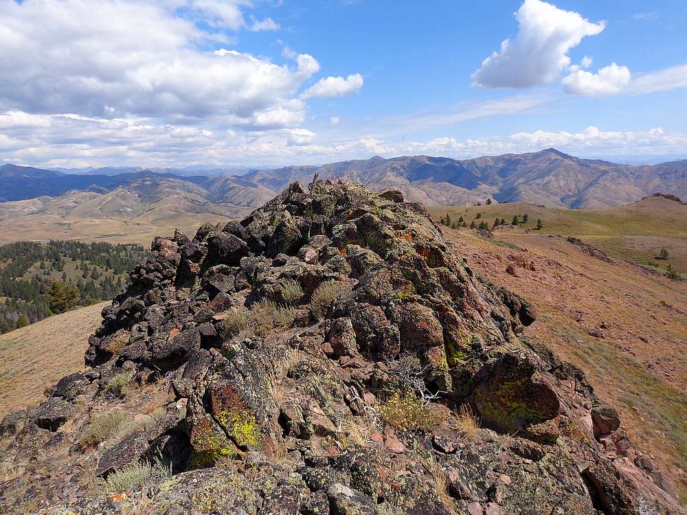
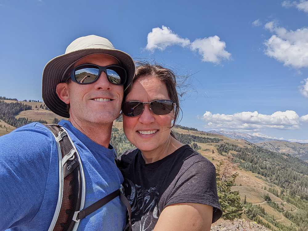
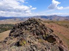
Liberal Mountain summit shot. |

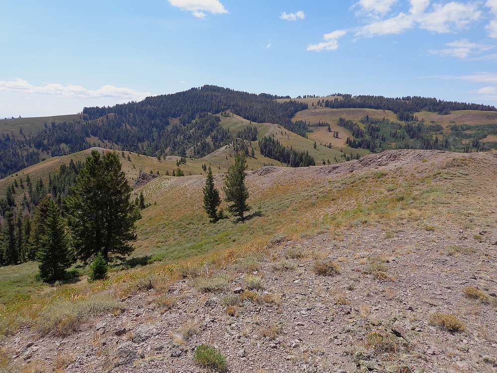
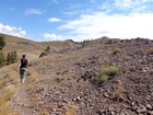
View of Cannonball Mountain during our hike down. |
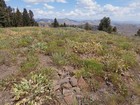
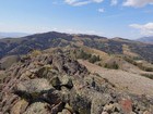
Cannonball Mountain summit area. |
|
|
|