|
Doublespring Peak & Mahogany Trident
A creative three peak day in the Lost River Range
|
Related Links:
- Splattski Trip Report
- Fadgen's Adventures
- Trailhead Location
- My GPS Tracks
- Horseheaven Peak: TL, PB, LOJ, Map
- Doublspring Peak: IS, TL, SP, PB, LOJ, Map
- Mahogany Trident: TL, PB, LOJ, Map
|
The Lost River Range of eastern Idaho is home to some rugged and seldom visited terrain. The area north of Mount Borah, and south of Doublespring Pass typifies this. Maps make it look pretty straightforward to traverse ridgelines and connect together multiple peaks in a single outing. And while this is certainly possible, don’t assume it’ll be easy.
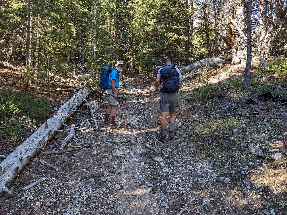
After a very long day on Brocky Peak the day prior, Michael and I were scheduled to meet Steve for a climb of Horseheaven Peak from Cayuse Canyon. Meeting location was vague, but we eventually got ourselves together. We’d managed to drive all the way to 8500’, but there were are couple pretty tough spots on the road along the way.
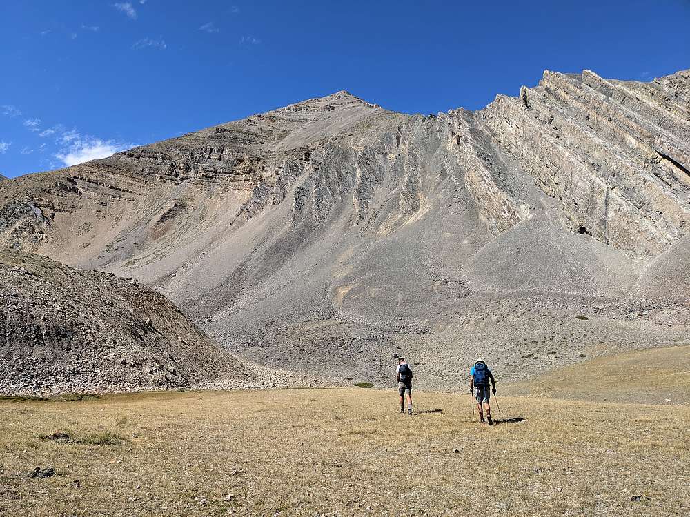
The start of the hike was on an old jeep trail, and then a single track trail. The scenery was nice as we made our way up Cayuse Canyon, through a beautiful basin, and then to the saddle between Doublespring Peak and Horseheaven Peak (Pk 10878’). We even spotted a few bighorn ewes along the way. From the saddle it was a pretty straightforward ridge walk to the summit of Horseheaven Peak.
The summit of Horseheaven Peak was a great vantage point to soak in the views and enjoy some lunch. We also discussed plans for the rest of the day. Steve and Michael had already climbed all the other nearby peaks, but I figured a quick side-trip up 11er Doublespring Peak was in order since we were so close. But Michael had also mentioned to possibility of me continuing along the ridge to Mahogany Trident, and they would drive over to pick me up in Mahogany Creek. Sold!
So we studied the map, set a meeting location, and parted ways. I hustled back down to the saddle and then set a steady pace climbing the ridge to Doublespring Peak. It was a quite a bit of talus, but the climbing wasn’t bad.
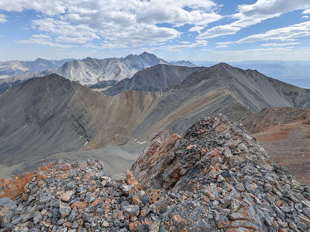
Once on the summit of Doublespring Peak, I studied the rest of the ridge route ahead of me. It looked far from a gimme, but I forged ahead. The section from Doublespring to Pt 11545’ was a fun adventure, never obvious it was going to work out, but never any serious obstacles either.
The ridgeline south of Pt 11545’ looked intimidating, but I managed to find a sheep trail along the west side of the ridge that bypassed various towers and cliffs. Soon enough, I was angling across the northeast face of Pt 11309’ and heading toward Mahogany Trident.
The west ridge of Mahogany Trident was tricky, with a fair amount of route-finding to keep things no harder than class 3. The most challenging section involved dropping a couple hundred feed down the south face to bypass cliffs just west of the summit.
I took a quick break on the summit of Mahogany Trident to admire the views looking back on my route, and have a snack. But I couldn’t stay too long since I was behind schedule to meet the others. So down the east ridge I went. The ridge was pretty fun, but soon enough I was descending steeper talus, which was more tedious. At one point, I spotted Steve’s truck over a thousand feet below me, which took some of the uncertainty out of the descent into Mahogany Creek.
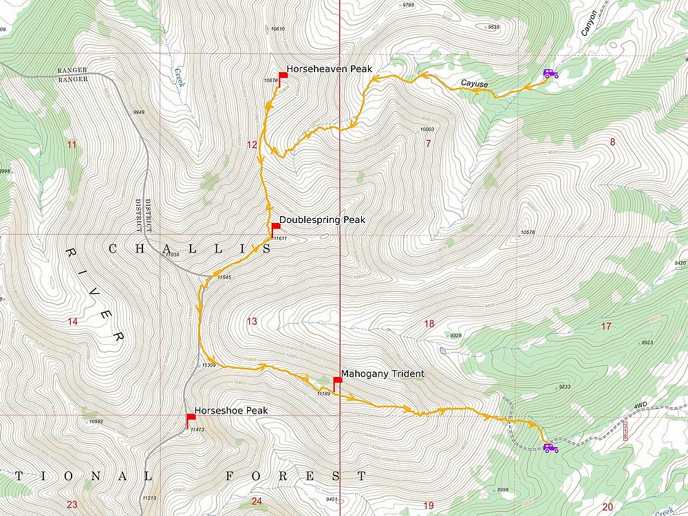
Total stats for the trip was only 7 miles and 3700’ of elevation gain in 7 hours. But it certainly seemed like more because of the slow route-finding along the way. This trip definitely ended up being a creative way to summit three peaks, including two 11ers. Probably good it wasn’t any longer, since we had a big day planned on True Grit the next day.
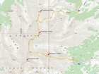
Map of the route, 7 miles and 3700' gain from end to end. |

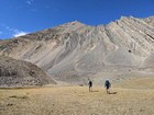
Hiking up Cayuse Canyon. |
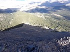
Neat basin in upper Cayuse Canyon. |
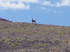
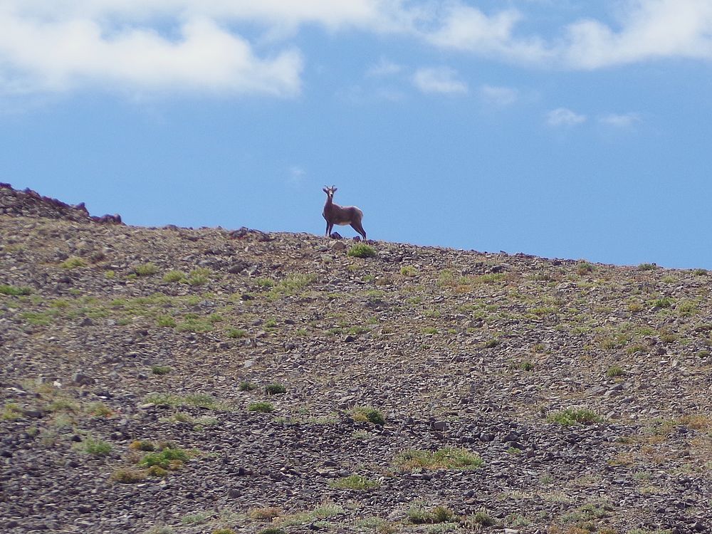
Bighorn ewe in the saddle between Horseheaven and Doublespring. |
South ridge of Horseheaven Peak. |
Nearing the summit of Horseheaven Peak. |
Doublespring Peak from Horseheaven Peak. |

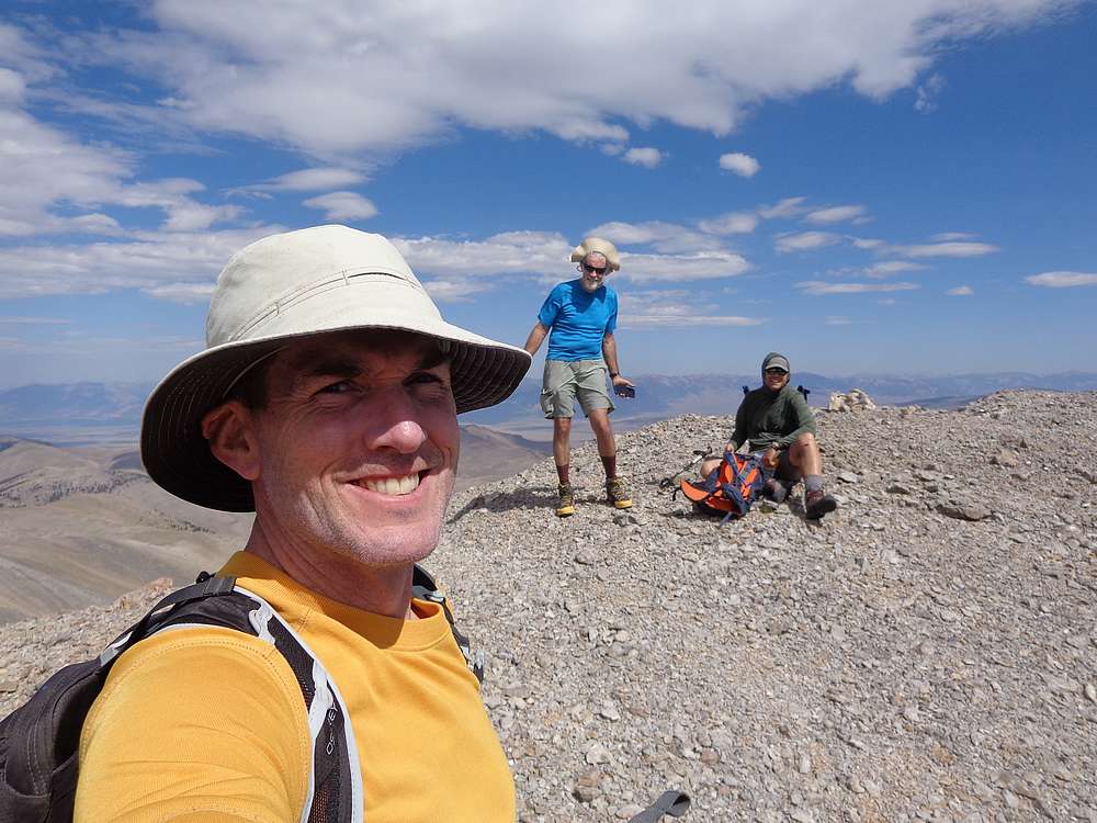
Group shot on Horseheaven Peak. |

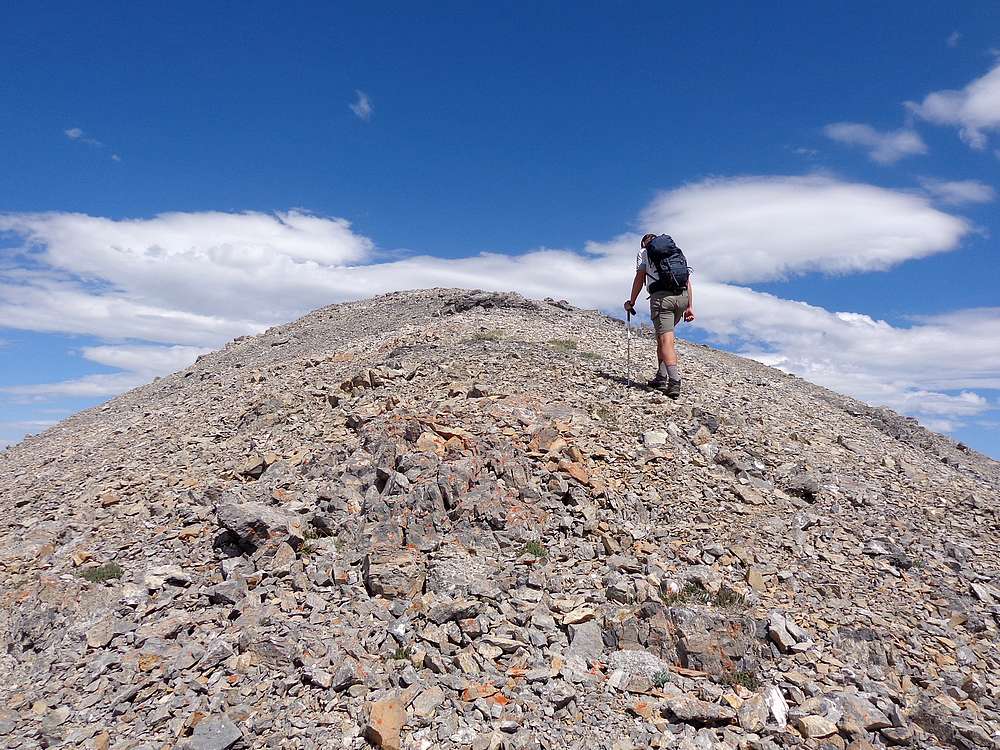
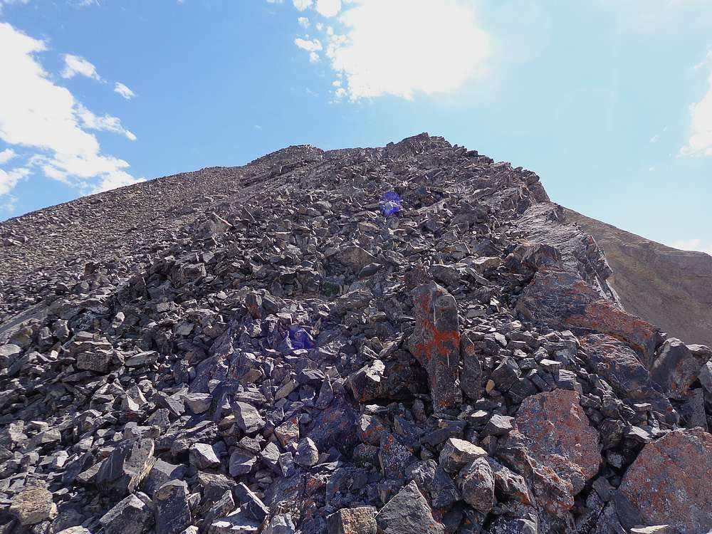
Heading up the north ridge of Doublespring Peak. |
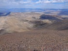
Cayuse Canyon from Doublespring Peak. |

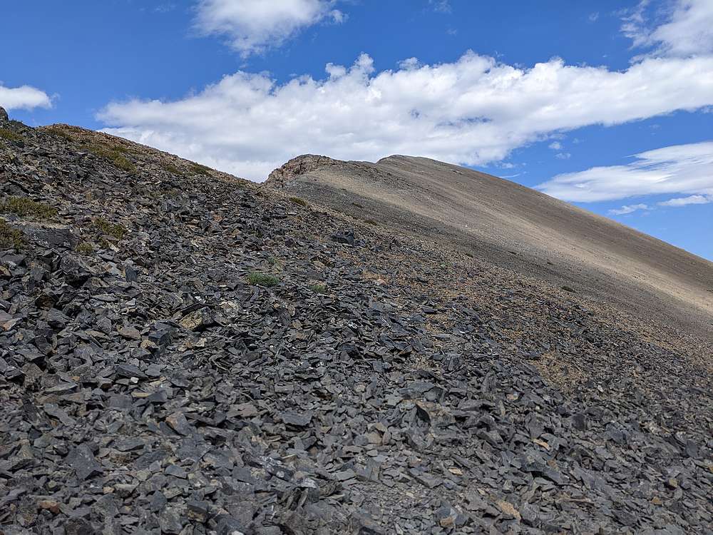
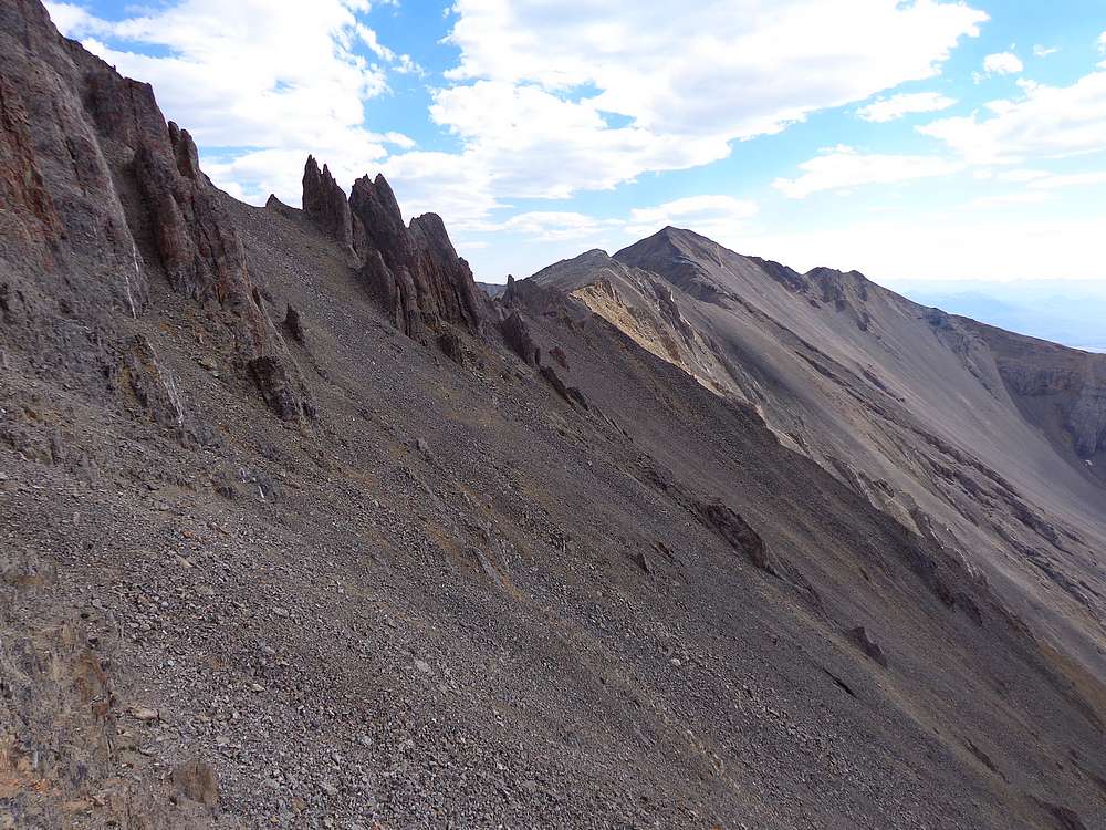
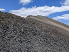
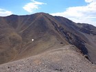
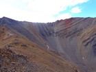
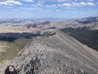
Southwest ridge of Doublespring Peak. |

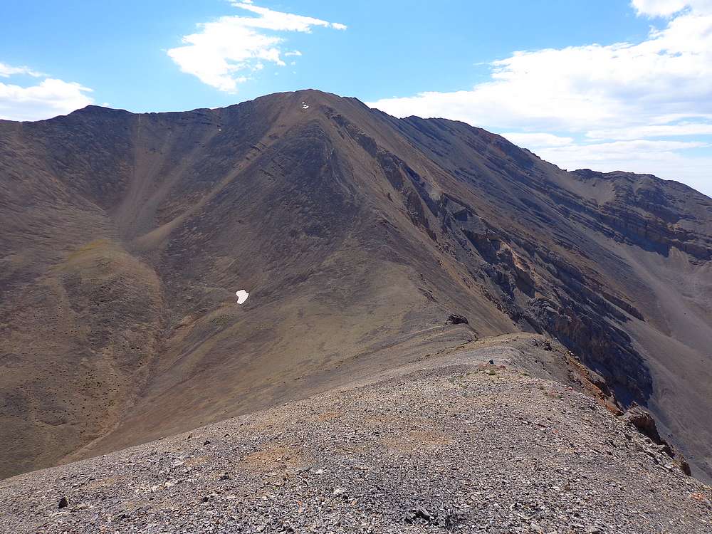
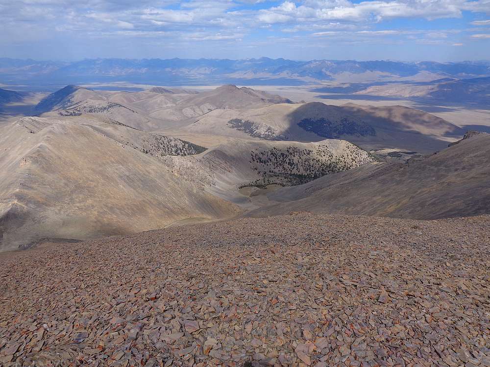
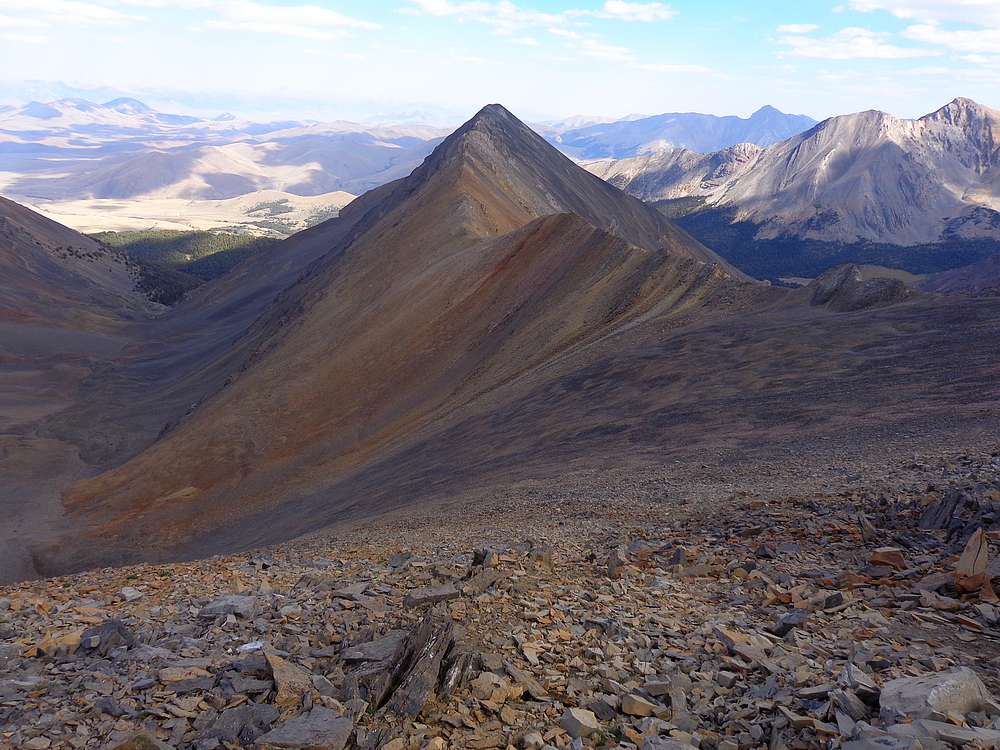
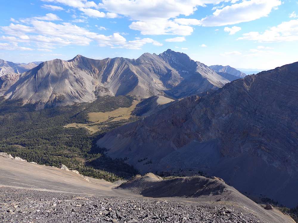
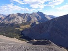
View from Pt 11545' includes Mahogany Trident and Mount Borah. |
Following sheep trails on the east side of the ridge, Horseshoe Peak in the distance. |
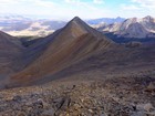
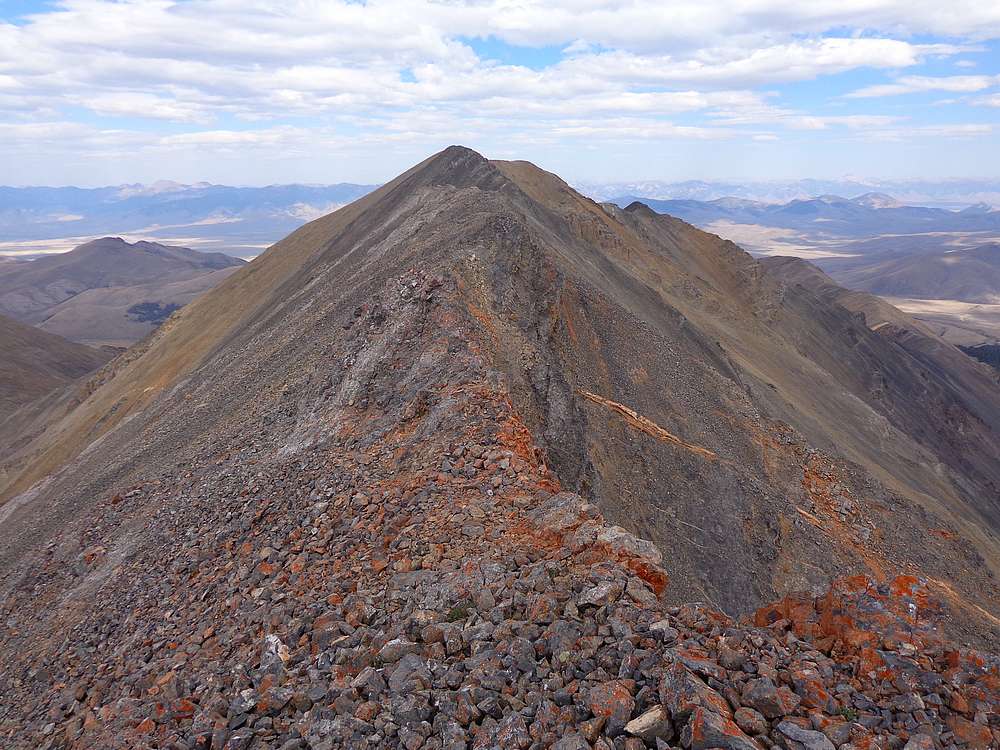
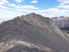
Mahogany Trident from the west. |
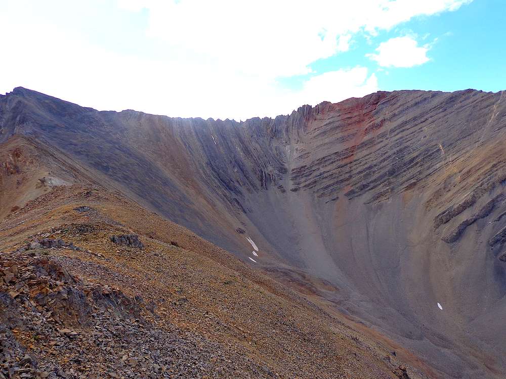
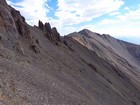
Looking back on the ridge and some crazy vertical strata. |
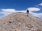
Nearing the summit of Mahogany Trident. |
Mount Borah above upper Mahogany Creek, from Mahogany Trident. |
Looking back on the summit of Mahogany Trident. |
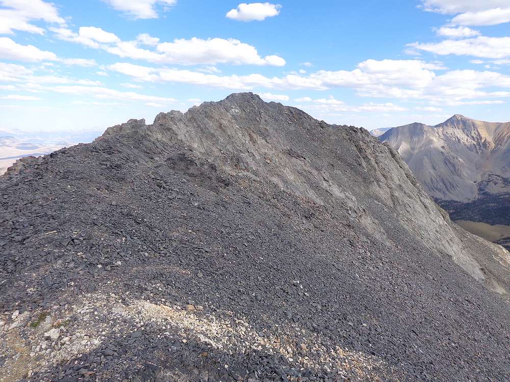
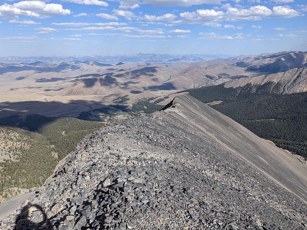
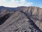
East ridge of Mahogany Trident. |
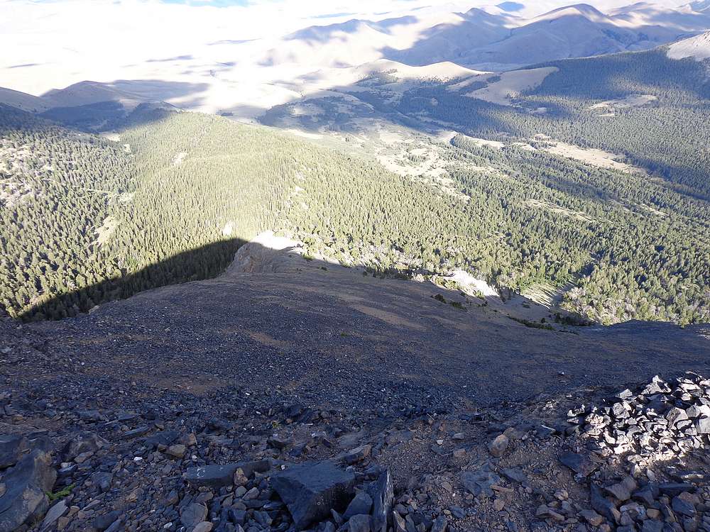
Descending into Mahogany Creek to find the others. |
|
|
|