|
Dry Buck Peaks
Dry Buck Summit is located in the West Mountains, above the confluence of the North Fork and South Forks of the Payette River, not far northeast from Banks. This area is at the southern end of the West Mountains. There are three peaks located nearby. The most worthy of which is Dry Buck Mountain, with the best views and a decent trail. This report covers the other two peaks, likely only of interest to devoted peak baggers who enjoy a good bushwhack.
My wife and I had visited Dry Buck Mountain a few years ago, so I knew this was a pretty area. I also knew the other two peaks weren’t too exciting. But being nearby, and always looking for summits to tag, I decided to give them a try.
I made the drive to Dry Buck Summit from Boise via Gardena and the Brownlee Loop Road, and parked just west of the summit where Road 620 meets Road 643. It was hunting season, so I put on my orange shirt and began hiking north along the road.
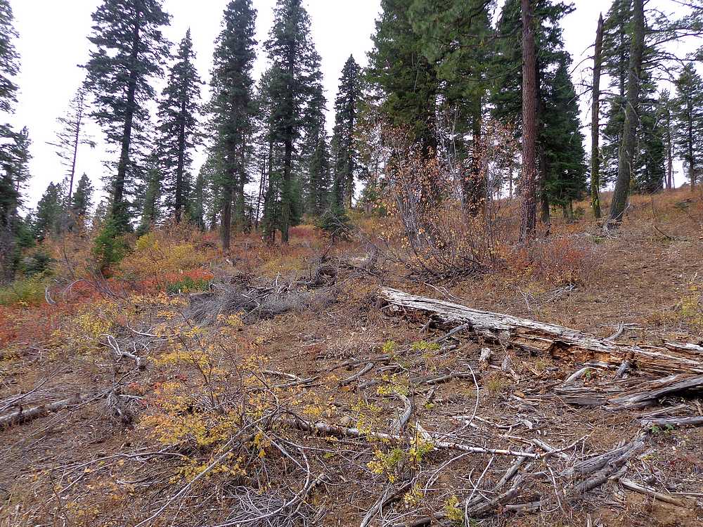
My first objective was Peak 6323 (Dry Buck Northwest). For access, I hiked up the gated road on the east side of the peak. Once due east of the summit, I headed up hill and wandered through brush until I reached the highpoint. Views were minimal, but I was enjoying the nice afternoon. After a short break, I just headed straight south along the ridge until dropping onto Road 643.
After hiking the road back to where I’d parked, I then hiked along Road 620 for a bit, then headed up the north ridge of Peak 6230’ (Dry Buck Southwest). This routed ended up being pretty brushy, but I made it to the highpoint without too much trouble.
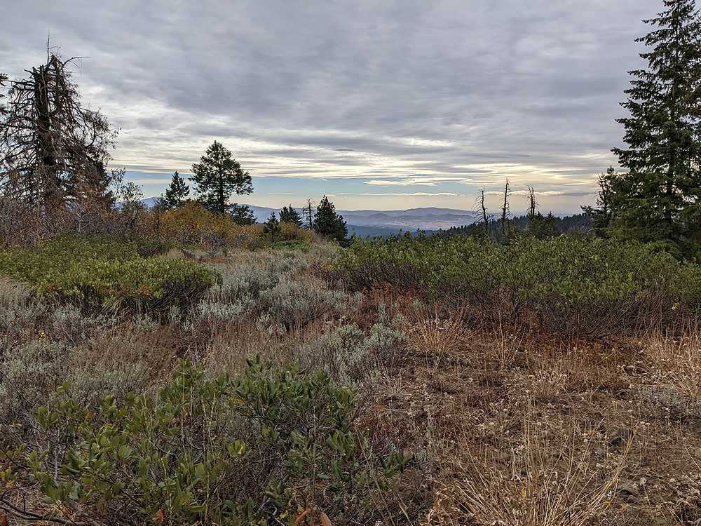
This second peak had better views, and I took a few photos before heading down. Instead of the brushy north ridge, I descended to go to the west since it look more open, and was a shorter path to the road. On the way down, I scared up a couple deer, and then arrived at the road, which I followed back to my parking spot. Round trip for my figure-eight loop was 4 miles and 1000’ feet of elevation gain in 90 minutes.
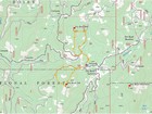
Map of the figure-8 route, 4 miles and 1000' gain round trip. |
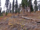
Heading up Dry Buck Northwest. |
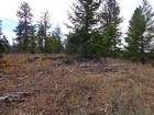
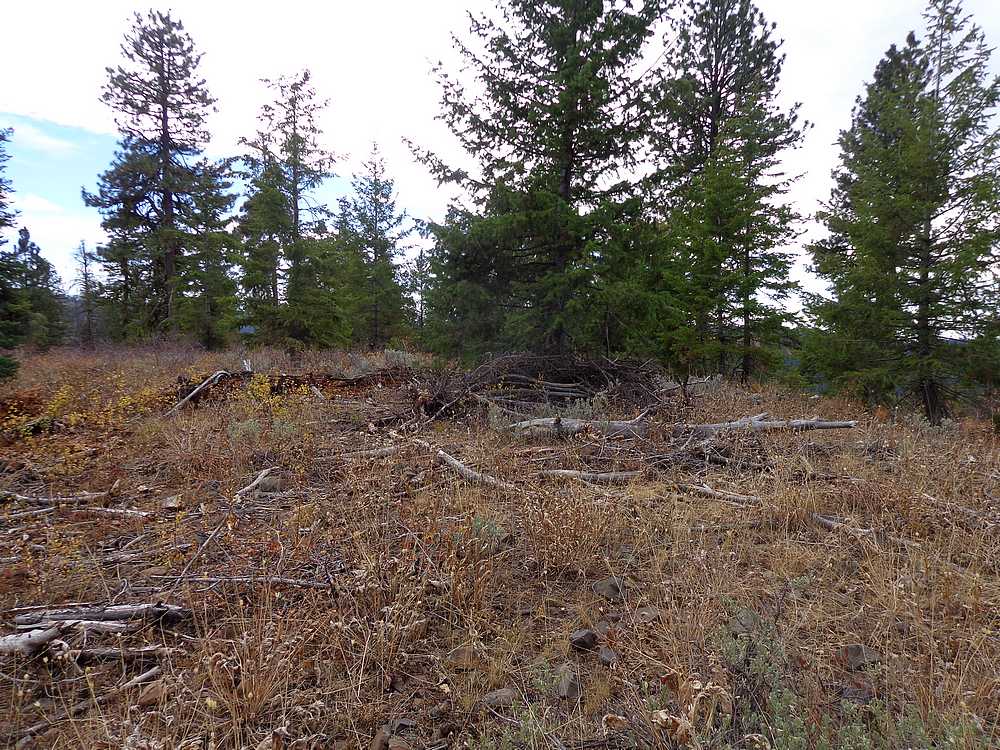
Dry Buck Northwest summit area. |
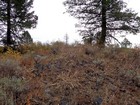
Dry Buck Southwest summit area. |
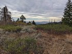
View south from the summit of Dry Buck Southwest. |
|
|
|